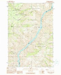
1990s Maps of Idaho
Explore 650 historic maps of Idaho from the 1990s. These maps offer a rare glimpse into what life looked like during the 1990s — showing old roads, neighborhoods, homes, and landmarks that have changed or disappeared over time.
Whether you're researching your family's past, planning a metal detecting trip, or studying how Idaho's landscape evolved across the 1990s, these high-resolution maps are a powerful tool for exploring the history of this region.
- Focus on a specific era: All maps on this page are from the 1990s, giving you a focused view of this time period.
- See what’s changed: Compare century-old streets, trails, and buildings to today's modern landscape using overlays and satellite layers.
- Research with precision: Use these maps for genealogy, historical research, land use analysis, or educational projects.
- View, download, or print: Maps are fully viewable online in high resolution, and can be downloaded or printed for your own records.
Start exploring Idaho's history through authentic maps from the 1990s. This is your window into the past.
Idaho maps
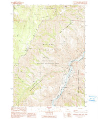
- 1990 Map of Buck Hollow
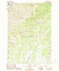
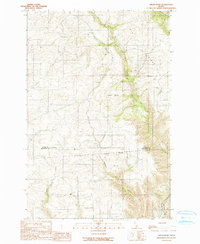
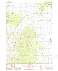
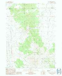 1990 Buck Hollow1990 Print · USGSThe high borderlands of Utah and Idaho are captured here in the late twentieth century, showing a remote landscape of mountain ranges and desert springs. Genealogists and historians can trace the paths through Buck Hollow and find named landmarks like Sparks Spring or the Quarry.
 - 1990 Map of Purgatory Saddle
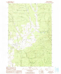
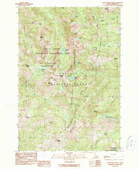 1990 Purgatory Saddle1990 Print · USGSHigh in the Seven Devils during the 1990s, this map captures a landscape of intense relief and wilderness protection. Researchers can locate remote mining history at the Iron Springs (Site) and trace backcountry trails through Purgatory Saddle and Six Lake Basin.2 unique versions available
 - 1990 Map of Triangle
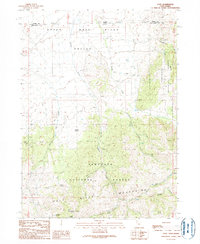
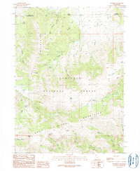
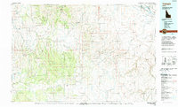 1990 Triangle1990 Print · USGSThe Owyhee high desert is captured here in the late twentieth century, showing a vast network of canyonlands and isolated settlements. Researchers can trace historic mining activity at Black Warrior Mine and the remote outpost of Triangle amidst the Owyhee Mountains.
 - 1990 Map of Hat Point
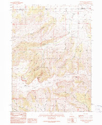
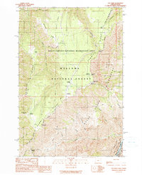 1990 Hat Point1990 Print · USGSThe Oregon-Idaho borderlands in the 1990s were a landscape of massive canyon descents and forest outposts. Researchers can trace the high-country infrastructure of Memaloose Guard Sta and follow the Western Rim National Recreation Trail past Hat Point.
 - 1990 Map of Temperance Creek
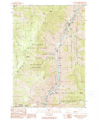
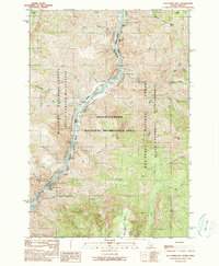
 1990 Temperance Creek1990 Print · USGSThe Wallowa high country and the Snake River corridor meet in the late 1980s along the Idaho border. Genealogists and historians can trace isolated homestead sites like Wisner Place and Brockman Ranch or locate Mine Tunnels along the canyon floor.
 - 1990 Map of Juliaetta
 1990 Juliaetta1990 Print · USGSThe canyon of the Potlatch River and the high plateaus of Latah County are captured here just as the late twentieth century began. Genealogists and local historians can trace the boundaries of the Nez Perce Indian Reservation or locate family sites like American Ridge Cem and Juliaetta Cem.
 - 1990 Map of Curlew Junction
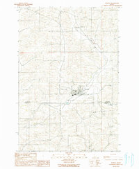
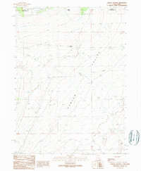 1990 Curlew Junction1990 Print · USGSThe Utah-Idaho borderlands come into focus in the early 1990s, where the high-desert basin meets the forest edge. Local historians can trace the path of the Emigrant Trail through Curlew Valley and locate water landmarks like Pilot Spring.
 - 1990 Map of He Devil
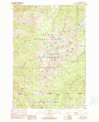 1990 He Devil1990 Print · USGSThe Seven Devils Mountains of Idaho are captured in the early nineties, showing a landscape defined by high peaks and remote wilderness management. Trace legacy sites like the Rankin Mill (Site) Mine Ruins and the Hibbs Cow Camp (Site) among alpine waters like Mirror Lake.2 unique versions available
 - 1990 Map of Squirrel Prairie
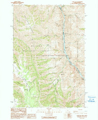
 1990 Squirrel Prairie1990 Print · USGSHells Canyon at the turn of the 1990s reveals a landscape of high-elevation prairies and dangerous whitewater along the Idaho border. Researchers can trace historic sites like Hibbs Ranch (Site) and navigate the river's path through Wild Sheep Rapids and Rocky Point Rapids.
 - 1990 Map of Lord Flat
 1990 Lord Flat1990 Print · USGSHells Canyon remained a primitive borderland in the early nineties, where the high ridges of Oregon overlook the Idaho line. Researchers can find isolated ranching outposts like Tryon Creek Ranch and Somers Ranch, alongside navigation points like Highrange Rapids on the Snake River.
 - 1990 Map of White Monument
 1990 White Monument1990 Print · USGSHells Canyon and the Snake River corridor are captured here at the start of the 1990s as the landscape transitions from industrial mining to wilderness recreation. Genealogists and historians can locate old mining operations like the South Peacock Mine and the former settlement at Helena (Site).
 - 1990 Map of Stanford
 1990 Stanford1990 Print · USGSLatah County at the start of the nineties reveals a landscape of high ridges and active resource extraction. Researchers can trace local industry and terrain from Stanford to the heights of Stanford Point, locating an Open Pit Mine and the Clay Pit among the Bear Creek headwaters.
 - 1990 Map of Cuprum
 1990 Cuprum1990 Print · USGSAdams County in the 1990s reveals a landscape of high-country mining camps and remote forest outposts along the Snake River. Genealogists and researchers can pinpoint former settlement locations at Landore (Site) and Decorah (Site) or trace the Copper Cliff Mine.
 - 1990 Map of Old Timer Mtn.
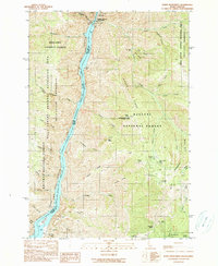
 1990 Old Timer Mtn.1990 Print · USGSThe Snake River canyon at the Idaho-Oregon border is mapped here in the late twentieth century, showing a remote landscape of rapids and high ridges. Researchers can locate riverside markers like Johnson Bar and Pine Bar, or trace backcountry routes like the High Line Trail.
 - 1990 Map of Cotton Thomas Basin
 1990 Cotton Thomas Basin1990 Print · USGSThe high borderlands of Idaho and Utah are captured in the late twentieth century, showing a landscape defined by old mining works and historic transit corridors. Researchers can locate the Emigrant Trail and trace the proximity of the Dolly Clark Mine and Skoro Mine.
 - 1990 Map of Pole Creek
 1990 Pole Creek1990 Print · USGSThe high desert border of Utah and Idaho is documented here in the early nineties, centered on the Goose Creek Mountains. Trace the historical path of the Emigrant Trail or locate the site of the Peg Leg Mine near Birch Creek.
 - 1990 Map of Green Knob
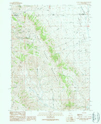
 1990 Green Knob1990 Print · USGSNorthwestern Idaho in the 1990s remained a landscape of high ridges and deep river canyons along the tribal border. Researchers can find family burial sites at Overacker Cem and Fix Ridge Cem or trace the Nez Perce Indian Reservation Boundary.
 - 1990 Map of Yost
 1990 Yost1990 Print · USGSHigh-country ranching and mining near the Idaho border come into focus in the 1990s. Trace old roads and family-named landmarks like Yost, Callahan Spring, and several adits nestled in the Raft River Mountains.
 - 1990 Map of Genesee
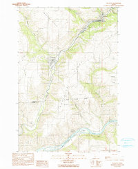
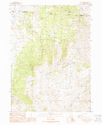
 1990 Genesee1990 Print · USGSGenesee and the surrounding Latah County highlands are documented here during the late twentieth century. Genealogists can locate several local burial sites like Genesee Valley Cem and St Marys Cem while tracing the path of Cow Creek.
 - 1990 Map of Butterfield Gulch
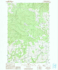
 1990 Butterfield Gulch1990 Print · USGSAdams County’s high backcountry in the Payette National Forest is captured here at the start of the 1990s. Researchers can trace old mountain industry and access points like the Barinaga Corrals (Site), the Lick Creek Lookout, and a remote Mine at Placer Basin.
 - 1990 Map of Kelton Pass
 1990 Kelton Pass1990 Print · USGSThe high desert borderlands of Box Elder County are captured here in the early nineties, tracing the historic Emigrant Trail through Kelton Pass. Genealogists and researchers can locate the Hardup (Site) and Duffy among essential water sources like Emigrant Spring.
 - 1990 Map of Harvard
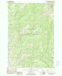
 1990 Harvard1990 Print · USGSThe Latah County timberlands and the upper Palouse River are captured in the late twentieth century, showing the small settlement of Harvard. Genealogists and historians can locate Woodfell Cem, trace old mining sites like Gold Hill Mine, and find recreation spots at Laird Park Campground.
 - 1990 Map of Standrod
 1990 Standrod1990 Print · USGSCrossing the Utah-Idaho border in the 1980s, this area reveals a high-country landscape of ranching and forestry. Researchers can trace resource history through an Open Pit Mine, the Standrod settlement, and numerous water sources like Fisher Lake.
 - 1990 Map of Rosevere Point
 1990 Rosevere Point1990 Print · USGSThe Sawtooth Mountains and the historic Emigrant Trail define this high-country landscape on the Idaho-Utah border in the 1990s. Trace the path of early travelers past Clear Creek Cemetery and the remote Clear Creek Recreation Site.
 - 1990 Map of Homestead
 1990 Homestead1990 Print · USGSThe Snake River frontier on the Oregon-Idaho border comes into focus in this late twentieth-century survey. Genealogists and local historians can locate the Homestead Cem, the settlement of Copper, and the workings at the Ironduke Mine.
Showing maps 1-25
Top cities of Idaho
- Boise historical maps
- Meridian historical maps
- Nampa historical maps
- Idaho Falls historical maps
- Caldwell historical maps
- Pocatello historical maps
See more
Top counties of Idaho
- Ada County historical maps
- Canyon County historical maps
- Kootenai County historical maps
- Bonneville County historical maps
- Bannock County historical maps
- Twin Falls County historical maps
See more
Frequently asked questions
- What are the different types of historical maps available for Idaho?
- What is the oldest map of Idaho?
- Where can I purchase historical maps of Idaho for my home or office?
- Where can I download high-res historical maps of Idaho?
- Are there historical topographic maps available for Idaho?
- Is there historical aerial imagery available for Idaho?
- Where are historical maps of Idaho sourced from?