2000s (21st Century) Maps of Boise County, Idaho
Explore 275 historic maps of Boise County from the 2000s (21st Century). These maps offer a rare glimpse into what life looked like during the 2000s — showing old roads, neighborhoods, homes, and landmarks that have changed or disappeared over time.
Whether you're researching your family's past, planning a metal detecting trip, or studying how Boise County's landscape evolved across the 2000s, these high-resolution maps are a powerful tool for exploring the history of this region.
- Focus on a specific era: All maps on this page are from the 2000s, giving you a focused view of this time period.
- See what’s changed: Compare century-old streets, trails, and buildings to today's modern landscape using overlays and satellite layers.
- Research with precision: Use these maps for genealogy, historical research, land use analysis, or educational projects.
- View, download, or print: Maps are fully viewable online in high resolution, and can be downloaded or printed for your own records.
Start exploring Boise County's history through authentic maps from the 2000s. This is your window into the past.
Boise County, ID maps
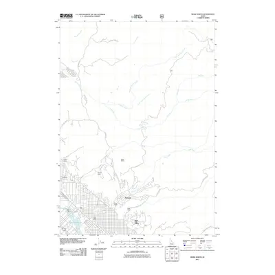
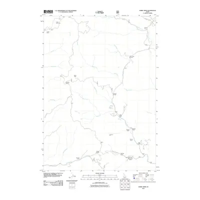
(275)- 2010 Map of Webb Creek, 2010 Print
 2010 Webb Creek2010 Print · USGSCovers Boise County, including Gem County, United States, and other nearby areas
 - 2010 Map of Montour, 2010 Print
 2010 Montour2010 Print · USGSCovers Boise County, including Sweet, Montour, and other nearby areas
 - 2010 Map of Pearl, 2010 Print
 2010 Pearl2010 Print · USGSCovers Boise County, including Eagle, Avimor, and other nearby areas
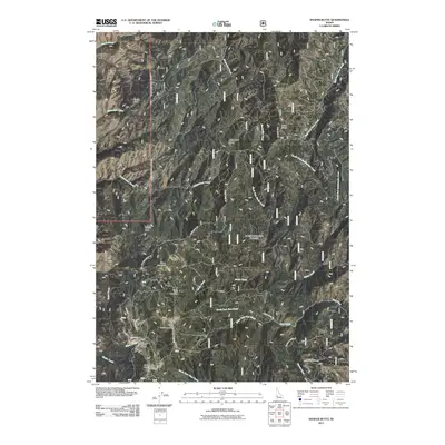
 - 2011 Map of Horseshoe Bend, 2011 Print
 2011 Horseshoe Bend2011 Print · USGSCovers Boise County, including Horseshoe Bend, Gardena, and other nearby areas
 - 2011 Map of Boise North, 2011 Print
 2011 Boise North2011 Print · USGSCovers Boise County, including Boise, Garden City, and other nearby areas
 - 2011 Map of Harris Creek Summit, 2011 Print
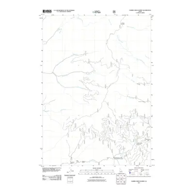 2011 Harris Creek Summit2011 Print · USGSCovers Boise County, including United States, Idaho, and other nearby areas
 - 2011 Map of Robie Creek, 2011 Print
 2011 Robie Creek2011 Print · USGSCovers Boise County, including Ada County, United States, and other nearby areas
 - 2011 Map of Shafer Butte, 2011 Print
 2011 Shafer Butte2011 Print · USGSCovers Boise County, including United States, Idaho, and other nearby areas
 - 2011 Map of Cartwright Canyon, 2011 Print
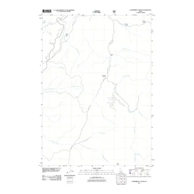 2011 Cartwright Canyon2011 Print · USGSCovers Boise County, including Avimor, Ada County, and other nearby areas
 - 2011 Map of Lucky Peak, 2011 Print
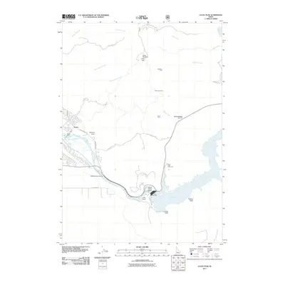 2011 Lucky Peak2011 Print · USGSCovers Boise County, including Boise, Ada County, and other nearby areas
 - 2011 Map of Warbonnet Peak, 2011 Print
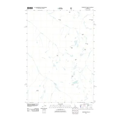 2011 Warbonnet Peak2011 Print · USGSCovers Boise County, including Custer County, United States, and other nearby areas
 - 2011 Map of Stanley Lake, 2011 Print
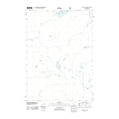 2011 Stanley Lake2011 Print · USGSCovers Boise County, including Custer County, United States, and other nearby areas
 - 2011 Map of Pine Flat, 2011 Print
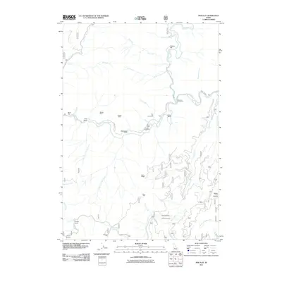 2011 Pine Flat2011 Print · USGSCovers Boise County, including United States, Idaho, and other nearby areas
 - 2011 Map of Eightmile Mountain, 2011 Print
 2011 Eightmile Mountain2011 Print · USGSCovers Boise County, including United States, Idaho, and other nearby areas
 - 2011 Map of Bull Trout Point, 2011 Print
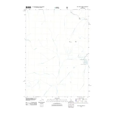 2011 Bull Trout Point2011 Print · USGSCovers Boise County, including Valley County, Custer County, and other nearby areas
 - 2011 Map of Lightning Ridge, 2011 Print
 2011 Lightning Ridge2011 Print · USGSCovers Boise County, including Valley County, United States, and other nearby areas
 - 2011 Map of Garden Valley, 2011 Print
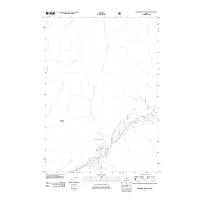
 2011 Garden Valley2011 Print · USGSCovers Boise County, including Crouch, Garden Valley, and other nearby areas
 - 2011 Map of Miller Mountain East, 2011 Print
 2011 Miller Mountain East2011 Print · USGSCovers Boise County, including Valley County, United States, and other nearby areas
 - 2011 Map of Tyee Mountain, 2011 Print
 2011 Tyee Mountain2011 Print · USGSCovers Boise County, including United States, Idaho, and other nearby areas
 - 2011 Map of Edaho Mountain, 2011 Print
 2011 Edaho Mountain2011 Print · USGSCovers Boise County, including Elmore County, United States, and other nearby areas
 - 2011 Map of Cache Creek, 2011 Print
 2011 Cache Creek2011 Print · USGSCovers Boise County, including Valley County, United States, and other nearby areas
 - 2011 Map of Mount Cramer, 2011 Print
 2011 Mount Cramer2011 Print · USGSCovers Boise County, including Custer County, United States, and other nearby areas
 - 2011 Map of Grandjean, 2011 Print
 2011 Grandjean2011 Print · USGSCovers Boise County, including Grandjean, Custer County, and other nearby areas
 - 2011 Map of Grimes Pass, 2011 Print
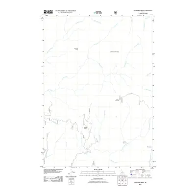
 2011 Grimes Pass2011 Print · USGSCovers Boise County, including United States, Idaho, and other nearby areas
 - 2011 Map of Jackson Peak, 2011 Print
 2011 Jackson Peak2011 Print · USGSCovers Boise County, including United States, Idaho, and other nearby areas
Showing maps 1-25 of 275
Top cities of Boise County
- Robie Creek historical maps
- Horseshoe Bend historical maps
- Idaho City historical maps
- Crouch historical maps
- Placerville historical maps
Frequently asked questions
- What are the different types of historical maps available for Boise County?
- What is the oldest map of Boise County?
- Where can I purchase historical maps of Boise County for my home or office?
- Where can I download high-res historical maps of Boise County?
- Are there historical topographic maps available for Boise County?
- Is there historical aerial imagery available for Boise County?
- Where are historical maps of Boise County sourced from?