2020s Maps of Boise County, Idaho
Explore 113 historic maps of Boise County from the 2020s. These maps offer a rare glimpse into what life looked like during the 2020s — showing old roads, neighborhoods, homes, and landmarks that have changed or disappeared over time.
Whether you're researching your family's past, planning a metal detecting trip, or studying how Boise County's landscape evolved across the 2020s, these high-resolution maps are a powerful tool for exploring the history of this region.
- Focus on a specific era: All maps on this page are from the 2020s, giving you a focused view of this time period.
- See what’s changed: Compare century-old streets, trails, and buildings to today's modern landscape using overlays and satellite layers.
- Research with precision: Use these maps for genealogy, historical research, land use analysis, or educational projects.
- View, download, or print: Maps are fully viewable online in high resolution, and can be downloaded or printed for your own records.
Start exploring Boise County's history through authentic maps from the 2020s. This is your window into the past.
Boise County, ID maps
(113)- 2020 Map of Placerville, 2020 Print
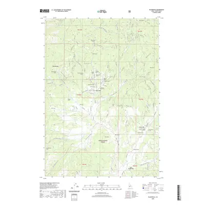 2020 Placerville2020 Print · USGSBoise County mining history is etched into this mountain landscape as it appeared in the modern era. Genealogists and researchers can trace the old settlements of Placerville, Centerville, and Quartzburg, alongside evocative sites like Slab Cabin Gulch and Huckleberry Flat.
 - 2020 Map of Arrowrock Reservoir NE, 2020 Print
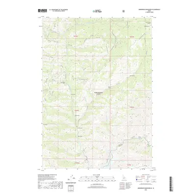 2020 Arrowrock Reservoir NE2020 Print · USGSElmore County's high mountain territory is captured here in the contemporary era, centered on the Boise National Forest. Researchers can trace old mountain routes like Atlanta Road and locate geographical landmarks including Mt Heinen and Thorn Creek Butte.
 - 2020 Map of Bear River, 2020 Print
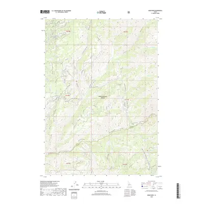 2020 Bear River2020 Print · USGSElmore County's backcountry is documented in the modern era as a rugged convergence of the Bear River and North Fork Boise River. You can trace the complex network of mountain spurs and remote landmarks like Grand Mountain, Jennie Lake, and Swanholm Ridge.
 - 2020 Map of Nahneke Mountain, 2020 Print
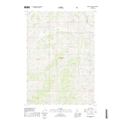 2020 Nahneke Mountain2020 Print · USGSElmore County's high wilderness is surveyed in this contemporary record of the Sawtooth range area. Researchers can trace the complex alpine hydrology from Rock Island Lake to the drainage of the Little Queens River and Black Warrior Cr.
 - 2020 Map of Barber Flat, 2020 Print
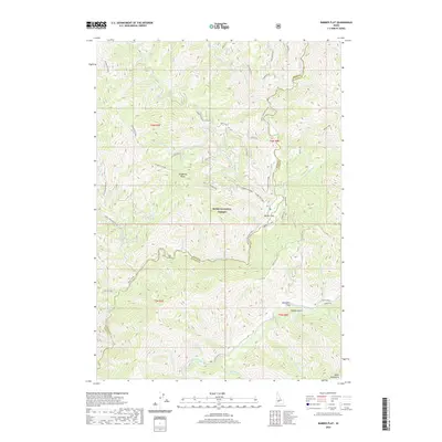 2020 Barber Flat2020 Print · USGSElmore County’s mountain interior is shown here in the recent past, centered on the junction of the north and middle forks of the Boise River. Trace old riverfront sites like Alexander Flats and Barber Flat along the historic Atlanta Road.
 - 2020 Map of Horseshoe Bend, 2020 Print
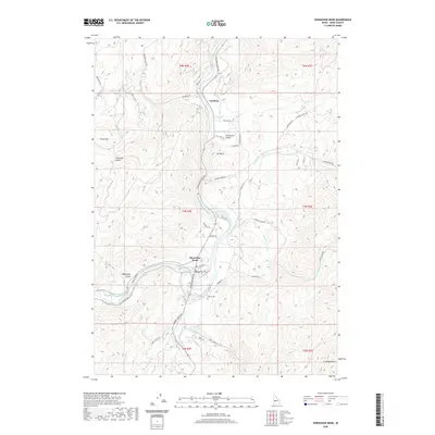 2020 Horseshoe Bend2020 Print · USGSThe Boise County landscape comes alive in this 2020 record of the Payette River canyon and the town of Horseshoe Bend. Researchers can trace old family sites and rural infrastructure through landmarks like the Pioneer Cem, Jerusalem Valley, and the Power Canal.
 - 2020 Map of Pearl, 2020 Print
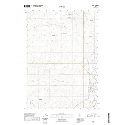 2020 Pearl2020 Print · USGSThe foothills north of Boise and Eagle are captured here in the contemporary era at the meeting of three counties. Local historians can trace the development of Pearl and Spring Valley, or find specific recreational landmarks like the Bovine Nirvana Shooting Range and Sands Airport.
 - 2020 Map of Warm Springs Point, 2020 Print
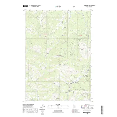 2020 Warm Springs Point2020 Print · USGSBoise County's forested interior is documented here in the early twenty-first century, showing the complex watershed of the Boise Basin. Local historians can trace historic land use through features like Milk Ranch Gulch, Stierman Gulch, and the Ponderosa Pine Scenic Route.
 - 2020 Map of Robie Creek, 2020 Print
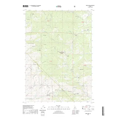 2020 Robie Creek2020 Print · USGSThe foothills of the Boise Front are seen here in recent detail, where the Boise National Forest meets the growing community of Robie Creek. Trace local landmarks like the Harrington Airport, Karnell Lakes, and the winding Watchman Trail.
 - 2020 Map of Harris Creek Summit, 2020 Print
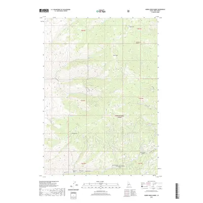 2020 Harris Creek Summit2020 Print · USGSBoise County's high ridges and deep gulches are documented here in the early twenty-first century within the Boise National Forest. Researchers can trace the paths of Porter Creek Rd through Crumley Gulch and find family-named landmarks like Hawley Mtn.
 - 2020 Map of Cartwright Canyon, 2020 Print
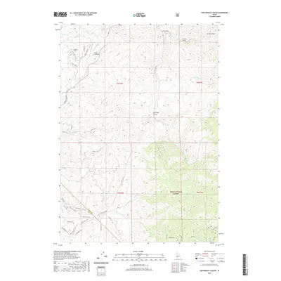 2020 Cartwright Canyon2020 Print · USGSThe foothills north of Boise are shown here during their modern transition into a recreation and residential corridor. Trace the connections between Loomis Airport and the high ridges of the Boise National Forest via Stack Rock and Shafer Cr.
 - 2020 Map of Boise North, 2020 Print
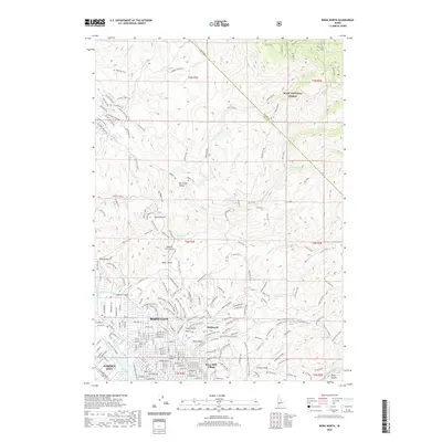 2020 Boise North2020 Print · USGSThe foothills north of Idaho’s capital are shown here in modern detail, where the city meets the Boise National Forest. Researchers can trace the paths of the Boise City Canal or explore the extensive trail networks around Bogus Basin and Hulls Gulch.
 - 2020 Map of Montour, 2020 Print
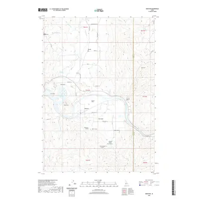 2020 Montour2020 Print · USGSThe river-driven landscape of Gem and Boise counties is shown here as it appeared in the early twenty-first century. Researchers can trace local landmarks like Sweet Cem, the geothermal Roystone Hot Springs, and the waters of Black Canyon Reservoir.
 - 2020 Map of Shafer Butte, 2020 Print
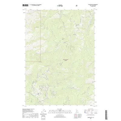 2020 Shafer Butte2020 Print · USGSShafer Butte and the Boise Ridge are shown in high detail at the start of the 2020s, documenting the extensive recreational landscape of the Boise National Forest. Researchers can trace the layout of Bogus Basin and local landmarks like Mores Mountain and Sugarloaf Rock.
 - 2020 Map of Twin Springs, 2020 Print
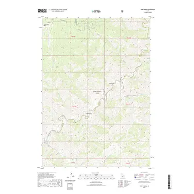 2020 Twin Springs2020 Print · USGSElmore County's mountain wilderness is captured here in the contemporary era, centered on the North Fork Boise River canyon. Researchers can trace the path of the Atlanta Road past Twin Springs, Hot Springs, and high points like Bald Mtn.
 - 2020 Map of Dunnigan Creek, 2020 Print
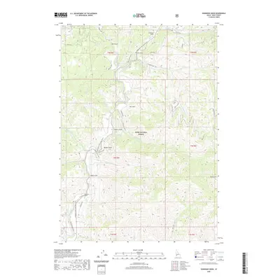 2020 Dunnigan Creek2020 Print · USGSBoise County in the late twenty-tens is defined by the steep drainages and winding corridors of the Boise National Forest. Researchers can trace old routes like the Ponderosa Pine Scenic Route or locate landmarks such as Robbers Gulch and Mt Heinen.
 - 2020 Map of Rabbit Creek Summit, 2020 Print
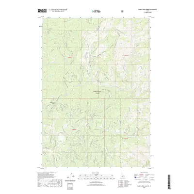 2020 Rabbit Creek Summit2020 Print · USGSElmore and Boise counties are captured here in the late twenty-teens, showing the complex road and trail networks within the Boise National Forest. Researchers can trace the winding Rabbit Switchbacks or locate specific landmarks like Rabbit Creek Summit and the German Rabbit Overlook.
 - 2020 Map of Lucky Peak, 2020 Print
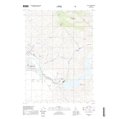 2020 Lucky Peak2020 Print · USGSThe eastern edges of Boise meet the rising high desert and national forest at a time of modern growth and preserved heritage. You can trace the historic route of the Oregon Trail as it crosses the valley near the New York Canal and the recreation-rich shores of Lucky Peak Lake.
 - 2020 Map of Scott Creek, 2020 Print
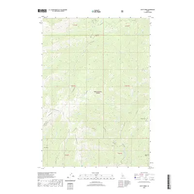 2020 Scott Creek2020 Print · USGSThe Boise National Forest backcountry in recent years reveals a landscape of high-altitude lookouts and remote river canyons. Researchers can trace the drainage of the Deadwood River and locate historic high points like Scott Mountain Lookout and Stevens Point.
 - 2020 Map of Grimes Pass, 2020 Print
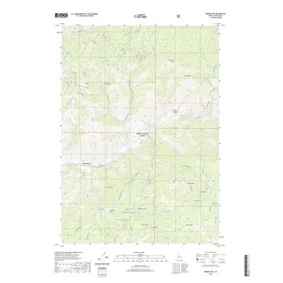 2020 Grimes Pass2020 Print · USGSBoise County's mountain passes and river canyons are documented here in the 2020s, showcasing the intersection of the Boise National Forest and historic local landmarks. Researchers can trace the drainages of Schoolhouse Cr and Grimes Cr or locate family-named features like Gallagher Pasture and Charlotte Gulch.
 - 2020 Map of Jackson Peak, 2020 Print
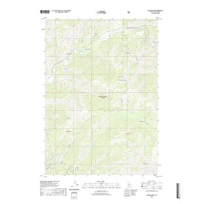 2020 Jackson Peak2020 Print · USGSBoise County's high country is documented here in the 2020s, showing the intersection of the South Fork Payette River and the high Boise National Forest. Map collectors and hikers can trace routes to Jackson Peak, Jennie Lake, and across the prominent Ten Mile Ridge.
 - 2020 Map of Lightning Ridge, 2020 Print
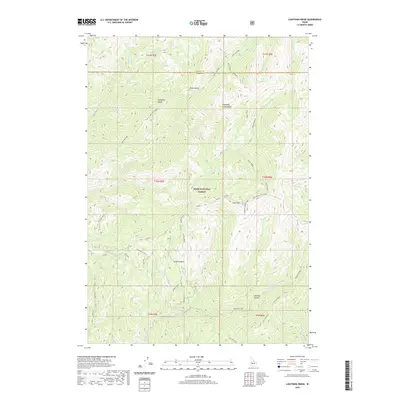 2020 Lightning Ridge2020 Print · USGSValley and Boise Counties are documented here as they appeared recently, focused on the high ridgelines of the Boise National Forest. Researchers can locate remote landmarks like the Scott Mountain Lookout, Onion Valley, and Granite Basin.
 - 2020 Map of Grandjean, 2020 Print
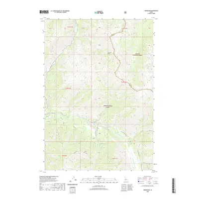 2020 Grandjean2020 Print · USGSGrandjean and the surrounding river valleys are captured here in the contemporary era at the edge of the Sawtooths. Researchers and hikers can trace the South Fork Payette River past Sacajawea Hot Springs and the settlement of Grand Jean.
 - 2020 Map of High Valley, 2020 Print
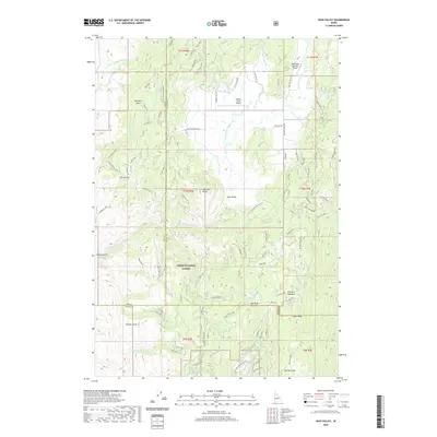 2020 High Valley2020 Print · USGSHigh Valley remains a secluded mountain enclave in Gem County during this modern survey. Researchers can trace the drainage patterns of Kennedy Cr and explore the remote layout of the High Valley settlement in the Idaho highlands.
 - 2020 Map of Packer John Mountain, 2020 Print
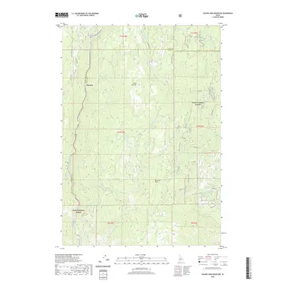 2020 Packer John Mountain2020 Print · USGSThe high timberlands of the Boise National Forest come alive in this recent survey of the Valley and Boise County line. Local historians can trace backcountry routes like Packer John Road and locate the settlement of Big Eddy along the North Fork Payette River.
Showing maps 1-25 of 113
Top cities of Boise County
- Robie Creek historical maps
- Horseshoe Bend historical maps
- Idaho City historical maps
- Crouch historical maps
- Placerville historical maps
Frequently asked questions
- What are the different types of historical maps available for Boise County?
- What is the oldest map of Boise County?
- Where can I purchase historical maps of Boise County for my home or office?
- Where can I download high-res historical maps of Boise County?
- Are there historical topographic maps available for Boise County?
- Is there historical aerial imagery available for Boise County?
- Where are historical maps of Boise County sourced from?