2010s Maps of Boise County, Idaho
Explore 162 historic maps of Boise County from the 2010s. These maps offer a rare glimpse into what life looked like during the 2010s — showing old roads, neighborhoods, homes, and landmarks that have changed or disappeared over time.
Whether you're researching your family's past, planning a metal detecting trip, or studying how Boise County's landscape evolved across the 2010s, these high-resolution maps are a powerful tool for exploring the history of this region.
- Focus on a specific era: All maps on this page are from the 2010s, giving you a focused view of this time period.
- See what’s changed: Compare century-old streets, trails, and buildings to today's modern landscape using overlays and satellite layers.
- Research with precision: Use these maps for genealogy, historical research, land use analysis, or educational projects.
- View, download, or print: Maps are fully viewable online in high resolution, and can be downloaded or printed for your own records.
Start exploring Boise County's history through authentic maps from the 2010s. This is your window into the past.
Boise County, ID maps
(162)- 2010 Map of Webb Creek, 2010 Print
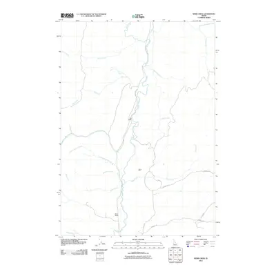 2010 Webb Creek2010 Print · USGSGem County at the turn of the decade is defined by its deep drainages and rural mining history. Genealogists and historians can trace local development along Squaw Creek or locate landmarks like Liberty Mine and Ola Valley.
 - 2010 Map of Montour, 2010 Print
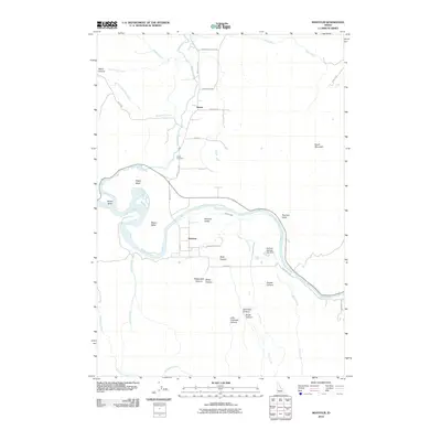 2010 Montour2010 Print · USGSThe Payette River valley in Gem County is captured here in the early twenty-first century, showing the rural settlements of Sweet and Montour. Researchers can trace local landmarks like Sweet Cemetery, the Gatfield Number Two Dam, and the geographic profile of Regan Butte.
 - 2010 Map of Pearl, 2010 Print
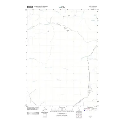 2010 Pearl2010 Print · USGSThe Boise Basin foothills north of Eagle are shown here in the early 21st century as modern development meets a storied mining past. Researchers can trace the layout of historic lode claims including Gem State Mine, Monroe Mine, and the settlement at Pearl.
 - 2011 Map of Horseshoe Bend, 2011 Print
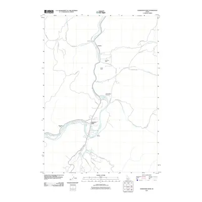 2011 Horseshoe Bend2011 Print · USGSHorseshoe Bend and the Boise County highlands appear in this modern era survey as the region's river-fed geography continues to shape local life. Genealogists and researchers can locate Pioneer Cemetery, the settlement of Gardena, and the winding Payette River canyon.
 - 2011 Map of Boise North, 2011 Print
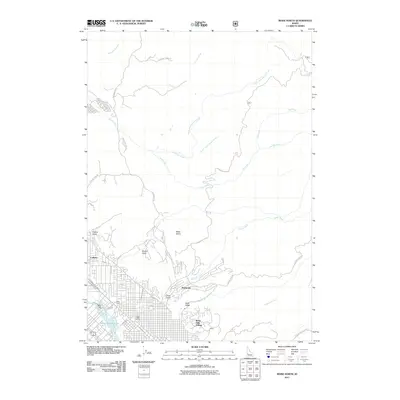 2011 Boise North2011 Print · USGSBoise's northern suburban reach meets the steep foothills during the early twenty-first century. Researchers can trace the path of historic irrigation via the Boise City Canal, locate the West State school, and explore the gulches near Collister.
 - 2011 Map of Harris Creek Summit, 2011 Print
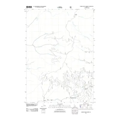 2011 Harris Creek Summit2011 Print · USGSBoise County mining and mountain terrain are documented here in the early twenty-first century. Mineral seekers and hikers can trace the paths to the Belshazzar Mine, the Mountain Chief Mine, and the high reaches of Hawley Mountain.
 - 2011 Map of Robie Creek, 2011 Print
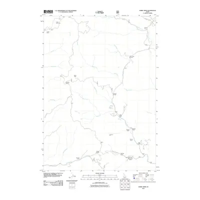 2011 Robie Creek2011 Print · USGSHigh ridges and deep gulches in Ada County are captured here at the start of the 2010s. Researchers can trace historic mountain routes like 8th St Rd or locate the Bumblebee Mine and family landmarks such as Davidson Ranch.
 - 2011 Map of Shafer Butte, 2011 Print
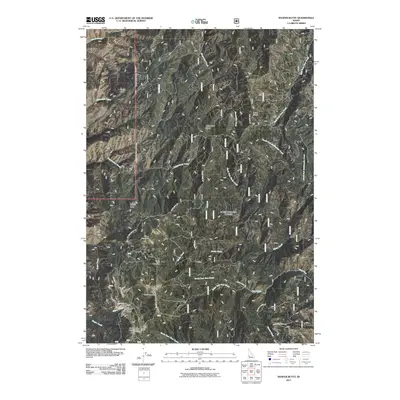 2011 Shafer Butte2011 Print · USGSBoise County's mountain recreation and forest terrain are documented here in the early 2000s. Researchers can locate specific geological landmarks like Castle Rock and the extensive facilities of the Bogus Basin Winter Sports Area.
 - 2011 Map of Cartwright Canyon, 2011 Print
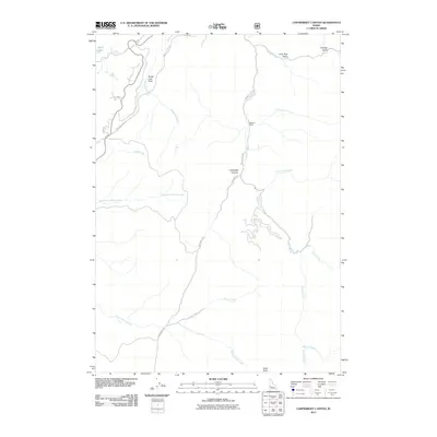 2011 Cartwright Canyon2011 Print · USGSThe foothills north of Boise are shown here in the early twenty-first century as a landscape of working ranches and geological landmarks. You can trace the drainage patterns of Shafer Creek and Cartwright Canyon, or locate family-named sites like Dobson Ranch.
 - 2011 Map of Lucky Peak, 2011 Print
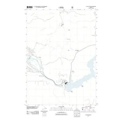 2011 Lucky Peak2011 Print · USGSThe Boise River corridor and the foothills of the Boise Front are shown here at the start of the 2010s. Researchers can locate legacy industrial sites like the Adelmann Mine or trace the vital irrigation paths of the New York Canal and Penitentiary Canal.
 - 2011 Map of Warbonnet Peak, 2011 Print
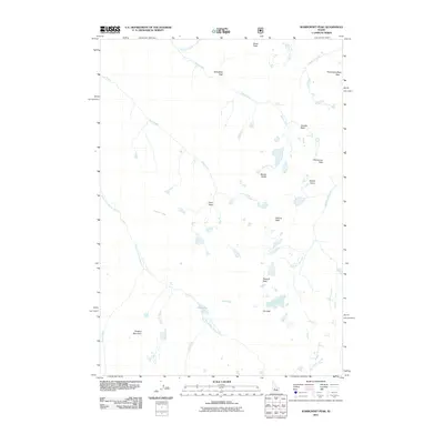 2011 Warbonnet Peak2011 Print · USGSHigh in the Boise County wilderness during the early twenty-first century, this landscape remains a pristine environment of alpine summits and glacial waters. Researchers can trace the drainage of the South Fork Payette River and locate remote landmarks like Warbonnet Peak and Baron Creek Falls.
 - 2011 Map of Stanley Lake, 2011 Print
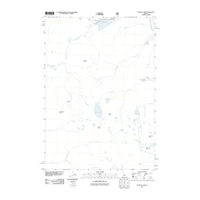 2011 Stanley Lake2011 Print · USGSThe Sawtooth wilderness in the early 2000s is revealed here through its network of alpine lakes and early mining history. Researchers can locate the Greenback Mine or trace routes to backcountry waters like Sawtooth Lake, Goat Lake, and Hanson Lakes.
 - 2011 Map of Pine Flat, 2011 Print
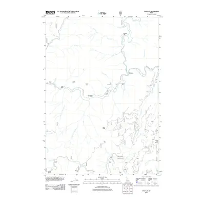 2011 Pine Flat2011 Print · USGSBoise County's river-cut mountains are documented here in 2011, showing the convergence of the South Fork Payette River and the Deadwood River. Modern explorers can trace historic mining activity at the Sloper Mine or locate the therapeutic waters of Pine Flat Hot Springs.
 - 2011 Map of Eightmile Mountain, 2011 Print
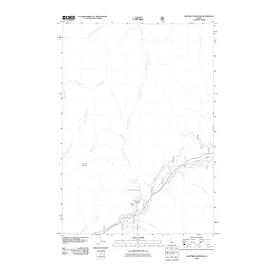 2011 Eightmile Mountain2011 Print · USGSBoise County's rugged backcountry is documented here during the early 2000s, centered on the confluence of mountain streams and the river valley. You can trace remote landmarks like the Warm Springs Creek Airport, Bonneville Hot Springs, and Eightmile Mountain.
 - 2011 Map of Bull Trout Point, 2011 Print
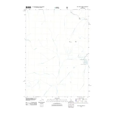 2011 Bull Trout Point2011 Print · USGSValley County’s high backcountry is documented here during a period of modern forest management and recreation. Outdoor enthusiasts and researchers can trace the roads to Bull Trout Lake Campground or follow the waters of Warm Spring Creek and Dead Man Creek.
 - 2011 Map of Lightning Ridge, 2011 Print
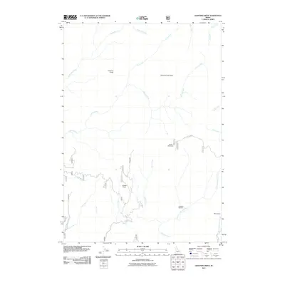 2011 Lightning Ridge2011 Print · USGSValley County is shown in this early twenty-first-century survey of the Boise National Forest backcountry. Topographic researchers and hikers can trace the winding paths of Big Bulldog Creek and the steep elevation of Scott Mountain.
 - 2011 Map of Garden Valley, 2011 Print
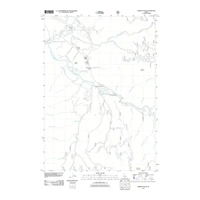 2011 Garden Valley2011 Print · USGSCrouch and Garden Valley are shown at the confluence of the Payette River forks during the early twenty-first century. Genealogists and local historians can locate the Garden Valley Pioneer Cemetery and trace names like Schoolhouse Gulch and Hot Springs Campground.
 - 2011 Map of Miller Mountain East, 2011 Print
 2011 Miller Mountain East2011 Print · USGSValley County, Idaho, is shown in the early twenty-first century as a land of high peaks and interconnected headwaters. Trace the forest road networks such as Bear Valley Rd through the drainage basins of Eightmile Creek and Monument Creek.
 - 2011 Map of Tyee Mountain, 2011 Print
 2011 Tyee Mountain2011 Print · USGSThe Boise National Forest backcountry in the early twenty-first century is defined by its massive ridge systems and critical river headwaters. Trace the routes of Nat For Dev Rd 312 as it winds near Tyee Mountain and crosses the Crooked River.
 - 2011 Map of Edaho Mountain, 2011 Print
 2011 Edaho Mountain2011 Print · USGSElmore County high country is shown in detail during the early twenty-first century, documenting the remote headwaters of the Boise and Payette rivers. Researchers can locate the isolated Deadman Cabin or trace the drainage paths of Wapiti Creek and McLeod Creek.
 - 2011 Map of Cache Creek, 2011 Print
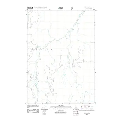 2011 Cache Creek2011 Print · USGSValley County high country is shown here in the early twenty-first century, featuring a remote landscape of meadow systems and mountain creeks. You can trace the trails and forest roads leading to backcountry landmarks like the Transfer Cabin, Sack Creek Campground, and Lost Lake.
 - 2011 Map of Mount Cramer, 2011 Print
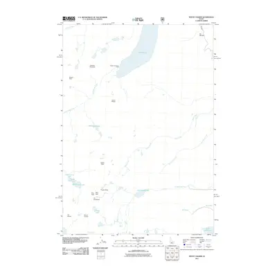 2011 Mount Cramer2011 Print · USGSThe high Sawtooth wilderness of Boise County appears in high detail during the early twenty-first century, showcasing a landscape of dramatic peaks and alpine waters. Researchers can trace the drainages of Hell Roaring Lake and Decker Creek or locate landmarks like The Temple and Redfish Inlet Transfer Camp.
 - 2011 Map of Grandjean, 2011 Print
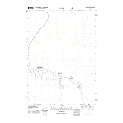 2011 Grandjean2011 Print · USGSGrandjean and the upper reaches of the Payette River are documented here in the early twenty-first century. Researchers can locate seasonal landmarks and recreational sites like the Sawtooth Lodge, Sacajawea Hot Springs, and the Grandjean Campground.
 - 2011 Map of Grimes Pass, 2011 Print
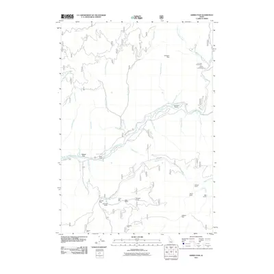 2011 Grimes Pass2011 Print · USGSBoise County's mountain terrain is captured in this early twenty-first-century survey, centered on the high divide at Grimes Pass. Researchers can trace the legacy of local extraction at the Golden Age Mine and Missouri Mine, or locate family landmarks like Gallagher Peak.
 - 2011 Map of Jackson Peak, 2011 Print
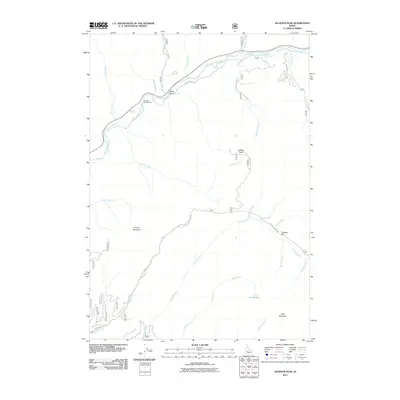 2011 Jackson Peak2011 Print · USGSBoise County's high-country terrain is captured here in the early 2000s, showing a landscape defined by prominent summits and deep river drainages. Map enthusiasts can trace the paths to Jackson Peak and locate landmarks like Helende Campground and Jennie Lake.
Showing maps 1-25 of 162
Top cities of Boise County
- Robie Creek historical maps
- Horseshoe Bend historical maps
- Idaho City historical maps
- Crouch historical maps
- Placerville historical maps
Frequently asked questions
- What are the different types of historical maps available for Boise County?
- What is the oldest map of Boise County?
- Where can I purchase historical maps of Boise County for my home or office?
- Where can I download high-res historical maps of Boise County?
- Are there historical topographic maps available for Boise County?
- Is there historical aerial imagery available for Boise County?
- Where are historical maps of Boise County sourced from?