2010s Maps of Camas County, Idaho
Explore 96 historic maps of Camas County from the 2010s. These maps offer a rare glimpse into what life looked like during the 2010s — showing old roads, neighborhoods, homes, and landmarks that have changed or disappeared over time.
Whether you're researching your family's past, planning a metal detecting trip, or studying how Camas County's landscape evolved across the 2010s, these high-resolution maps are a powerful tool for exploring the history of this region.
- Focus on a specific era: All maps on this page are from the 2010s, giving you a focused view of this time period.
- See what’s changed: Compare century-old streets, trails, and buildings to today's modern landscape using overlays and satellite layers.
- Research with precision: Use these maps for genealogy, historical research, land use analysis, or educational projects.
- View, download, or print: Maps are fully viewable online in high resolution, and can be downloaded or printed for your own records.
Start exploring Camas County's history through authentic maps from the 2010s. This is your window into the past.
Camas County, ID maps
(96)- 2010 Map of Magic Reservoir West, 2010 Print
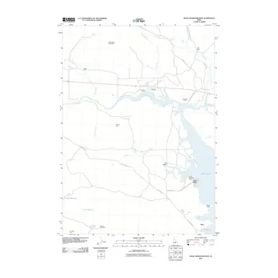 2010 Magic Reservoir West2010 Print · USGSThe high desert landscape north of the Snake River Plain comes alive in this 2010 Idaho survey. You can trace the ranching and recreation history of the region through landmarks like Rowley Ranch, the Magic Resort, and Moonstone Landing.
 - 2010 Map of Summit Reservoir, 2010 Print
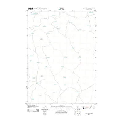 2010 Summit Reservoir2010 Print · USGSLincoln County in the early twenty-first century reveals a landscape shaped by water management and desert ranching. Researchers can trace the network of seasonal catchments and landmarks like Magic Reservoir, Black Butte, and One Hour Reservoir.
 - 2010 Map of Thorn Creek Reservoir, 2010 Print
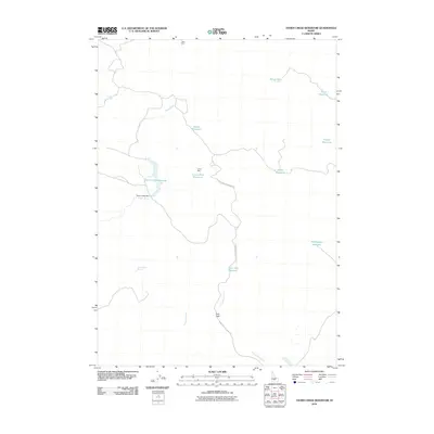 2010 Thorn Creek Reservoir2010 Print · USGSGooding County's high-desert ranching landscape is meticulously detailed here in the years following the millennium. Genealogists and researchers can trace vital water sources and landmarks like Thorn Creek Reservoir, Twin Oaks, and Pole Corral.
 - 2010 Map of Dempsey Meadows, 2010 Print
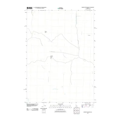 2010 Dempsey Meadows2010 Print · USGSElmore County's high-elevation ranching and grazing lands are detailed here during the late two-thousands. Researchers can trace the drainages of East Dempsey Creek and find specific landmarks like Tub Spring and the open stretch of Dead Horse Flat.
 - 2010 Map of McHan Reservoir, 2010 Print
 2010 McHan Reservoir2010 Print · USGSGooding County ranch lands and water systems are captured here in the early twenty-first century. Researchers can trace the water infrastructure and road networks around McHan Reservoir, Fir Grove Ranch, and City Of Rocks Rd.
 - 2010 Map of Spring Creek Reservoir, 2010 Print
 2010 Spring Creek Reservoir2010 Print · USGSCamas County ranching and water management are the focus of this Idaho survey from the early twenty-first century. Researchers can trace local lineage at the Manard Cemetery or follow the water from Neilsen Reservoir to the Spring Creek Reservoir.
 - 2010 Map of Macon, 2010 Print
 2010 Macon2010 Print · USGSBlaine County ranching country is captured here in the early twenty-first century, showcasing a landscape of high-desert creeks and rural crossings. Genealogists and historians can trace local landmarks like Macon, the Blaine Bridge, and the Macon Sheep Bridge.
 - 2010 Map of Fir Grove Mountain, 2010 Print
 2010 Fir Grove Mountain2010 Print · USGSGooding County's high-elevation rangeland is shown in detail during the early 21st century, centered on the prominent Fir Grove Mountain. Researchers can trace old water rights and livestock trails through sites like Fir Grove Ranch, Cow Heaven Spring, and the City of Rocks.
 - 2010 Map of Shoshone Ice Cave, 2010 Print
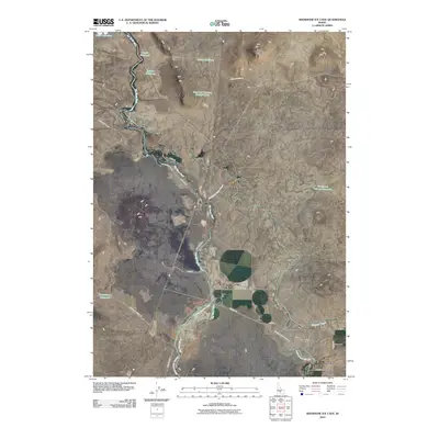 2010 Shoshone Ice Cave2010 Print · USGSIdaho's high desert landscape comes into focus during the early twenty-first century, showing the critical intersection of water management and geography. Trace the path of the Big Wood River alongside the settlement of Burmah and the Richfield Main Canal.
 - 2010 Map of Corral, 2010 Print
 2010 Corral2010 Print · USGSCamas County ranching lands and the Camas Prairie are captured here as they appeared in 2010. Genealogists and historians can trace family-named landmarks like Johnson Hill and small local hubs such as Corral and Punkin Corner.
 - 2010 Map of Davis Mountain, 2010 Print
 2010 Davis Mountain2010 Print · USGSIn the high desert of Gooding County during the early 2000s, this area shows a landscape shaped by ranching and vital water sources. Researchers can locate the seasonal Dean Camp and trace the many natural springs like Hobby Spring and Erma Spring that dot the terrain around Davis Mountain.
 - 2010 Map of Fairfield, 2010 Print
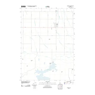 2010 Fairfield2010 Print · USGSThe Camas Prairie and the town of Fairfield are captured here in 2010, showing the high-desert agricultural and water-management systems of the era. Researchers can trace the layout of Fairfield and Soldier while exploring the namesake Mormon Reservoir and nearby Lookout Point.
 - 2010 Map of Magic Reservoir East, 2010 Print
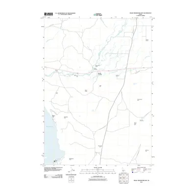 2010 Magic Reservoir East2010 Print · USGSBlaine County's river-fed valley and high desert flats are captured here at the start of the 2010s. Genealogists and historians can locate the Timmerman Cemetery, trace the path to the Uhrig Mine, or find the small settlement at Magic City near the Magic Dam.
 - 2011 Map of Newman Peak, 2011 Print
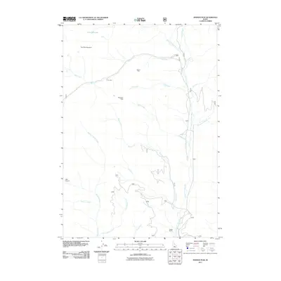 2011 Newman Peak2011 Print · USGSCamas County, Idaho, is depicted here in the early twenty-first century as a landscape defined by high peaks and historic mining claims. Researchers and explorers can trace the remote reaches of the South Fork Boise River and locate the Axolotl Mine, Old Sam Mine, and El Oro Mine.
 - 2011 Map of Beaver Creek, 2011 Print
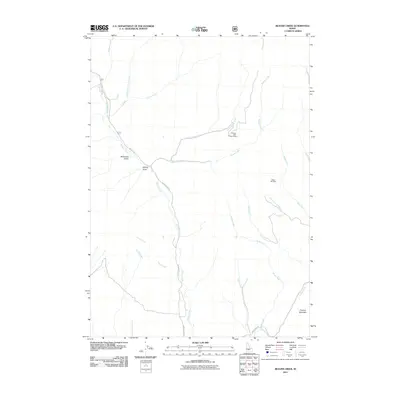 2011 Beaver Creek2011 Print · USGSBlaine County mining and mountain drainage are the focus of this early 21st-century survey of the Idaho high country. Researchers can trace remote mining sites like the Princess Blue Ribbon Mine and Happy Day Mine or follow the routes through McDonald Gulch.
 - 2011 Map of Galena, 2011 Print
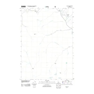 2011 Galena2011 Print · USGSBlaine County's high-mountain passes and early settlements are captured here in the early twenty-first century. Researchers can locate the Galena Pioneer Cemetery and trace the drainage of the Big Wood River past Galena Summit and Bromaghin Peak.
 - 2011 Map of Boardman Creek, 2011 Print
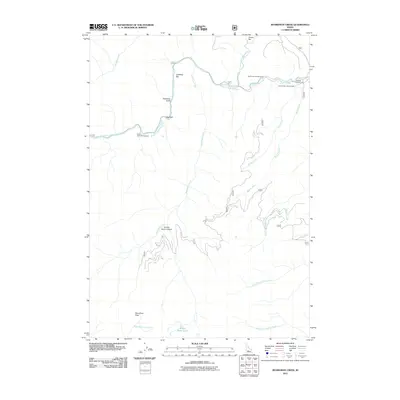 2011 Boardman Creek2011 Print · USGSCamas County's mountain wilderness is captured here in the early twenty-first century, showing a landscape defined by forest service outposts and river canyons. Modern researchers can locate high-country landmarks like Boardman Pass and the Little Smokey Patrol Cabin.
 - 2011 Map of Buttercup Mountain, 2011 Print
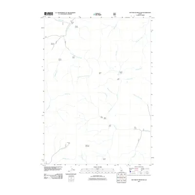 2011 Buttercup Mountain2011 Print · USGSBlaine County, Idaho, is shown at the start of the 2010s in this detailed look at a high-elevation mining and forest landscape. Mineral hunters and researchers can trace the location of the Buttercup Mine and topographic features like Placer Flat and Bear Gulch.
 - 2011 Map of Phillips Creek, 2011 Print
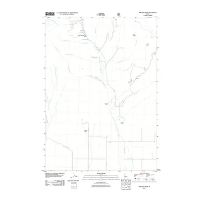 2011 Phillips Creek2011 Print · USGSCamas County is documented here in the early twenty-first century as a landscape of mountain recreation and mineral history. Researchers can locate the Richard Allen Mine, trace family ties at Mountain View Cemetery, or explore the area around Soldier Mountain Ski Area.
 - 2011 Map of Cannonball Mountain, 2011 Print
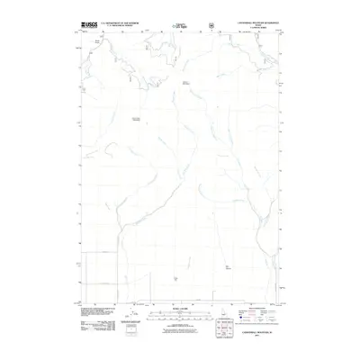 2011 Cannonball Mountain2011 Print · USGSCamas County is shown during a period of modern land management, where remote peaks meet the rural road network of southern Idaho. Researchers can trace the drainages of Hot Spring Creek and Minnehaha Creek or locate landmarks like Cannonball Mountain and Cline Hill.
 - 2011 Map of Marshall Peak, 2011 Print
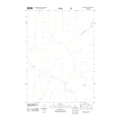 2011 Marshall Peak2011 Print · USGSElmore County's high-country drainages are charted here in the early twenty-first century. Researchers can trace the paths of mountain waterways like the South Fork Boise River and locate historic industrial sites such as the Silver King Mine.
 - 2011 Map of Paradise Peak, 2011 Print
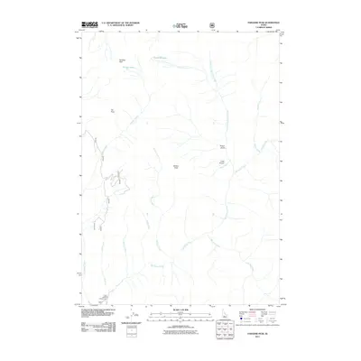 2011 Paradise Peak2011 Print · USGSCamas County's high-country drainages are meticulously documented in this early twenty-first-century survey of the Sawtooth wilderness. Researchers can trace the source of Big Smoky Creek or locate landmarks like Paradise Peak and the Canyon Campground.
 - 2011 Map of Baker Peak, 2011 Print
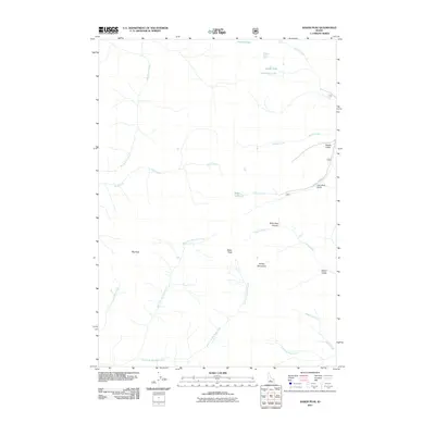 2011 Baker Peak2011 Print · USGSThe high Idaho backcountry of the Smoky Mountains is captured here at the start of the 2010s. Modern researchers can trace the rugged drainages of Big Smoky Creek or locate high-altitude landmarks like Baker Peak and the remote Prairie Lakes.
 - 2011 Map of Frenchman Creek, 2011 Print
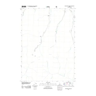 2011 Frenchman Creek2011 Print · USGSBlaine County's high-country mining districts are captured here in the early twenty-first century, centered on the settlement of Vienna. Genealogists and historians can locate specific operations like the Webfoot Mine and Vienna Mine along the banks of Smiley Creek.
 - 2011 Map of Dollarhide Mountain, 2011 Print
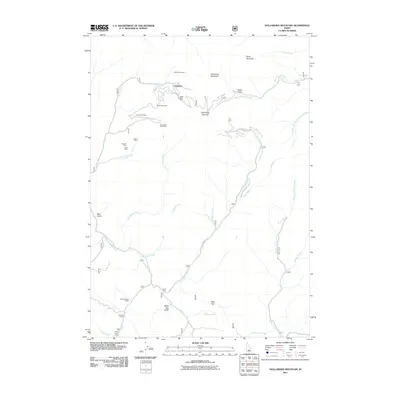 2011 Dollarhide Mountain2011 Print · USGSBlaine County mining claims and high mountain summits are documented here during the early twenty-first century. Genealogists and historians can locate old camps and mineral workings such as Carrietown, the Last Chance Mine, and Gooding Cow Camp.
Showing maps 1-25 of 96
Top cities of Camas County
Frequently asked questions
- What are the different types of historical maps available for Camas County?
- What is the oldest map of Camas County?
- Where can I purchase historical maps of Camas County for my home or office?
- Where can I download high-res historical maps of Camas County?
- Are there historical topographic maps available for Camas County?
- Is there historical aerial imagery available for Camas County?
- Where are historical maps of Camas County sourced from?