2000s (21st Century) Maps of Island Park, Idaho
Explore 32 historic maps of Island Park from the 2000s (21st Century). These maps offer a rare glimpse into what life looked like during the 2000s — showing old roads, neighborhoods, homes, and landmarks that have changed or disappeared over time.
Whether you're researching your family's past, planning a metal detecting trip, or studying how Island Park's landscape evolved across the 2000s, these high-resolution maps are a powerful tool for exploring the history of this region.
- Focus on a specific era: All maps on this page are from the 2000s, giving you a focused view of this time period.
- See what’s changed: Compare century-old streets, trails, and buildings to today's modern landscape using overlays and satellite layers.
- Research with precision: Use these maps for genealogy, historical research, land use analysis, or educational projects.
- View, download, or print: Maps are fully viewable online in high resolution, and can be downloaded or printed for your own records.
Start exploring Island Park's history through authentic maps from the 2000s. This is your window into the past.
Island Park, ID maps
(32)- 2000 Map of Targhee Pass, 2005 Print
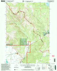 2000 Targhee Pass2005 Print · USGSThe high alpine pass between Idaho and Montana comes to life in this late-twentieth-century survey of the Henrys Lake Mountains. Trace the rugged ridgelines along the Continental Divide and find local landmarks like Targhee Cemetery and Lionhead Resort.
 - 2000 Map of Targhee Peak, 2005 Print
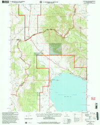 2000 Targhee Peak2005 Print · USGSThe high mountain border between Idaho and Montana is captured here at the turn of the millennium, centered on the northern reaches of Henrys Lake. Genealogists and historians can locate legacy properties like the Wild Rose Ranch and Staley Springs along the rugged Continental Divide.
 - 2011 Map of Big Springs, 2011 Print
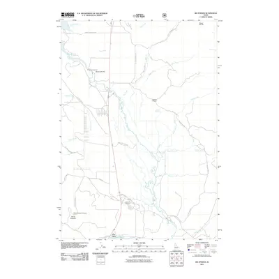 2011 Big Springs2011 Print · USGSIsland Park’s alpine basin is captured here in the early 2010s, centered on the headwaters of the river and the recreation around Henrys Lake. Researchers can trace old forest access routes and landmarks like Flat Rock, the Henrys Lake Dam, and the winding Henrys Fork.
 - 2011 Map of Last Chance, 2011 Print
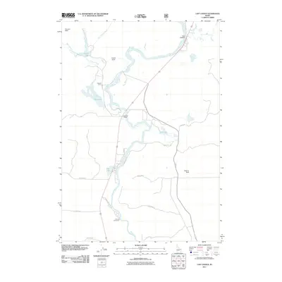 2011 Last Chance2011 Print · USGSThe Henrys Fork river corridor in the early twenty-first century is captured here in detail, showcasing the ranching and recreation landscape of Fremont County. Genealogists and historians can trace property boundaries at Railroad Ranch or locate riverside landmarks like Last Chance and the Osborne Bridge.
 - 2011 Map of Island Park Dam, 2011 Print
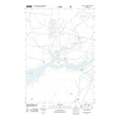 2011 Island Park Dam2011 Print · USGSIsland Park, Idaho is shown in the early 2000s as a hub for river recreation and ranching. Researchers can trace the layout of shoreline settlements like Rea and identify numerous family-named landmarks including I P Bills Island and McCrea Ranch.
 - 2011 Map of Island Park, 2011 Print
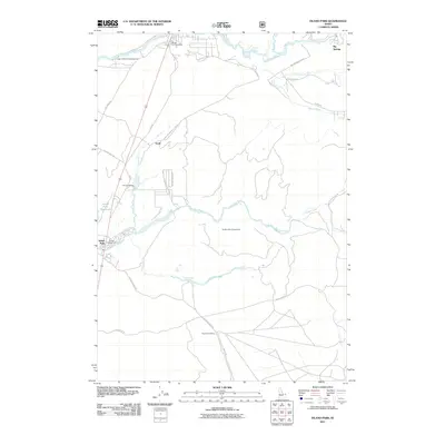 2011 Island Park2011 Print · USGSIsland Park and the Henrys Fork river system are documented in this 2011 survey during an era of established recreational tourism. Researchers can trace local landmarks like Macks Inn Post Office, the Island Park Siding, and the Buffalo River Access Area.
 - 2011 Map of Targhee Pass, 2011 Print
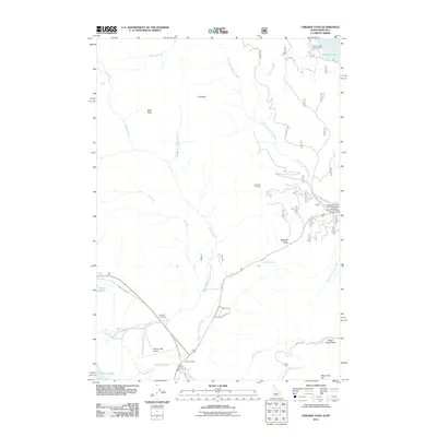 2011 Targhee Pass2011 Print · USGSThe high divide at the Idaho-Montana border is captured here in the early twenty-first century as a hub for mountain recreation and travel. Researchers can locate family landmarks and transit points like Targhee Cemetery, Sunset Lodge, and Henrys Lake Airport.
 - 2011 Map of Targhee Peak, 2011 Print
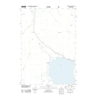 2011 Targhee Peak2011 Print · USGSThe Idaho-Montana borderlands are captured here in the early twenty-first century as the high-elevation ranching and fishing traditions endure. Researchers can trace the shoreline of Henrys Lake to find the Henrys Lake Fish Hatchery or locate Raynolds Pass in the Horn Mountains.
 - 2013 Map of Island Park, 2013 Print
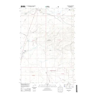 2013 Island Park2013 Print · USGSThe high country of Fremont County comes into focus in the early twenty-first century, centered on the recreational corridor of the Targhee National Forest. Researchers can trace the layout of mountain settlements like Trude and Flat Rock alongside natural features like Big Springs.
 - 2013 Map of Targhee Peak, 2013 Print
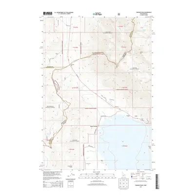 2013 Targhee Peak2013 Print · USGSThe Idaho-Montana borderlands come into focus in the early 2010s, centered on the high-elevation waters of Henrys Lake. Genealogists and historians can trace longstanding local landmarks like the Wild Rose Ranch, Staley Springs, and Reynolds Pass.
 - 2013 Map of Big Springs, 2013 Print
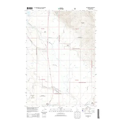 2013 Big Springs2013 Print · USGSIsland Park’s mountain landscape is captured here just over a decade ago, showing the intersection of forest service lands and local recreation. Trace the alpine terrain from Mt Two Top to the Island Park Golf Course and the waters of Henrys Lake.
 - 2013 Map of Targhee Pass, 2013 Print
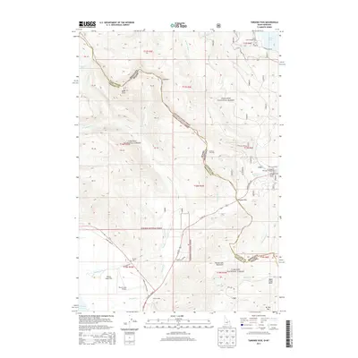 2013 Targhee Pass2013 Print · USGSThe high mountain divide at the state border is captured in the early twenty-first century, showing the intersection of national forests and alpine watersheds. Local researchers can locate Targhee Cem, trace the developed recreation at Lionhead Ski Area, and find remote outposts like Sunset Lodge.
 - 2013 Map of Last Chance, 2013 Print
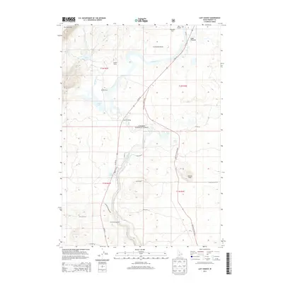 2013 Last Chance2013 Print · USGSUpper Idaho at the start of the 2010s reveals a landscape defined by the Henrys Fork and the Targhee National Forest. Researchers can trace the layout of the Railroad Ranch and find specific backcountry access via Wood Road 16 and the Riverside Campground.
 - 2013 Map of Island Park Dam, 2013 Print
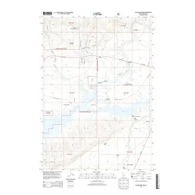 2013 Island Park Dam2013 Print · USGSIsland Park, Idaho, is shown during a period of significant recreational and hydrological development. Trace the residential layouts of I P Bills Island, the engineering of Island Park Dam, and the waters of Bishop Lake.
 - 2017 Map of Targhee Peak, 2017 Print
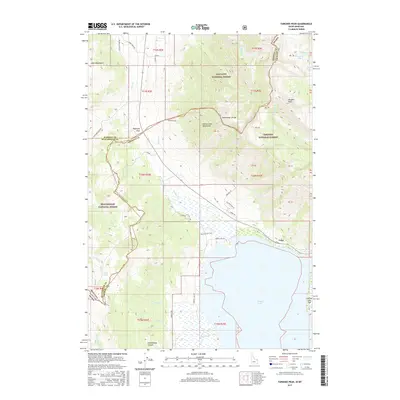 2017 Targhee Peak2017 Print · USGSThe high mountain border between Idaho and Montana comes alive in this modern survey of the Continental Divide. Trace the rugged terrain from Targhee Peak down to the shores of Henrys Lake, locating points like Raynolds Pass and Schoolhouse Canyon.
 - 2017 Map of Island Park, 2017 Print
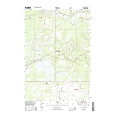 2017 Island Park2017 Print · USGSThe high caldera country of eastern Idaho is captured here in the late twenty-tens, showing the complex river systems and forest roads of the Targhee National Forest. Researchers can trace the path of the Old Highway (Macks) and find historic rail locations like Trude Siding and Island Park Siding.
 - 2017 Map of Big Springs, 2017 Print
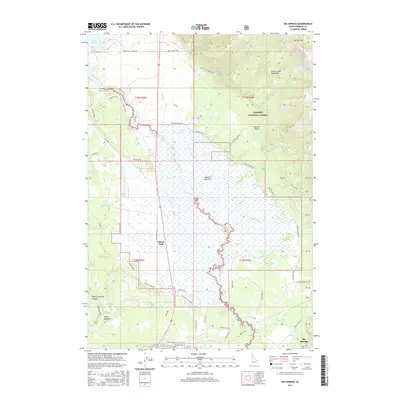 2017 Big Springs2017 Print · USGSUpper Fremont County in the late 2010s reveals a high-country landscape of ranching history and river headwaters. Trace local family heritage at Mickelson Ranch and Kooch Ranch, or explore the hydrological network of Henrys Lake Flat and Big Springs.
 - 2017 Map of Island Park Dam, 2017 Print
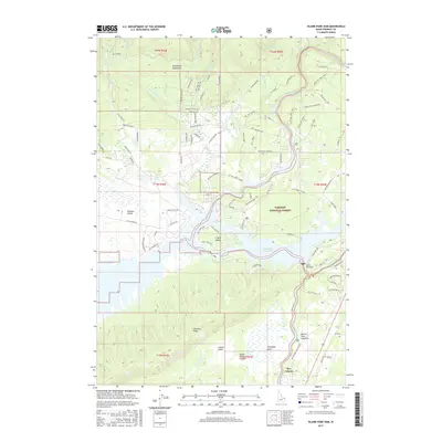 2017 Island Park Dam2017 Print · USGSIsland Park and the Henrys Fork region are shown here in the 2010s as a hub of reservoir recreation and forest management. Researchers can trace the development of I P Bills Island and locate local landmarks like Island Park Dam and Coffee Pot Rapids.
 - 2017 Map of Last Chance, 2017 Print
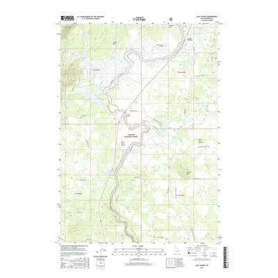 2017 Last Chance2017 Print · USGSHenrys Fork winds through the Island Park region in the late 2010s, showing a landscape defined by volcanic calderas and forest management. Researchers can locate the settlement of Last Chance or trace historical forest routes like Wood Road 14 and the Osborne Cutoff.
 - 2017 Map of Targhee Pass, 2017 Print
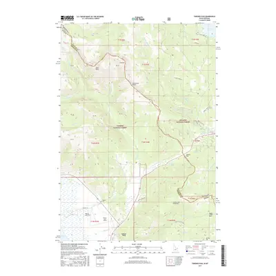 2017 Targhee Pass2017 Print · USGSThe high Idaho-Montana borderlands come into focus in this recent survey of the Continental Divide. Trace the rugged terrain from Henrys Lake up to Targhee Pass, locating remote landmarks like Targhee Cem and Lionhead.
 - 2020 Map of Island Park Dam, 2020 Print
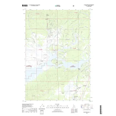 2020 Island Park Dam2020 Print · USGSFremont County's high volcanic plateau is centered on the Island Park Reservoir in this modern survey. Map researchers can trace the course of the Henrys Fork river, locate the Island Park Dam, and explore the shoreline developments of I P Bills Island.
 - 2020 Map of Targhee Pass, 2020 Print
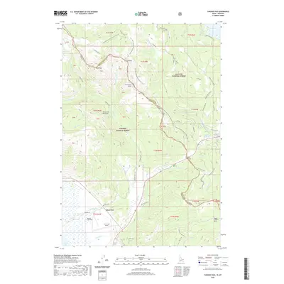 2020 Targhee Pass2020 Print · USGSThe high mountain corridor between Idaho and Montana comes into focus here in the early twenty-first century. Researchers can trace the path of the Continental Divide National Scenic Trail and locate local landmarks like the Targhee Cem and Henry's Lake Airport.
 - 2020 Map of Big Springs, 2020 Print
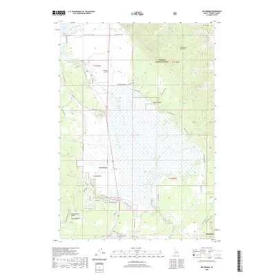 2020 Big Springs2020 Print · USGSIsland Park and the high timber of the Targhee National Forest are captured here in the early twenty-first century. Researchers can trace the local landscape through family-named landmarks like the Mickelson Ranch and the varied terrain of Sawtell Peak and White Elephant Canyon.
 - 2020 Map of Island Park, 2020 Print
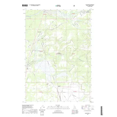 2020 Island Park2020 Print · USGSIsland Park and the high timber country of Fremont County are captured here during a period of modern conservation and recreation. Researchers can trace historical routes like the Railroad Right-Of-Way or locate local landmarks like Trude and Big Springs.
 - 2020 Map of Last Chance, 2020 Print
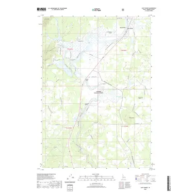 2020 Last Chance2020 Print · USGSUpper Idaho's volcanic landscape and timberlands are well-documented here during the early twenty-first century. Researchers can trace the winding Henry's Fork and find local landmarks like Osborne Bridge and the Last Chance settlement.
Showing maps 1-25 of 32
Top neighborhoods of Island Park
Frequently asked questions
- What are the different types of historical maps available for Island Park?
- What is the oldest map of Island Park?
- Where can I purchase historical maps of Island Park for my home or office?
- Where can I download high-res historical maps of Island Park?
- Are there historical topographic maps available for Island Park?
- Is there historical aerial imagery available for Island Park?
- Where are historical maps of Island Park sourced from?