Old Maps of Island Park, Idaho for Hiking & Exploration
Hike through history with 44 historic maps of Island Park. Explore old trails, ghost towns, and forgotten backroads — perfect for outdoor adventurers and local explorers.
- Rediscover forgotten places: Map out old mining camps, roads, and footpaths that no longer exist on modern maps.
- Layer with modern tools: Combine with LiDAR or satellite views to plan hikes through historical terrain.
- Made for exploration: Popular among hikers, overlanders, and local history lovers.
Use these maps to find adventure and explore the hidden past of Island Park.
Island Park, ID maps
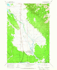
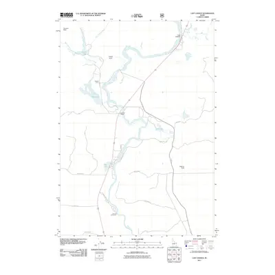
(44)- 1955 Map of Ashton, 1967 Print
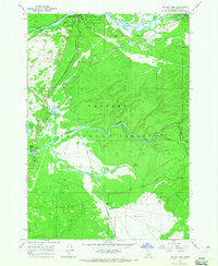
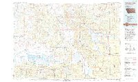
 1955 Ashton1967 Print · USGSThe Greater Yellowstone ecosystem is captured here during the mid-1950s, showing the high plateaus and remote gateway towns of Idaho and Montana. Researchers can trace the Union Pacific line to Ashton or locate small settlements like Squirrel and Grainville.4 unique versions available
 - 1958 Map of Ashton
 1958 Ashton1958 Print · USGSGreater Yellowstone and the eastern Idaho borderlands appear here in the mid-1950s as rail and road networks connected remote mountain basins. Trace the Union Pacific route through Ashton or locate early outposts like Last Chance, Squirrel, and West Yellowstone.
 - 1960 Map of Ashton
 1960 Ashton1960 Print · USGSThe Idaho-Montana-Wyoming borderlands at the dawn of the sixties show a landscape defined by the Continental Divide and early wilderness tourism. Genealogists and historians can trace rail-stop settlements like Trude Siding, old outposts like Warm River, and early lodging at Snowball Inn.
 - 1964 Map of Island Park, 1965 Print
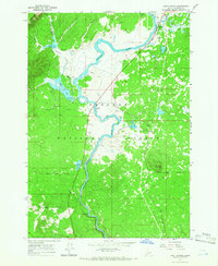
 1964 Island Park1965 Print · USGSEastern Idaho was a landscape of federal forestry and growing tourism in the 1960s. Genealogists and historians can trace the foundations of local recreation at the Island Park Reservoir, Macks Inn PO, and the Union Pacific rail corridor.3 unique versions available
 - 1964 Map of Island Park Dam, 1966 Print
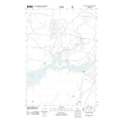
 1964 Island Park Dam1966 Print · USGSFremont County, Idaho, is shown in the mid-1960s during a period of burgeoning outdoor recreation and water management. Researchers can trace ranching and reservoir life through features like McCrea Ranch, the Island Park Dam, and I P Bills Island.3 unique versions available
 - 1964 Map of Targhee Pass, 1966 Print
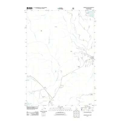
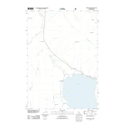
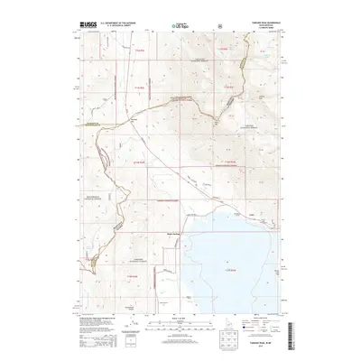
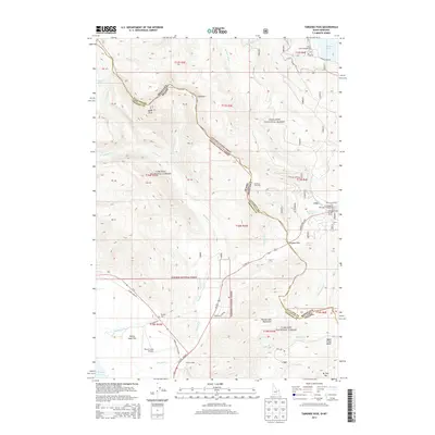
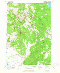 1964 Targhee Pass1966 Print · USGSThe high alpine country of the Idaho-Montana border comes alive in this mid-century survey of the Continental Divide. Trace early mountain routes through Targhee Pass, discover the location of the Targhee Cem, and see the footprint of the ski lift at Lionhead.4 unique versions available
 - 1964 Map of Targhee Peak, 1966 Print
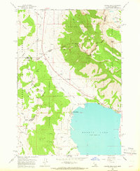 1964 Targhee Peak1966 Print · USGSThe Idaho-Montana borderlands at the Continental Divide are captured here in the mid-1960s, showing the high-country interface between three National Forests. Genealogists and historians can trace family-named outposts like Wild Rose Ranch and Staley Springs along the northern shores of Henrys Lake.2 unique versions available
 - 1964 Map of Big Springs, 1966 Print
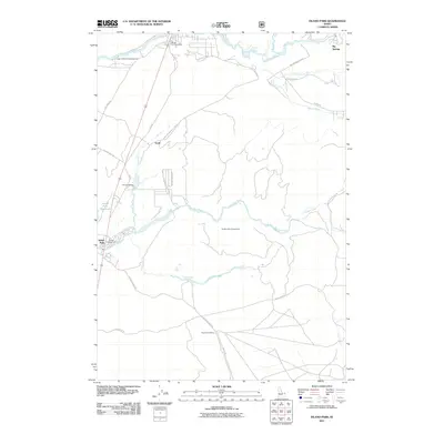
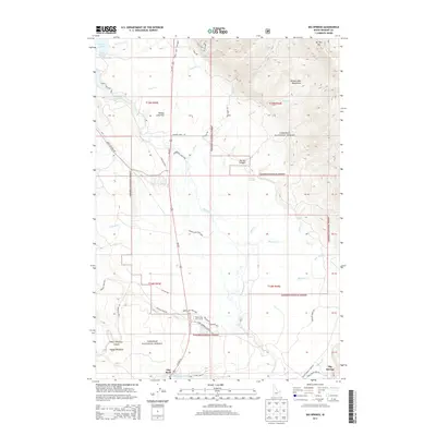
 1964 Big Springs1966 Print · USGSBig Springs and the surrounding Idaho forest lands are captured here in the mid-sixties as the region balanced railroad industry with mountain recreation. Researchers can trace the Union Pacific line, locate the Big Springs Airstrip, and explore the high country around Mount Two Top.2 unique versions available
 - 1964 Map of Last Chance, 1966 Print
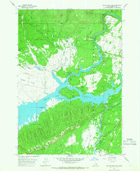
 1964 Last Chance1966 Print · USGSHenrys Fork and the surrounding Targhee National Forest are captured here in the mid-1960s, a time of active ranching and emerging river recreation. Genealogists and researchers can trace the roads around Last Chance, the historic Railroad Ranch, and the Osborne Bridge.3 unique versions available
 - 1964 Map of Henrys Lake, 1972 Print
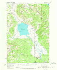 1964 Henrys Lake1972 Print · USGSThe Idaho-Montana border country is documented here in the early 1960s, a time when ranching life and mountain recreation coexisted. Genealogists and historians can trace local landmarks like Targhee Cem, the Johnson Ranch, and the Lionhead Ski Area.2 unique versions available
 - 1989 Map of Ashton
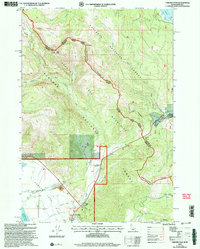
 1989 Ashton1989 Print · USGSEastern Idaho at the end of the 1980s is captured here as a landscape of river-fed agriculture and high-altitude wilderness. Researchers can trace the Union Pacific line through Ashton and find old settlements like Kilgore and Idmon near the Targhee National Forest border.2 unique versions available
 - 1993 Map of Hebgen Lake
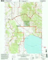
 1993 Hebgen Lake1993 Print · USGSThe high mountain passes and vast river basins of the Montana-Idaho border come into focus in the early nineties. Genealogists and historians can trace the remote settlement of Lakeview and the development of West Yellowstone near the Red Rock Lakes National Wildlife Refuge.2 unique versions available
 - 2000 Map of Targhee Pass, 2005 Print
 2000 Targhee Pass2005 Print · USGSThe high alpine pass between Idaho and Montana comes to life in this late-twentieth-century survey of the Henrys Lake Mountains. Trace the rugged ridgelines along the Continental Divide and find local landmarks like Targhee Cemetery and Lionhead Resort.
 - 2000 Map of Targhee Peak, 2005 Print
 2000 Targhee Peak2005 Print · USGSThe high mountain border between Idaho and Montana is captured here at the turn of the millennium, centered on the northern reaches of Henrys Lake. Genealogists and historians can locate legacy properties like the Wild Rose Ranch and Staley Springs along the rugged Continental Divide.
 - 2011 Map of Big Springs, 2011 Print
 2011 Big Springs2011 Print · USGSCovers Island Park, including Fremont County, United States, and other nearby areas
 - 2011 Map of Last Chance, 2011 Print
 2011 Last Chance2011 Print · USGSCovers Island Park, including Last Chance, Fremont County, and other nearby areas
 - 2011 Map of Island Park Dam, 2011 Print
 2011 Island Park Dam2011 Print · USGSCovers Island Park, including Box Canyon, Fremont County, and other nearby areas
 - 2011 Map of Island Park, 2011 Print
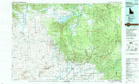
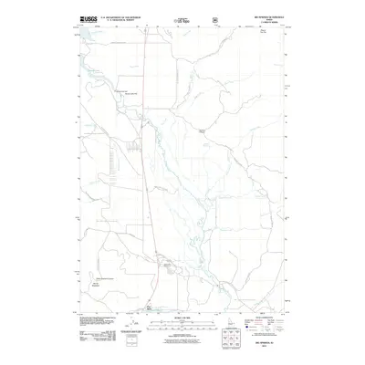
 2011 Island Park2011 Print · USGSCovers Island Park, including Big Springs, Fremont County, and other nearby areas
 - 2011 Map of Targhee Pass, 2011 Print
 2011 Targhee Pass2011 Print · USGSCovers Island Park, including Gallatin County, Fremont County, and other nearby areas
 - 2011 Map of Targhee Peak, 2011 Print
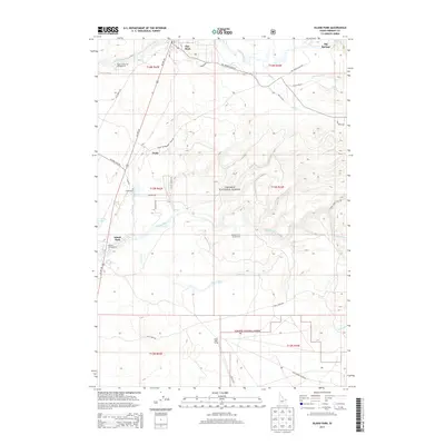
 2011 Targhee Peak2011 Print · USGSCovers Island Park, including Lake, Staley Springs, and other nearby areas
 - 2013 Map of Island Park, 2013 Print
 2013 Island Park2013 Print · USGSCovers Island Park, including Big Springs, Fremont County, and other nearby areas
 - 2013 Map of Targhee Peak, 2013 Print
 2013 Targhee Peak2013 Print · USGSCovers Island Park, including Lake, Staley Springs, and other nearby areas
 - 2013 Map of Big Springs, 2013 Print
 2013 Big Springs2013 Print · USGSCovers Island Park, including Fremont County, United States, and other nearby areas
 - 2013 Map of Targhee Pass, 2013 Print
 2013 Targhee Pass2013 Print · USGSCovers Island Park, including Gallatin County, Fremont County, and other nearby areas
 - 2013 Map of Last Chance, 2013 Print
 2013 Last Chance2013 Print · USGSCovers Island Park, including Last Chance, Fremont County, and other nearby areas
Showing maps 1-25 of 44
Top neighborhoods of Island Park
Frequently asked questions
- What are the different types of historical maps available for Island Park?
- What is the oldest map of Island Park?
- Where can I purchase historical maps of Island Park for my home or office?
- Where can I download high-res historical maps of Island Park?
- Are there historical topographic maps available for Island Park?
- Is there historical aerial imagery available for Island Park?
- Where are historical maps of Island Park sourced from?