2020s Maps of Nez Perce County, Idaho
Explore 71 historic maps of Nez Perce County from the 2020s. These maps offer a rare glimpse into what life looked like during the 2020s — showing old roads, neighborhoods, homes, and landmarks that have changed or disappeared over time.
Whether you're researching your family's past, planning a metal detecting trip, or studying how Nez Perce County's landscape evolved across the 2020s, these high-resolution maps are a powerful tool for exploring the history of this region.
- Focus on a specific era: All maps on this page are from the 2020s, giving you a focused view of this time period.
- See what’s changed: Compare century-old streets, trails, and buildings to today's modern landscape using overlays and satellite layers.
- Research with precision: Use these maps for genealogy, historical research, land use analysis, or educational projects.
- View, download, or print: Maps are fully viewable online in high resolution, and can be downloaded or printed for your own records.
Start exploring Nez Perce County's history through authentic maps from the 2020s. This is your window into the past.
Nez Perce County, ID maps
(71)- 2020 Map of Uniontown, 2020 Print
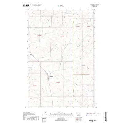 2020 Uniontown2020 Print · USGSThe borderlands of Washington and Idaho come to life in this survey of the Palouse. Researchers can trace family names and early rural sites from the streets of Uniontown and Colton to the isolated settlement of Leon and the banks of Union Flat Cr.
 - 2020 Map of Clarkston, 2020 Print
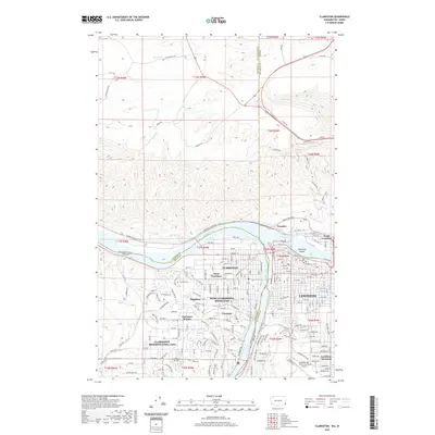 2020 Clarkston2020 Print · USGSThe confluence of the Snake and Clearwater Rivers defines this 2020 look at the Washington-Idaho border. Researchers can trace local genealogy at Vineland Cem or explore the civic layout of Clarkston, Lewiston, and Lewiston Orchards.
 - 2020 Map of Asotin, 2020 Print
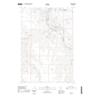 2020 Asotin2020 Print · USGSThe Idaho and Washington border comes alive in this study of the Snake River canyon as it appeared in recent years. Researchers can trace the layout of Asotin, locate the Asotin Cem, or explore the ridges surrounding Jerry and Ayers Gulch.
 - 2020 Map of Cactus Mountain, 2020 Print
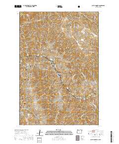 2020 Cactus Mountain2020 Print · USGSThe Snake River canyon landscape appears in great detail in this recent survey of the Idaho-Oregon border. Researchers can trace the Nez Perce National Historic Trail through the terrain past Dug Bar and the Dug Bar Airport.
 - 2020 Map of Jim Creek Butte, 2020 Print
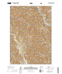 2020 Jim Creek Butte2020 Print · USGSThe tri-state border region of Idaho, Oregon, and Washington remains a wilderness of steep canyons and river rapids in the early twenty-first century. Researchers can trace the rugged topography of the Snake River corridor through landmarks like Cochran Islands, Jim Creek Butte, and the Baldwin Area.
 - 2020 Map of Deadhorse Ridge, 2020 Print
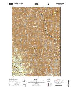 2020 Deadhorse Ridge2020 Print · USGSThe convergence of the Snake and Imnaha rivers defines this rugged borderland between Oregon and Idaho. Trace the wild river corridors through Mountain Sheep Rapids or locate high-ground landmarks like Deadhorse Butte and Cemetery Ridge.
 - 2020 Map of Texas Ridge, 2020 Print
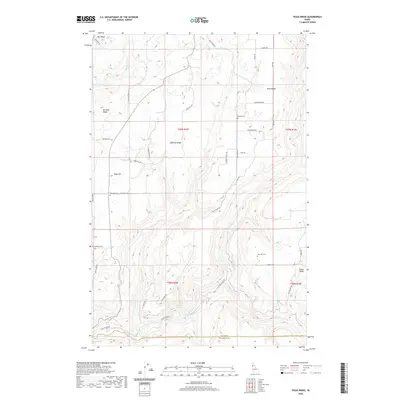 2020 Texas Ridge2020 Print · USGSThe high plateaus of northern Idaho appear here in the modern era, showing a landscape defined by the deep canyons of the Potlatch River. Researchers can locate historic rural burial grounds including Bethany Cem and Wild Rose Cem tucked along ridges like Texas Ridge.
 - 2020 Map of Peck, 2020 Print
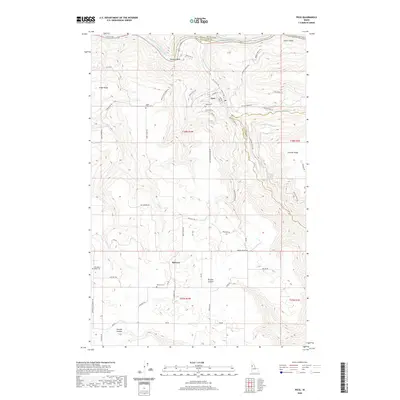 2020 Peck2020 Print · USGSThe Clearwater River valley and its high plateaus are captured here in the early twenty-first century. Genealogists can locate several burial grounds including Old Good Hope Cem and Melrose Cem, or trace the old roads winding through Nichols Canyon.
 - 2020 Map of Frye Point, 2020 Print
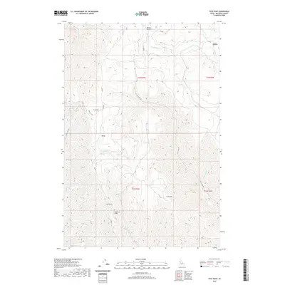 2020 Frye Point2020 Print · USGSNez Perce County's high country is captured here in the years preceding 2020, centered on the mountain settlement of Zaza. Researchers can trace the winding paths of Zaza Rd across Wapshilla Ridge or locate seasonal sites like Benton Meadows and Roberts Spring.
 - 2020 Map of Genesee, 2020 Print
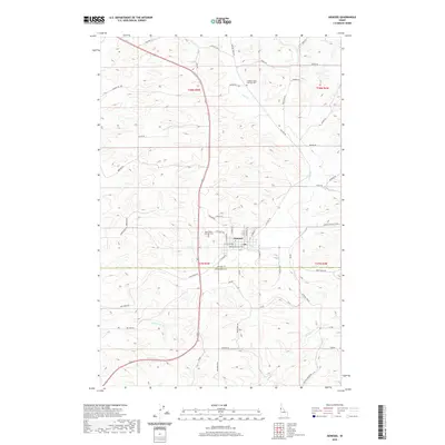 2020 Genesee2020 Print · USGSThe township of Genesee and its surrounding wheat-country landscape are documented here in the early twenty-first century. Family historians can locate specific burial sites at the Genesee Valley Lutheran Cem and Saint Johns Lutheran Cem while tracing the winding paths of Cow Cr and Union Flat Cr.
 - 2020 Map of Lenore, 2020 Print
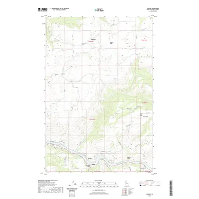 2020 Lenore2020 Print · USGSThe Clearwater River valley and its high plateau settlements are captured here in modern detail. Researchers can trace the layout of small communities like Agatha, Lenore, and Leland, or locate family sites near the Lenora Cem and along Potlatch Ridge.
 - 2020 Map of Mohler, 2020 Print
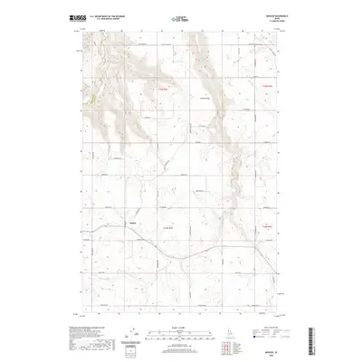 2020 Mohler2020 Print · USGSThe Idaho high prairie and its deep canyon breaks are documented here in Lewis and Nez Perce counties during the late twenty-teens. Genealogists can trace family footprints along Ralstin Rd or locate the Russell Cem near the banks of Fivemile Cr.
 - 2020 Map of Fletcher, 2020 Print
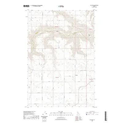 2020 Fletcher2020 Print · USGSThe border of Nez Perce and Lewis counties comes into focus in this recent survey of the Idaho uplands. Genealogists can locate the Fletcher Cem near Fletcher, while topographic enthusiasts can trace the steep drops of Posthole Canyon and Sixmile Canyon.
 - 2020 Map of Sweetwater, 2020 Print
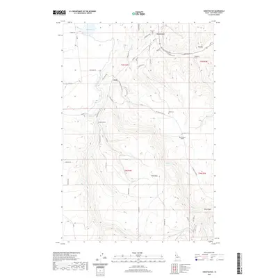 2020 Sweetwater2020 Print · USGSNez Perce County's canyonlands and water-management systems are captured here in the contemporary era. Researchers can trace the path of the Sweetwater Canal and locate family landmarks like Red Elk Cem, Webb Ridge, and the settlement of Webb.
 - 2020 Map of Southwick, 2020 Print
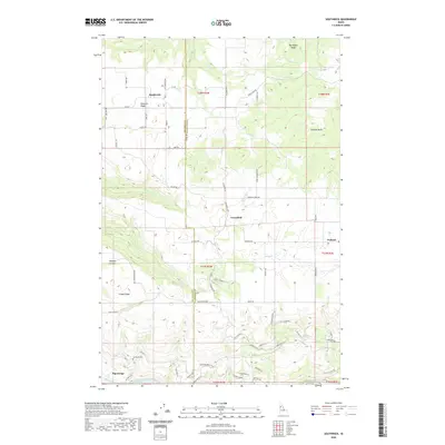 2020 Southwick2020 Print · USGSNez Perce and Clearwater counties meet in this high-plateau region during the early twenty-first century. Genealogists and local historians can trace legacy sites like Sunnyside Cem, the settlement at Teakean, and rugged passages such as Hanks Grade.
 - 2020 Map of Little Bear Ridge, 2020 Print
 2020 Little Bear Ridge2020 Print · USGSNez Perce County's high ridges and deep canyons are captured here in the contemporary era, showing a landscape defined by its agricultural plateaus. Genealogists can trace local roots at Spencer Cem or Little Bear Ridge Cem and follow old routes along Burnt Ridge and American Ridge.
 - 2020 Map of Orofino West, 2020 Print
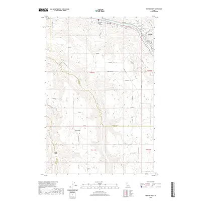 2020 Orofino West2020 Print · USGSThe Clearwater River valley and the agricultural uplands of Central Ridge are shown here during the early twenty-first century. Genealogists and researchers can locate the Clearwater County Courthouse, Riverside Cem, and the community of Orofino.
 - 2020 Map of Winchester West, 2020 Print
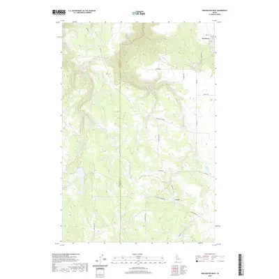 2020 Winchester West2020 Print · USGSThe high plateau of Nez Perce and Lewis Counties comes into focus in this recent survey of the Winchester area. Local researchers can trace the drainage of Mission Cr and Webb Cr or locate rural landmarks like Forest and Mc Cormick Ridge Rd.
 - 2020 Map of Hoover Point, 2020 Print
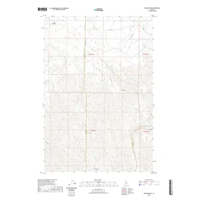 2020 Hoover Point2020 Print · USGSNez Perce and Lewis counties come together in this 2020 landscape where deep canyons descend toward the Salmon River. Researchers can trace high-altitude landmarks like Hoover Point or find the remote Deer Creek Airport and Oxbow.
 - 2020 Map of Park, 2020 Print
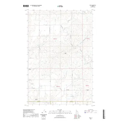 2020 Park2020 Print · USGSIn the modern era, this Idaho survey shows the rural settlements of Park, Linden, and Crescent as they exist within a maze of northern ridges. Researchers can trace land divisions and local landmarks like Tamarack Ridge, Gold Hill, and Longfellow Gulch.
 - 2020 Map of Gifford, 2020 Print
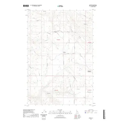 2020 Gifford2020 Print · USGSNez Perce County's high benchland and agricultural plateaus are documented here in the early twenty-first century. Genealogists and local historians can trace the foundations of Gifford and the German Settlement alongside landmarks like Amos Bench and Pickle Canyon.
 - 2020 Map of Juliaetta, 2020 Print
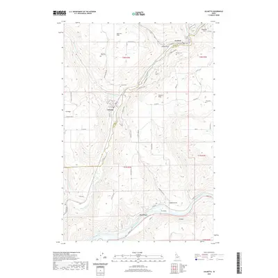 2020 Juliaetta2020 Print · USGSThe river valleys of Latah and Nez Perce counties are captured in this modern survey of the Palouse region. Genealogists can locate several key burial sites including American Ridge Cem and Juliaetta Cem near the banks of the Potlatch River.
 - 2020 Map of Reubens, 2020 Print
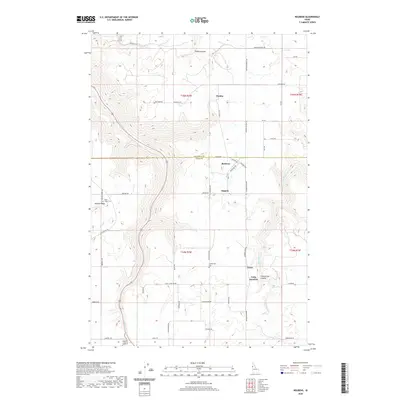 2020 Reubens2020 Print · USGSThe high Idaho plateaus and canyon lands of the Nez Perce border come into focus in the early twenty-first century. Researchers can trace rural legacy sites like Coldsprings Cem and the small settlements of Reubens, Kippen, and Chesley.
 - 2020 Map of Lewiston Orchards South, 2020 Print
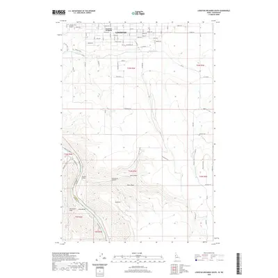 2020 Lewiston Orchards South2020 Print · USGSLewiston and the plateau of Lewiston Orchards were well-established residential and agricultural hubs by the early 2020s. Researchers can trace the descent from suburban streets into the rugged canyons of Tammany Creek and find sites like Tammany Cemetery.
 - 2020 Map of Lapwai, 2020 Print
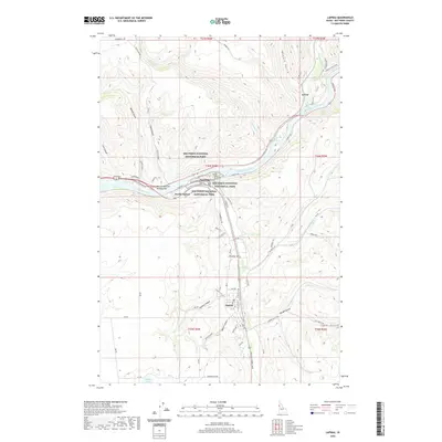 2020 Lapwai2020 Print · USGSThe confluence of the Clearwater and Potlatch rivers serves as the backdrop for this modern look at the Nez Perce Reservation. Researchers can trace the layout of Spalding and Lapwai, or locate landmarks like The Ant and the Yellowjacket and Old Townsite Trail.
Showing maps 1-25 of 71
Top cities of Nez Perce County
Frequently asked questions
- What are the different types of historical maps available for Nez Perce County?
- What is the oldest map of Nez Perce County?
- Where can I purchase historical maps of Nez Perce County for my home or office?
- Where can I download high-res historical maps of Nez Perce County?
- Are there historical topographic maps available for Nez Perce County?
- Is there historical aerial imagery available for Nez Perce County?
- Where are historical maps of Nez Perce County sourced from?