2000s (21st Century) Maps of Iowa
Explore 5,604 historic maps of Iowa from the 2000s (21st Century). These maps offer a rare glimpse into what life looked like during the 2000s — showing old roads, neighborhoods, homes, and landmarks that have changed or disappeared over time.
Whether you're researching your family's past, planning a metal detecting trip, or studying how Iowa's landscape evolved across the 2000s, these high-resolution maps are a powerful tool for exploring the history of this region.
- Focus on a specific era: All maps on this page are from the 2000s, giving you a focused view of this time period.
- See what’s changed: Compare century-old streets, trails, and buildings to today's modern landscape using overlays and satellite layers.
- Research with precision: Use these maps for genealogy, historical research, land use analysis, or educational projects.
- View, download, or print: Maps are fully viewable online in high resolution, and can be downloaded or printed for your own records.
Start exploring Iowa's history through authentic maps from the 2000s. This is your window into the past.
Iowa maps
(5,604)- 2000 Map of Milan, 2001 Print
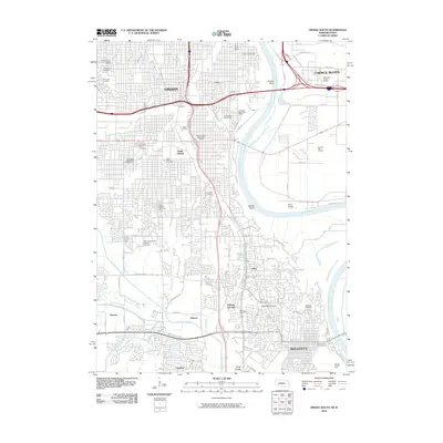
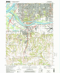 2000 Milan2001 Print · USGSThe Quad Cities region comes into sharp focus at the end of the century, where the river-based industrial legacy meets modern suburban expansion. Researchers can trace family sites from Chippiannock Cem to rural outposts like Coyne Center and Oak Grove.
 - 2010 Map of Treynor, 2010 Print
 2010 Treynor2010 Print · USGSCovers Iowa, including Treynor, Pottawattamie County, and other nearby areas
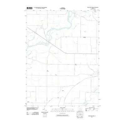
 - 2010 Map of Mineola, 2010 Print
 2010 Mineola2010 Print · USGSCovers Iowa, including Mineola, Dumfries, and other nearby areas
 - 2010 Map of Carson, 2010 Print
 2010 Carson2010 Print · USGSCovers Iowa, including Carson, Macedonia, and other nearby areas
 - 2010 Map of Griswold NE, 2010 Print
 2010 Griswold NE2010 Print · USGSCovers Iowa, including Cass County, Montgomery County, and other nearby areas
 - 2010 Map of Malvern, 2010 Print
 2010 Malvern2010 Print · USGSCovers Iowa, including Malvern, Hastings, and other nearby areas
 - 2010 Map of Clearmont, 2010 Print
 2010 Clearmont2010 Print · USGSCovers Iowa, including Clearmont, College Springs, and other nearby areas
 - 2010 Map of Griswold, 2010 Print
 2010 Griswold2010 Print · USGSCovers Iowa, including Griswold, Elliott, and other nearby areas
 - 2010 Map of Glenwood, 2010 Print
 2010 Glenwood2010 Print · USGSCovers Iowa, including Glenwood, Silver City, and other nearby areas
 - 2010 Map of Omaha South, 2010 Print
 2010 Omaha South2010 Print · USGSCovers Iowa, including Omaha, Council Bluffs, and other nearby areas
 - 2010 Map of Wales, 2010 Print
 2010 Wales2010 Print · USGSCovers Iowa, including Wales, McPherson, and other nearby areas
 - 2010 Map of Carson NE, 2010 Print
 2010 Carson NE2010 Print · USGSCovers Iowa, including Pottawattamie County, Montgomery County, and other nearby areas
 - 2010 Map of Emerson, 2010 Print
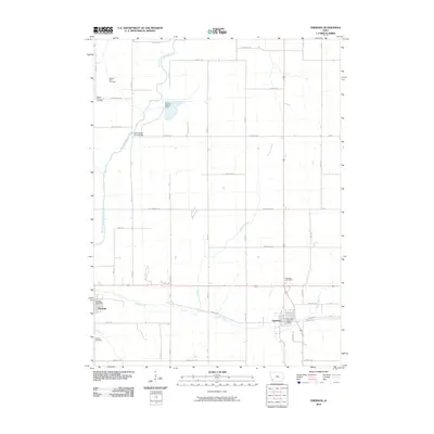 2010 Emerson2010 Print · USGSCovers Iowa, including Emerson, Hastings, and other nearby areas
 - 2010 Map of Fremont, 2010 Print
 2010 Fremont2010 Print · USGSCovers Iowa, including Fremont, Kirkville, and other nearby areas
 - 2010 Map of Dedham, 2010 Print
 2010 Dedham2010 Print · USGSCovers Iowa, including Dedham, Willey, and other nearby areas
 - 2010 Map of Muscatine NW, 2010 Print
 2010 Muscatine NW2010 Print · USGSCovers Iowa, including Muscatine, Ardon, and other nearby areas
 - 2010 Map of Carbon, 2010 Print
 2010 Carbon2010 Print · USGSCovers Iowa, including Corning, Carbon, and other nearby areas
 - 2010 Map of West Point, 2010 Print
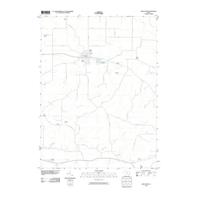 2010 West Point2010 Print · USGSCovers Iowa, including Fort Madison, West Point, and other nearby areas
 - 2010 Map of Winfield South, 2010 Print
 2010 Winfield South2010 Print · USGSCovers Iowa, including Winfield, Mount Union, and other nearby areas
 - 2010 Map of Adair South, 2010 Print
 2010 Adair South2010 Print · USGSCovers Iowa, including Adair, Cass County, and other nearby areas
 - 2010 Map of Olmitz, 2010 Print
 2010 Olmitz2010 Print · USGSCovers Iowa, including Tipperary, Olmitz, and other nearby areas
 - 2010 Map of Diagonal, 2010 Print
 2010 Diagonal2010 Print · USGSCovers Iowa, including Diagonal, Knowlton, and other nearby areas
 - 2010 Map of Slater, 2010 Print
 2010 Slater2010 Print · USGSCovers Iowa, including Ames, Slater, and other nearby areas
 - 2010 Map of North English, 2010 Print
 2010 North English2010 Print · USGSCovers Iowa, including North English, Parnell, and other nearby areas
 - 2010 Map of Donnellson, 2010 Print
 2010 Donnellson2010 Print · USGSCovers Iowa, including Donnellson, Franklin, and other nearby areas
Showing maps 1-25 of 5,604
Top cities of Iowa
- Des Moines historical maps
- Cedar Rapids historical maps
- Davenport historical maps
- Sioux City historical maps
- Iowa City historical maps
- West Des Moines historical maps
See more
Top counties of Iowa
- Polk County historical maps
- Linn County historical maps
- Scott County historical maps
- Johnson County historical maps
- Black Hawk County historical maps
- Woodbury County historical maps
See more
Frequently asked questions
- What are the different types of historical maps available for Iowa?
- What is the oldest map of Iowa?
- Where can I purchase historical maps of Iowa for my home or office?
- Where can I download high-res historical maps of Iowa?
- Are there historical topographic maps available for Iowa?
- Is there historical aerial imagery available for Iowa?
- Where are historical maps of Iowa sourced from?