2020s Maps of Iowa
Explore 1,137 historic maps of Iowa from the 2020s. These maps offer a rare glimpse into what life looked like during the 2020s — showing old roads, neighborhoods, homes, and landmarks that have changed or disappeared over time.
Whether you're researching your family's past, planning a metal detecting trip, or studying how Iowa's landscape evolved across the 2020s, these high-resolution maps are a powerful tool for exploring the history of this region.
- Focus on a specific era: All maps on this page are from the 2020s, giving you a focused view of this time period.
- See what’s changed: Compare century-old streets, trails, and buildings to today's modern landscape using overlays and satellite layers.
- Research with precision: Use these maps for genealogy, historical research, land use analysis, or educational projects.
- View, download, or print: Maps are fully viewable online in high resolution, and can be downloaded or printed for your own records.
Start exploring Iowa's history through authentic maps from the 2020s. This is your window into the past.
Iowa maps
(1,137)- 2021 Map of Blanchard Island, 2021 Print
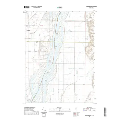 2021 Blanchard Island2021 Print · USGSThe Mississippi River valley comes into focus in this recent study of the borderlands between Iowa and Illinois. Researchers can trace land tracts near Fruitland, identify family plots at Island Cem and Glancey Cem, or follow the intricate drainage of Frieden Ditch.
 - 2021 Map of Blackhawk, 2021 Print
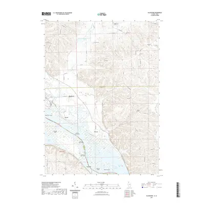 2021 Blackhawk2021 Print · USGSThe Mississippi River valley and the Illinois-Iowa border come alive in this recent survey, featuring the winding Apple River and numerous riverine islands. Genealogists can trace family roots at Derinda Center Trinity Lutheran Cem, Albright Cem, and the riverside settlement of Lainsville.
 - 2021 Map of Menominee, 2021 Print
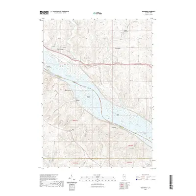 2021 Menominee2021 Print · USGSThe river bluffs of Jo Daviess County meet the Mississippi bottomlands in this 2021 survey of the Illinois and Iowa border. Genealogists and local historians can trace family sites at Preston Cem and the settlement at Whisky Hollow or Shawondasse.
 - 2021 Map of Galena, 2021 Print
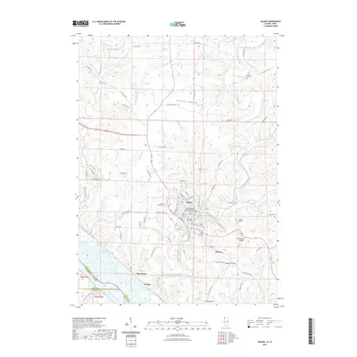 2021 Galena2021 Print · USGSThe riverfront and steep hills of Galena are captured in detail during the early 2020s, showing a landscape shaped by the Mississippi and its tributaries. Local history hunters can trace the locations of Grant Hill Cemetery, the Gears Ferry crossing, and landmarks like Horseshoe Mound.
 - 2021 Map of Dallas City, 2021 Print
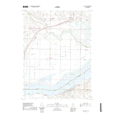 2021 Dallas City2021 Print · USGSThe Illinois and Iowa borderlands along the Mississippi River are captured in the early 2020s, showing the river's complex island system. Genealogists can locate several historic burial grounds including the Miller Family Plot, Mohnike Cem, and Tierney Cem.
 - 2021 Map of Nauvoo, 2021 Print
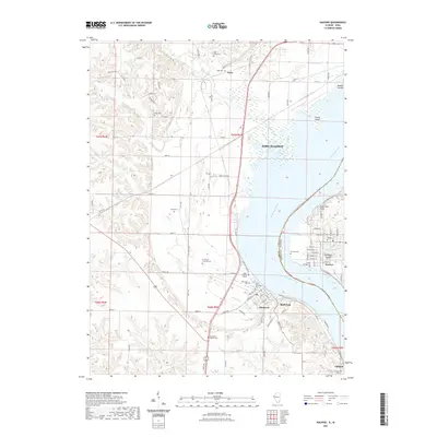 2021 Nauvoo2021 Print · USGSThe Mississippi River valley comes into sharp focus here during the early 21st century, revealing the cross-river relationship between Iowa and Illinois. Genealogists can locate numerous family burial sites and historical markers such as the Half Breed Cem, Indian Princess Grave, and Smith Family Cem.
 - 2021 Map of Hamilton, 2021 Print
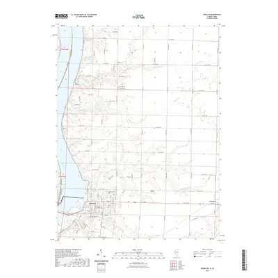 2021 Hamilton2021 Print · USGSThe Illinois-Iowa border comes alive in this survey of the riverfront and its surrounding uplands. Researchers can trace family history through five distinct burial grounds including Riverside Cem and Oakwood Cem, or explore the street layout of Hamilton.
 - 2021 Map of Oquawka, 2021 Print
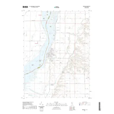 2021 Oquawka2021 Print · USGSThe riverfront village of Oquawka serves as the center of this recent Henderson County survey. Genealogists and local historians can trace the town’s grid near the Henderson County Courthouse or locate regional landmarks like the Oquawka Wagon Covered Bridge and Cumberland Cem.
 - 2021 Map of Lomax, 2021 Print
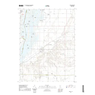 2021 Lomax2021 Print · USGSThe Henderson County riverfront comes into focus in the early 2020s, showing the intricate islands and sloughs along the Mississippi River. Genealogists can trace family names at Gittings Mound Cem, Shaw Cem, and the historic settlement of Lomax.
 - 2021 Map of Port Byron, 2021 Print
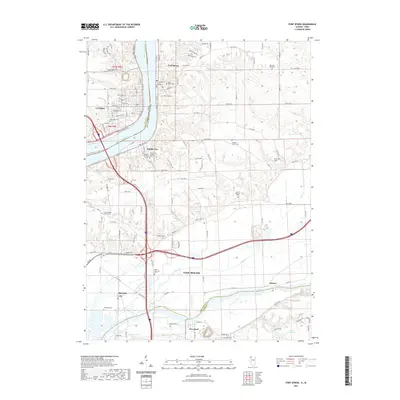 2021 Port Byron2021 Print · USGSThe Mississippi River corridor and the Rock River valley meet in this 2020s survey of the Illinois-Iowa border. Genealogists can trace deep local roots through over a dozen burial sites like Oak Grove Cem, Frieden's Cem, and Zion Lutheran Church Cem.
 - 2021 Map of Andalusia, 2021 Print
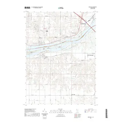 2021 Andalusia2021 Print · USGSThe Mississippi River corridor near the Iowa-Illinois border is documented here in the early 2020s, showing the interaction between industrial Davenport and rural Andalusia. Genealogists can locate several historic burial sites, such as Rose Hill Cem, Chapel Hill Cem, and Saint Peter's Cem.
 - 2021 Map of Keithsburg, 2021 Print
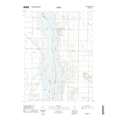 2021 Keithsburg2021 Print · USGSModern river life and agricultural history meet along the Mississippi River and its many islands in this recent survey. Researchers can trace family ties at Saint Mary's Ch or locate rural sites like Milroy and the Huron Island Cem.
 - 2021 Map of Silvis, 2021 Print
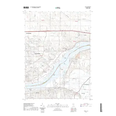 2021 Silvis2021 Print · USGSThe Quad Cities riverfront comes to life in the early 2020s, showing the complex boundary between Iowa and Illinois along the Mississippi River. Genealogists and local historians can trace the locations of Fairview Cem, Hampton Cem, and the industrial corridors of Silvis.
 - 2021 Map of Joy, 2021 Print
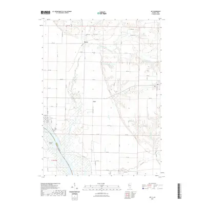 2021 Joy2021 Print · USGSWestern Illinois riverlands meet the agricultural interior in the early 2020s, showing the intersection of Mercer County and Iowa. Genealogists can trace family landmarks like Mannon Cem, New Boston Cem, and the small settlement of Arpee.
 - 2021 Map of Cordova, 2021 Print
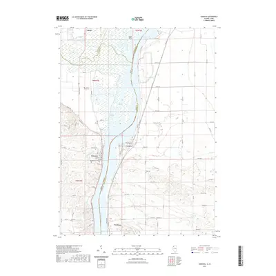 2021 Cordova2021 Print · USGSThe Mississippi River valley comes into sharp focus during the early 2020s, showing the intricate relationship between the river and its shoreline towns. Researchers can locate numerous local burial sites like Oak Ridge Cem and Nowlan Cem, or trace the winding course of Whiskey Run Cr.
 - 2021 Map of Illinois City, 2021 Print
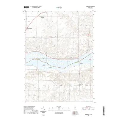 2021 Illinois City2021 Print · USGSThe Mississippi River valley serves as a centerpiece for this modern survey of the Iowa-Illinois borderlands. Local researchers can trace family sites at Illinois City Cem and Fairport Cem or explore the shifting banks of Wyoming Slough.
 - 2021 Map of Savanna, 2021 Print
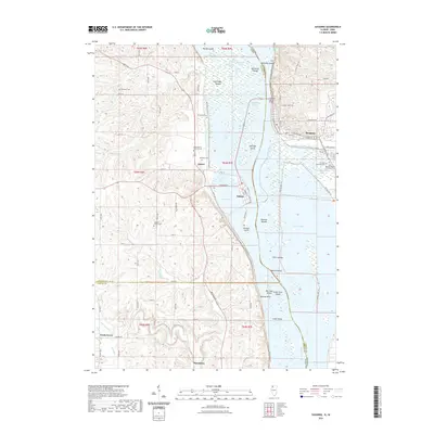 2021 Savanna2021 Print · USGSThe Mississippi River corridor between Illinois and Iowa appears here in the early 2020s, showcasing the intricate islands and river bluffs. Researchers can locate family sites at Evergreen Cem and Simpson Cem or trace the riverfronts of Savanna and Sabula.
 - 2021 Map of Niota, 2021 Print
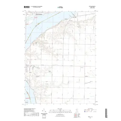 2021 Niota2021 Print · USGSThe Mississippi River valley and the historic communities of Niota and Nauvoo are captured here as they appeared in the early 2020s. Genealogists can trace family heritage across several historic sites, including the Old Nauvoo Burial Grounds, Appanoose Cemetery, and Zeh Cemetery.
 - 2021 Map of Milan, 2021 Print
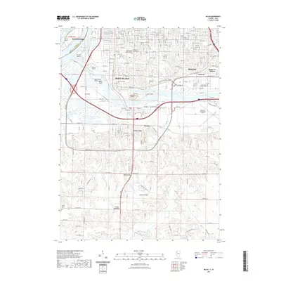 2021 Milan2021 Print · USGSThe Tri-Cities area of Iowa and Illinois appears in the early twenty-first century as a complex landscape of industry, aviation, and river life. Researchers can locate numerous local landmarks such as Chippiannock Cem, Ginger Hill, and the Quad City International Airport.
 - 2021 Map of Coatsville, 2021 Print
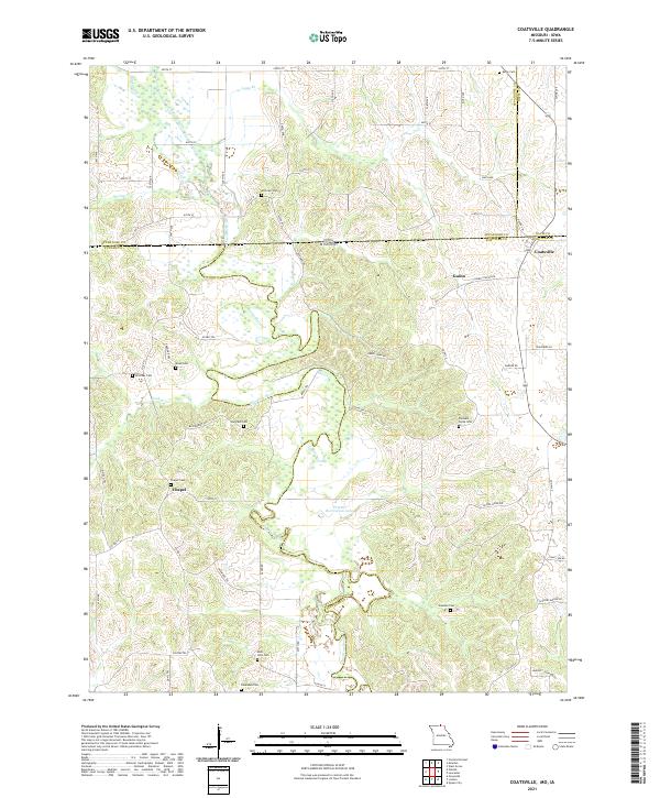 2021 Coatsville2021 Print · USGSThe Missouri-Iowa border comes to life in this survey of the northern Schuyler County countryside. Genealogists can trace family roots through a high concentration of burial sites, including Pleasant Grove Cem, Bratcher Cem, and Dean Cem.
 - 2021 Map of Hopkins, 2021 Print
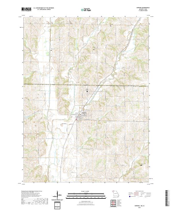 2021 Hopkins2021 Print · USGSThe northern edge of Nodaway County at the turn of the 2020s is defined by the three forks of the One Hundred and Two River converging near the town of Hopkins. Researchers can trace rural cemetery sites such as Williams Cem and Washburn Cem or locate the distinctive local rise of The Mound.
 - 2021 Map of Kilwinning, 2021 Print
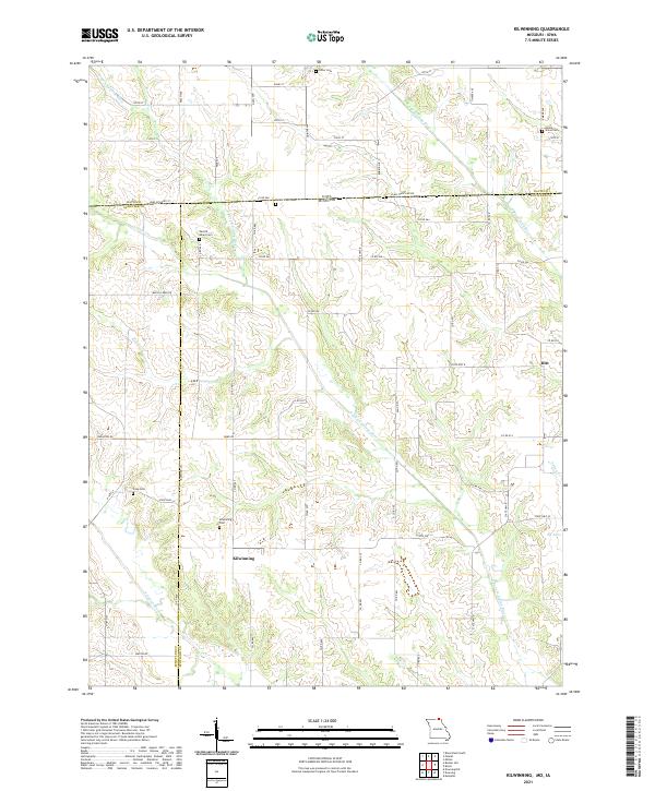 2021 Kilwinning2021 Print · USGSThe borderlands of Missouri and Iowa come into focus during the early twenty-first century, showing a landscape of quiet farming towns and river valleys. Researchers can trace ancestral roots through several rural burial sites like Lister Cem and Round Grove Cem near the crossroads of Hitt.
 - 2021 Map of Blockton SE, 2021 Print
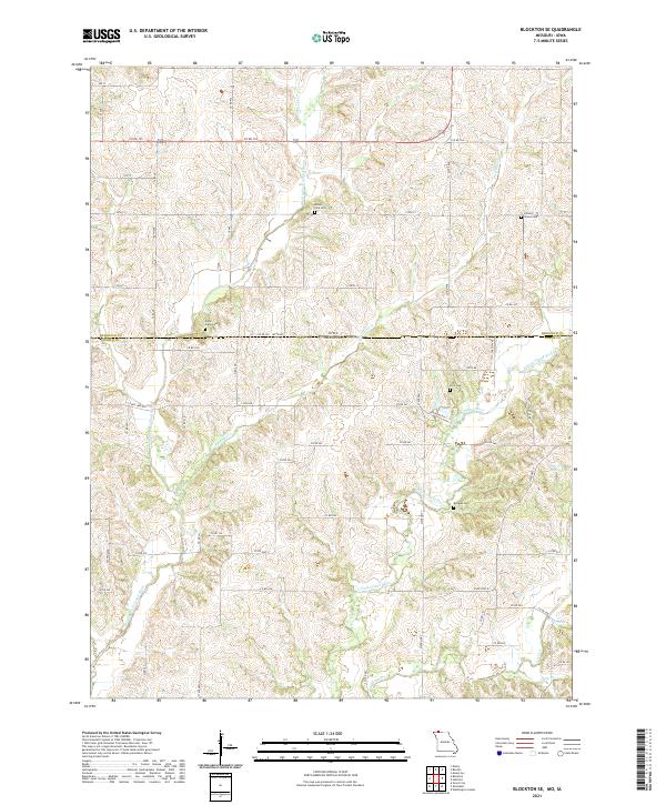 2021 Blockton SE2021 Print · USGSThe Missouri-Iowa border region comes alive through its river valleys and remote burial grounds in this recent survey. Local researchers can trace the course of the East Fork Grand River and locate historic sites like Middle Fork Cem or Crim Cem.
 - 2021 Map of Powersville, 2021 Print
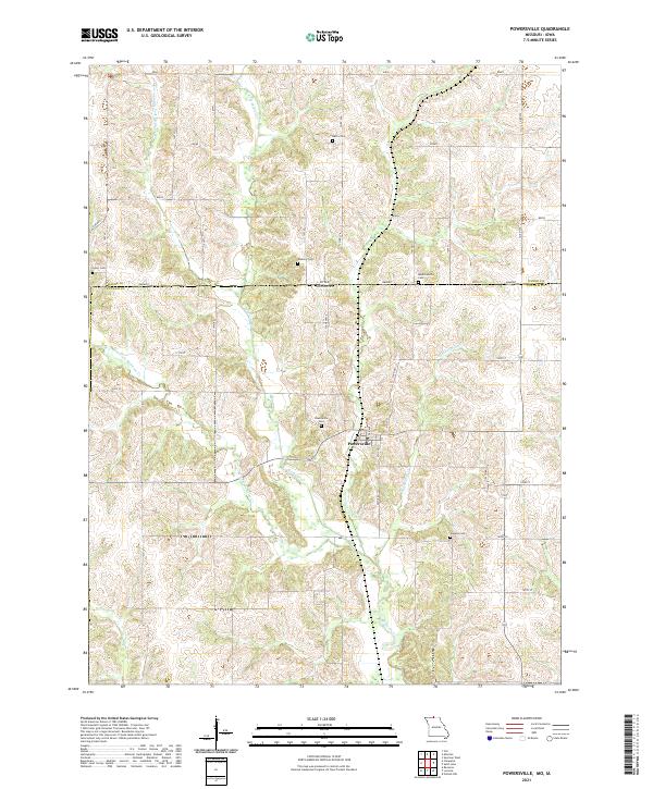 2021 Powersville2021 Print · USGSThe Missouri-Iowa borderlands near the start of the 2020s remain a landscape of quiet rural townships and winding creek forks. Local historians can trace family roots through numerous burial sites like Powersville Cemetery, Greer Cemetery, and the remote Wyreka Cemetery.
 - 2021 Map of Sheridan, 2021 Print
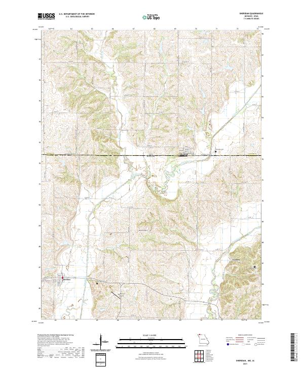 2021 Sheridan2021 Print · USGSThe Missouri-Iowa border comes into focus in this recent study of Worth County and Taylor County. Researchers can trace family roots at Sheridan Cem and Isadora Cem, or locate the specific grid of Athelstan near the Platte River.
Showing maps 1-25 of 1,137
Top cities of Iowa
- Des Moines historical maps
- Cedar Rapids historical maps
- Davenport historical maps
- Sioux City historical maps
- Iowa City historical maps
- West Des Moines historical maps
See more
Top counties of Iowa
- Polk County historical maps
- Linn County historical maps
- Scott County historical maps
- Johnson County historical maps
- Black Hawk County historical maps
- Woodbury County historical maps
See more
Frequently asked questions
- What are the different types of historical maps available for Iowa?
- What is the oldest map of Iowa?
- Where can I purchase historical maps of Iowa for my home or office?
- Where can I download high-res historical maps of Iowa?
- Are there historical topographic maps available for Iowa?
- Is there historical aerial imagery available for Iowa?
- Where are historical maps of Iowa sourced from?