2010s Maps of Marshall County, Kansas
Explore 91 historic maps of Marshall County from the 2010s. These maps offer a rare glimpse into what life looked like during the 2010s — showing old roads, neighborhoods, homes, and landmarks that have changed or disappeared over time.
Whether you're researching your family's past, planning a metal detecting trip, or studying how Marshall County's landscape evolved across the 2010s, these high-resolution maps are a powerful tool for exploring the history of this region.
- Focus on a specific era: All maps on this page are from the 2010s, giving you a focused view of this time period.
- See what’s changed: Compare century-old streets, trails, and buildings to today's modern landscape using overlays and satellite layers.
- Research with precision: Use these maps for genealogy, historical research, land use analysis, or educational projects.
- View, download, or print: Maps are fully viewable online in high resolution, and can be downloaded or printed for your own records.
Start exploring Marshall County's history through authentic maps from the 2010s. This is your window into the past.
Marshall County, KS maps
(91)- 2010 Map of Centralia, 2010 Print
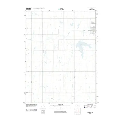 2010 Centralia2010 Print · USGSCentralia and the surrounding Nemaha County prairie are shown here in the early twenty-first century as the town's grid meets the rural landscape. Researchers can locate family sites at Centralia Cemetery and Mulberry Cemetery or trace the winding course of the Black Vermillion River.
 - 2011 Map of Liberty, 2011 Print
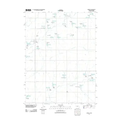 2011 Liberty2011 Print · USGSGage County agriculture and water management are at the forefront of this early 21st-century survey near the Kansas border. Researchers can trace family roots at the Liberty Cemetery or Tanner Cemetery and locate the Liberty Post Office in the heart of town.
 - 2011 Map of Pawnee City, 2011 Print
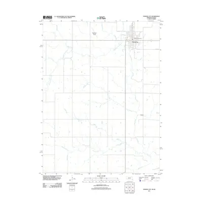 2011 Pawnee City2011 Print · USGSPawnee City and its surrounding rural sections are captured here in the early twenty-first century. Genealogists and local historians can trace family roots near Evergreen Cemetery or locate civic landmarks like the Pawnee City Post Office and Pawnee City Municipal Airport.
 - 2011 Map of Liberty SE, 2011 Print
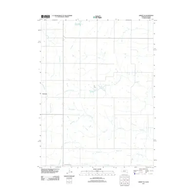 2011 Liberty SE2011 Print · USGSThe Nebraska-Kansas borderland is captured here in the early twenty-first century, showing the rural landscape of Marshall County. Genealogists and local historians can locate Summerfield Cemetery and trace the many drainages like Wildcat Creek and Plum Creek.
 - 2011 Map of Odell, 2011 Print
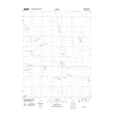 2011 Odell2011 Print · USGSSoutheastern Nebraska is captured in this early twenty-first-century survey as a region defined by managed waterways and border-straddling settlements. Genealogists can trace family footprints at the Czech National Cemetery, Saint Johns Cemetery, and the village of Lanham on the Kansas state line.
 - 2011 Map of Wymore, 2011 Print
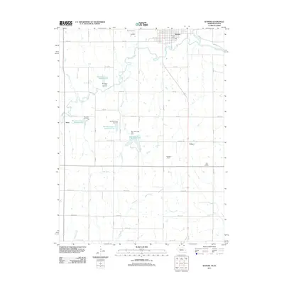 2011 Wymore2011 Print · USGSSoutheast Nebraska’s borderlands are mapped here at the start of the 2010s, showing the agricultural plains surrounding Wymore. Researchers can trace local burial grounds like Calvary Cemetery or the engineered waters of Big Indian Creek Reservoir 11-A.
 - 2011 Map of Barneston, 2011 Print
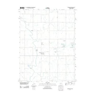 2011 Barneston2011 Print · USGSBarneston and the southern Gage County borderlands are shown here in the early 2010s as the Big Blue River snakes through the prairie. Researchers can locate Barneston Cemetery, the Barneston Post Office, and the industrial site of the Barneston Power Plant Dam.
 - 2012 Map of Herkimer, 2012 Print
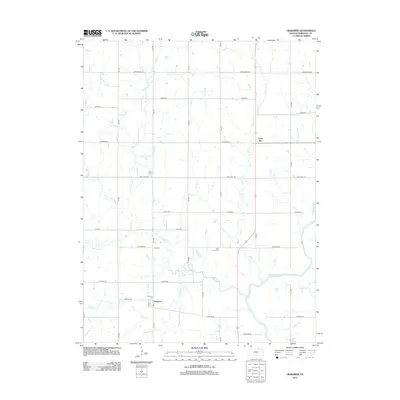 2012 Herkimer2012 Print · USGSThe rural landscape of Marshall County is shown here in the early twenty-first century, centered on the community of Herkimer. Local history researchers can pinpoint small-town landmarks and family burial sites like Zion Cemetery and Immanuel Cemetery.
 - 2012 Map of Baileyville, 2012 Print
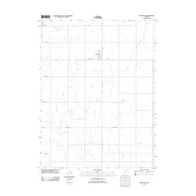 2012 Baileyville2012 Print · USGSNorthern Marshall County agriculture and small-town life are documented in this 2012 survey. Researchers can trace local roots at Sacred Heart Cem or follow the waters of the N Fork Black Vermillion River past Baileyville.
 - 2012 Map of Centralia, 2012 Print
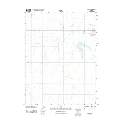 2012 Centralia2012 Print · USGSCentralia and the surrounding Nemaha County farmsteads are captured here in the early twenty-first century. Genealogists can locate family plots at Centralia Cem and Mulberry Cem, or trace the course of the Black Vermillion River through the agricultural grid.
 - 2012 Map of Oketo, 2012 Print
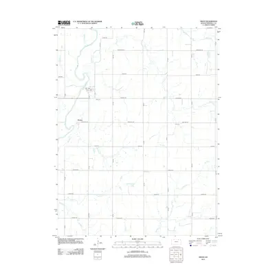 2012 Oketo2012 Print · USGSMarshall County's rural landscape is captured here in the early twenty-first century, centered on the Big Blue River corridor. Genealogists and local historians can trace family locations near Marietta, Oketo Cem, and the headwaters of Scotch Cr.
 - 2012 Map of Axtell NW, 2012 Print
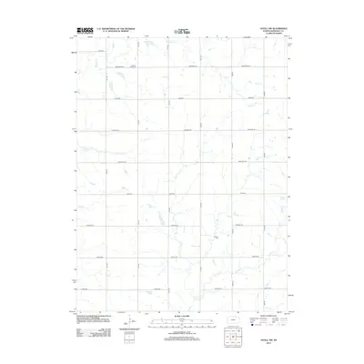 2012 Axtell NW2012 Print · USGSIn Marshall County during the early twenty-first century, this Kansas landscape preserves its long-standing rural structure. Genealogists and local historians can locate early family burial sites at Mission Creek Cem and Guittard Cem or trace the winding paths of Robidoux Cr and Murdock Cr.
 - 2012 Map of Home, 2012 Print
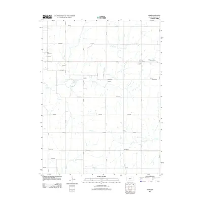 2012 Home2012 Print · USGSMarshall County agricultural life is captured here in the early twenty-first century as rural crossroads and section roads define the landscape. Local historians can locate the Home townsite, the Saint Gregorys Cem, and several creeks like Schell Cr.
 - 2012 Map of Summerfield, 2012 Print
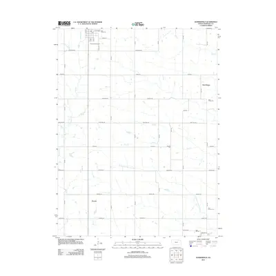 2012 Summerfield2012 Print · USGSThe rural borderlands of Marshall County are captured here in the early twenty-first century as the traditional agricultural grid persists. Researchers can locate family heritage sites at Holy Family Cem, Saint Bridget Cem, or the small settlement of Summit.
 - 2012 Map of Frankfort SW, 2012 Print
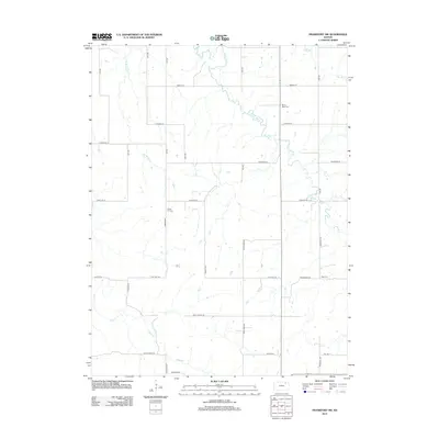 2012 Frankfort SW2012 Print · USGSPottawatomie County, Kansas, is documented here in the early 2010s as a landscape of established farmsteads and prairie streams. Genealogists and local researchers can locate significant rural burial sites like Mount Hope Cem, Cedar Hill Cem, and Berg Cem.
 - 2012 Map of Vermillion, 2012 Print
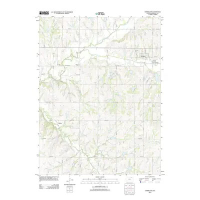 2012 Vermillion2012 Print · USGSVermillion and the surrounding Marshall County countryside are captured here in the early twenty-first century. Researchers can trace rural settlement patterns near Vliets, locate family plots at Morrison Cem, and follow the winding path of Irish Cr.
 - 2012 Map of Barnes, 2012 Print
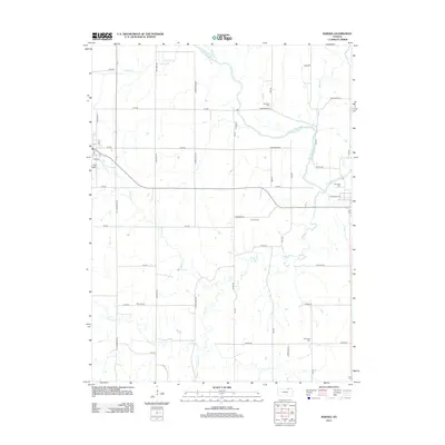 2012 Barnes2012 Print · USGSKansas farm country in the early 2010s is defined here by the winding Little Blue River and a steady grid of named rural roads. Researchers can locate several local burial sites, including Mound Cem, Harbaugh Cem, and Keefover Cem.
 - 2012 Map of Blue Rapids, 2012 Print
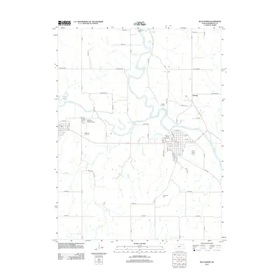 2012 Blue Rapids2012 Print · USGSMarshall County at the start of the 2010s shows a landscape defined by the convergence of the Big Blue River and Little Blue River. Researchers can locate historic landmarks like Alcove Spring and Independence Crossing alongside local sites like Fairmont Cem.
 - 2012 Map of Greenleaf SE, 2012 Print
 2012 Greenleaf SE2012 Print · USGSThe rural prairie of Riley County in the early twenty-first century is defined by its quiet settlements and rolling creek beds. Researchers can trace family history at Cottage Hill Cem, Spring Valley Cem, and the Fancy Creek Randolph Cem.
 - 2012 Map of Wheaton, 2012 Print
 2012 Wheaton2012 Print · USGSPottawatomie County’s rural townships are mapped here in the early twenty-first century, showing a landscape defined by agriculture and local history. Researchers can locate family sites near Lillis or trace lineage at Saint Josephs Catholic Cem and Clear Creek Cem.
 - 2012 Map of Blue Rapids SW, 2012 Print
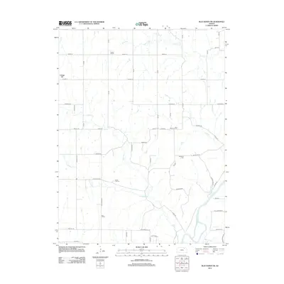 2012 Blue Rapids SW2012 Print · USGSCottage Hill and the rural townships of Marshall County are shown here as they appeared in the early twenty-first century. Researchers can trace ancestral roots through several local landmarks like Saint Wenceslaus Cem, Swede Creek Cem, and the banks of the Big Blue River.
 - 2012 Map of Seneca NW, 2012 Print
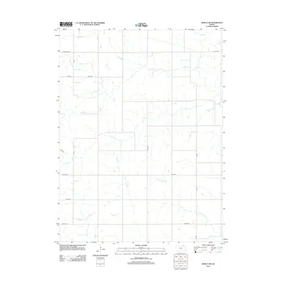 2012 Seneca NW2012 Print · USGSAgricultural lands in Marshall County are captured here in the early twenty-first century, showing the enduring grid of sectional roads. Local historians can trace the paths of Pole Cr, Negro Cr, and landmarks like St Bridget.
 - 2012 Map of Hanover SE, 2012 Print
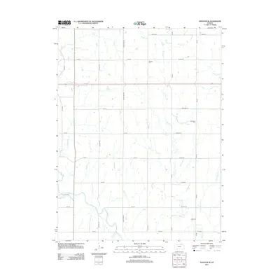 2012 Hanover SE2012 Print · USGSMarshall County is captured here in the early twenty-first century, showing a landscape defined by organized section roads and the winding Little Blue River. Genealogists and local researchers can locate family sites near Evergreen Cem, Pecenka Cem, or along the banks of Walnut Creek.
 - 2012 Map of Blue Rapids SE, 2012 Print
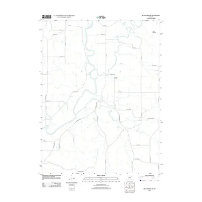 2012 Blue Rapids SE2012 Print · USGSRiley County at the start of the 2010s reveals a landscape defined by the winding Big Blue River and its many tributaries. Researchers can trace rural property access and landmarks like Proctor Cem, the prominent Twin Mounds, and the reach of Black Vermillion River.
 - 2012 Map of Duluth, 2012 Print
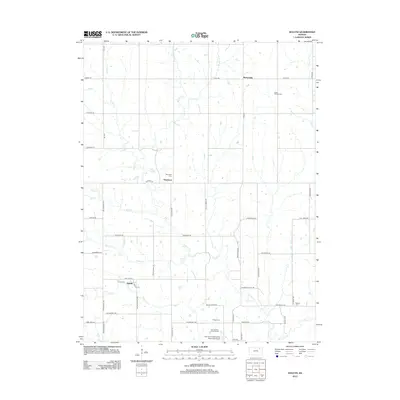 2012 Duluth2012 Print · USGSNemaha County farmland and rural settlements are captured here in the early twenty-first century as the traditional grid of section roads persists. Genealogists can locate several remote burial sites including Neuchatel Cem and Onega Cem near the banks of French Cr.
Showing maps 1-25 of 91
Top cities of Marshall County
- Marysville historical maps
- Blue Rapids historical maps
- Frankfort historical maps
- Waterville historical maps
- Axtell historical maps
- Beattie historical maps
See more
Frequently asked questions
- What are the different types of historical maps available for Marshall County?
- What is the oldest map of Marshall County?
- Where can I purchase historical maps of Marshall County for my home or office?
- Where can I download high-res historical maps of Marshall County?
- Are there historical topographic maps available for Marshall County?
- Is there historical aerial imagery available for Marshall County?
- Where are historical maps of Marshall County sourced from?