2010s Maps of Rooks County, Kansas
Explore 65 historic maps of Rooks County from the 2010s. These maps offer a rare glimpse into what life looked like during the 2010s — showing old roads, neighborhoods, homes, and landmarks that have changed or disappeared over time.
Whether you're researching your family's past, planning a metal detecting trip, or studying how Rooks County's landscape evolved across the 2010s, these high-resolution maps are a powerful tool for exploring the history of this region.
- Focus on a specific era: All maps on this page are from the 2010s, giving you a focused view of this time period.
- See what’s changed: Compare century-old streets, trails, and buildings to today's modern landscape using overlays and satellite layers.
- Research with precision: Use these maps for genealogy, historical research, land use analysis, or educational projects.
- View, download, or print: Maps are fully viewable online in high resolution, and can be downloaded or printed for your own records.
Start exploring Rooks County's history through authentic maps from the 2010s. This is your window into the past.
Rooks County, KS maps
(65)- 2010 Map of Stockton SW, 2010 Print
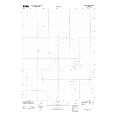 2010 Stockton SW2010 Print · USGSRooks County’s rural agricultural landscape and petroleum industry are clearly mapped here at the beginning of the 21st century. Researchers can trace local lineage at Eureka Cemetery or locate industrial sites like the Hayden Oil Field and Barry Oil Field.
 - 2010 Map of Kirwin SW, 2010 Print
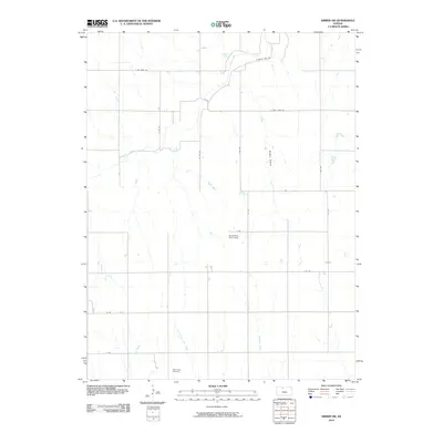 2010 Kirwin SW2010 Print · USGSPhillips County in the early twenty-first century maintains its quiet agricultural character and section-line road network. Researchers can trace family roots at West Hope Cemetery or follow the paths of Bow Creek and Hungry Hollow.
 - 2010 Map of Webster Dam, 2010 Print
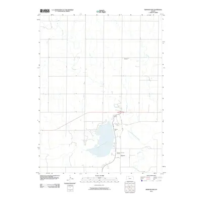 2010 Webster Dam2010 Print · USGSThe Rooks County landscape is captured here in the early twenty-first century, centered on the engineering of the Webster Dam. Researchers can locate family sites at Webster Cemetery and Mount Vernon Cemetery or trace the original paths of Sand Creek and Ash Creek.
 - 2010 Map of Plainville, 2010 Print
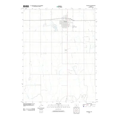 2010 Plainville2010 Print · USGSPlainville and its surrounding agricultural lands are captured here in the early twenty-first century. Researchers can locate family sites near the Plainville Cemetery or trace the waters of Plainville Township Lake and Paradise Creek across the township.
 - 2010 Map of Natoma, 2010 Print
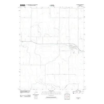 2010 Natoma2010 Print · USGSNatoma and the surrounding Osborne County prairie are documented here in the early twenty-first century. Researchers can trace local lineage at Natoma Cemetery and Conger Cemetery or follow the natural drainage of Paradise Creek across the township.
 - 2012 Map of Glade SE, 2012 Print
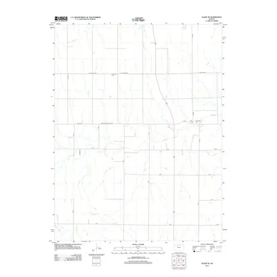 2012 Glade SE2012 Print · USGSPhillips County is captured here in the early twenty-first century, showing a rural landscape defined by prairie streams and section-line roads. Researchers can locate family landmarks like Lockwood Cem and Bow Creek Cem along the banks of Bow Cr.
 - 2012 Map of Codell, 2012 Print
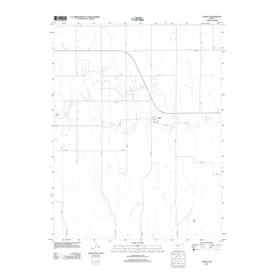 2012 Codell2012 Print · USGSCodell and the rural plains of Rooks County are shown in detail during the early twenty-first century. Researchers can locate local landmarks including Shiloh Cem, Conger Cem, and the winding path of Paradise Cr.
 - 2012 Map of Woodston, 2012 Print
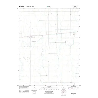 2012 Woodston2012 Print · USGSThe community of Woodston sits at a geographic crossroads along the S Fork Solomon River in the early twenty-first century. Family historians can trace local landmarks like Pleasant Valley Cem and the central PO.
 - 2012 Map of Twin Mound, 2012 Print
 2012 Twin Mound2012 Print · USGSRooks County, Kansas, is captured here in the early twenty-first century, showing a remote agricultural landscape organized by its characteristic grid. Family historians can locate small rural burial grounds like Survey Cem, Johnson Cem, and the namesake Twin Mound Cem.
 - 2012 Map of Kirwin SE, 2012 Print
 2012 Kirwin SE2012 Print · USGSOsborne County in the early twenty-first century remains a landscape of disciplined section lines and meandering prairie waterways. Genealogists can locate family burial sites at Bohemian Cem, Ash Rock Cem, and Spring Branch Cem along the Medicine Cr drainage.
 - 2012 Map of Glade SW, 2012 Print
 2012 Glade SW2012 Print · USGSPhillips County in the early twenty-first century remains a landscape of agricultural order and quiet prairie drainages. Genealogists and local historians can pinpoint Plainview Cem or trace the winding paths of Bow Cr and Ash Cr.
 - 2012 Map of Woodston NW, 2012 Print
 2012 Woodston NW2012 Print · USGSThe South Fork Solomon River valley in Rooks County is captured here in the early twenty-first century, showing the enduring grid of the Kansas prairie. Researchers can locate Woodstown Cem and trace the drainage of Jim Cr and Medicine Cr through the local terraces.
 - 2012 Map of Laton, 2012 Print
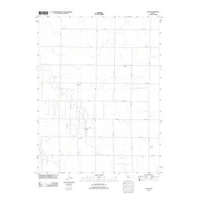 2012 Laton2012 Print · USGSRooks County rural life is captured here in the early twenty-first century, showing the settlement of Laton amidst its traditional prairie grid. Genealogists and local historians can locate several family and community landmarks, such as Chalk Mound Cem and Aurora Cem.
 - 2012 Map of Wild Horse Creek, 2012 Print
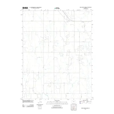 2012 Wild Horse Creek2012 Print · USGSRooks County reveals its modern agricultural footprint and rural road network in the years following the turn of the millennium. Researchers can trace the path of Spring Cr as it cuts through the structured grid of regional farm roads.
 - 2012 Map of Palco, 2012 Print
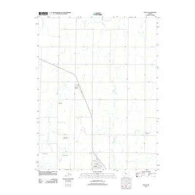 2012 Palco2012 Print · USGSRooks County life in the early 21st century is defined by the intersection of high-plains agriculture and the local oil industry. Researchers can trace property lines along the lettered road grid or locate family sites near Saint Joseph Cem, Palco Cem, and the Gra-Rook Oil Field.
 - 2012 Map of Stockton SE, 2012 Print
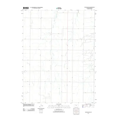 2012 Stockton SE2012 Print · USGSRooks County agricultural lands are documented here in the early twenty-first century, showing the enduring grid of the High Plains. Genealogists and local historians can trace family land holdings relative to Boxelder Creek or along section roads like N Terrace and 18 Road.
 - 2012 Map of Logan SE, 2012 Print
 2012 Logan SE2012 Print · USGSPhillips County agricultural lands are documented here in the early twenty-first century, centered on the drainage of Bow Cr. Researchers can locate Prairie Dale Cem or trace rural infrastructure along W Cozy Cove Rd and A RD.
 - 2012 Map of Zurich, 2012 Print
 2012 Zurich2012 Print · USGSRooks County agricultural lands and the small community of Zurich are documented here in the early twenty-first century. Researchers can trace local lineage at Zurich Cem and follow the drainage of Sand Cr across the section-line road grid.
 - 2012 Map of Stockton, 2012 Print
 2012 Stockton2012 Print · USGSThe Rooks County seat at Stockton is captured here along the South Fork Solomon River in the early 2010s. Genealogists and local historians can locate Old Stockton Cem, Saint Thomas Cem, and the Rooks County Fairgrounds within this detailed section-line grid.
 - 2012 Map of Stockton SW, 2012 Print
 2012 Stockton SW2012 Print · USGSRooks County at the start of the decade reveals a landscape defined by its rural road grid and deep ties to the energy industry. Genealogists and historians can locate Eureka Cem or trace the extent of the Webster Oil Field and Hayden Oil Field.
 - 2012 Map of Plainville, 2012 Print
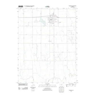 2012 Plainville2012 Print · USGSPlainville and the surrounding Rooks County plains are captured here in the early twenty-first century. Genealogists and local historians can trace family locations near Plainville Cem or follow the waters of Paradise Cr and Plainville Township Lake.
 - 2012 Map of Natoma, 2012 Print
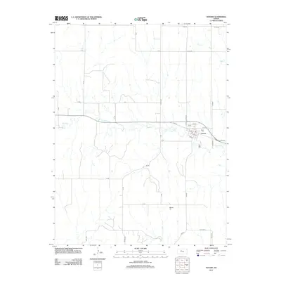 2012 Natoma2012 Print · USGSThe northern Kansas prairie and the community of Natoma are captured here in the early twenty-first century. Genealogists and local researchers can trace the town’s layout, locate the PO, and find family landmarks like Naomi Cem and Mount Os.
 - 2012 Map of Kirwin SW, 2012 Print
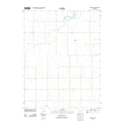 2012 Kirwin SW2012 Print · USGSThe rural expanses of northern Kansas are documented here in the early twenty-first century, showing the intricate drainage of the High Plains. Genealogists and local historians can locate W Hope Cem and trace the winding paths of Bow Cr and Hungry Hollow.
 - 2012 Map of Webster Dam, 2012 Print
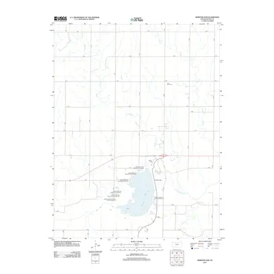 2012 Webster Dam2012 Print · USGSRooks County in the early twenty-first century is defined by the massive Webster Reservoir and its modern recreational infrastructure. Researchers can locate specific legacy sites like Mount Vernon Cemetery or trace the original course of the S Fork Solomon River.
 - 2012 Map of Nicodemus, 2012 Print
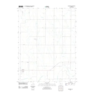 2012 Nicodemus2012 Print · USGSNicodemus and the surrounding Graham County plains are captured here in the early twenty-first century. Researchers can locate significant sites including the Nicodemus Cem, La Sage Oil Field, and the headwaters of the Webster Reservoir.
Showing maps 1-25 of 65
Top cities of Rooks County
- Plainville historical maps
- Stockton historical maps
- Palco historical maps
- Damar historical maps
- Zurich historical maps
- Woodston historical maps
Frequently asked questions
- What are the different types of historical maps available for Rooks County?
- What is the oldest map of Rooks County?
- Where can I purchase historical maps of Rooks County for my home or office?
- Where can I download high-res historical maps of Rooks County?
- Are there historical topographic maps available for Rooks County?
- Is there historical aerial imagery available for Rooks County?
- Where are historical maps of Rooks County sourced from?