2000s (21st Century) Maps of Cameron Parish, Louisiana
Explore 241 historic maps of Cameron Parish from the 2000s (21st Century). These maps offer a rare glimpse into what life looked like during the 2000s — showing old roads, neighborhoods, homes, and landmarks that have changed or disappeared over time.
Whether you're researching your family's past, planning a metal detecting trip, or studying how Cameron Parish's landscape evolved across the 2000s, these high-resolution maps are a powerful tool for exploring the history of this region.
- Focus on a specific era: All maps on this page are from the 2000s, giving you a focused view of this time period.
- See what’s changed: Compare century-old streets, trails, and buildings to today's modern landscape using overlays and satellite layers.
- Research with precision: Use these maps for genealogy, historical research, land use analysis, or educational projects.
- View, download, or print: Maps are fully viewable online in high resolution, and can be downloaded or printed for your own records.
Start exploring Cameron Parish's history through authentic maps from the 2000s. This is your window into the past.
Cameron Parish, LA maps
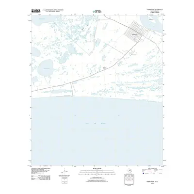
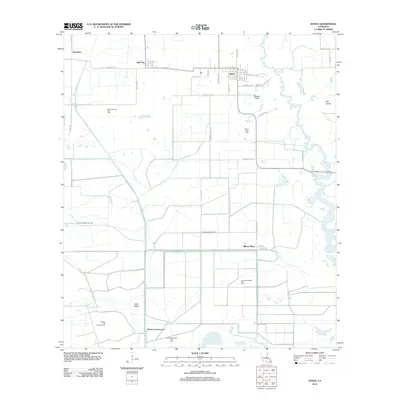
(241)- 2010 Map of Orange, 2010 Print
 2010 Orange2010 Print · USGSCovers Cameron Parish, including Orange, West Orange, and other nearby areas
 - 2010 Map of Orangefield, 2010 Print
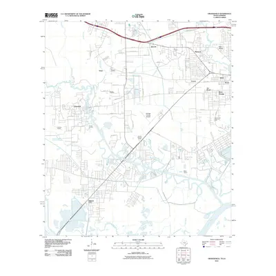 2010 Orangefield2010 Print · USGSCovers Cameron Parish, including Port Arthur, Orange, and other nearby areas
 - 2010 Map of Texas Point, 2010 Print
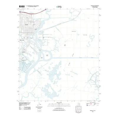
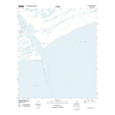 2010 Texas Point2010 Print · USGSCovers Cameron Parish, including Port Arthur, Sabine, and other nearby areas
 - 2010 Map of Port Arthur South, 2010 Print
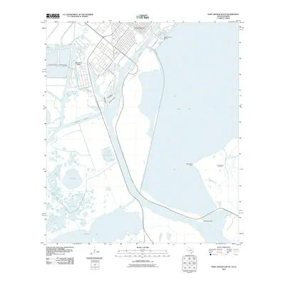 2010 Port Arthur South2010 Print · USGSCovers Cameron Parish, including Port Arthur, West Port Arthur, and other nearby areas
 - 2010 Map of Sabine Pass, 2010 Print
 2010 Sabine Pass2010 Print · USGSCovers Cameron Parish, including Port Arthur, Sabine Pass, and other nearby areas
 - 2010 Map of West of Greens Bayou, 2010 Print
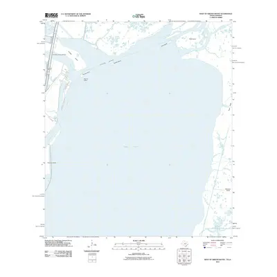 2010 West of Greens Bayou2010 Print · USGSCovers Cameron Parish, including Port Arthur, Bridge City, and other nearby areas
 - 2010 Map of West of Johnson Bayou, 2010 Print
 2010 West of Johnson Bayou2010 Print · USGSCovers Cameron Parish, including Port Arthur, Jefferson County, and other nearby areas
 - 2012 Map of Creole, 2012 Print
 2012 Creole2012 Print · USGSCovers Cameron Parish, including Creole, Oak Grove, and other nearby areas
 - 2012 Map of Cameron, 2012 Print
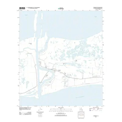 2012 Cameron2012 Print · USGSCovers Cameron Parish, including Cameron, United States, and other nearby areas
 - 2012 Map of Peveto Beach, 2012 Print
 2012 Peveto Beach2012 Print · USGSCovers Cameron Parish, including Constance Beach, Peveto Beach, and other nearby areas
 - 2012 Map of Greens Bayou, 2012 Print
 2012 Greens Bayou2012 Print · USGSCovers Cameron Parish, including Lone Pine, United States, and other nearby areas
 - 2012 Map of Boudreaux Lake, 2012 Print
 2012 Boudreaux Lake2012 Print · USGSCovers Cameron Parish, including Gibbstown, United States, and other nearby areas
 - 2012 Map of Holly Beach, 2012 Print
 2012 Holly Beach2012 Print · USGSCovers Cameron Parish, including Holly Beach, United States, and other nearby areas
 - 2012 Map of West of Johnson Bayou, 2012 Print
 2012 West of Johnson Bayou2012 Print · USGSCovers Cameron Parish, including Port Arthur, Jefferson County, and other nearby areas
 - 2012 Map of Browns Lake, 2012 Print
 2012 Browns Lake2012 Print · USGSCovers Cameron Parish, including Hackberry, United States, and other nearby areas
 - 2012 Map of Hackberry, 2012 Print
 2012 Hackberry2012 Print · USGSCovers Cameron Parish, including Hackberry, United States, and other nearby areas
 - 2012 Map of F-R Ranch, 2012 Print
 2012 F-R Ranch2012 Print · USGSCovers Cameron Parish, including Hackberry, United States, and other nearby areas
 - 2012 Map of Sweet Lake, 2012 Print
 2012 Sweet Lake2012 Print · USGSCovers Cameron Parish, including Sweet Lake, United States, and other nearby areas
 - 2012 Map of Grand Bayou, 2012 Print
 2012 Grand Bayou2012 Print · USGSCovers Cameron Parish, including United States, Louisiana, and other nearby areas
 - 2012 Map of Johnson Bayou, 2012 Print
 2012 Johnson Bayou2012 Print · USGSCovers Cameron Parish, including Johnsons Bayou, United States, and other nearby areas
 - 2012 Map of Smith Bayou, 2012 Print
 2012 Smith Bayou2012 Print · USGSCovers Cameron Parish, including United States, Louisiana, and other nearby areas
 - 2012 Map of Hayes, 2012 Print
 2012 Hayes2012 Print · USGSCovers Cameron Parish, including Hayes, Rossignol, and other nearby areas
 - 2012 Map of Thornwell, 2012 Print
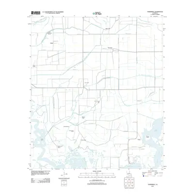 2012 Thornwell2012 Print · USGSCovers Cameron Parish, including Lowry, Thornwell, and other nearby areas
 - 2012 Map of Lake Arthur, 2012 Print
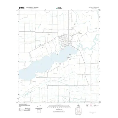 2012 Lake Arthur2012 Print · USGSCovers Cameron Parish, including Lake Arthur, Laurents Point, and other nearby areas
 - 2012 Map of Hog Bayou, 2012 Print
 2012 Hog Bayou2012 Print · USGSCovers Cameron Parish, including United States, Louisiana, and other nearby areas
Showing maps 1-25 of 241
Top cities of Cameron Parish
Frequently asked questions
- What are the different types of historical maps available for Cameron Parish?
- What is the oldest map of Cameron Parish?
- Where can I purchase historical maps of Cameron Parish for my home or office?
- Where can I download high-res historical maps of Cameron Parish?
- Are there historical topographic maps available for Cameron Parish?
- Is there historical aerial imagery available for Cameron Parish?
- Where are historical maps of Cameron Parish sourced from?