2020s Maps of Cameron Parish, Louisiana
Explore 99 historic maps of Cameron Parish from the 2020s. These maps offer a rare glimpse into what life looked like during the 2020s — showing old roads, neighborhoods, homes, and landmarks that have changed or disappeared over time.
Whether you're researching your family's past, planning a metal detecting trip, or studying how Cameron Parish's landscape evolved across the 2020s, these high-resolution maps are a powerful tool for exploring the history of this region.
- Focus on a specific era: All maps on this page are from the 2020s, giving you a focused view of this time period.
- See what’s changed: Compare century-old streets, trails, and buildings to today's modern landscape using overlays and satellite layers.
- Research with precision: Use these maps for genealogy, historical research, land use analysis, or educational projects.
- View, download, or print: Maps are fully viewable online in high resolution, and can be downloaded or printed for your own records.
Start exploring Cameron Parish's history through authentic maps from the 2020s. This is your window into the past.
Cameron Parish, LA maps
(99)- 2020 Map of Catfish Lake, 2020 Print
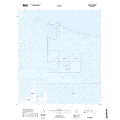 2020 Catfish Lake2020 Print · USGSCameron Parish at the turn of the decade reveals a coastal landscape of intricate bayous and isolated ridges. Researchers can trace the geography of the wetlands through family-named landmarks like Hackberry Ridge and the Little Pecan Island Airport.
 - 2020 Map of Smith Bayou, 2020 Print
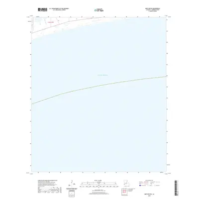 2020 Smith Bayou2020 Print · USGSCoastal Louisiana's marshy interface with the Gulf of Mexico is captured here in the contemporary era. Trace the path of Smith Bayou as it threads through the wetlands within the T15S R14W township boundaries.
 - 2020 Map of Hackberry, 2020 Print
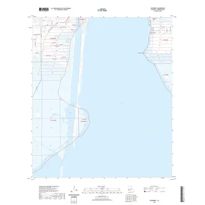 2020 Hackberry2020 Print · USGSCameron Parish's coastal wetlands and the Hackberry community are shown in detail during the early 2020s. Researchers can trace the town's layout near the Post Office or explore the surrounding marsh landmarks like Billy Goat Ridge and the Calcasieu Ship Channel.
 - 2020 Map of Hog Bayou, 2020 Print
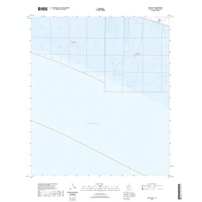 2020 Hog Bayou2020 Print · USGSCoastal Cameron Parish at the start of the 2020s shows a landscape defined by marshland and Gulf tides. Researchers can trace the thin line of human infrastructure along 82 and the Grand Chenier Ridge above Hog Bayou and Crab Lake.
 - 2020 Map of West of Johnson Bayou, 2020 Print
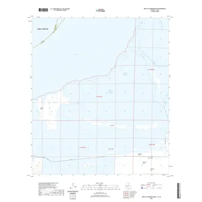 2020 West of Johnson Bayou2020 Print · USGSThe Texas and Louisiana borderlands come into focus in this contemporary survey of the coastal marsh east of Port Arthur. Genealogists and historians can trace family-named landmarks and chenier ridges like Garrison Ridge, Salt Work Ridge, and Madame Johnson Bayou.
 - 2020 Map of Sweet Lake, 2020 Print
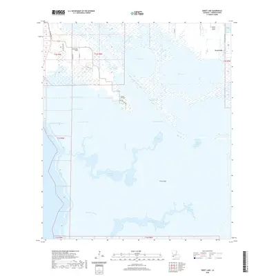 2020 Sweet Lake2020 Print · USGSCoastal Louisiana in the modern era reveals a landscape of ridges and marshlands shaped by water and engineering. Researchers can trace local landmarks like Grosse Savanne and Chute N Gators Airport alongside the heavy industrial footprint of the Intracoastal Waterway.
 - 2020 Map of Holly Beach, 2020 Print
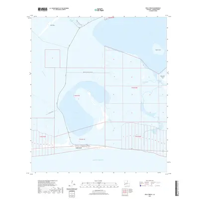 2020 Holly Beach2020 Print · USGSCoastal Cameron Parish at the turn of the decade shows the resilient settlement of Holly Beach as it interfaces with the Gulf. Researchers can trace the local street grid and coastal infrastructure reaching toward Mud Lake, Rabbit Island, and the Wetland Walkway Trail.
 - 2020 Map of Lake Misere, 2020 Print
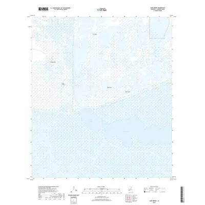 2020 Lake Misere2020 Print · USGSCoastal Cameron Parish at the start of the 2020s shows a landscape dominated by marsh and major water management. Researchers can trace the path of the Intracoastal Waterway and locate named rises like Jims Ridge and Mango Ridge.
 - 2020 Map of Mallard Bay, 2020 Print
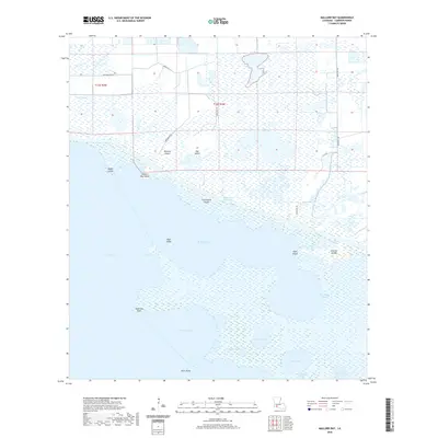 2020 Mallard Bay2020 Print · USGSCameron Parish's coastal marshlands are mapped here in the modern era, showing the intricate intersection of land and water. Trace the Intracoastal Waterway through Maple Marsh or locate secluded points like Perreau Island and Five Bayou Cypress.
 - 2020 Map of Lake Le Bleu, 2020 Print
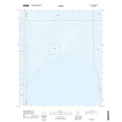 2020 Lake Le Bleu2020 Print · USGSThe Louisiana marshlands of Vermilion Parish are mapped here as they appeared in 2020, dominated by the expanse of White Lake. Researchers can trace the traditional water routes of the wetlands, including the Noah Pirogue Trail, Blackfish Bayou, and the Florence Canal.
 - 2020 Map of Greens Bayou, 2020 Print
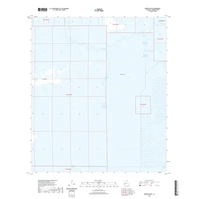 2020 Greens Bayou2020 Print · USGSCameron Parish wetlands are documented in recent detail as they appeared just a few years ago. Trace the intersection of natural waterways like Greens Bayou and human-made landmarks including Starks North Canal and the settlement of Lone Pine.
 - 2020 Map of Cow Island OE S, 2020 Print
 2020 Cow Island OE S2020 Print · USGSCoastal waters south of Louisiana are the primary focus of this offshore survey from recent years. Genealogists and maritime researchers can trace the maritime boundaries of Cameron Parish and the open expanse of the Gulf of Mexico.
 - 2020 Map of Big Constance Lake, 2020 Print
 2020 Big Constance Lake2020 Print · USGSThe coastal fringe of southern Louisiana is captured here in the years following the turn of the millennium. Researchers can trace the winding paths of Little Constance Bayou and Dyson Bayou as they feed into the Gulf of Mexico.
 - 2020 Map of Grand Bayou, 2020 Print
 2020 Grand Bayou2020 Print · USGSCoastal Louisiana marshes and ridges meet the Gulf in the 2020s, revealing a landscape shaped by water and elevation. Researchers can trace local lineage through sites like First Baptist Cem and family-named routes such as Leonce Nunez Rd along Front Ridge.
 - 2020 Map of Collicon Lake, 2020 Print
 2020 Collicon Lake2020 Print · USGSCoastal Cameron Parish at the start of the 2020s remains a wilderness of interconnected marshes, bayous, and large open lakes. Researchers can trace the drainage patterns and historical landmarks of this wetland landscape, including Eagle Island, Cheniere du Fond, and the Blackfish Canal.
 - 2020 Map of Johnson Bayou, 2020 Print
 2020 Johnson Bayou2020 Print · USGSCoastal Cameron Parish at the start of the 2020s shows a complex geography of ridges and marshes along the Gulf of Mexico. Researchers can trace local history through sites like Peveto Cem and landmarks such as Smith Ridge and Salt Work Ridge.
 - 2020 Map of Latania Lake, 2020 Print
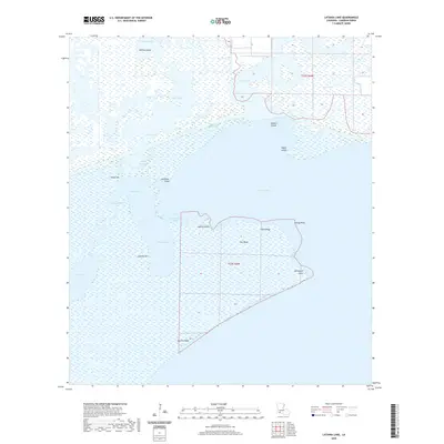 2020 Latania Lake2020 Print · USGSCameron Parish at the start of the 2020s remains a world defined by the water and marsh of the Gulf Coast. Researchers can trace the engineering of the Intracoastal Waterway and locate landmarks like Hackberry Point, Onion Hill, and Maple Marsh.
 - 2020 Map of Boudreaux Lake, 2020 Print
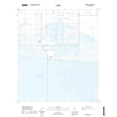 2020 Boudreaux Lake2020 Print · USGSThe coastal marshlands of Cameron Parish are documented here in the early twenty-first century, centered on the transit hub of Gibbstown. Genealogists and historians can trace local landmarks like Granger Cem and the unique terrain of Savanne Neuville Island.
 - 2020 Map of Browns Lake, 2020 Print
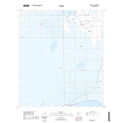 2020 Browns Lake2020 Print · USGSCameron Parish and the settlement of Hackberry are shown here in the 2020s, a landscape defined by saltwater marshes and tidal basins. Researchers can trace family-named landmarks and local infrastructure like Johnny Benoit Rd, Lost Ridge, and the West Cove Canal.
 - 2020 Map of Floating Turf Bayou, 2020 Print
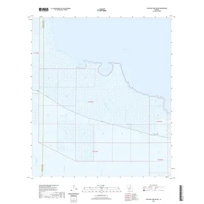 2020 Floating Turf Bayou2020 Print · USGSCoastal Vermilion Parish is shown here in the modern era, where the ridge of Pecan Island rises above the surrounding marshes. Researchers can trace the intersection of natural waterways like Floating Turf Bayou with drainage projects like Big Pecan Ditch.
 - 2020 Map of Creole, 2020 Print
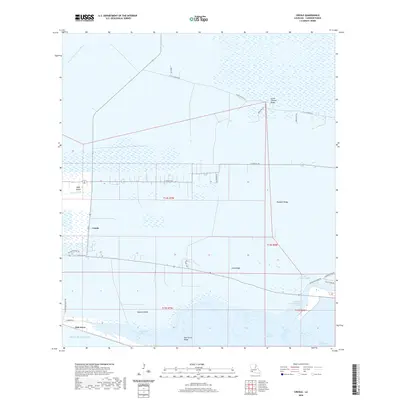 2020 Creole2020 Print · USGSCameron Parish at the start of the 2020s shows a landscape of chenier ridges and coastal marshes along the Gulf. Trace family lands and local geography along Little Chenier Ridge and around the settlements of Creole and Oak Grove.
 - 2020 Map of Cow Island, 2020 Print
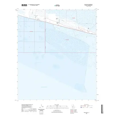 2020 Cow Island2020 Print · USGSCoastal Cameron Parish in the early 21st century is defined by thin ridges rising above the gulf marshes. Genealogists and local historians can trace family ties at Saint Eugene Cem and Circle Cem or follow the path of LA 82 along Grand Chenier Ridge.
 - 2020 Map of Peveto Beach, 2020 Print
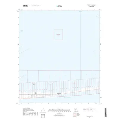 2020 Peveto Beach2020 Print · USGSThe Cameron Parish coastline is captured here in recent years, showing the narrow settlement of Peveto Beach along the Gulf of Mexico. Researchers can trace the layout of coastal ridges like Eli Ridge and McDermott Ridge alongside Beach Canal.
 - 2020 Map of Latanier Bayou, 2020 Print
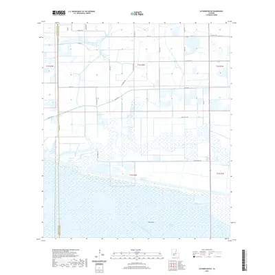 2020 Latanier Bayou2020 Print · USGSThe coastal marshlands and drainage networks of southern Vermilion Parish are shown here in the contemporary era. Researchers can trace land ownership through family-named routes like Monceaux Rd or locate the historic Gueydan Cem near the Intracoastal Waterway.
 - 2020 Map of Deep Lake, 2020 Print
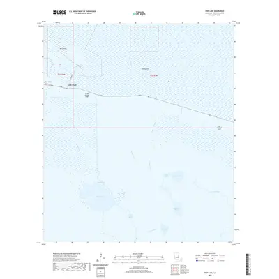 2020 Deep Lake2020 Print · USGSCameron Parish's coastal marshlands are mapped here in the early twenty-first century, showing the critical transport corridor of Grand Chenier Ridge. Genealogists and researchers can trace local hydrology through features like North Island, Deep Lake, and Money Island.
Showing maps 1-25 of 99
Top cities of Cameron Parish
Frequently asked questions
- What are the different types of historical maps available for Cameron Parish?
- What is the oldest map of Cameron Parish?
- Where can I purchase historical maps of Cameron Parish for my home or office?
- Where can I download high-res historical maps of Cameron Parish?
- Are there historical topographic maps available for Cameron Parish?
- Is there historical aerial imagery available for Cameron Parish?
- Where are historical maps of Cameron Parish sourced from?