2010s Maps of Cameron Parish, Louisiana
Explore 142 historic maps of Cameron Parish from the 2010s. These maps offer a rare glimpse into what life looked like during the 2010s — showing old roads, neighborhoods, homes, and landmarks that have changed or disappeared over time.
Whether you're researching your family's past, planning a metal detecting trip, or studying how Cameron Parish's landscape evolved across the 2010s, these high-resolution maps are a powerful tool for exploring the history of this region.
- Focus on a specific era: All maps on this page are from the 2010s, giving you a focused view of this time period.
- See what’s changed: Compare century-old streets, trails, and buildings to today's modern landscape using overlays and satellite layers.
- Research with precision: Use these maps for genealogy, historical research, land use analysis, or educational projects.
- View, download, or print: Maps are fully viewable online in high resolution, and can be downloaded or printed for your own records.
Start exploring Cameron Parish's history through authentic maps from the 2010s. This is your window into the past.
Cameron Parish, LA maps
(142)- 2010 Map of Orange, 2010 Print
 2010 Orange2010 Print · USGSThe coastal industrial hub of Orange and its surrounding bayous are captured here in the early twenty-first century. Researchers can trace local heritage at Hollywood Cemetery or explore the energy infrastructure of the Phoenix Lake Oil Field and the Sabine River shipping corridor.
 - 2010 Map of Orangefield, 2010 Print
 2010 Orangefield2010 Print · USGSSoutheast Texas at the turn of the decade shows a landscape where bayous and industry meet growing coastal communities. Genealogists and historians can locate numerous burial sites like Granger Cemetery and trace the paths of Cow Bayou and the Shell Canal.
 - 2010 Map of Texas Point, 2010 Print
 2010 Texas Point2010 Print · USGSCoastal Jefferson County at the end of the first decade of the millennium shows the critical intersection of maritime industry and marshland ecology. Genealogists and maritime historians can trace the development of Sabine, the Texas Menhaden Strip, and the engineering of the West Jetty.
 - 2010 Map of Port Arthur South, 2010 Print
 2010 Port Arthur South2010 Print · USGSJefferson County's industrial coastline is captured here in the early twenty-first century, showing the intricate network of canals and oil infrastructure. Researchers can trace the layout of West Port Arthur or locate maritime landmarks like Texaco Island and the Pleasure Island Marina.
 - 2010 Map of Sabine Pass, 2010 Print
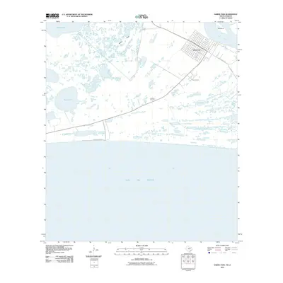 2010 Sabine Pass2010 Print · USGSThe Texas coast near Port Arthur comes alive in this survey of a critical maritime gateway. Genealogists and historians can trace the streets of Sabine Pass, locate the Pace Cemetery, and follow the shoreline from Point Hunt to the Gulf of Mexico.
 - 2010 Map of West of Greens Bayou, 2010 Print
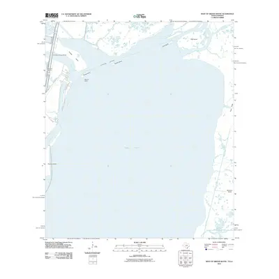 2010 West of Greens Bayou2010 Print · USGSThe Texas-Louisiana borderlands at the start of the 2010s are defined by the meeting of the Neches and Sabine rivers. Researchers can trace maritime infrastructure and coastal landforms from the Port Arthur-Orange Bridge to Marceaux Island and Rainbow Marina.
 - 2010 Map of West of Johnson Bayou, 2010 Print
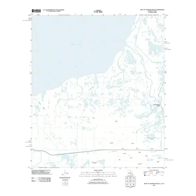 2010 West of Johnson Bayou2010 Print · USGSCoastal Louisiana near the Texas border is depicted here in the early twenty-first century, showing a landscape defined by marshy ridges and bayous. Researchers can trace landforms like Garrison Ridge or locate industrial sites such as the West Johnson Bayou Gas Field.
 - 2012 Map of Creole, 2012 Print
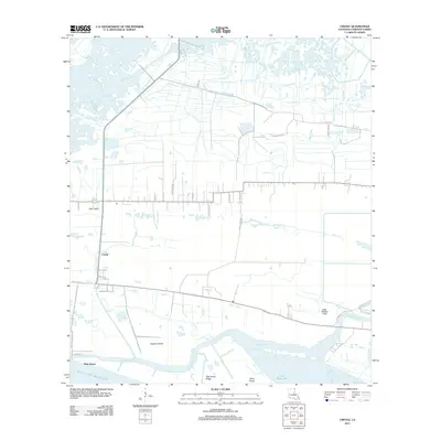 2012 Creole2012 Print · USGSCoastal Cameron Parish in the early 2010s reveals a landscape where life follows the natural elevations of the marsh. Researchers can trace the layout of Creole and Oak Grove along the Mermentau River and find family-named routes like Nunez Rd and Trosclair Rd.
 - 2012 Map of Cameron, 2012 Print
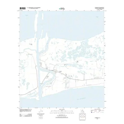 2012 Cameron2012 Print · USGSCoastal Cameron Parish at the start of the 2010s shows a landscape defined by the energy industry and the shifting waters of the Gulf coast. Genealogists and local historians can locate several local burial sites including Wakefield Memorial Cem and Our Lady Cem, or trace landmarks like the Calcasieu Light.
 - 2012 Map of Peveto Beach, 2012 Print
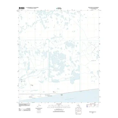 2012 Peveto Beach2012 Print · USGSThe Cameron Parish coastline in the early 2010s shows a landscape of coastal communities and energy infrastructure. Researchers can trace the development of Constance Beach and Peveto Beach alongside industrial landmarks like the Second Bayou Gas Field.
 - 2012 Map of Greens Bayou, 2012 Print
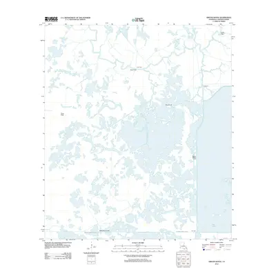 2012 Greens Bayou2012 Print · USGSThe marshy expanses of Cameron Parish are captured here during the early twenty-first century, showing a landscape defined by water and remote outposts. Researchers can trace the legacy of coastal camps like Lone Pine and Tee Camp and the path of the Burton-Sutton Canal.
 - 2012 Map of Boudreaux Lake, 2012 Print
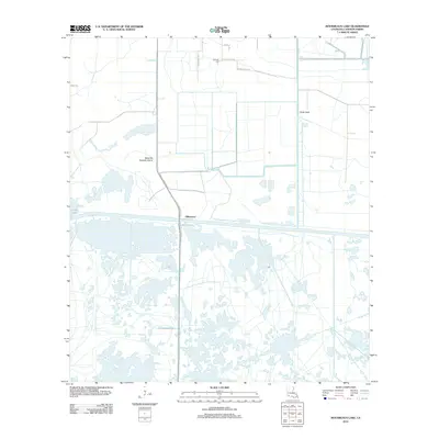 2012 Boudreaux Lake2012 Print · USGSGibbstown and the surrounding Cameron Parish wetlands are captured here in the early twenty-first century. Researchers can trace family roots at Granger Cem or follow the development of the coastal landscape along Old Ferry Rd and Sweet Lake.
 - 2012 Map of Holly Beach, 2012 Print
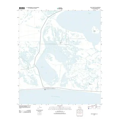 2012 Holly Beach2012 Print · USGSThe Louisiana coast near the turn of the decade reveals a delicate balance between gulf-side settlement and the energy industry. Researchers can trace the layout of Holly Beach or locate regional industrial sites like the Mud Lake Gas Field and East Mud Lake Gas Field.
 - 2012 Map of West of Johnson Bayou, 2012 Print
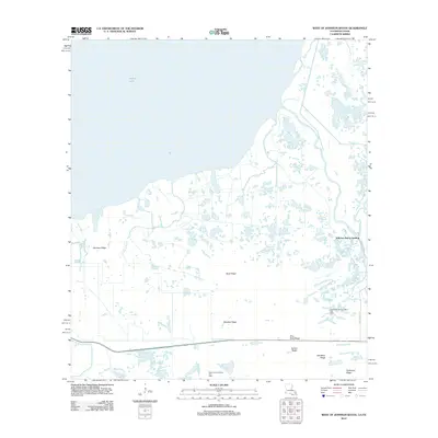 2012 West of Johnson Bayou2012 Print · USGSThe Louisiana-Texas coastal marshland comes into focus in this early twenty-first-century survey. Genealogists and researchers can trace family-named landforms like Garrison Ridge and Garner Ridge or locate energy sites like the Northwest Johnson Bayou Gas Field.
 - 2012 Map of Browns Lake, 2012 Print
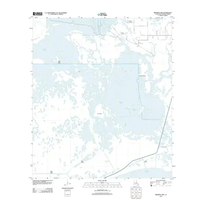 2012 Browns Lake2012 Print · USGSCoastal Louisiana at the start of the 2010s reveals a complex landscape of energy infrastructure and marshland geography. Genealogists and historians can trace local family routes like Maggie Hebert Rd or locate the West Hackberry Strategic Petroleum Reserve near Browns Lake.
 - 2012 Map of Hackberry, 2012 Print
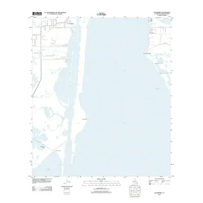 2012 Hackberry2012 Print · USGSCameron Parish's coastal marshes and maritime settlements are captured here in the early twenty-first century. Genealogists and local historians can trace family road names and remote outposts like West Cove Camp, Billy Goat Ridge, and the residential heart of Hackberry.
 - 2012 Map of F-R Ranch, 2012 Print
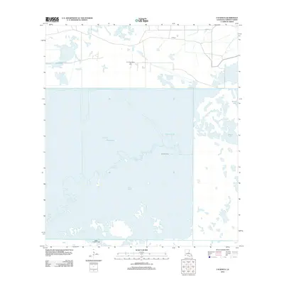 2012 F-R Ranch2012 Print · USGSCameron Parish's coastal marshlands and energy infrastructure are captured here in the early twenty-first century. Researchers can trace local industry and land use through the South Black Bayou Oil Field, the F-R Ranch, and the isolated Starks Hill Camp.
 - 2012 Map of Sweet Lake, 2012 Print
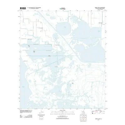 2012 Sweet Lake2012 Print · USGSCameron Parish's coastal marshlands and ridges are captured here during the early twenty-first century, showcasing a landscape defined by water and drainage. Researchers can trace family names along Grand Lake Ridge or navigate the waterways of Willow Lake and Cross Canal.
 - 2012 Map of Grand Bayou, 2012 Print
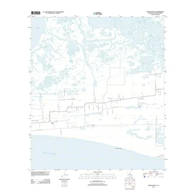 2012 Grand Bayou2012 Print · USGSCameron Parish's coastal ridges and marshlands appear in detail in this modern survey of the Gulf Coast. Genealogists and local historians can trace family-named roads and locate burial sites like La Bove Cem, Duhon Cem, and the First Baptist Cem.
 - 2012 Map of Johnson Bayou, 2012 Print
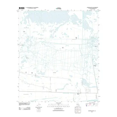 2012 Johnson Bayou2012 Print · USGSThe coastal marsh of Southwest Louisiana is documented here during a period of intensive energy extraction and historical settlement. Researchers can trace family sites at Smith Ridge Cem or locate the sprawling operations of the Cameron Meadows Oil and Gas Field and Johnsons Bayou Gas Field.
 - 2012 Map of Smith Bayou, 2012 Print
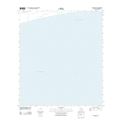 2012 Smith Bayou2012 Print · USGSThe Louisiana coast in Cameron Parish is documented here as it appeared in the early 2010s. Modern researchers can trace the coastal hydrography at the outlet of Smith Bayou and its transition into the Gulf of Mexico.
 - 2012 Map of Hayes, 2012 Print
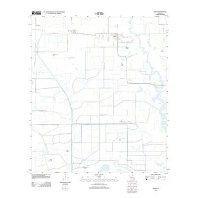 2012 Hayes2012 Print · USGSCalcasieu Parish is shown in the early twenty-first century, revealing a landscape defined by energy extraction and drainage canals. Researchers can trace family-named roads like Oliver Hayes Rd and locate industrial landmarks such as the Illinois Plant and Hayes Gas Field.
 - 2012 Map of Thornwell, 2012 Print
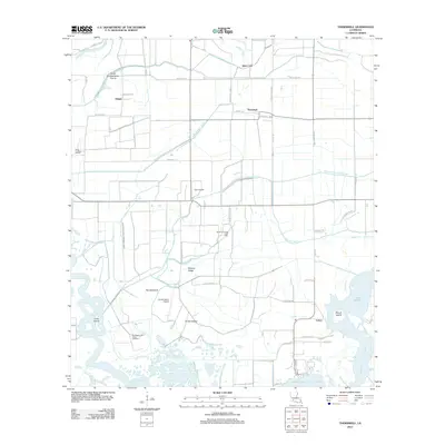 2012 Thornwell2012 Print · USGSCoastal Louisiana's prairie and marshland are captured here during the early twenty-first century, showing a landscape defined by water management and energy. Researchers can locate regional landmarks like the South Thornwell Gas Field, Lyon Airport, and the settlement of Lowry.
 - 2012 Map of Lake Arthur, 2012 Print
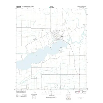 2012 Lake Arthur2012 Print · USGSCoastal Louisiana life centers on the water in this early 21st-century record of Jefferson Davis Parish. Researchers can trace local heritage through the Andress Cove Cem, industrial landmarks like the South Lake Arthur Gas Field, and the Klondike Canal.
 - 2012 Map of Hog Bayou, 2012 Print
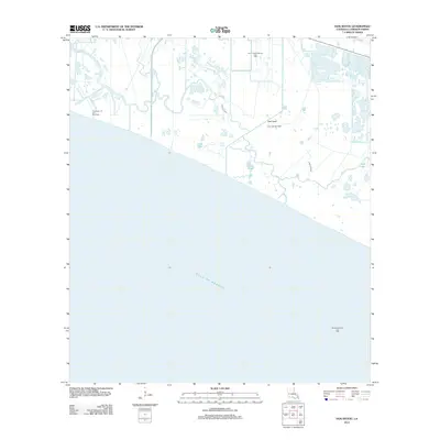 2012 Hog Bayou2012 Print · USGSCoastal Cameron Parish in the early 2010s reveals a landscape where tidal marshlands meet the Gulf's industrial energy sector. Researchers can trace the infrastructure of the Hog Bayou Oil and Gas Field and the intricate waterways of Crab Lake and Hog Bayou.
Showing maps 1-25 of 142
Top cities of Cameron Parish
Frequently asked questions
- What are the different types of historical maps available for Cameron Parish?
- What is the oldest map of Cameron Parish?
- Where can I purchase historical maps of Cameron Parish for my home or office?
- Where can I download high-res historical maps of Cameron Parish?
- Are there historical topographic maps available for Cameron Parish?
- Is there historical aerial imagery available for Cameron Parish?
- Where are historical maps of Cameron Parish sourced from?