2010s Maps of Catahoula Parish, Louisiana
Explore 84 historic maps of Catahoula Parish from the 2010s. These maps offer a rare glimpse into what life looked like during the 2010s — showing old roads, neighborhoods, homes, and landmarks that have changed or disappeared over time.
Whether you're researching your family's past, planning a metal detecting trip, or studying how Catahoula Parish's landscape evolved across the 2010s, these high-resolution maps are a powerful tool for exploring the history of this region.
- Focus on a specific era: All maps on this page are from the 2010s, giving you a focused view of this time period.
- See what’s changed: Compare century-old streets, trails, and buildings to today's modern landscape using overlays and satellite layers.
- Research with precision: Use these maps for genealogy, historical research, land use analysis, or educational projects.
- View, download, or print: Maps are fully viewable online in high resolution, and can be downloaded or printed for your own records.
Start exploring Catahoula Parish's history through authentic maps from the 2010s. This is your window into the past.
Catahoula Parish, LA maps
(84)- 2012 Map of Lac Sainte Agnes, 2012 Print
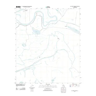 2012 Lac Sainte Agnes2012 Print · USGSThe Louisiana delta in the early twenty-first century is a complex web of shifting river channels and oil fields. Genealogists and historians can trace the intricate waterways and local landmarks like Lac Sainte Agnes, Pointe Tournant, and the Lake Ophelia Oil Field.
 - 2012 Map of Dunbarton, 2012 Print
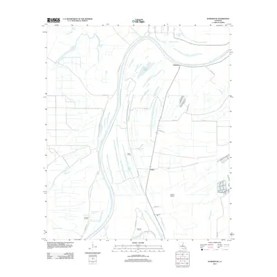 2012 Dunbarton2012 Print · USGSThe alluvial plains of Concordia Parish appear here in the early 21st century as a landscape defined by water and industry. Genealogists and researchers can trace the Ballina Oil Field, find the Eva Dale Cem, and map the banks of the Tensas River.
 - 2012 Map of Monterey, 2012 Print
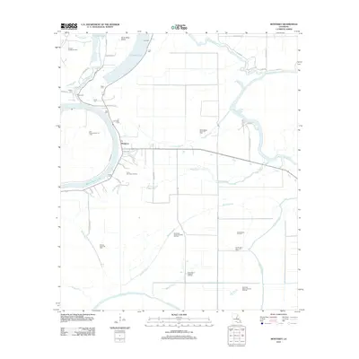 2012 Monterey2012 Print · USGSMonterey and the surrounding Louisiana wetlands are captured here in the early twenty-first century, showing a landscape defined by bayous and oil production. Researchers can locate several family burial grounds including Luckett Cem and Rice Cem, or trace the winding course of Bayou Cocodrie.
 - 2012 Map of Frogmore, 2012 Print
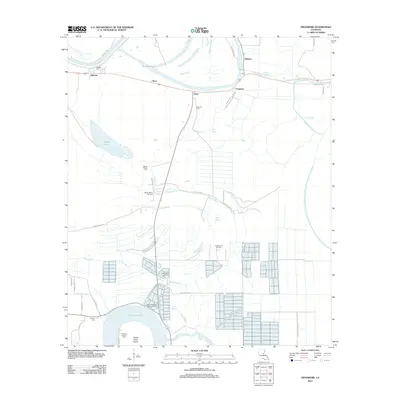 2012 Frogmore2012 Print · USGSConcordia Parish in the early 2010s shows a landscape deeply shaped by the Mississippi delta's winding bayous and active oil fields. Researchers can locate family landmarks like Athlone Cem and Warren Cem or trace the drainage of Cocodrie Lake and Boggy Bayou.
 - 2012 Map of Ferriday North, 2012 Print
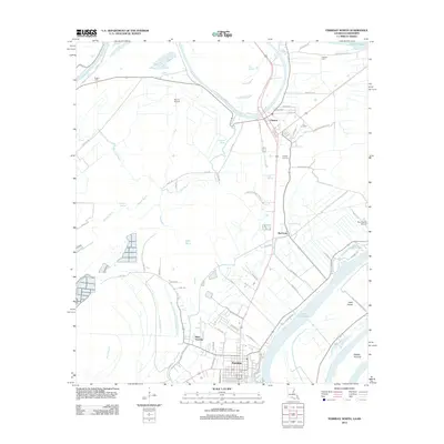 2012 Ferriday North2012 Print · USGSConcordia Parish at the start of the 2010s shows a landscape of deep bayous and delta settlements. Researchers can trace family history at Calhoun Cem, follow the winding Tensas River, or locate old landmarks in Clayton and West Ferriday.
 - 2012 Map of Wisner, 2012 Print
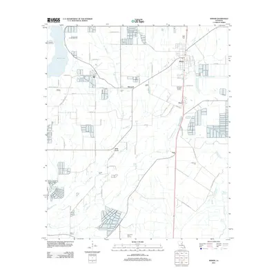 2012 Wisner2012 Print · USGSFranklin Parish settlement and industry are on full display in this 2012 survey of the Louisiana bayou country. Genealogists and local historians can trace rural family landmarks like Hope Estate Cem, the village of Metropolis, and the Wisner Oil Field.
 - 2012 Map of Enterprise, 2012 Print
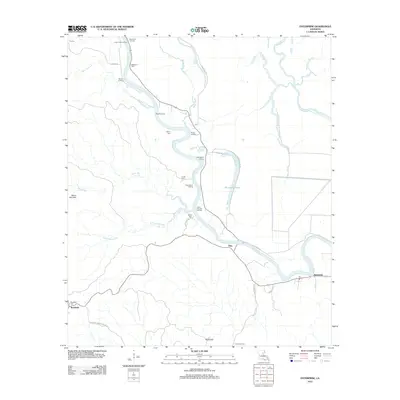 2012 Enterprise2012 Print · USGSCatahoula Parish river life is on full display in the early twenty-first century as the winding Ouachita River dictates the local geography. Genealogists and historians can trace numerous family-named sites and river access points like McSween Cem, Cottonwood Landing, and the settlement of Enterprise.
 - 2012 Map of Acme, 2012 Print
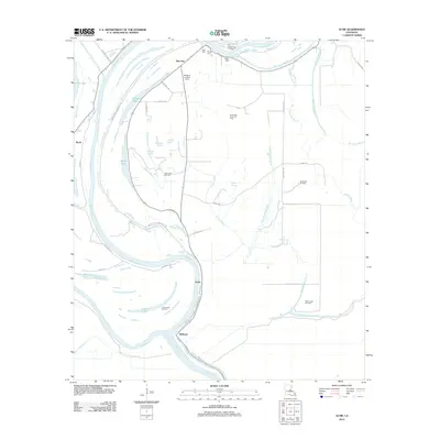 2012 Acme2012 Print · USGSCatahoula Parish's river-driven landscape is captured here in the early twenty-first century as the delta terrain continues to shape local industry and life. Genealogists can locate family sites like Trisler Cem and Dale Cem, while researchers trace the river-bend communities of Acme and Delhoste.
 - 2012 Map of Mayna, 2012 Print
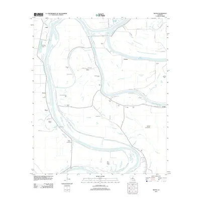 2012 Mayna2012 Print · USGSThe Black River floodplain of Concordia Parish is captured here in the early twenty-first century, showcasing a landscape defined by its waterways and oil fields. Researchers can trace local lineage through sites like Lone Pine Cem, Eva, and Pecanty Cem.
 - 2012 Map of Extension, 2012 Print
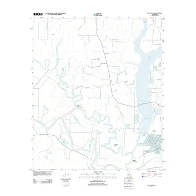 2012 Extension2012 Print · USGSThe Ouachita and Boeuf Rivers wind through this water-rich Louisiana landscape during the early 2010s. Researchers can locate local landmarks like Carrway Cem, the landing at Jones Landing, and the riverside terrain of Rabbit Island.
 - 2012 Map of Manifest, 2012 Print
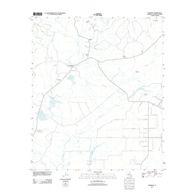 2012 Manifest2012 Print · USGSCatahoula Parish in the early 2010s reveals a landscape shaped by petroleum extraction and long-standing family settlements. Researchers can trace ancestral locations through several burial grounds like Huffman Cem and Smith Cem or locate operations within the Manifest Oil Field.
 - 2012 Map of Oakley, 2012 Print
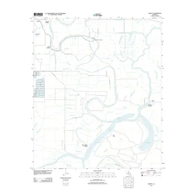 2012 Oakley2012 Print · USGSFranklin Parish river life and bottomland geography are detailed in this recent survey. Researchers can trace historical water access points like Big A Plenty Landing and Craig Landing or locate the old crossing at Kendrick Ferry.
 - 2012 Map of Jonesville North, 2012 Print
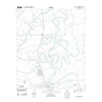 2012 Jonesville North2012 Print · USGSCatahoula Parish at the start of the 2010s is a landscape defined by the confluence of the Ouachita and Tensas Rivers. Researchers can trace family history through sites like Trinity Community Cem or study the local petroleum industry at the Tew Lake Oil Field and Quaid.
 - 2012 Map of Walters, 2012 Print
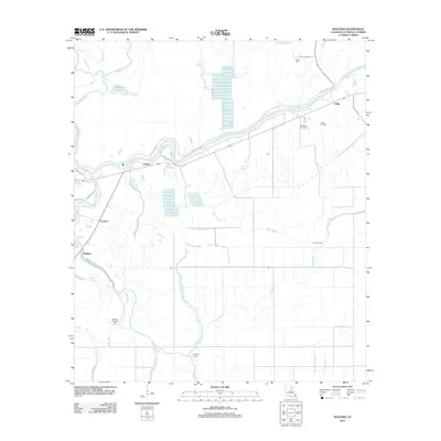 2012 Walters2012 Print · USGSCatahoula Parish in the early twenty-first century reveals a landscape shaped by the Little River and the local oil industry. Genealogists and local historians can trace family sites like Young Cem and small communities such as Archie and Walters.
 - 2012 Map of Harrisonburg, 2012 Print
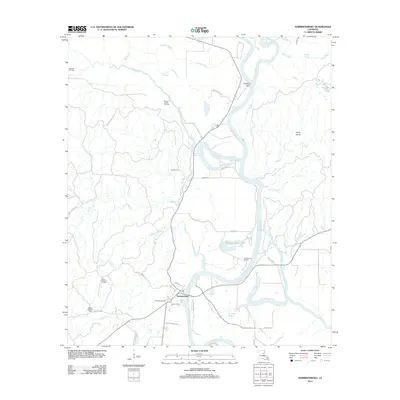 2012 Harrisonburg2012 Print · USGSCatahoula Parish in the early 2010s shows a landscape where river navigation and energy production meet. Genealogists and local historians can trace family land via Boothe Cemetery Rd or locate the Harrisonburg Cem near the banks of the Ouachita River.
 - 2012 Map of Jonesville South, 2012 Print
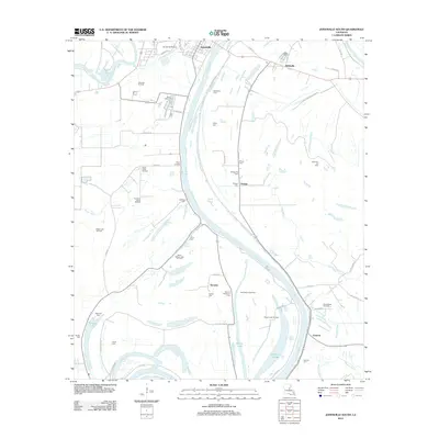 2012 Jonesville South2012 Print · USGSThe riverlands south of Jonesville are captured here in the early twenty-first century, documenting a landscape of bayous and energy extraction. Genealogists and historians can trace family cemeteries like Security Plantation Cem and Lismore Cem alongside active sites like the Ross Bayou Oil Field.
 - 2012 Map of Foules, 2012 Print
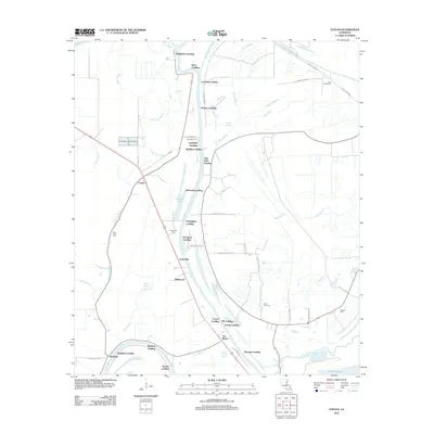 2012 Foules2012 Print · USGSThe riverfront landings of Catahoula Parish are captured here during the early twenty-first century, showing a landscape defined by the Tensas River. Genealogists and local historians can trace family-named sites like Kirks Landing or locate New Light Cem and Powells Cem.
 - 2012 Map of Sicily Island, 2012 Print
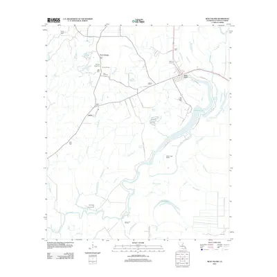 2012 Sicily Island2012 Print · USGSLouisiana's delta country is meticulously documented in this early twenty-first-century survey of Catahoula Parish. Genealogists and historians can trace numerous rural burial sites like Old Salem Cem and Mason Cem or locate the Bayou Louis Oil Field and Peck Landing Strip.
 - 2012 Map of Larto Lake North, 2012 Print
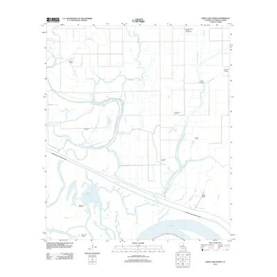 2012 Larto Lake North2012 Print · USGSCatahoula Parish in the early 2010s is a landscape of complex bayous and active oil fields. Researchers can trace the path of the Catahoula Lake Diversion Canal or locate local landmarks like the Louisiana Delta Plantation Landing Strip and Foster Ridge.
 - 2012 Map of Larto Lake South, 2012 Print
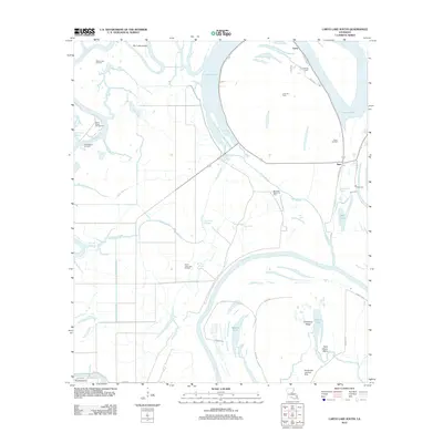 2012 Larto Lake South2012 Print · USGSCatahoula Parish's river-rich landscape is captured here in the early twenty-first century, featuring the interconnected waters of the Red River and Larto Lake. Researchers can locate family landmarks like Nichols Cem or trace the development of the Saline Lake Oil Field.
 - 2012 Map of Aimwell, 2012 Print
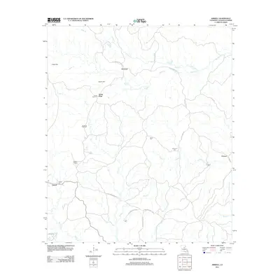 2012 Aimwell2012 Print · USGSCatahoula Parish's high ridges and creek bottoms come into focus in this recent survey of the Louisiana backcountry. Genealogists and historians can trace local family lineages through numerous sites like Siloam Cem, McClendon Cem, and the Aimwell Lookout Tower.
 - 2012 Map of Bird Island Point, 2012 Print
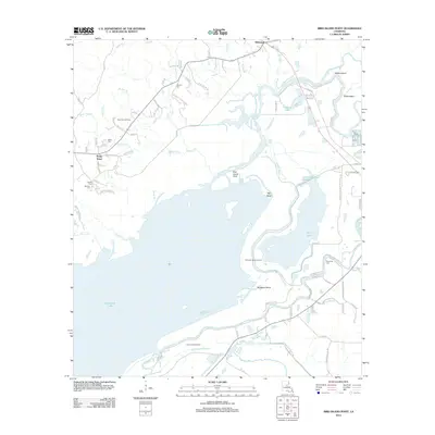 2012 Bird Island Point2012 Print · USGSLaSalle Parish wetlands and the northern reaches of the Catahoula basin are captured here in the early twenty-first century. Genealogists and researchers can locate several family cemeteries, including Chevallier Cem and Tidwell Cem, alongside the settlements of Whitehall and Sharp Town.
 - 2012 Map of Buckeye NE, 2012 Print
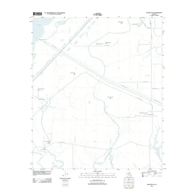 2012 Buckeye NE2012 Print · USGSRapides Parish is mapped here in the early twenty-first century, showcasing a landscape defined by wetlands and heavy industry. Researchers can trace the extensive network of energy sites like the West Saline Lake Oil Field and the Cypress Bayou Oil Field alongside the Catahoula Lake Diversion Canal.
 - 2012 Map of Jena East, 2012 Print
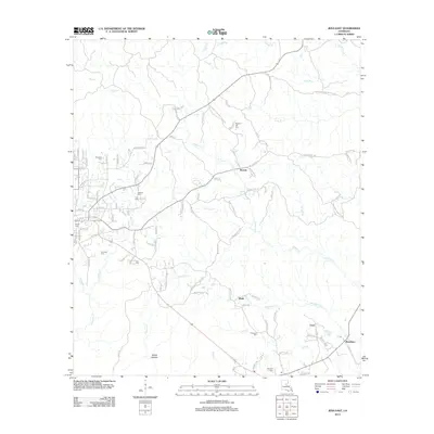 2012 Jena East2012 Print · USGSLaSalle Parish's eastern wetlands and rural reaches are documented in this 2012 survey during a period of steady residential growth. Genealogists can trace several local burial sites, including Jackson Cem and Pritchard Cem, while locating landmarks like Poverty Knob.
 - 2012 Map of Nickel, 2012 Print
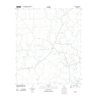 2012 Nickel2012 Print · USGSNickel and the surrounding LaSalle Parish countryside are shown here in the early 2010s as a landscape of rural tradition meeting modern industry. Researchers can trace local lineage through several sites like Antioch Cem, Wilbanks Cem, and the winding Bayou Funny Louis.
Showing maps 1-25 of 84
Top cities of Catahoula Parish
Frequently asked questions
- What are the different types of historical maps available for Catahoula Parish?
- What is the oldest map of Catahoula Parish?
- Where can I purchase historical maps of Catahoula Parish for my home or office?
- Where can I download high-res historical maps of Catahoula Parish?
- Are there historical topographic maps available for Catahoula Parish?
- Is there historical aerial imagery available for Catahoula Parish?
- Where are historical maps of Catahoula Parish sourced from?