2010s Maps of Gasconade County, Missouri
Explore 60 historic maps of Gasconade County from the 2010s. These maps offer a rare glimpse into what life looked like during the 2010s — showing old roads, neighborhoods, homes, and landmarks that have changed or disappeared over time.
Whether you're researching your family's past, planning a metal detecting trip, or studying how Gasconade County's landscape evolved across the 2010s, these high-resolution maps are a powerful tool for exploring the history of this region.
- Focus on a specific era: All maps on this page are from the 2010s, giving you a focused view of this time period.
- See what’s changed: Compare century-old streets, trails, and buildings to today's modern landscape using overlays and satellite layers.
- Research with precision: Use these maps for genealogy, historical research, land use analysis, or educational projects.
- View, download, or print: Maps are fully viewable online in high resolution, and can be downloaded or printed for your own records.
Start exploring Gasconade County's history through authentic maps from the 2010s. This is your window into the past.
Gasconade County, MO maps
(60)- 2012 Map of Redbird, 2012 Print
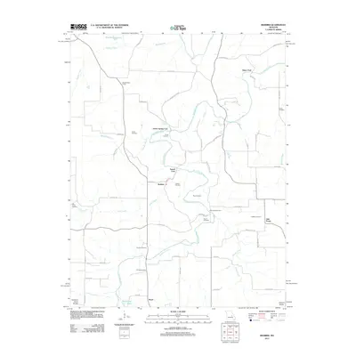 2012 Redbird2012 Print · USGSThe Bourbeuse River valley in the early 2000s remains defined by its historic river crossings and scattered rural settlements. Family historians can locate numerous small burial sites like Scantlin Cemetery and Collier Cemetery or trace old river fords including Glaser Ford.
 - 2012 Map of Berger, 2012 Print
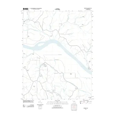 2012 Berger2012 Print · USGSThe Missouri River bottoms and Ozark foothills near the town of Berger come into focus during this early 21st-century survey. Genealogists can trace decades of local family history through numerous sites like Saint Johns Cemetery, Drewel Cemetery, and the settlement at Etlah.
 - 2012 Map of Morrison, 2012 Print
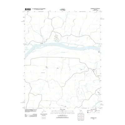 2012 Morrison2012 Print · USGSThe Missouri River valley at the start of the 21st century remains a landscape defined by its waterways and small river towns. Family historians can trace ancestral roots through numerous burial sites including Welton Cemetery and Schobe Cemetery, or explore the streets of Portland and Morrison.
 - 2012 Map of Cooper Hill, 2012 Print
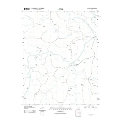 2012 Cooper Hill2012 Print · USGSThe Gasconade River valley in Osage County is shown here in the early twenty-first century, featuring a landscape of high ridges and deep hollows. Genealogists can trace family locations through numerous sites like Mount Sterling Cemetery, Valentine Ford, and the settlement at Cooper Hill.
 - 2012 Map of Gerald, 2012 Print
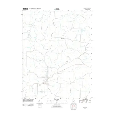 2012 Gerald2012 Print · USGSSettled rural Missouri comes into focus in the early twenty-first century as the town of Gerald expands along its historic road corridors. Genealogists can trace family connections through numerous rural burial grounds like Bates Cemetery or explore small named locales such as Beemont and Jaegers Shop.
 - 2012 Map of Dissen, 2012 Print
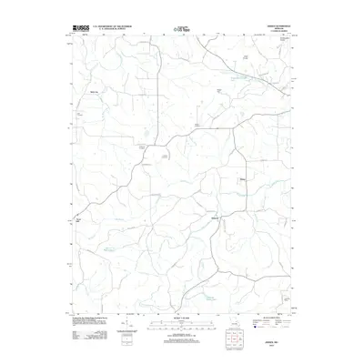 2012 Dissen2012 Print · USGSThis rural Franklin County landscape at the start of the 2010s shows a resilient network of small crossroads and family farmsteads. Genealogists can trace local roots through numerous sites like Kohlbush Cemetery, the historic area of Detmold, and Kohl City.
 - 2012 Map of Argo, 2012 Print
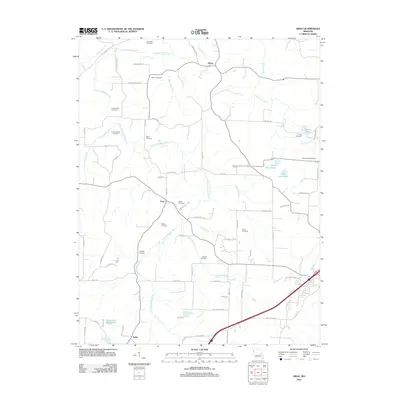 2012 Argo2012 Print · USGSCrawford County's rural character is preserved in this study of the communities around Japan and Argo during the early 2010s. Genealogists can locate numerous burial sites, from the Old Japan Cemetery to Crow Cemetery, along the banks of the Little Bourbeuse River.
 - 2012 Map of Belle, 2012 Print
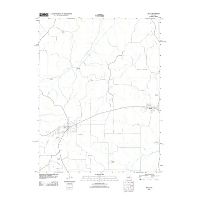 2012 Belle2012 Print · USGSThe borderlands of Gasconade and Maries counties appear in the early 21st century as a landscape of established small towns and generational homesteads. Researchers can locate numerous family burial sites such as Francis Cemetery and Campbell Cemetery or trace the winding course of Crider Creek.
 - 2012 Map of Strain, 2012 Print
 2012 Strain2012 Print · USGSFranklin County's rural interior comes to life in this survey of the early twenty-first century, centered on the winding Bourbeuse River. Genealogists and local historians can trace family roots through sites like Old Japan Cemetery, Schmidt Cemetery, and the historic crossing at Millrock Ford.
 - 2012 Map of Owensville West, 2012 Print
 2012 Owensville West2012 Print · USGSGasconade County reveals its rural character and modern growth in the decade following the turn of the millennium. Researchers can trace family history through sites like the Old United Methodist Cemetery or locate the quiet crossroads of Canaan and Cleavesville.
 - 2012 Map of Pershing, 2012 Print
 2012 Pershing2012 Print · USGSGasconade County's river-driven landscape is captured here in the early twenty-first century, showing a rural Missouri topography defined by the winding Gasconade River. Researchers can trace local lineage through a high density of family sites like Baecker Cemetery and historic river crossings such as Feigler Ferry.
 - 2012 Map of Goerlisch Ridge, 2012 Print
 2012 Goerlisch Ridge2012 Print · USGSGasconade County at the start of the 2010s reveals a landscape of enduring rural settlements and ridge-top geography. Genealogists can trace family roots at Old Woollam or locate several local burial sites such as Third Creek Cemetery and Advent Cemetery.
 - 2012 Map of Swiss, 2012 Print
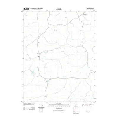 2012 Swiss2012 Print · USGSGasconade County at the start of the 2010s remains a landscape of family farms and creek-bottom timber. Researchers can trace numerous local lineages through family sites like Sanders Cemetery, Roth Cemetery, and the Drake Lookout Tower.
 - 2012 Map of Hermann, 2012 Print
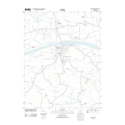 2012 Hermann2012 Print · USGSHermann and the Missouri River valley are captured in detail during the early twenty-first century, showing the intersection of river commerce and historic settlements. Genealogists can trace dozens of family burial sites including Poeschel Cemetery, Langendoerfer Cemetery, and Old Saint George Cemetery.
 - 2012 Map of High Gate, 2012 Print
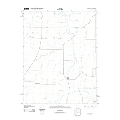 2012 High Gate2012 Print · USGSMaries County settlement and genealogy are well-preserved in this modern survey of the Northern Ozark Border. Researchers can trace ancestral roots through numerous local sites including Lanes Prairie, Love Cemetery, and High Gate.
 - 2012 Map of Fredericksburg, 2012 Print
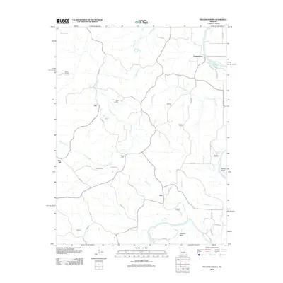 2012 Fredericksburg2012 Print · USGSThe rural riverlands of Osage County are shown here in the early twenty-first century, centered on the winding Gasconade River. Genealogists and local historians can locate many family-named landmarks, including Woods Cemetery, Heckman Bend, and the settlement of Fredericksburg.
 - 2012 Map of Oak Hill, 2012 Print
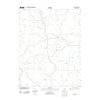 2012 Oak Hill2012 Print · USGSCrawford County's rural character and family heritage are preserved here in the early twenty-first century. Genealogists and local historians can trace the locations of numerous family burial grounds such as Aunt Pop Cemetery and Pinnell Cemetery along the Bourbeuse River corridor.
 - 2012 Map of Gasconade, 2012 Print
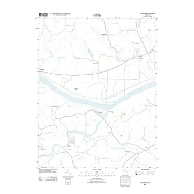 2012 Gasconade2012 Print · USGSThe Missouri and Gasconade rivers meet in this 2012 survey, showing the riverfront settlements and valley farming long after the turn of the century. Researchers can trace family history through local landmarks like Saint Marcus Cemetery, Stolpe, and the Government Boat Yard.
 - 2012 Map of Owensville East, 2012 Print
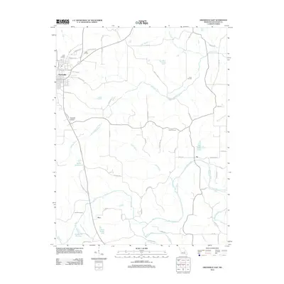 2012 Owensville East2012 Print · USGSGasconade County in the early twenty-first century is captured here as a landscape of rural settlements and winding river valleys. Genealogists and historians can trace family locations near Tea, Bem, and local landmarks like Hinton Cemetery and Tea Lake.
 - 2012 Map of Rosebud, 2012 Print
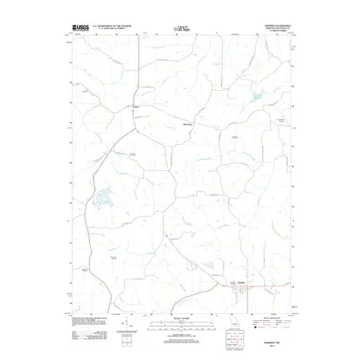 2012 Rosebud2012 Print · USGSGasconade County at the start of the 2010s shows a landscape of enduring family farms and rural crossroads. Local historians can trace family land ties via Brandhorst Rd or locate historic burials at Zoar Cemetery and New Salem Cemetery.
 - 2015 Map of Pershing, 2015 Print
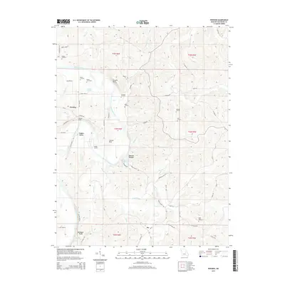 2015 Pershing2015 Print · USGSGasconade County’s river-carved landscape is documented here in the early twenty-first century, centered on the winding Gasconade River. Researchers can trace old family burial grounds like Baecker Cemetery and historic river crossings such as Feigler Ferry.
 - 2015 Map of Dissen, 2015 Print
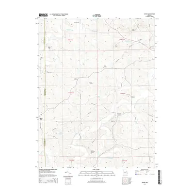 2015 Dissen2015 Print · USGSThe rural borderlands of Gasconade and Franklin counties are shown here in the mid-2010s, centered on the community of Dissen. Researchers can trace local lineage through numerous family-named landmarks and burial sites like Dahl Cemetery, Meyers Cemetery, and Kohl City.
 - 2015 Map of Gasconade, 2015 Print
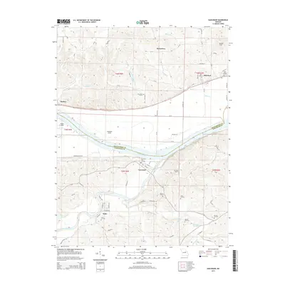 2015 Gasconade2015 Print · USGSThe Missouri River valley comes to life in this recent survey of the river's junction with the Gasconade River. Genealogists and local historians can trace family ties through several remote burial grounds like Saint Marcus and Rabenau Cemetery.
 - 2015 Map of Berger, 2015 Print
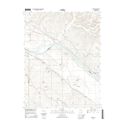 2015 Berger2015 Print · USGSNear the Missouri River in the mid-2010s, this area reflects a deeply rooted rural landscape across several county lines. Genealogists can locate many family burial sites such as Roark Cemetery, Bade Cemetery, and Saint Pauls Cemetery.
 - 2015 Map of Owensville West, 2015 Print
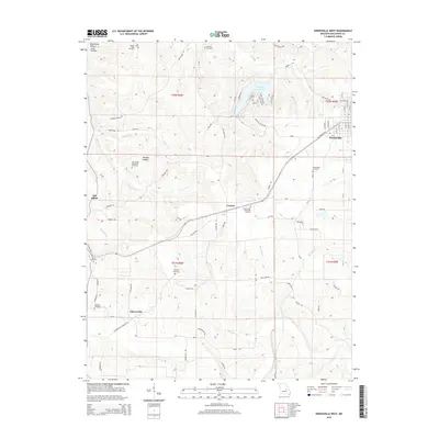 2015 Owensville West2015 Print · USGSGasconade County settlement patterns are preserved here in the mid-2010s, showing the rural communities surrounding Owensville. Genealogists can trace family names through numerous sites like Branson Cemetery, Richardson Cemetery, and Howard Cemetery.
Showing maps 1-25 of 60
Top cities of Gasconade County
- Hermann historical maps
- Owensville historical maps
- Rosebud historical maps
- Gasconade historical maps
- Morrison historical maps
Frequently asked questions
- What are the different types of historical maps available for Gasconade County?
- What is the oldest map of Gasconade County?
- Where can I purchase historical maps of Gasconade County for my home or office?
- Where can I download high-res historical maps of Gasconade County?
- Are there historical topographic maps available for Gasconade County?
- Is there historical aerial imagery available for Gasconade County?
- Where are historical maps of Gasconade County sourced from?