2000s (21st Century) Maps of Grundy County, Missouri
Explore 80 historic maps of Grundy County from the 2000s (21st Century). These maps offer a rare glimpse into what life looked like during the 2000s — showing old roads, neighborhoods, homes, and landmarks that have changed or disappeared over time.
Whether you're researching your family's past, planning a metal detecting trip, or studying how Grundy County's landscape evolved across the 2000s, these high-resolution maps are a powerful tool for exploring the history of this region.
- Focus on a specific era: All maps on this page are from the 2000s, giving you a focused view of this time period.
- See what’s changed: Compare century-old streets, trails, and buildings to today's modern landscape using overlays and satellite layers.
- Research with precision: Use these maps for genealogy, historical research, land use analysis, or educational projects.
- View, download, or print: Maps are fully viewable online in high resolution, and can be downloaded or printed for your own records.
Start exploring Grundy County's history through authentic maps from the 2000s. This is your window into the past.
Grundy County, MO maps
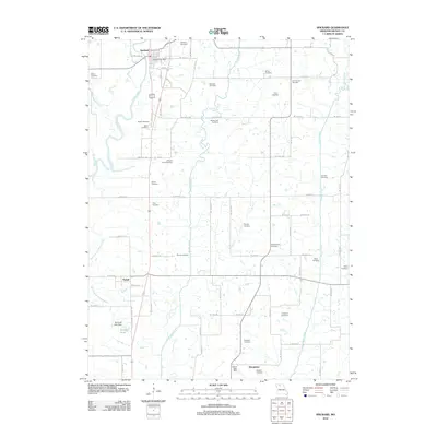
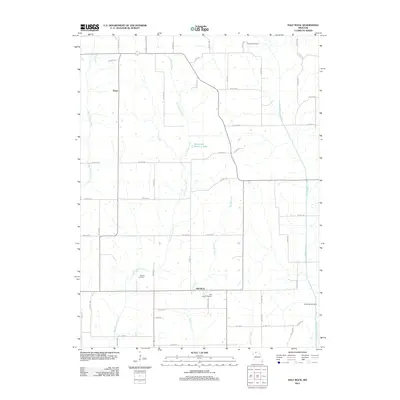
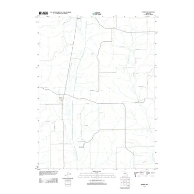
(80)- 2012 Map of Shearwood, 2012 Print
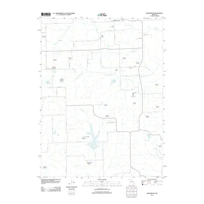 2012 Shearwood2012 Print · USGSCovers Grundy County, including Hickory Creek, Genova (historical), and other nearby areas
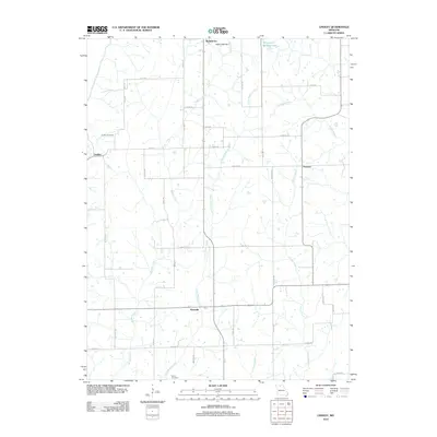
 - 2012 Map of Jamesport, 2012 Print
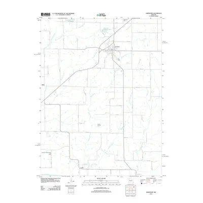 2012 Jamesport2012 Print · USGSCovers Grundy County, including Jamesport, Blake, and other nearby areas
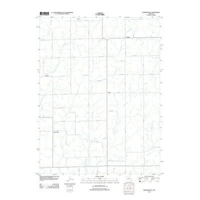
 - 2012 Map of Farmersville, 2012 Print
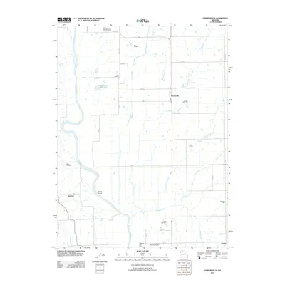 2012 Farmersville2012 Print · USGSCovers Grundy County, including Silverleaf, Sturges, and other nearby areas
 - 2012 Map of Eversonville, 2012 Print
 2012 Eversonville2012 Print · USGSCovers Grundy County, including Eversonville, Shafter, and other nearby areas
 - 2012 Map of Chula, 2012 Print
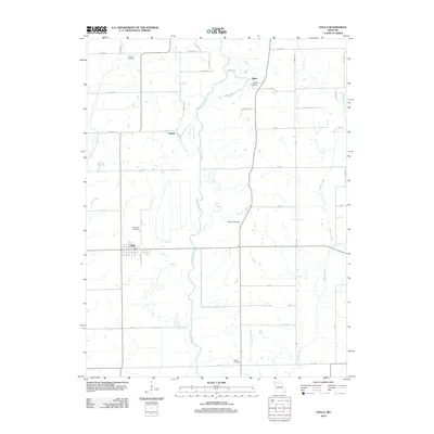 2012 Chula2012 Print · USGSCovers Grundy County, including Chula, Niantic, and other nearby areas
 - 2012 Map of Brimson, 2012 Print
 2012 Brimson2012 Print · USGSCovers Grundy County, including Brimson, Shott, and other nearby areas
 - 2012 Map of Laredo, 2012 Print
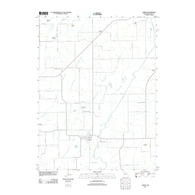 2012 Laredo2012 Print · USGSCovers Grundy County, including Galt, Laredo, and other nearby areas
 - 2012 Map of Bancroft, 2012 Print
 2012 Bancroft2012 Print · USGSCovers Grundy County, including Bancroft, Gilman City, and other nearby areas
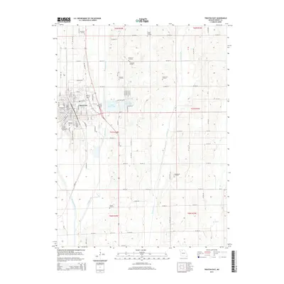
 - 2012 Map of Trenton West, 2012 Print
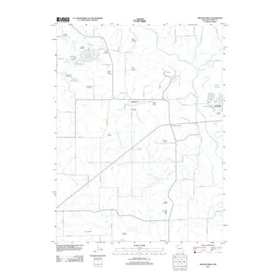 2012 Trenton West2012 Print · USGSCovers Grundy County, including Trenton, Edinburg, and other nearby areas
 - 2012 Map of Spickard, 2012 Print
 2012 Spickard2012 Print · USGSCovers Grundy County, including Spickard, Tindall, and other nearby areas
 - 2012 Map of Trenton East, 2012 Print
 2012 Trenton East2012 Print · USGSCovers Grundy County, including Trenton, United States, and other nearby areas
 - 2012 Map of Gilman City East, 2012 Print
 2012 Gilman City East2012 Print · USGSCovers Grundy County, including Bolton, Gilman City, and other nearby areas
 - 2012 Map of Half Rock, 2012 Print
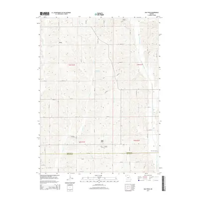
 2012 Half Rock2012 Print · USGSCovers Grundy County, including Half Rock, Topsy, and other nearby areas
 - 2012 Map of Modena, 2012 Print
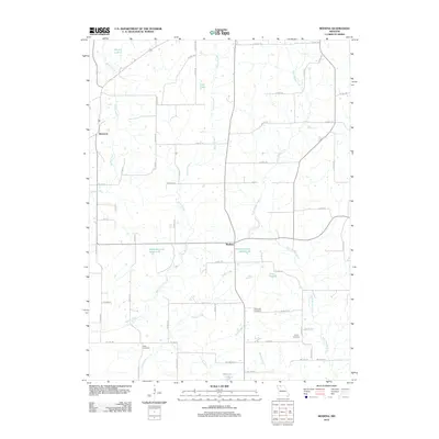 2012 Modena2012 Print · USGSCovers Grundy County, including Dinsmore, Modena, and other nearby areas
 - 2012 Map of Mount Moriah, 2012 Print
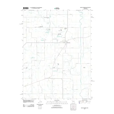 2012 Mount Moriah2012 Print · USGSCovers Grundy County, including Mount Moriah, Harrison County, and other nearby areas
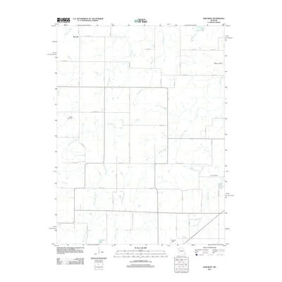
 - 2012 Map of Osgood, 2012 Print
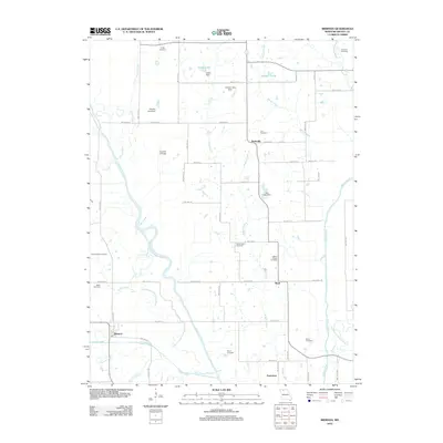
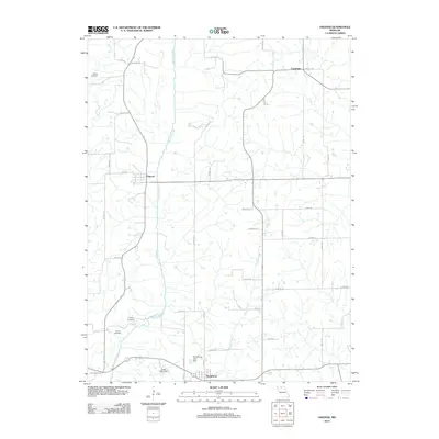 2012 Osgood2012 Print · USGSCovers Grundy County, including Humphreys, Osgood, and other nearby areas
 - 2012 Map of Harris, 2012 Print
 2012 Harris2012 Print · USGSCovers Grundy County, including Newtown, Harris, and other nearby areas
 - 2012 Map of Lindley, 2012 Print
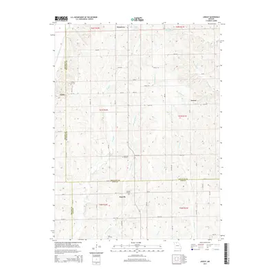
 2012 Lindley2012 Print · USGSCovers Grundy County, including Humphreys, Haseville, and other nearby areas
 - 2012 Map of Mill Grove, 2012 Print
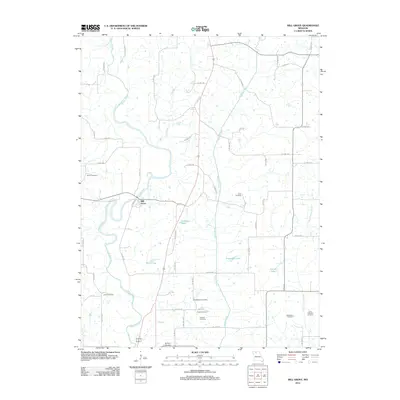 2012 Mill Grove2012 Print · USGSCovers Grundy County, including Spickard, Mill Grove, and other nearby areas
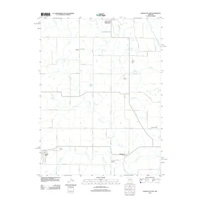
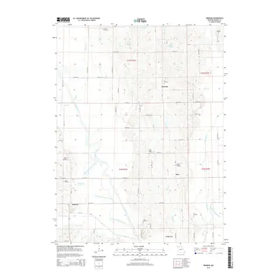
 - 2012 Map of Galt, 2012 Print
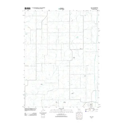 2012 Galt2012 Print · USGSCovers Grundy County, including Galt, United States, and other nearby areas
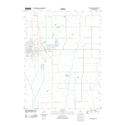
 - 2014 Map of Trenton East, 2014 Print
 2014 Trenton East2014 Print · USGSCovers Grundy County, including Trenton, United States, and other nearby areas
 - 2014 Map of Brimson, 2014 Print
 2014 Brimson2014 Print · USGSCovers Grundy County, including Brimson, Shott, and other nearby areas
 - 2014 Map of Lindley, 2014 Print
 2014 Lindley2014 Print · USGSCovers Grundy County, including Humphreys, Haseville, and other nearby areas
 - 2014 Map of Galt, 2014 Print
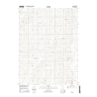 2014 Galt2014 Print · USGSCovers Grundy County, including Galt, United States, and other nearby areas
 - 2014 Map of Half Rock, 2014 Print
 2014 Half Rock2014 Print · USGSCovers Grundy County, including Half Rock, Topsy, and other nearby areas
Showing maps 1-25 of 80
Top cities of Grundy County
- Trenton historical maps
- Spickard historical maps
- Galt historical maps
- Laredo historical maps
- Tindall historical maps
- Brimson historical maps
Frequently asked questions
- What are the different types of historical maps available for Grundy County?
- What is the oldest map of Grundy County?
- Where can I purchase historical maps of Grundy County for my home or office?
- Where can I download high-res historical maps of Grundy County?
- Are there historical topographic maps available for Grundy County?
- Is there historical aerial imagery available for Grundy County?
- Where are historical maps of Grundy County sourced from?