2020s Maps of Chouteau County, Montana
Explore 214 historic maps of Chouteau County from the 2020s. These maps offer a rare glimpse into what life looked like during the 2020s — showing old roads, neighborhoods, homes, and landmarks that have changed or disappeared over time.
Whether you're researching your family's past, planning a metal detecting trip, or studying how Chouteau County's landscape evolved across the 2020s, these high-resolution maps are a powerful tool for exploring the history of this region.
- Focus on a specific era: All maps on this page are from the 2020s, giving you a focused view of this time period.
- See what’s changed: Compare century-old streets, trails, and buildings to today's modern landscape using overlays and satellite layers.
- Research with precision: Use these maps for genealogy, historical research, land use analysis, or educational projects.
- View, download, or print: Maps are fully viewable online in high resolution, and can be downloaded or printed for your own records.
Start exploring Chouteau County's history through authentic maps from the 2020s. This is your window into the past.
Chouteau County, MT maps
(214)- 2020 Map of Arrow Peak, 2020 Print
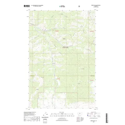 2020 Arrow Peak2020 Print · USGSThe Highwood Mountains stand at the junction of Chouteau and Judith Basin counties in this recent survey. Researchers can trace the rugged topography of the Lewis & Clark National Forest, locating landmarks like Arrow Peak, White Wolf, and Lava Peak.
 - 2020 Map of Geraldine NE, 2020 Print
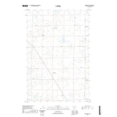 2020 Geraldine NE2020 Print · USGSChouteau County's high prairie landscape is captured here in the early twenty-first century, showing a network of remote ranch roads and natural drainages. Researchers can trace land ties along Prairie Dog Jim Rd and Muir Ln, or locate Clear Lake and Mud Spring Coulee.
 - 2020 Map of Carter Mountain, 2020 Print
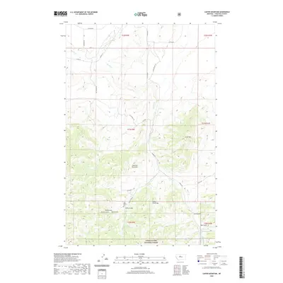 2020 Carter Mountain2020 Print · USGSChouteau County's mountain-front terrain is beautifully documented in this recent survey of the Highwood range. Genealogists and researchers can trace family-named landmarks and historical sites like Upper Shonkin Cem, Shonkin Creek Bridge, and Todd Coulee.
 - 2020 Map of Jiggs Flat, 2020 Print
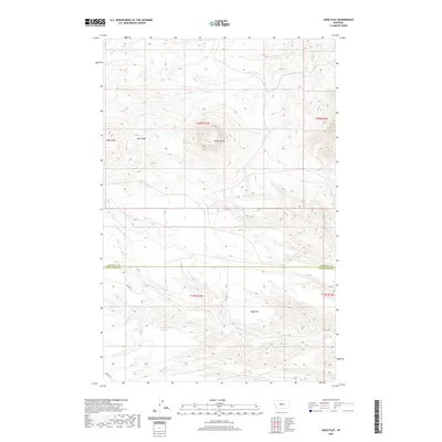 2020 Jiggs Flat2020 Print · USGSChouteau and Judith Basin counties meet in this 2020 landscape, where the high point of Round Butte overlooks the vast Jiggs Flat. Genealogists and researchers can trace rural property lines and water sources like 19N11E20DA 01 Spring and Cowboy Cr.
 - 2020 Map of Strouf Island, 2020 Print
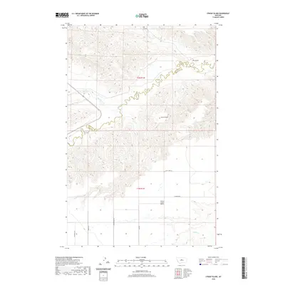 2020 Strouf Island2020 Print · USGSThe Montana high plains and the Chouteau-Fergus county line are documented here in the early twenty-first century. Researchers can trace the rugged breaks of Arrow Cr and Big Coulee, or locate family-named landmarks like Strouf Island.
 - 2020 Map of Highwood, 2020 Print
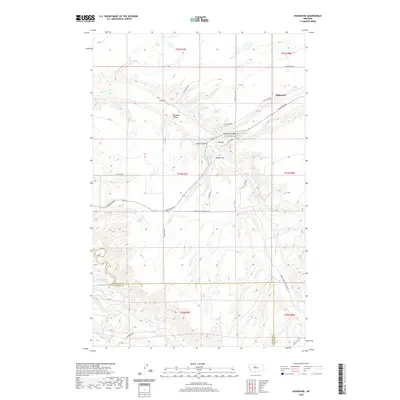 2020 Highwood2020 Print · USGSHighwood and the surrounding central Montana ranchlands are shown in detail during the early twenty-first century. Genealogists and local historians can trace family land ties near Highwood Cr and landmarks like Dunbar Hill or Big Sag.
 - 2020 Map of Square Butte, 2020 Print
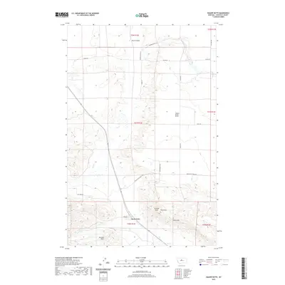 2020 Square Butte2020 Print · USGSChouteau County's ranching country is captured here in the early twenty-first century, showing a landscape defined by dramatic buttes and deep coulees. Researchers can trace the layout of the Square Butte settlement or locate family landmarks like Buckskin Butte and the Chalk Cliffs.
 - 2020 Map of Tunis, 2020 Print
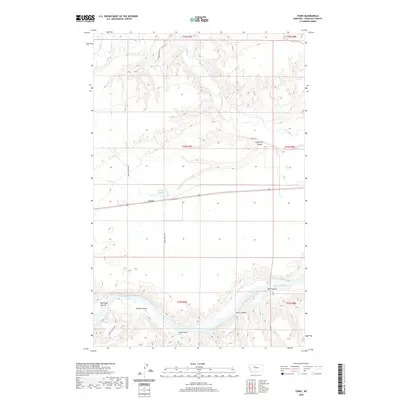 2020 Tunis2020 Print · USGSThe High Plains of Chouteau County meet the winding Missouri River in this modern survey of the Tunis area. Researchers can trace the network of ranch roads and remote landmarks like Eightmile Spring and the deep cuts of Bird Coulee.
 - 2020 Map of Shonkin NW, 2020 Print
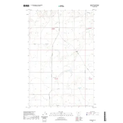 2020 Shonkin NW2020 Print · USGSChouteau County's high plains and deep coulees are captured here in the early twenty-first century. Genealogists and local historians can trace the ranching road network and water sources like Spring Coulee, The Canyon, and Shonkin Cr.
 - 2020 Map of Lepleys Creek, 2020 Print
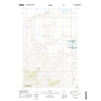 2020 Lepleys Creek2020 Print · USGSChouteau County in the modern era remains a landscape of high peaks and vital wetlands. Researchers can trace the drainage of the Highwood Mountains through Bear Gulch and identify key conservation lands like the Chouteau County Waterfowl Production Area.
 - 2020 Map of Fort Benton, 2020 Print
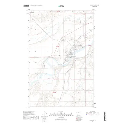 2020 Fort Benton2020 Print · USGSFort Benton remains a focal point of Montana river history in this recent survey of the Missouri and Teton river junction. Genealogists and local historians can trace the town’s civic core from the Chouteau County Courthouse to Riverside Cem and the settlement of Kershaw.
 - 2020 Map of Belt NE, 2020 Print
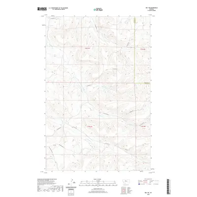 2020 Belt NE2020 Print · USGSThe rural borders of Cascade and Chouteau Counties are captured here in the early twenty-first century, showing a landscape defined by ranch roads and deep creek drainages. Researchers can trace the paths of Big Willow Cr and Little Belt Cr alongside local thoroughfares like Thibedeau Rd and Jarvi Rd.
 - 2020 Map of Loma East, 2020 Print
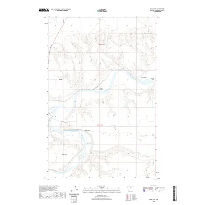 2020 Loma East2020 Print · USGSChouteau County's river valleys and high benches are documented here in the early twenty-first century. Researchers can trace the river-based geography of Loma and Lippard, locating landforms like Black Bluff Rapids and the historic route of Loma Ferry Rd.
 - 2020 Map of Big Sag, 2020 Print
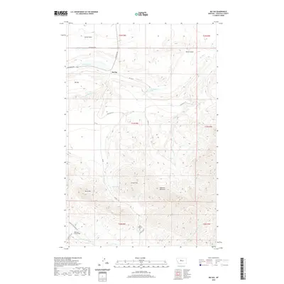 2020 Big Sag2020 Print · USGSChouteau County's rugged terrain is revealed in this modern survey of the Highwood Mountains and the Big Sag depression. Genealogists and hikers can locate the Upper Highwood Cem and trace seasonal drainages from Gossack Mtn down to Big Sag Lake.
 - 2020 Map of Fort Benton NW, 2020 Print
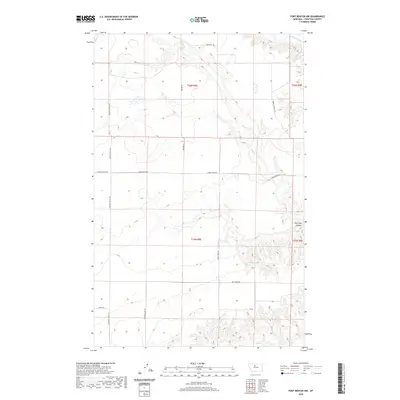 2020 Fort Benton NW2020 Print · USGSChouteau County's rural northern plains are captured here in the contemporary era, centered on the winding path of the Marias River. Researchers can trace old property access and water sources along Vimy Ridge Rd, Dry Fork Coulee, and Chip Cr.
 - 2020 Map of Waltham, 2020 Print
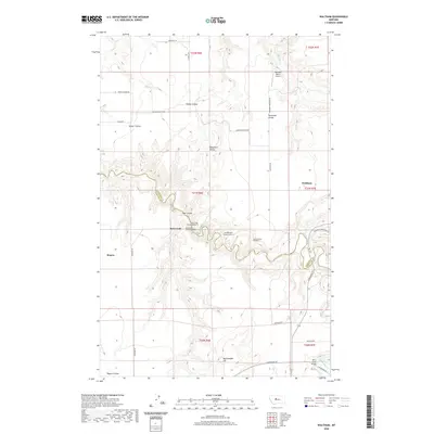 2020 Waltham2020 Print · USGSThe ranching country on the Chouteau and Cascade county line is defined by the deep canyons of Belt Creek and its many coulees. Researchers can trace the engineering of the railway through Amphitheater Tunnel Number 4 and Lacey Tunnel Number 3 near Waltham.
 - 2020 Map of Square Butte NE, 2020 Print
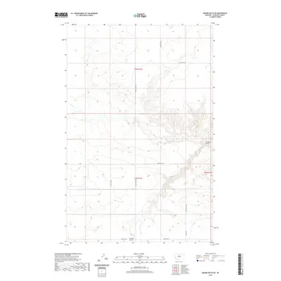 2020 Square Butte NE2020 Print · USGSChouteau County's high plains are mapped in detail during the modern era, showing the transition from open range to a structured road network. Researchers can trace land use and elevation changes along Flat Creek and follow historic routes like Wagon Trail Rd and Happy Hollow Rd.
 - 2020 Map of Pilot Rock, 2020 Print
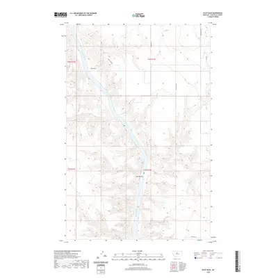 2020 Pilot Rock2020 Print · USGSThe Missouri River breaks of Chouteau County are captured here in the modern era, showing a landscape defined by dramatic river canyons. Trace the rugged terrain around landmarks like Pilot Rock, LaBarge Rock, and the remote Lonetree Trl.
 - 2020 Map of Square Butte SE, 2020 Print
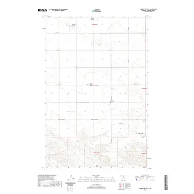 2020 Square Butte SE2020 Print · USGSChouteau County's high plains are revealed in this recent survey of the Big Coulee region. Researchers can locate family landmarks like the Square Butte Bench Cem and Owen Bros Airport or trace the drainage of Cut Bank Coulee.
 - 2020 Map of Eagle Buttes SW, 2020 Print
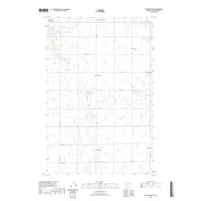 2020 Eagle Buttes SW2020 Print · USGSChouteau County's high prairie is mapped in the modern era, revealing a landscape defined by deep coulees and an extensive section-line road network. Genealogists and historians can trace family-named routes like Tadej Ln and Roudabush Ln alongside Sherry Coulee and Crow Coulee.
 - 2020 Map of Shonkin, 2020 Print
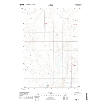 2020 Shonkin2020 Print · USGSChouteau County's ranching country comes into focus in this recent survey of the Shonkin Creek drainage. Local historians can trace the paths of Shonkin Rd and Rode School Rd as they connect the settlement of Shonkin to Shonkin Lake.
 - 2020 Map of Carter, 2020 Print
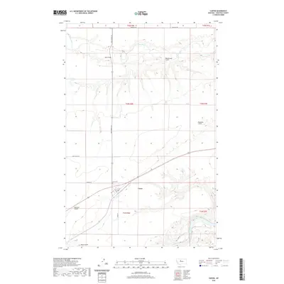 2020 Carter2020 Print · USGSChouteau County's high plains are documented here in the early twenty-first century as the landscape transitions between the Teton and Missouri Rivers. Researchers can trace local landmarks such as Carter Cem, the settlement at Bucks Bridge, and the historic path of the Whoop Up Trl.
 - 2020 Map of Rocky Lake, 2020 Print
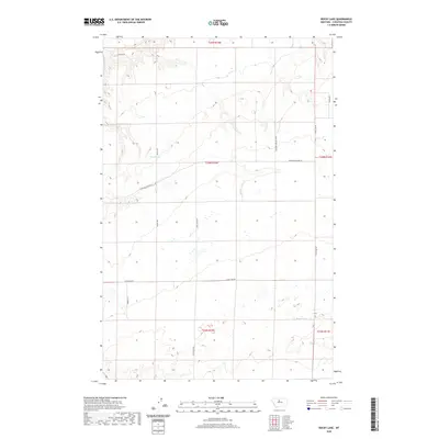 2020 Rocky Lake2020 Print · USGSChouteau County's high plains are mapped here in the 2020s, showing a remote landscape of coulees and seasonal water. Researchers can trace land boundaries and access routes like Missouri Breaks Loop, Rocky Lake, and Barrel Spring.
 - 2020 Map of Stranahan SE, 2020 Print
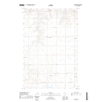 2020 Stranahan SE2020 Print · USGSChouteau County's high plains are captured in the late twenty-teens, showing the agricultural endurance of central Montana. Genealogists and local historians can locate Clear Lake Cem and trace rural routes like Clear Lake Rd and Hardwood Lake Rd.
 - 2020 Map of Pownal, 2020 Print
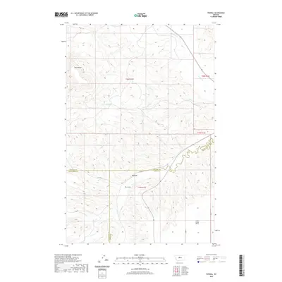 2020 Pownal2020 Print · USGSCentral Montana ranching country is captured here at the tri-county border of Fergus, Chouteau, and Judith Basin. Genealogists and local historians can trace the drainage patterns of Arrow Creek and Cottonwood Creek or locate the rural crossroads at Pownal.
Showing maps 1-25 of 214
Top cities of Chouteau County
Frequently asked questions
- What are the different types of historical maps available for Chouteau County?
- What is the oldest map of Chouteau County?
- Where can I purchase historical maps of Chouteau County for my home or office?
- Where can I download high-res historical maps of Chouteau County?
- Are there historical topographic maps available for Chouteau County?
- Is there historical aerial imagery available for Chouteau County?
- Where are historical maps of Chouteau County sourced from?