2000s (21st Century) Maps of Chouteau County, Montana
Explore 535 historic maps of Chouteau County from the 2000s (21st Century). These maps offer a rare glimpse into what life looked like during the 2000s — showing old roads, neighborhoods, homes, and landmarks that have changed or disappeared over time.
Whether you're researching your family's past, planning a metal detecting trip, or studying how Chouteau County's landscape evolved across the 2000s, these high-resolution maps are a powerful tool for exploring the history of this region.
- Focus on a specific era: All maps on this page are from the 2000s, giving you a focused view of this time period.
- See what’s changed: Compare century-old streets, trails, and buildings to today's modern landscape using overlays and satellite layers.
- Research with precision: Use these maps for genealogy, historical research, land use analysis, or educational projects.
- View, download, or print: Maps are fully viewable online in high resolution, and can be downloaded or printed for your own records.
Start exploring Chouteau County's history through authentic maps from the 2000s. This is your window into the past.
Chouteau County, MT maps
(535)- 2011 Map of Lepleys Creek, 2011 Print
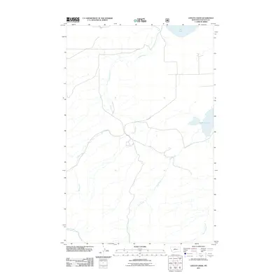 2011 Lepleys Creek2011 Print · USGSChouteau County ranch lands are depicted in detail during the early twenty-first century, highlighting a landscape shaped by water and wire. Researchers can trace the drainage of Lepleys Creek and locate access points near Big Sag Ranch Ln and Big Lake.
 - 2011 Map of Carter Mountain, 2011 Print
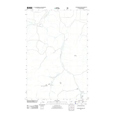 2011 Carter Mountain2011 Print · USGSChouteau County ranching lands and the Shonkin Creek drainage are documented in this 2011 survey of north-central Montana. Researchers can locate family landmarks such as the Upper Shonkin Cemetery, Shonkin Cow Camp, and Bear Gulch.
 - 2011 Map of Antelope Flat, 2011 Print
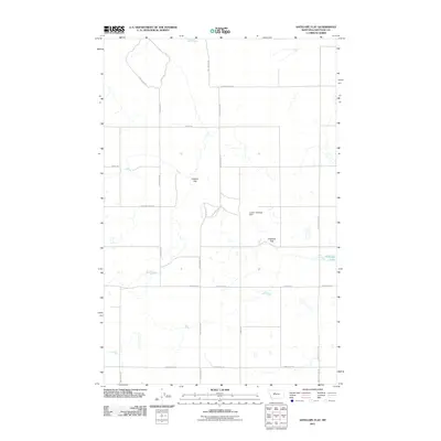 2011 Antelope Flat2011 Print · USGSChouteau County's wide agricultural horizons appear here in the early twenty-first century, showcasing a landscape of isolated ranching flats and rural road grids. Genealogists and local researchers can trace old family routes like Sodbuster Rd and Dent Bridge Rd or locate Leepin' Antelope Dam.
 - 2011 Map of Timber Coulee North, 2011 Print
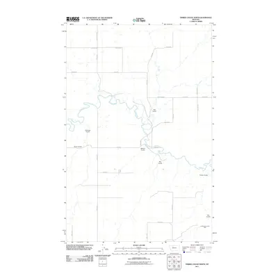 2011 Timber Coulee North2011 Print · USGSTeton County, Montana, is depicted in the early twenty-first century as a landscape defined by the winding Teton River and expansive ranch lands. Researchers can trace rural infrastructure along Faris School Rd or locate the Lumberjack Junior Dam.
 - 2011 Map of Shannon Bridge, 2011 Print
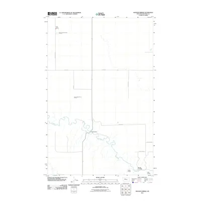 2011 Shannon Bridge2011 Print · USGSChouteau County's rural prairie landscape is centered on the winding Teton River during the early twenty-first century. Genealogists and local historians can locate the German Baptist Church Cemetery and the river landmarks of Shannon Bridge and Woods Crossing.
 - 2011 Map of Flick Lake, 2011 Print
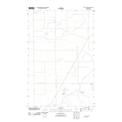 2011 Flick Lake2011 Print · USGSCascade County's open plains are captured here in the early 2000s, showing a landscape of specialized water management and local settlement. Researchers can locate Portage and trace family-named landmarks like Charlotts Webb Dam and the Dick Golie Fish Pond.
 - 2011 Map of Timber Coulee South, 2011 Print
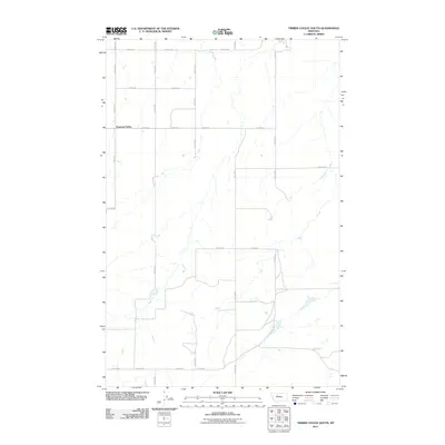 2011 Timber Coulee South2011 Print · USGSDiamond Valley and the surrounding Teton County plains are captured here in the early twenty-first century. Genealogists and local historians can trace the precise road network of this agricultural region, including 18th Rd NE, Dutton Rd E, and the namesake Diamond Valley.
 - 2011 Map of Dent Bridge NE, 2011 Print
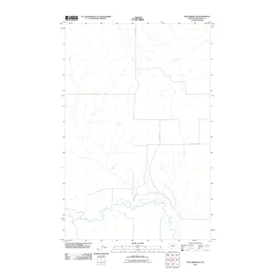 2011 Dent Bridge NE2011 Print · USGSIn the early twenty-first century, the winding Teton River shaped the geography and road networks of northern Chouteau County. Local researchers can trace the routes of rural life along family-named landmarks like Reichelt Ln and the historically significant Apple School Rd.
 - 2011 Map of Benton Lake West, 2011 Print
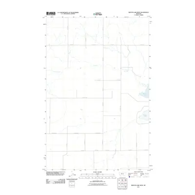 2011 Benton Lake West2011 Print · USGSThe open prairie of north-central Montana is captured here at the turn of the decade, showing a landscape defined by expansive agriculture and the waters of Benton Lake. Researchers can trace rural property lines and access routes like Hevron Rd, Stuckey Rd, and Lake Creek.
 - 2011 Map of Antelope Lake, 2011 Print
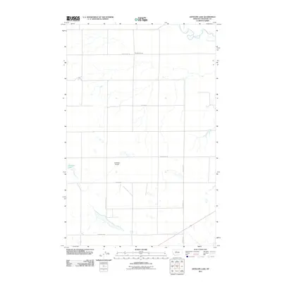 2011 Antelope Lake2011 Print · USGSChouteau County in the early twenty-first century remains a landscape of wide-open ranching land and seasonal waterways. Genealogists and local historians can trace the geography around The School House and the banks of the Teton River or Antelope Lake.
 - 2011 Map of Sheep Coulee Spring, 2011 Print
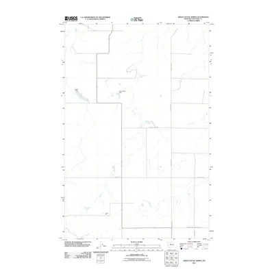 2011 Sheep Coulee Spring2011 Print · USGSChouteau County's rural prairie landscape is captured here in the early twenty-first century, showing a remote agricultural region shaped by water and wind. Genealogists and local historians can trace family land via isolated landmarks like Hilltop Silo and crossings such as Woods Xing S.
 - 2011 Map of Rice Reservoir, 2011 Print
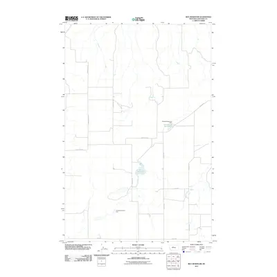 2011 Rice Reservoir2011 Print · USGSChouteau County's agricultural high plains are captured here in the early twenty-first century, showing a landscape defined by water management and rural transit. Trace the local hydrology through Rice Reservoir and landmarks like the uniquely named Chinamans Dinner Dam.
 - 2011 Map of Carter NE, 2011 Print
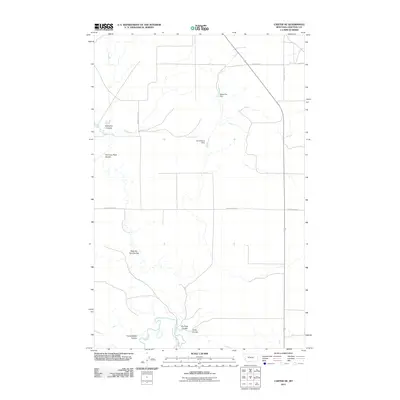 2011 Carter NE2011 Print · USGSChouteau County ranch lands are documented here in the early twenty-first century, showing the essential water and road networks of the high plains. Researchers can locate family-named landmarks like Joe Vielleux Dam and trace the paths of Teton River and Bullberry Coulee.
 - 2011 Map of Rocky Lake, 2011 Print
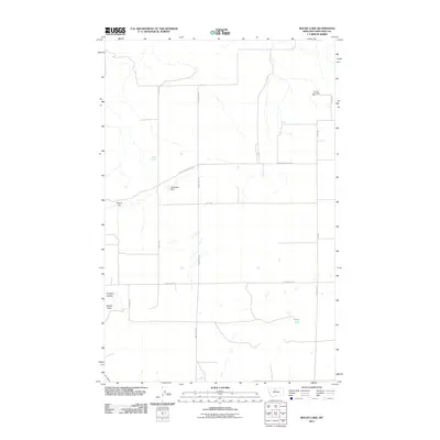 2011 Rocky Lake2011 Print · USGSChouteau County's high plains landscape is captured here in the early 21st century, showing the enduring agricultural grid of North-Central Montana. Genealogists and local historians can trace family-named landmarks like Shaws Peak or find the remote Elim Vol Fire Dept.
 - 2011 Map of Shonkin, 2011 Print
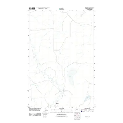 2011 Shonkin2011 Print · USGSThis Chouteau County landscape at the start of the 2010s reveals a rural Montana settlement defined by its water and ridges. Researchers can trace local history along Rode School Rd or locate Shonkin Lake and the small settlement of Shonkin.
 - 2011 Map of O'Hanlon Coulee, 2011 Print
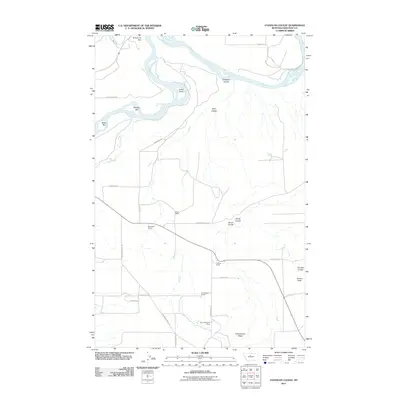 2011 O'Hanlon Coulee2011 Print · USGSBig Sky ranching country and the winding Missouri River are captured here in the early twenty-first century. Genealogists and local historians can trace family landholdings like Streit Ranch and O'Hara Brothers Ranch or follow the path of the old Stagecoach Trl.
 - 2011 Map of Montague, 2011 Print
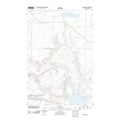 2011 Montague2011 Print · USGSThe settlement of Montague is captured here in the early twenty-first century, surrounded by the distinctive prairie hydrology of Chouteau County. Researchers can locate the Montague Cemetery and trace the paths of Railroad Ave and Kheta Dam across this high plains landscape.
 - 2011 Map of Fort Benton, 2011 Print
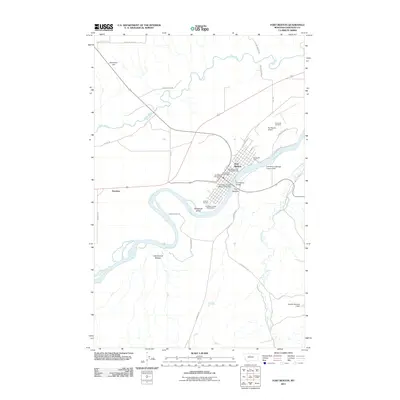 2011 Fort Benton2011 Print · USGSFort Benton and the Missouri River corridor are captured here in the early twenty-first century. Genealogists and local historians can trace family locations near Riverside Cemetery, the settlement of Kershaw, and historic routes like Stagecoach Trl.
 - 2011 Map of Geraldine NE, 2011 Print
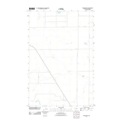 2011 Geraldine NE2011 Print · USGSChouteau County in the early 2000s remains a land of wide-open ranching expanses and isolated water sources. Researchers can trace the local infrastructure and land use through features like Clear Lake, Thurston Dam, and the intersection of Grass Lake Rd.
 - 2011 Map of Highwood, 2011 Print
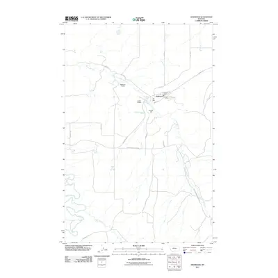 2011 Highwood2011 Print · USGSThe settlement of Highwood and its surrounding creek valleys are captured here in the early twenty-first century. Genealogists and local historians can trace family-named landmarks like Dunbar Hill and Deadman Coulee or locate the Highwood Post Office.
 - 2011 Map of Pilot Rock, 2011 Print
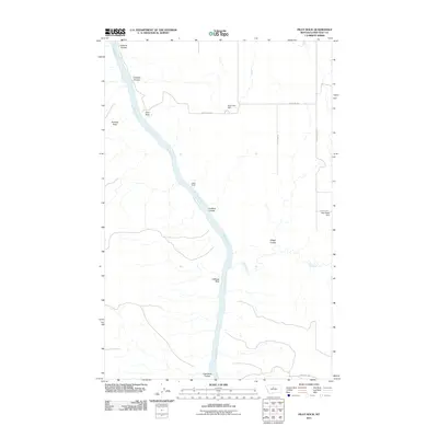 2011 Pilot Rock2011 Print · USGSThe Missouri River breaks in Chouteau County were surveyed in detail just over a decade ago, revealing a landscape of high plateaus and deep coulees. Trace the geography of this river corridor through landmarks like Pilot Rock, LaBarge Rock, and the Pegar Fish Dam.
 - 2011 Map of Shonkin NW, 2011 Print
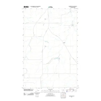 2011 Shonkin NW2011 Print · USGSChouteau County's rural landscape is captured here in the early twenty-first century, showing a remote agricultural region shaped by small-scale irrigation. Researchers can trace land use patterns via Hanford Dam, the settlement at Yemen, and the winding Shonkin Creek.
 - 2011 Map of Dammel Reservoir, 2011 Print
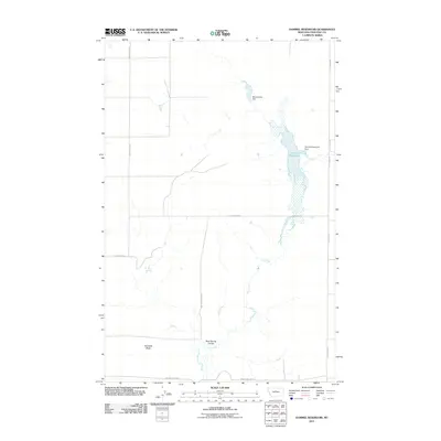 2011 Dammel Reservoir2011 Print · USGSChouteau County ranching lands and water management are captured in this early twenty-first-century survey of the Montana plains. Researchers can trace the drainage of Flat Creek past Haystack Butte to the waters of Dammel Reservoir.
 - 2011 Map of Jiggs Flat, 2011 Print
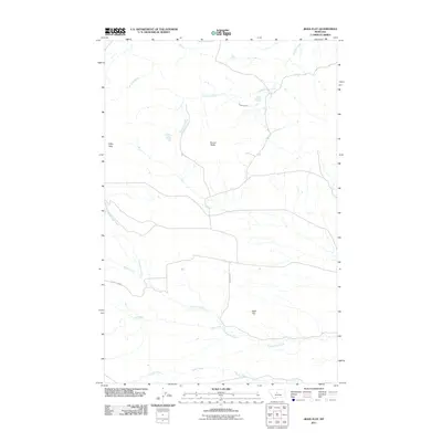 2011 Jiggs Flat2011 Print · USGSChouteau County ranching country is mapped here during the early twenty-first century, showing the enduring landscape of the Montana high plains. Researchers can trace the drainage basins of Cottonwood Creek and Cowboy Creek or locate landmarks like Round Butte.
 - 2011 Map of Belt NE, 2011 Print
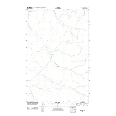 2011 Belt NE2011 Print · USGSCascade County ranching country comes into focus in this early twenty-first-century survey of the Willow Creek drainage. Researchers can trace land use through local landmarks like Willow Creek Ranch and follow the paths of Little Belt Rd and Thibedeau Rd.
Showing maps 1-25 of 535
Top cities of Chouteau County
Frequently asked questions
- What are the different types of historical maps available for Chouteau County?
- What is the oldest map of Chouteau County?
- Where can I purchase historical maps of Chouteau County for my home or office?
- Where can I download high-res historical maps of Chouteau County?
- Are there historical topographic maps available for Chouteau County?
- Is there historical aerial imagery available for Chouteau County?
- Where are historical maps of Chouteau County sourced from?