2020s Maps of Fallon County, Montana
Explore 90 historic maps of Fallon County from the 2020s. These maps offer a rare glimpse into what life looked like during the 2020s — showing old roads, neighborhoods, homes, and landmarks that have changed or disappeared over time.
Whether you're researching your family's past, planning a metal detecting trip, or studying how Fallon County's landscape evolved across the 2020s, these high-resolution maps are a powerful tool for exploring the history of this region.
- Focus on a specific era: All maps on this page are from the 2020s, giving you a focused view of this time period.
- See what’s changed: Compare century-old streets, trails, and buildings to today's modern landscape using overlays and satellite layers.
- Research with precision: Use these maps for genealogy, historical research, land use analysis, or educational projects.
- View, download, or print: Maps are fully viewable online in high resolution, and can be downloaded or printed for your own records.
Start exploring Fallon County's history through authentic maps from the 2020s. This is your window into the past.
Fallon County, MT maps
(90)- 2020 Map of Dutchmans Hill, 2020 Print
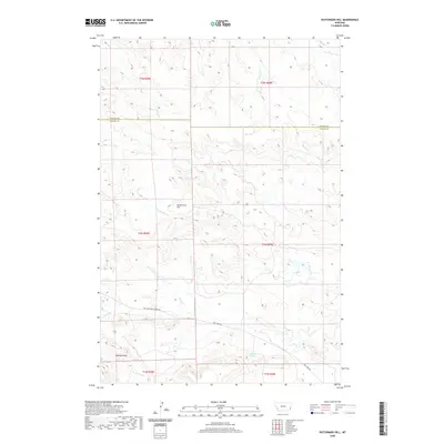 2020 Dutchmans Hill2020 Print · USGSSoutheastern Montana's high plains are documented here in the early twenty-first century as they span the county line. Researchers can trace remote transit routes like Mill Iron Rd and locate geographic markers such as Dutchmans Hill and Reynolds Spring.
 - 2020 Map of Flasted Hill, 2020 Print
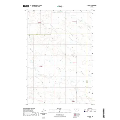 2020 Flasted Hill2020 Print · USGSFallon and Carter counties are captured in this recent survey, showcasing a landscape defined by expansive ranching terrain and complex creek systems. Researchers can trace the paths of Flasted Cr and Horse Cr or locate landmarks like Flasted Hill.
 - 2020 Map of Terrell Creek, 2020 Print
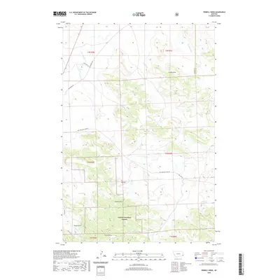 2020 Terrell Creek2020 Print · USGSFallon and Carter Counties are seen here in the modern era as a landscape of high-plains springs and forest. Researchers can locate family-named landmarks and water sources like Flasted Spring, Heggen Draw, and the prominent Chimney Rock.
 - 2020 Map of Bracket Butte, 2020 Print
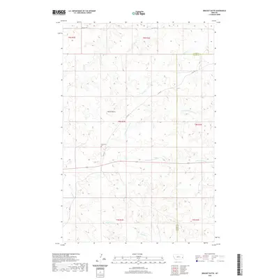 2020 Bracket Butte2020 Print · USGSFallon and Custer counties appear in this recent survey of the Montana plains, where the high ground of Bracket Butte overlooks the local drainage basins. Researchers can locate the Cottonwood Cem and trace rural routes like 11 Mile Rd.
 - 2020 Map of Badland Draw, 2020 Print
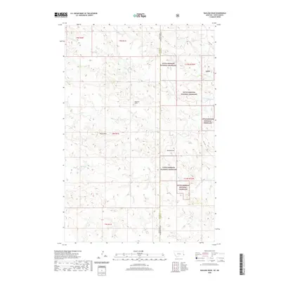 2020 Badland Draw2020 Print · USGSThe Montana-North Dakota borderlands are mapped here during the 2020s, showing the intersection of Little Missouri National Grassland and Fallon County. Trace family grazing lands near Haystack Butte and the old route of OLD 16 RD.
 - 2020 Map of Waterhole Creek, 2020 Print
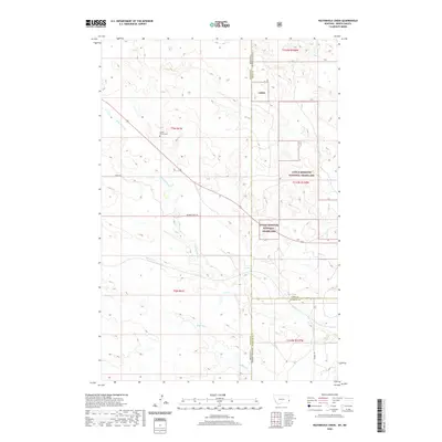 2020 Waterhole Creek2020 Print · USGSThe high prairie of the Montana and North Dakota border comes alive in this contemporary survey. Genealogists and researchers can trace the early settlement of this remote region through the Fertile Prairie Cem and the Buffalo Jump Trl.
 - 2020 Map of Cap Rock, 2020 Print
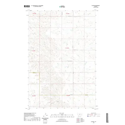 2020 Cap Rock2020 Print · USGSFallon and Wibaux Counties are surveyed here in the early twenty-first century, showing a high-plains landscape defined by its creek drainages and section lines. Researchers can trace land tracts near Cap Rock and the winding paths of Cedar Creek and Ash Creek.
 - 2020 Map of Lawrence Creek East, 2020 Print
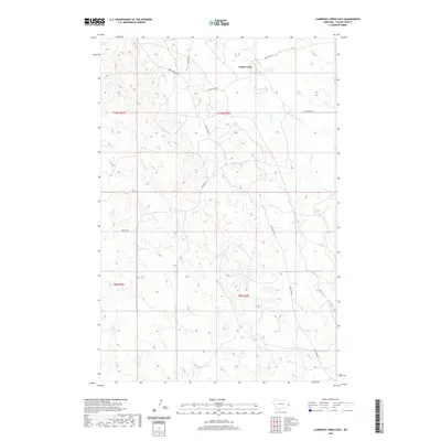 2020 Lawrence Creek East2020 Print · USGSEastern Montana ranching country is documented here in the early twenty-first century, showing a landscape shaped by water and wire. Researchers can trace the drainage of Cabin Creek and find rural landmarks like Anticline Rd and Cap Rock Rd.
 - 2020 Map of Piney Butte, 2020 Print
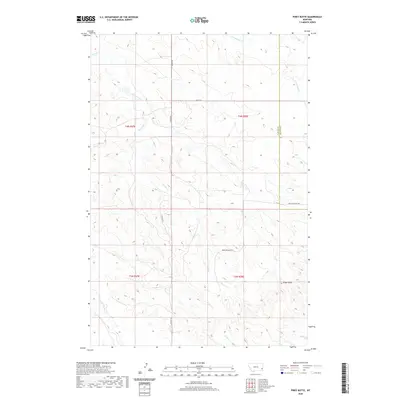 2020 Piney Butte2020 Print · USGSHigh plains rangeland and deep drainage basins define this portion of eastern Montana in the early twenty-first century. Researchers can trace the paths of Pleyna Rd and Medicine Rocks RD as they wind past landmarks like Piney Butte.
 - 2020 Map of Snider Hill, 2020 Print
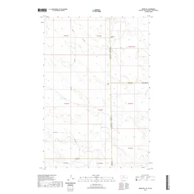 2020 Snider Hill2020 Print · USGSThe tri-state border region of Montana, North Dakota, and South Dakota is captured here in detail as of 2020. Researchers can trace the intersection of four counties and follow remote landmarks like Snider Hill, Monument Butte, and the Horse Creek Trl.
 - 2020 Map of Ollie, 2020 Print
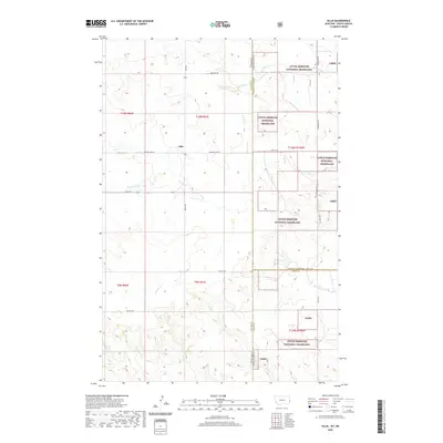 2020 Ollie2020 Print · USGSThe Montana-North Dakota borderlands come into focus in this contemporary survey of the high plains. Researchers can trace the drainage of Beaver Creek and identify property boundaries near Ollie and the Little Missouri National Grassland.
 - 2020 Map of Morris Butte, 2020 Print
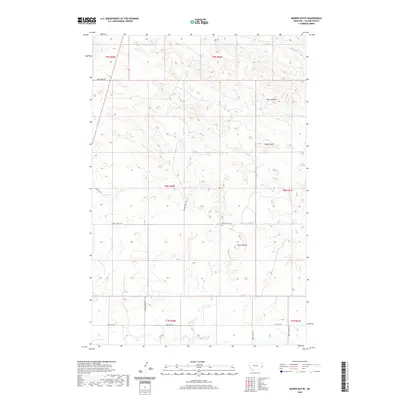 2020 Morris Butte2020 Print · USGSFallon County's high plains landscape comes into focus in this contemporary survey of eastern Montana. Genealogists and land researchers can trace historic routes and landmarks like School House Rd, Morris Butte, and the winding path of Johny Cr.
 - 2020 Map of T G Creek, 2020 Print
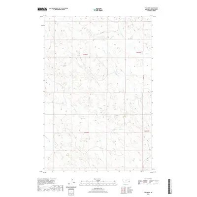 2020 T G Creek2020 Print · USGSFallon County at the start of the 2020s remains a landscape defined by its high-plains drainage systems and essential rural trails. Researchers can trace the winding courses of T G Cr and Timber Cr or follow the path of Dog Town Trl across these vast townships.
 - 2020 Map of Seven-up Butte, 2020 Print
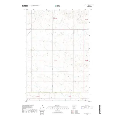 2020 Seven-up Butte2020 Print · USGSFallon County at the start of the 2020s remains a landscape of high-plains ranching and scattered family landmarks. Researchers can locate Lame Jones Cem and trace the paths of Lame Jones Cr and Milk Cr through this quiet corner of Montana.
 - 2020 Map of Lawrence Creek West, 2020 Print
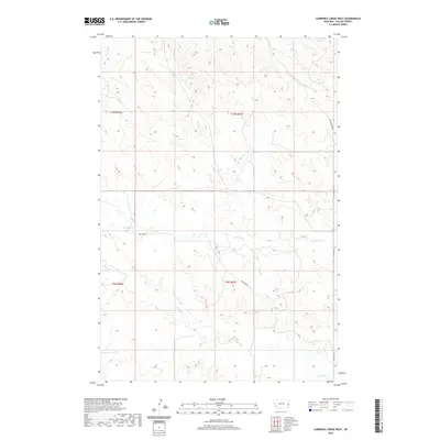 2020 Lawrence Creek West2020 Print · USGSFallon County ranching country remains defined by its seasonal watercourses and remote trail networks in this recent survey. Local historians and land researchers can trace the routes of Coal Springs Trl and Dry Fork Rd as they cross the drainages of Pennel Cr and Dry Fork Cr.
 - 2020 Map of South Sandstone Reservoir, 2020 Print
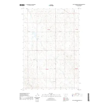 2020 South Sandstone Reservoir2020 Print · USGSFallon County at the start of the 2020s shows a high plains landscape shaped by drainage and rural roads. Genealogists and local historians can trace the paths of S Fork Sandstone Cr and find landmarks like Green Acres Rd and Reservoir Trl.
 - 2020 Map of Medicine Rocks State Park, 2020 Print
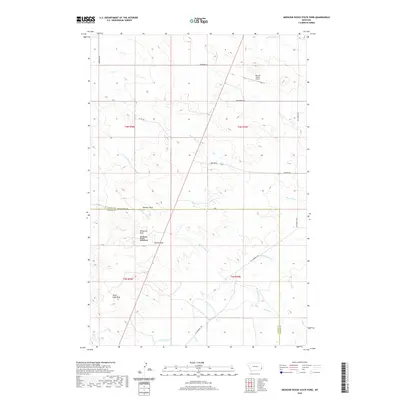 2020 Medicine Rocks State Park2020 Print · USGSSoutheastern Montana's high plains are revealed in this modern survey of the Fallon and Carter County borderlands. Researchers can locate distinctive sandstone landmarks like Alcatraz Rock and Roosevelt Rock or trace drainages such as Sheep Camp Cr and Hagen Cr.
 - 2020 Map of Carlyle, 2020 Print
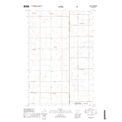 2020 Carlyle2020 Print · USGSThe high plains along the North Dakota-Montana border come into focus in this recent survey. Researchers can trace the rural layout of Carlyle and find local landmarks such as Carlyle Cem, Johnstone Dam, and the Little Missouri National Grassland.
 - 2020 Map of Rocking Chair Butte, 2020 Print
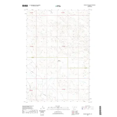 2020 Rocking Chair Butte2020 Print · USGSEastern Montana cattle country comes into focus in this recent survey of the Wibaux and Fallon county line. Researchers can trace the drainage of Cedar Creek or the long stretches of Anticline Road and Bar Nothing Road through the plains.
 - 2020 Map of Willard, 2020 Print
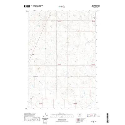 2020 Willard2020 Print · USGSFallon County rangelands come into focus in this recent survey of eastern Montana. Genealogists and local historians can trace the paths of Old Baker Hwy and Wiley Butte Trl near the settlement of Willard.
 - 2020 Map of Ayer Spring, 2020 Print
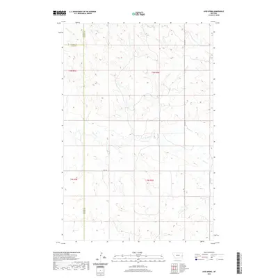 2020 Ayer Spring2020 Print · USGSFallon County at the start of the 2020s remains a landscape of open range and winding coulees where three counties meet. Researchers can trace the drainage of Pennel Cr and Dry Fork Cr or follow rural routes like Riley Trl.
 - 2020 Map of Webster NW, 2020 Print
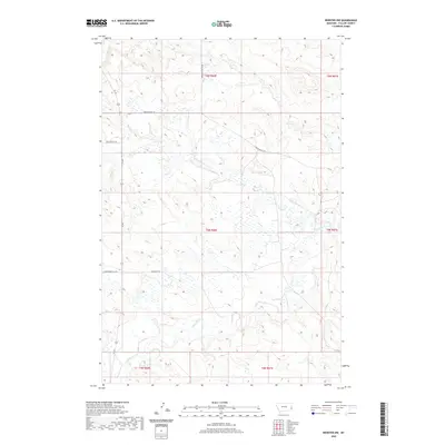 2020 Webster NW2020 Print · USGSFallon County ranch land is captured in this modern survey of eastern Montana's high plains. Researchers can trace seasonal watercourses and rural access routes like Little Beaver Cr, Wrangler Trl, and Brackett Butte Rd.
 - 2020 Map of Little Pine Creek, 2020 Print
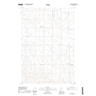 2020 Little Pine Creek2020 Print · USGSFallon County ranching country is documented here in the early twenty-first century, showing the intersection of waterway drainage and section-line roads. Trace the course of Little Pine Cr and Brush Creek or locate rural routes like Plevna Rd S.
 - 2020 Map of Willard SE, 2020 Print
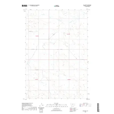 2020 Willard SE2020 Print · USGSSoutheastern Montana's ranching country is documented here in the early twenty-first century, showing a landscape shaped by vast grazing tracts and prairie drainages. Researchers can trace land use patterns and rural transit along Shelterbelt Rd and the banks of Little Beaver Cr.
 - 2020 Map of Harmon Butte, 2020 Print
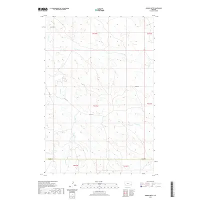 2020 Harmon Butte2020 Print · USGSThe high plains of the Montana borderlands are documented here during a period of modern ranching and rural land management. Researchers can trace the essential water routes that sustain this area, including O'Fallon Cr, Harmon Butte, and Lame Jones Cr.
Showing maps 1-25 of 90
Top cities of Fallon County
Frequently asked questions
- What are the different types of historical maps available for Fallon County?
- What is the oldest map of Fallon County?
- Where can I purchase historical maps of Fallon County for my home or office?
- Where can I download high-res historical maps of Fallon County?
- Are there historical topographic maps available for Fallon County?
- Is there historical aerial imagery available for Fallon County?
- Where are historical maps of Fallon County sourced from?