2000s (21st Century) Maps of Fallon County, Montana
Explore 225 historic maps of Fallon County from the 2000s (21st Century). These maps offer a rare glimpse into what life looked like during the 2000s — showing old roads, neighborhoods, homes, and landmarks that have changed or disappeared over time.
Whether you're researching your family's past, planning a metal detecting trip, or studying how Fallon County's landscape evolved across the 2000s, these high-resolution maps are a powerful tool for exploring the history of this region.
- Focus on a specific era: All maps on this page are from the 2000s, giving you a focused view of this time period.
- See what’s changed: Compare century-old streets, trails, and buildings to today's modern landscape using overlays and satellite layers.
- Research with precision: Use these maps for genealogy, historical research, land use analysis, or educational projects.
- View, download, or print: Maps are fully viewable online in high resolution, and can be downloaded or printed for your own records.
Start exploring Fallon County's history through authentic maps from the 2000s. This is your window into the past.
Fallon County, MT maps
(225)- 2011 Map of Flasted Hill, 2011 Print
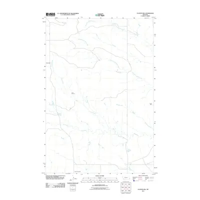 2011 Flasted Hill2011 Print · USGSFallon County ranching country is documented here in the early twenty-first century, showing a landscape shaped by water management and high plains topography. Researchers can trace the paths of Flasted Creek and Horse Creek or locate landmarks like Sand Rock Dam and Flasted Hill.
 - 2011 Map of Snider Hill, 2011 Print
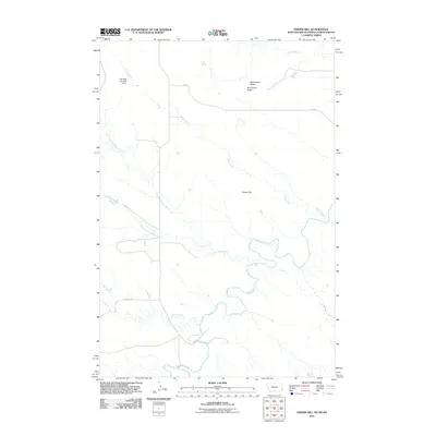 2011 Snider Hill2011 Print · USGSThe Montana and Dakota borderlands are captured here in the early 21st century, showing a remote landscape of high-plains ranching. Researchers can trace the winding paths of Boxelder Creek and locate landmarks like Monument Butte or the Meccage Number 3 Dam.
 - 2011 Map of Dutchmans Hill, 2011 Print
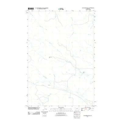 2011 Dutchmans Hill2011 Print · USGSFallon County, Montana, at the start of the 2010s reveals a ranching landscape organized around essential water sources and high ground. Researchers can trace land use patterns near Dutchmans Hill or locate historic water improvements like Nies Dam and Reynolds Spring.
 - 2011 Map of Terrell Creek, 2011 Print
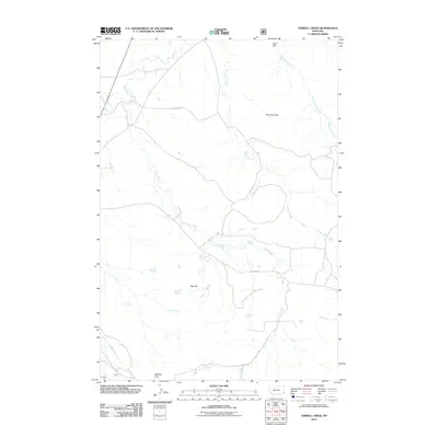 2011 Terrell Creek2011 Print · USGSThe eastern Montana plains near the Ekalaka Hills come into focus in the early twenty-first century, showing a landscape defined by seasonal drainages and vital water sources. Trace landmarks like Chimney Rock, the Zelzo Dam, and family-named points like Kinsey Spring.
 - 2011 Map of Seven-up Butte, 2011 Print
 2011 Seven-up Butte2011 Print · USGSFallon County in the early twenty-first century is a landscape of high plains ranching and remote creek beds. Genealogists and researchers can locate the Lame Jones Cemetery or trace the drainage of Milk Creek past family-named sites like the Ed Rath Number 1 Dam.
 - 2011 Map of Dorothy Draw, 2011 Print
 2011 Dorothy Draw2011 Print · USGSFallon County's rural plains are documented here in the early twenty-first century, showing a landscape shaped by creek beds and draws. Researchers can trace the drainage patterns of Cabin Creek and locate water landmarks like Cabin Dam and Rattlesnake Dam.
 - 2011 Map of Baker NE, 2011 Print
 2011 Baker NE2011 Print · USGSFallon County at the start of the 2010s reveals a landscape shaped by energy production and quiet prairie life. Genealogists and historians can trace the rural infrastructure around Bonnievale Cemetery and the industrial footprint of the Pennel Oil Field.
 - 2011 Map of Scole School, 2011 Print
 2011 Scole School2011 Print · USGSFallon County at the turn of the decade is shown here as a landscape defined by energy and remote rangeland. Researchers can trace the layout of the Little Beaver Oil Field and natural landmarks like The Colosseum.
 - 2011 Map of Little Pine Creek, 2011 Print
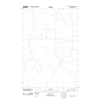 2011 Little Pine Creek2011 Print · USGSFallon County at the start of the 2010s remains a landscape of wide-open prairie and essential water management. Researchers can trace the winding paths of Little Pine Creek and Brush Creek or locate the local O'Henry Dam.
 - 2011 Map of Willard, 2011 Print
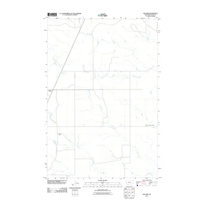 2011 Willard2011 Print · USGSWillard and the surrounding Fallon County ranchlands are captured here in the early twenty-first century as a network of prairie creeks and rural section roads. Researchers can trace local water management and land use via Lindstrom Dam, Richards Creek, and the R Myhre Number 1 Dam.
 - 2011 Map of Ismay South, 2011 Print
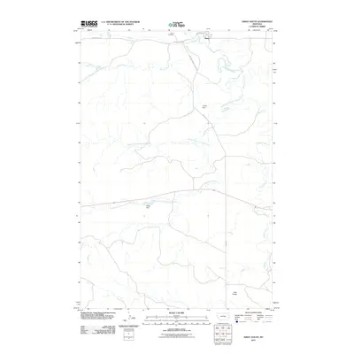 2011 Ismay South2011 Print · USGSThe area around Ismay is captured here in the early twenty-first century, showing the town's position above the junction of O'Fallon Creek. Local historians can trace the paths of the Mildred-Ismay Cut Across and locate the Ismay Cemetery.
 - 2011 Map of Lawrence Creek East, 2011 Print
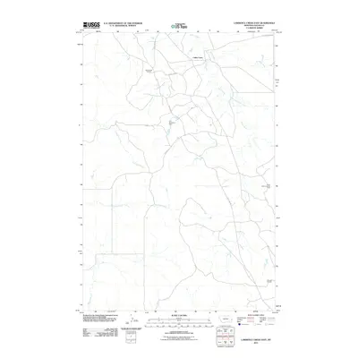 2011 Lawrence Creek East2011 Print · USGSFallon County at the start of the 2010s shows a landscape deeply integrated with the regional petroleum industry. Researchers can trace the extents of the Cabin Creek Oil Field and Monarch Oil Field alongside the waters of Wills Creek and Lawrence Creek.
 - 2011 Map of Baker NW, 2011 Print
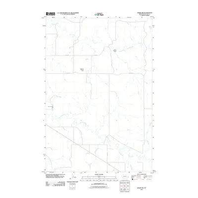 2011 Baker NW2011 Print · USGSFallon County ranching and water management are front and center in this modern Montana survey. Genealogists and researchers can trace family-named landmarks and water sources like Oscar Number 1 Dam, Pennel Rd, and Pennel Creek.
 - 2011 Map of Buffalo Reservoir, 2011 Print
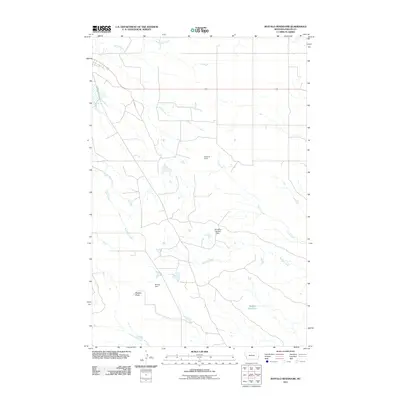 2011 Buffalo Reservoir2011 Print · USGSFallon County at the start of the twenty-first century reveals a landscape of ranching and essential water infrastructure. Researchers can trace the rail history at Kingmont Siding or locate local landmarks like Bracket Butte and Buffalo Reservoir.
 - 2011 Map of Webster NE, 2011 Print
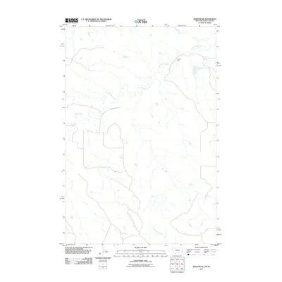 2011 Webster NE2011 Print · USGSThe Montana-North Dakota borderlands come into focus in the early 2010s, showing a landscape shaped by rural ranching and natural drainage. Trace the winding paths of Little Beaver Creek and Buffalo Creek or locate local landmarks like Bradac Dam.
 - 2011 Map of Bracket Butte SE, 2011 Print
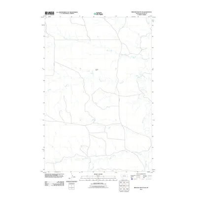 2011 Bracket Butte SE2011 Print · USGSFallon County at the start of the 2010s is a landscape defined by its vital water sources and remote road networks. You can trace the drainage of O'Fallon Creek and Miles City Creek or locate the infrastructure of Savage Dam.
 - 2011 Map of Westmore, 2011 Print
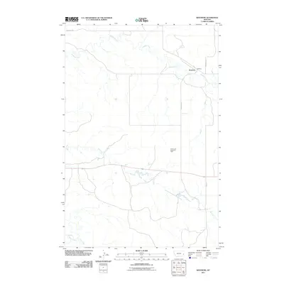 2011 Westmore2011 Print · USGSThe Montana prairie around Westmore is captured here during the early twenty-first century, showing a landscape defined by its remote watercourses and rural road networks. Researchers can trace the path of Sandstone Creek or locate the Ehret Land Reservoir Dam.
 - 2011 Map of Webster NW, 2011 Print
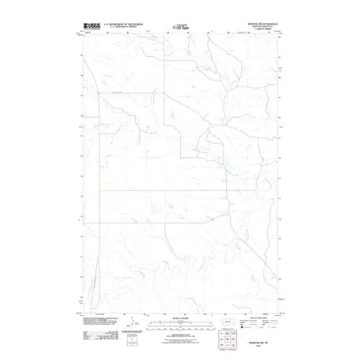 2011 Webster NW2011 Print · USGSFallon County's high plains landscape is captured here in the early twenty-first century, showing a remote corner of Montana's cattle country. Trace the winding drainage of Little Beaver Creek or the paths of Country Road 4 and County Hwy 322.
 - 2011 Map of Carlyle NW, 2011 Print
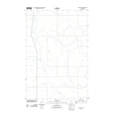 2011 Carlyle NW2011 Print · USGSFallon County in the early twenty-first century remains a landscape shaped by its waterways and prairie roads. Genealogists and historians can trace the paths of Beaver Creek and Lone Tree Creek or locate rural holdings along Lamesteer Rd.
 - 2011 Map of Morris Butte, 2011 Print
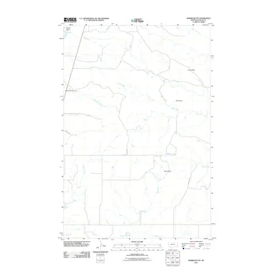 2011 Morris Butte2011 Print · USGSFallon County ranch land is captured here in the early twenty-first century, showing a remote landscape shaped by prairie buttes and seasonal water. Trace the rural road network near Morris Butte and water features like Mildred Number 1 Dam.
 - 2011 Map of Foundation Spring, 2011 Print
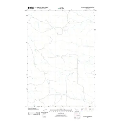 2011 Foundation Spring2011 Print · USGSFallon County at the start of the 2010s remains a landscape defined by its vital water sources and remote ranch roads. Researchers can trace the drainage patterns of Miles City Creek and locate landmarks like Foundation Spring and Mispah Rd.
 - 2011 Map of Sportsman Pond, 2011 Print
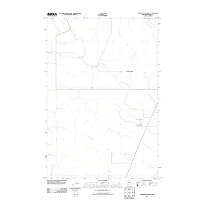 2011 Sportsman Pond2011 Print · USGSFallon County in the early twenty-first century remains a landscape of sprawling ranchlands and seasonal waterways. Trace the intricate drainage networks of Lame Jones Creek and find local landmarks like Bearhorn Butte and Sportsman Pond.
 - 2011 Map of Carlyle, 2011 Print
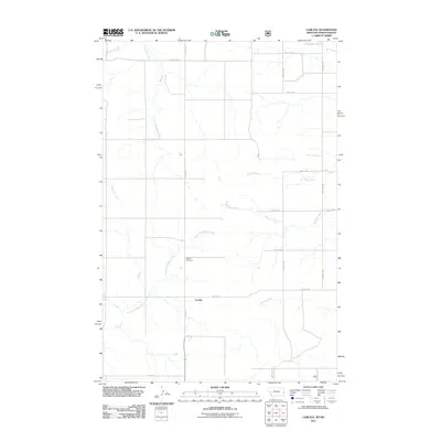 2011 Carlyle2011 Print · USGSThe borderlands of North Dakota and Montana are captured here in the early twenty-first century, showcasing a rural landscape of section-line roads and prairie streams. Genealogists can locate the Carlyle Cemetery and trace the paths of Bullion Creek and Williams Creek.
 - 2011 Map of Cap Rock, 2011 Print
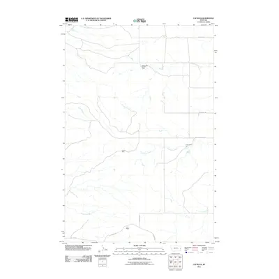 2011 Cap Rock2011 Print · USGSFallon County ranch lands are documented here in the early 2000s, showing a landscape defined by vital water management and livestock infrastructure. Researchers can trace local water features and rural routes like Virgil Larson Dam, Cap Rock, and Beacon Hill Rd.
 - 2011 Map of Harmon Butte, 2011 Print
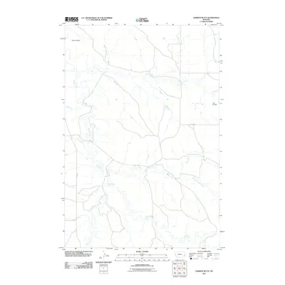 2011 Harmon Butte2011 Print · USGSFallon County's rangelands are documented here at the start of the 2010s, showing a landscape shaped by prairie drainage and ranching roads. Researchers can trace land features like Harmon Butte and local landmarks such as 7-Up Sea Dam and Ismay Rd.
Showing maps 1-25 of 225
Top cities of Fallon County
Frequently asked questions
- What are the different types of historical maps available for Fallon County?
- What is the oldest map of Fallon County?
- Where can I purchase historical maps of Fallon County for my home or office?
- Where can I download high-res historical maps of Fallon County?
- Are there historical topographic maps available for Fallon County?
- Is there historical aerial imagery available for Fallon County?
- Where are historical maps of Fallon County sourced from?