1960s Maps of Missoula County, Montana
Explore 59 historic maps of Missoula County from the 1960s. These maps offer a rare glimpse into what life looked like during the 1960s — showing old roads, neighborhoods, homes, and landmarks that have changed or disappeared over time.
Whether you're researching your family's past, planning a metal detecting trip, or studying how Missoula County's landscape evolved across the 1960s, these high-resolution maps are a powerful tool for exploring the history of this region.
- Focus on a specific era: All maps on this page are from the 1960s, giving you a focused view of this time period.
- See what’s changed: Compare century-old streets, trails, and buildings to today's modern landscape using overlays and satellite layers.
- Research with precision: Use these maps for genealogy, historical research, land use analysis, or educational projects.
- View, download, or print: Maps are fully viewable online in high resolution, and can be downloaded or printed for your own records.
Start exploring Missoula County's history through authentic maps from the 1960s. This is your window into the past.
Missoula County, MT maps
(59)- 1960 Map of Butte
 1960 Butte1960 Print · USGSWestern Montana at the dawn of the sixties is defined by its industrial mining hubs and the railroads that connect them. Genealogists and historians can trace the routes of the Milwaukee Road through Butte or locate smaller settlements like Southern Cross and Bearmouth.
 - 1960 Map of Wallace
 1960 Wallace1960 Print · USGSNorthwestern Montana and the Idaho panhandle are captured in the late fifties, showing the vast Flathead Indian Reservation and the mining districts of the Bitterroot Range. Researchers can trace the rail lines of the Northern Pacific or locate early sites like the Morning Mine and the National Bison Range.
 - 1960 Map of Hamilton
 1960 Hamilton1960 Print · USGSThe Bitterroot Valley and surrounding high country are captured here during the late fifties, showing the region's transition into a modern forest and rail corridor. Researchers can trace the path of the Northern Pacific through Missoula or locate landmarks like Fort Missoula and Lake Como.
 - 1960 Map of Superior, 1962 Print
 1960 Superior1962 Print · USGSThe Clark Fork valley in the early sixties was a rugged industrial corridor defined by the Northern Pacific and Milwaukee Road rail lines. Genealogists and historians can trace the foundations of Superior or locate remote mining sites like the Iron Mountain Mine and Old Mountain Mines.2 unique versions available
 - 1962 Map of Choteau
 1962 Choteau1962 Print · USGSThe Rocky Mountain Front meets the western plains in the early 1960s, showing a landscape defined by the Continental Divide. Genealogists and researchers can trace the tracks of the Great Northern and find settlements like Choteau, Augusta, and Bynum.
 - 1962 Map of Butte
 1962 Butte1962 Print · USGSWestern Montana in the early sixties remains a landscape of industrial muscle and high-mountain passes. Trace the rail lines of the Northern Pacific through Deer Lodge and the mining history around Anaconda and Philipsburg.
 - 1963 Map of Primrose, 1967 Print
 1963 Primrose1967 Print · USGSMissoula County at the start of the 1960s shows a landscape shaped by rail lines and irrigation networks. Genealogists and historians can trace the paths of two major railroads and locate local landmarks like Grass Valley Sch, Harper Bridge, and the settlement of Primrose.2 unique versions available
 - 1964 Map of Hamilton
 1964 Hamilton1964 Print · USGSThe Bitterroot Valley and its surrounding peaks are captured in detail during the mid-1960s, showing the early infrastructure of the Northern Rockies. Genealogists and historians can trace family roots in Hamilton and Stevensville or follow the historic Lolo Trail and Nez Perce Trail.
 - 1964 Map of Diamond Point, 1967 Print
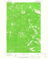 1964 Diamond Point1967 Print · USGSMissoula County's backcountry is captured in the mid-sixties, showing the remote drainages of the Lolo National Forest. Researchers can trace old mountain routes like the Grave Creek Trail and find family-named landmarks like Wild Horse Point.2 unique versions available
 - 1964 Map of Lolo Hot Springs, 1967 Print
 1964 Lolo Hot Springs1967 Print · USGSThe Bitterroot high country along the Montana and Idaho border comes into focus in the mid-1960s. Trace the paths of early forest travel through Lolo Pass, find the State Line Cabin, and locate landmarks like Snowshoe Falls and Packer Meadows.3 unique versions available
 - 1964 Map of Garden Point, 1967 Print
 1964 Garden Point1967 Print · USGSMissoula County in the 1960s is characterized by its deep forest management and historic trail networks. Researchers can trace the layout of the Lolo Ranger Station and follow antique routes like the Howard Creek Trail and Wagon Mountain Road.
 - 1964 Map of Dick Creek, 1967 Print
 1964 Dick Creek1967 Print · USGSThe Montana and Idaho borderlands are captured here in the mid-1960s, showing the intersection of three different national forests. Backcountry historians and researchers can trace the Sally Ridge Trail, locate the Ward Lode Mine, and find secluded water like Marys Pond.3 unique versions available
 - 1964 Map of Northwest Missoula, 1967 Print
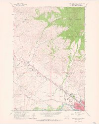 1964 Northwest Missoula1967 Print · USGSMissoula during the mid-sixties shows a growing city meeting the forest edge and a busy aviation corridor. Researchers can trace historic burial sites at the Indian Burial Ground and St Mary Cem, or locate landmarks like the US Forest Service Aerial Fire Depot.3 unique versions available
 - 1964 Map of West Fork Butte, 1967 Print
 1964 West Fork Butte1967 Print · USGSThe Bitterroot wilderness on the Montana-Idaho border comes into focus in the mid-1960s, showing the intersection of two national forests. Trace the remote fire towers at Lookout 6137 and Lookout 7215, or locate high alpine waters at Granite Lake and Lily Lake.2 unique versions available
 - 1964 Map of Blue Mountain, 1967 Print
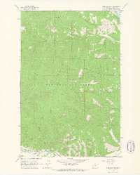 1964 Blue Mountain1967 Print · USGSThe Lolo National Forest was a hub of mining and timber management in the mid-1960s. Researchers can locate the Chickaman Mine and trace family-named landmarks like Anderson Gulch or the historical site of Schoolhouse Gulch along Lolo Creek.3 unique versions available
 - 1964 Map of Camp Creek, 1967 Print
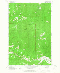 1964 Camp Creek1967 Print · USGSMissoula County is captured in the mid-1960s, showing a rugged landscape where the Bitterroot mountains meet the Lolo Creek corridor. Researchers can locate family landmarks such as the Woodman Sch, early mining attempts like the Prospect, and the heights of Telephone Butte.2 unique versions available
 - 1964 Map of Deer Peak, 1967 Print
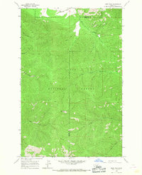 1964 Deer Peak1967 Print · USGSMineral and Missoula counties are shown here in the mid-1960s, dominated by the timbered basins of the Lolo National Forest. Researchers can trace the path of the Northern Pacific railroad and locate the Deer Peak Lookout Tower above West Fork Petty Creek.2 unique versions available
 - 1964 Map of Petty Mountain, 1967 Print
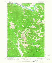 1964 Petty Mountain1967 Print · USGSMissoula and Mineral counties are defined by the Clark Fork river and dual rail lines during the mid-sixties. Trace the historical routes of the Northern Pacific through Alberton or locate the Copper Smith Mine tucked within the Lolo National Forest.
 - 1964 Map of Southeast Missoula, 1967 Print
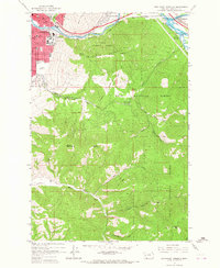 1964 Southeast Missoula1967 Print · USGSSoutheast Missoula and the Lolo National Forest are captured in the mid-1960s as the Interstate era begins to reshape the Clark Fork valley. Researchers can trace the growth of the University of Montana campus and locate early landmarks like the Milltown Dam and Hellgate High Sch.3 unique versions available
 - 1964 Map of Southwest Missoula, 1967 Print
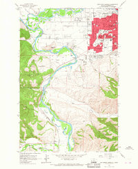 1964 Southwest Missoula1967 Print · USGSMissoula and the Bitterroot Valley are captured here in the mid-sixties, showing a city expanding into its orchard lands and river flats. Researchers can trace the grounds of Fort Missoula, numerous neighborhood schools, and local landmarks like the Maclay Bridge.2 unique versions available
 - 1964 Map of Northeast Missoula, 1967 Print
 1964 Northeast Missoula1967 Print · USGSMissoula and its northeast foothills are captured in the mid-1960s, showing the city's reach toward the Lolo National Forest. Local historians can trace the early residential limits near St Mary Cem, the rural character of Bandmann Flats, and old irrigation works like Williams Ditch.3 unique versions available
 - 1964 Map of Lupine Creek, 1967 Print
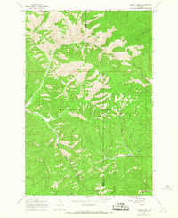 1964 Lupine Creek1967 Print · USGSIn the mid-1960s, the Mineral and Missoula county line was a remote landscape of high ridges and pack trails. Researchers can trace historical backcountry routes like the Mountain Wagon Road near Howard Creek Meadows and Tepee Ridge.
 - 1964 Map of Granite Pass, 1967 Print
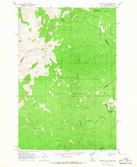 1964 Granite Pass1967 Print · USGSThe Bitterroot wilderness in the mid-1960s is captured here along the high divide between Idaho and Montana. Hikers and historians can trace the remote State Line Trail and locate the Lookout Tower near the headwaters of Crooked Fork.2 unique versions available
 - 1965 Map of Union Peak, 1967 Print
 1965 Union Peak1967 Print · USGSThe mining districts along the Missoula and Granite county border are captured here in the mid-1960s. Researchers can locate the Coloma Cem and trace old workings like the Copper Cliff Mine and Clemantha Mine.
 - 1965 Map of Sunflower Mountain, 1967 Print
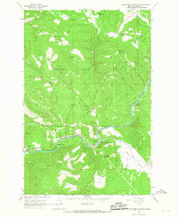 1965 Sunflower Mountain1967 Print · USGSThe Blackfoot River valley in the mid-1960s was a rugged corridor of rail and forest management. Trace the Milwaukee Road through McNamara or locate the Gold Creek Guard Station and Johnsrud Park.
Showing maps 1-25 of 59
Top cities of Missoula County
Frequently asked questions
- What are the different types of historical maps available for Missoula County?
- What is the oldest map of Missoula County?
- Where can I purchase historical maps of Missoula County for my home or office?
- Where can I download high-res historical maps of Missoula County?
- Are there historical topographic maps available for Missoula County?
- Is there historical aerial imagery available for Missoula County?
- Where are historical maps of Missoula County sourced from?