1990s Maps of Missoula County, Montana
Explore 67 historic maps of Missoula County from the 1990s. These maps offer a rare glimpse into what life looked like during the 1990s — showing old roads, neighborhoods, homes, and landmarks that have changed or disappeared over time.
Whether you're researching your family's past, planning a metal detecting trip, or studying how Missoula County's landscape evolved across the 1990s, these high-resolution maps are a powerful tool for exploring the history of this region.
- Focus on a specific era: All maps on this page are from the 1990s, giving you a focused view of this time period.
- See what’s changed: Compare century-old streets, trails, and buildings to today's modern landscape using overlays and satellite layers.
- Research with precision: Use these maps for genealogy, historical research, land use analysis, or educational projects.
- View, download, or print: Maps are fully viewable online in high resolution, and can be downloaded or printed for your own records.
Start exploring Missoula County's history through authentic maps from the 1990s. This is your window into the past.
Missoula County, MT maps
(67)- 1993 Map of Seeley Lake
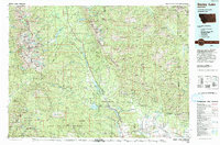 1993 Seeley Lake1993 Print · USGSThe Seeley Lake region in the early nineties is shown here as a landscape defined by its great wilderness boundaries and glacial waters. Researchers can trace the layout of Seeley Lake, the remote Danaher Guard Station, and historic routes like Montana 200 near Ovando.
 - 1994 Map of Gray Wolf Lake, 1996 Print
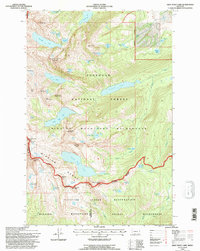 1994 Gray Wolf Lake1996 Print · USGSThe Mission Mountains high country is captured here in the mid-nineties, showing the intersection of tribal reservation lands and protected wilderness. Outdoorsmen and geographers can trace the limits of the Gray Wolf Glacier and remote features like Angels Bathing Pool and High Park Lake.2 unique versions available
 - 1994 Map of Piper-Crow Pass, 1996 Print
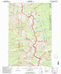 1994 Piper-Crow Pass1996 Print · USGSThe Mission Mountains stand as a towering divide in the 1990s where tribal lands meet the national forest. Hikers and historians can trace high-country routes like the North Crow Creek Trail through Crow Canyon and locate alpine landmarks such as Goat Peak.
 - 1994 Map of Hemlock Lake, 1996 Print
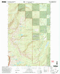 1994 Hemlock Lake1996 Print · USGSThe Mission Range in the mid-nineties is shown here in high relief, preserving a wilderness landscape of alpine lakes and glacial drainages. You can trace the remote headwaters of Elk Creek and locate landmarks like Hemlock Lake, Red Butte, and Cheff Lake.2 unique versions available
 - 1994 Map of St Marys Lake, 1996 Print
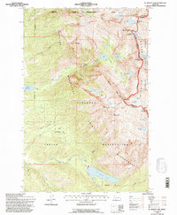 1994 St Marys Lake1996 Print · USGSThe Mission Mountains and the Flathead Indian Reservation meet in this mid-nineties survey of glacial peaks and high-country basins. Trace the rugged terrain of The Garden Wall and follow the Power Canal as it skirts St Marys Lake.
 - 1994 Map of Peck Lake, 1996 Print
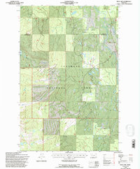 1994 Peck Lake1996 Print · USGSThe Swan River valley and the heights of the Mission Range are captured here in the mid-1990s as they span the Lake and Missoula county line. Researchers can trace the rugged drainages of Cold Creek and Jim Creek or locate landmarks like Peck Lake.
 - 1994 Map of Condon, 1996 Print
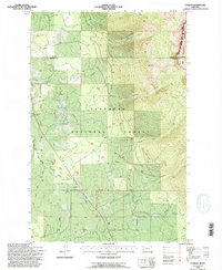 1994 Condon1996 Print · USGSIn the mid-1990s, the mountain valley around Condon remained a critical outpost for forestry and wilderness management. Researchers can locate specific infrastructure like the Condon PO, the Condon Forest Service Station, and the Cooney Lookout.
 - 1994 Map of Cygnet Lake, 1996 Print
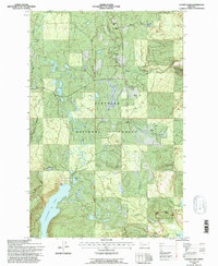 1994 Cygnet Lake1996 Print · USGSWestern Montana's glacial valleys and timberlands are captured here in the mid-1990s. Genealogists and local historians can locate long-standing family landmarks like Huffman Ranch and Gordon Ranch or the Swan Valley Sch.
 - 1994 Map of Mount Harding, 1996 Print
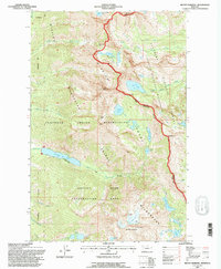 1994 Mount Harding1996 Print · USGSThe Mission Mountains and the Flathead Indian Reservation meet in this mid-nineties survey of Montana's high country. Trace tribal land management and wilderness boundaries near Mc Donald Peak, McDonald Lake, and Mollman Pass.
 - 1994 Map of Holland Peak, 1996 Print
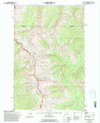 1994 Holland Peak1996 Print · USGSThe Swan Range and the Bob Marshall Wilderness dominate this Montana landscape in the mid-1990s. Hikers and historians can trace the high-elevation routes through Smith Creek Pass and locate remote landmarks like Holland Peak, Big Salmon Falls, and the Terrace Lakes.
 - 1994 Map of Big Salmon Lake West, 1997 Print
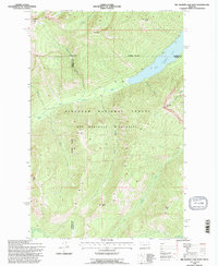 1994 Big Salmon Lake West1997 Print · USGSBig Salmon Lake and the surrounding wilderness are documented here in the mid-1990s as they transitioned into modern forest management. Researchers can locate remote backcountry landmarks like Pendant Cabin, Patrol Point, and the waters of Big Salmon Lake.
 - 1994 Map of Granite Pass, 1997 Print
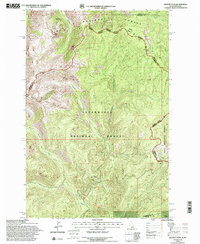 1994 Granite Pass1997 Print · USGSThe Bitterroot Range divide comes into sharp focus during the mid-1990s, tracing the remote border between Idaho and Montana. Researchers can follow the winding State Line Trail across high summits like Granite Peak and through Granite Pass.
 - 1996 Map of Medicine Tree Hill, 1998 Print
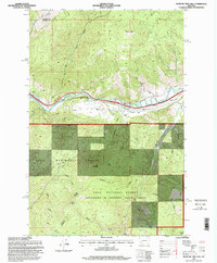 1996 Medicine Tree Hill1998 Print · USGSThe Clark Fork river corridor in the mid-1990s reveals a landscape of high mountain ridges and essential valley transit points. Genealogists and historians can trace family-named landmarks like Harvey Ridge and remote settlements such as Nimrod and Bearmouth.
 - 1998 Map of Florence, 2002 Print
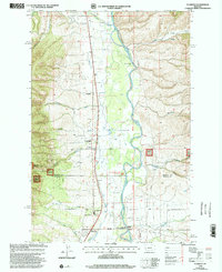 1998 Florence2002 Print · USGSThe Bitterroot River valley in the late nineties was a landscape of small communities and rugged national forest. Genealogists and local historians can trace the foundations of Florence and Carlton, locating the Florence-Carlton Sch and St Josephs Sem.
 - 1998 Map of Carlton Lake, 2002 Print
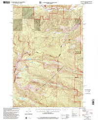 1998 Carlton Lake2002 Print · USGSThe high Bitterroot Mountains near the Missoula and Ravalli county line are captured here in the late nineties. Local researchers and hikers can trace alpine water bodies like Carlton Lake and North One Horse Lake or find the Fort Fizzle Picnic Area near Lolo Creek.
 - 1999 Map of Belmont Point, 2000 Print
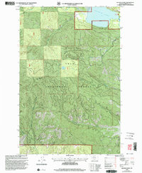 1999 Belmont Point2000 Print · USGSMissoula County forest lands are captured here at the close of the twentieth century, highlighting the remote drainages of the Lolo National Forest. Researchers can trace the steep elevations of Belmont Point and the shoreline of Placid Lake.
 - 1999 Map of Idaho Gulch, 2003 Print
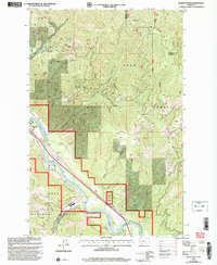 1999 Idaho Gulch2003 Print · USGSThe Clark Fork valley and the rugged Ninemile Divide define this part of Mineral County at the close of the twentieth century. Researchers can trace the boundaries of Lolo National Forest, locate the County Airport, and identify the settlement of Oliverville.
 - 1999 Map of Iris Point, 2003 Print
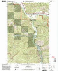 1999 Iris Point2003 Print · USGSNear the turn of the millennium, this Montana landscape highlights the confluence of the CLARK FORK and Rock Creek at the county line. Researchers can trace land use through the Bonita FS Workcenter, the Elliott Airstrip, and the Phelan Ranch.
 - 1999 Map of Dick Creek, 2003 Print
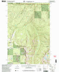 1999 Dick Creek2003 Print · USGSThe Bitterroot Mountains at the Idaho-Montana border are shown here as they were mapped in the late nineties. Modern explorers and researchers can trace the high-country drainage of Lolo Creek and locate historical landmarks like the Ward Lode Mine and Pyramid Buttes.
 - 1999 Map of Upper Jocko Lake, 2003 Print
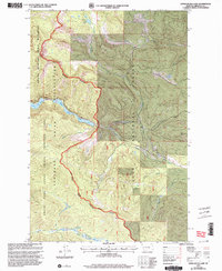 1999 Upper Jocko Lake2003 Print · USGSMissoula County highlands are captured here at the close of the twentieth century, where tribal lands meet federal wilderness. Researchers can trace remote water sources like Blue Jay Spring, the descent of the North Fork Jocko River, and the Flathead Indian Reservation boundary.
 - 1999 Map of Alberton, 2003 Print
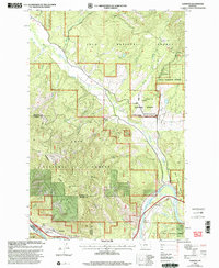 1999 Alberton2003 Print · USGSThe Mineral County mountainside meets the Clark Fork valley at the close of the twentieth century. Researchers can trace the legacy of forest management and early transport through the Ninemile Remount Depot, the CCC Campsite, and the winding Discovery Trail.
 - 1999 Map of Greenough, 2003 Print
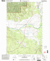 1999 Greenough2003 Print · USGSMissoula County is captured here in the late nineties at the junction of forestry research and river-bottom prairie life. Researchers can locate the Greenough Post Office, the Sunset School, and the operational heart of the Lubrecht Experimental Forest.
 - 1999 Map of Southeast Missoula, 2003 Print
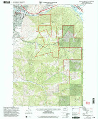 1999 Southeast Missoula2003 Print · USGSThe eastern edge of Missoula and the lower Clark Fork valley are captured here at the turn of the millennium. Researchers can trace the university campus, locate Milltown Dam, and find early local landmarks like Prescott Sch and Mount Sentinel.
 - 1999 Map of Northwest Missoula, 2003 Print
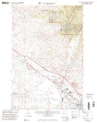 1999 Northwest Missoula2003 Print · USGSMissoula and its northwestern outskirts are captured in the 1990s as the city's industrial and residential zones pushed toward the Lolo National Forest. Researchers can trace old irrigation routes like Flynn Ditch or locate family histories at Missoula Cem and St Mary Cem.
 - 1999 Map of Woodworth, 2003 Print
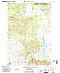 1999 Woodworth2003 Print · USGSThe Blackfoot River valley near the turn of the millennium shows a landscape dedicated to wildlife management and ranching. Researchers can locate the Old Boyd Ranch, the Park Sch, and early settlements like Woodworth and Bandy.
Showing maps 1-25 of 67
Top cities of Missoula County
Frequently asked questions
- What are the different types of historical maps available for Missoula County?
- What is the oldest map of Missoula County?
- Where can I purchase historical maps of Missoula County for my home or office?
- Where can I download high-res historical maps of Missoula County?
- Are there historical topographic maps available for Missoula County?
- Is there historical aerial imagery available for Missoula County?
- Where are historical maps of Missoula County sourced from?