2020s Maps of Missoula County, Montana
Explore 152 historic maps of Missoula County from the 2020s. These maps offer a rare glimpse into what life looked like during the 2020s — showing old roads, neighborhoods, homes, and landmarks that have changed or disappeared over time.
Whether you're researching your family's past, planning a metal detecting trip, or studying how Missoula County's landscape evolved across the 2020s, these high-resolution maps are a powerful tool for exploring the history of this region.
- Focus on a specific era: All maps on this page are from the 2020s, giving you a focused view of this time period.
- See what’s changed: Compare century-old streets, trails, and buildings to today's modern landscape using overlays and satellite layers.
- Research with precision: Use these maps for genealogy, historical research, land use analysis, or educational projects.
- View, download, or print: Maps are fully viewable online in high resolution, and can be downloaded or printed for your own records.
Start exploring Missoula County's history through authentic maps from the 2020s. This is your window into the past.
Missoula County, MT maps
(152)- 2020 Map of Granite Pass, 2020 Print
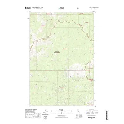 2020 Granite Pass2020 Print · USGSThe Bitterroot Divide defines this recent survey of the mountain borderlands where Montana and Idaho meet at the high crests. Local researchers can trace the ridgeline boundary from Granite Pass past high points like Granite Peak and Pilot Knob.
 - 2020 Map of Northwest Missoula, 2020 Print
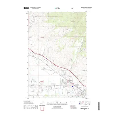 2020 Northwest Missoula2020 Print · USGSMissoula and its northwestern outskirts are documented here in recent years as urban expansion meets the mountain front. Local historians can trace the paths of historic irrigation channels like Flynn Lowney Ditch and find the location of the Missoula Cem.
 - 2020 Map of Lolo Hot Springs, 2020 Print
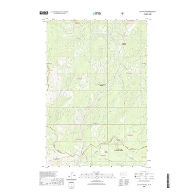 2020 Lolo Hot Springs2020 Print · USGSThe Bitterroot Range crossing at the Montana-Idaho border is captured here in the modern era. Trace the historic paths through Lolo Pass and Packer Meadows, or locate the specific topography around Lolo Hot Springs and Wagon Mountain.
 - 2020 Map of Primrose, 2020 Print
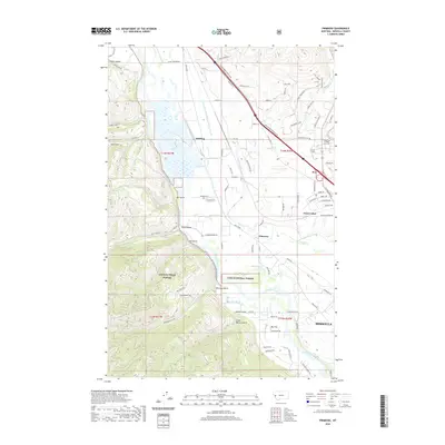 2020 Primrose2020 Print · USGSThe Missoula valley comes into focus in this recent survey, showing the complex network of irrigation ditches and river crossings that sustain the region. Researchers can trace the layout of small settlements like Schilling, Primrose, and Wye alongside the borders of the Lolo National Forest.
 - 2020 Map of Carlton Lake, 2020 Print
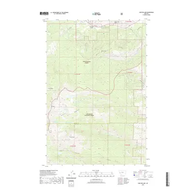 2020 Carlton Lake2020 Print · USGSMissoula and Ravalli Counties are shown at their high-altitude intersection during the early twenty-first century. Researchers can trace the network of alpine water bodies like Carlton Lake and Peterson Lake tucked beneath the summits of Lolo Peak and Sweeney Peak.
 - 2020 Map of Deer Peak, 2020 Print
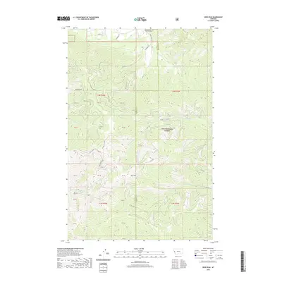 2020 Deer Peak2020 Print · USGSThe high timberlands along the Missoula and Mineral county line are meticulously detailed in this recent survey. Local researchers can trace the drainages of W Fork Petty Cr and Deer Cr or locate specific points along Ed's Ridge and Sawmill Gulch.
 - 2020 Map of Petty Mountain, 2020 Print
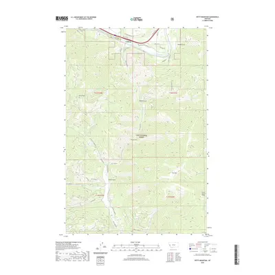 2020 Petty Mountain2020 Print · USGSMineral and Missoula counties meet in this mountainous 2020 landscape where the Clark Fork valley hosts the settlement of Lothrop. Researchers can trace the network of forest roads and trails connecting landmarks like Petty Mtn, Martin Point, and the Moulton Reservoir Number Two.
 - 2020 Map of Southwest Missoula, 2020 Print
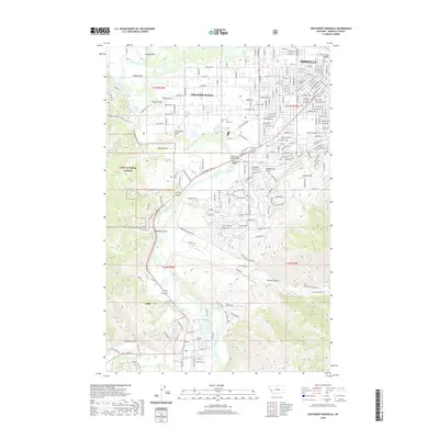 2020 Southwest Missoula2020 Print · USGSMissoula and its southern valleys are captured here in the contemporary era, showing the city's growth along the river forks. Genealogists and hikers can trace the geography of Orchard Homes, find the Post Cem, or scout the trails through Cahoot Canyon.
 - 2020 Map of West Fork Butte, 2020 Print
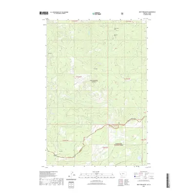 2020 West Fork Butte2020 Print · USGSThe high Bitterroot divide along the Montana-Idaho border appears here in the late twenty-teens, showing the intersection of two major national forests. Researchers can trace remote alpine features like Lost Park Meadows, Granite Lake, and the summit of Skookum Butte.
 - 2020 Map of Garden Point, 2020 Print
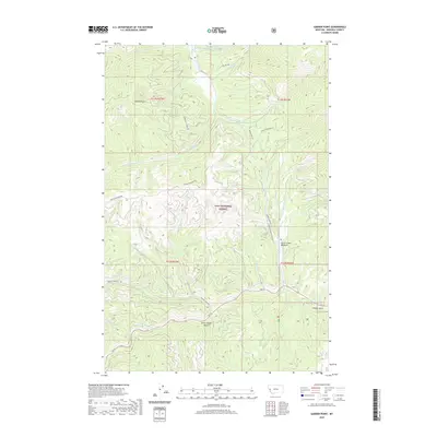 2020 Garden Point2020 Print · USGSMissoula County's high country is captured here during the 2020s, showing a landscape defined by forest management and mountain drainages. Researchers can trace the routes through Chief Joseph Gulch and locate landmarks like Garden Point and Grave Creek Meadow.
 - 2020 Map of Dick Creek, 2020 Print
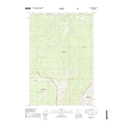 2020 Dick Creek2020 Print · USGSThe Montana-Idaho border country comes into focus in 2020, where three national forests meet along the Bitterroot Range. Researchers can trace the high-country hydrology of Duffy Lake and Holloway Lake or locate the settlement at Elk Meadows.
 - 2020 Map of Lupine Creek, 2020 Print
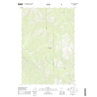 2020 Lupine Creek2020 Print · USGSThis part of the Bitterroot Mountains near the Mineral and Missoula county line shows a high-elevation wilderness as it appeared in recent years. Researchers can trace remote forest routes like Wagon Mountain Rd or locate landmarks such as Howard Creek Meadows and Spring Gulch.
 - 2020 Map of Diamond Point, 2020 Print
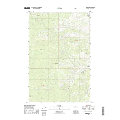 2020 Diamond Point2020 Print · USGSMissoula County's protected forest lands are shown here as they appeared in 2020. Researchers can trace forest access routes and topographic landmarks such as Albert Point, French Gulch, and the remote Grave Creek Range.
 - 2020 Map of Greenough, 2020 Print
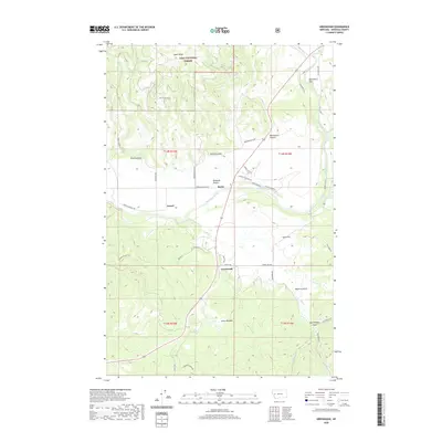 2020 Greenough2020 Print · USGSMissoula County ranchlands and river valleys are captured here in the modern era, showing the intersection of private prairie and public timber. Researchers can trace local landmarks like Barite, Greenough, and the expansive grazing lands of Ninemile Prairie.
 - 2020 Map of Elevation Mountain, 2020 Print
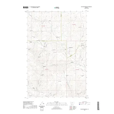 2020 Elevation Mountain2020 Print · USGSGarnet and the surrounding high-country mining camps are documented here as they appeared in 2020. Local historians and researchers can trace the old gulch-and-ridge routes connecting Beartown, Reynolds City, and Top O'Deep along the Garnet Range Rd.
 - 2020 Map of Clinton, 2020 Print
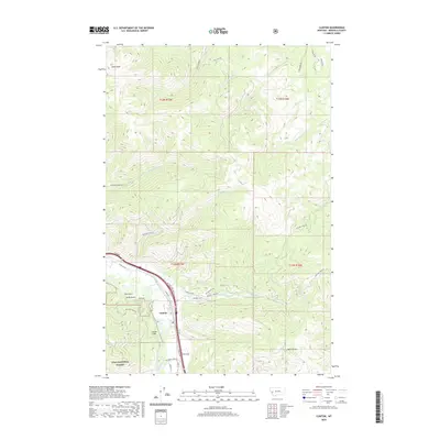 2020 Clinton2020 Print · USGSThe community of Clinton sits at a critical mountain junction along the Clark Fork as it appeared in 2020. Local researchers can trace modern forest boundaries and historic access routes near Olson Peak, the Quarrie, and family-named landmarks like Leeper Gulch.
 - 2020 Map of Elk Mountain, 2020 Print
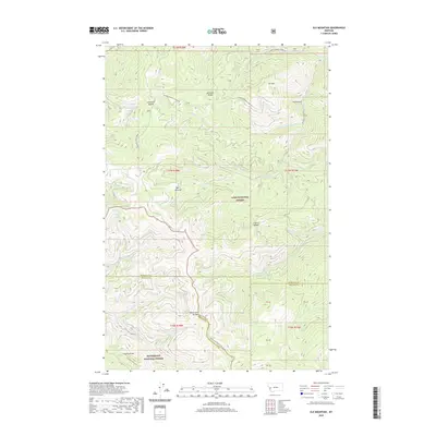 2020 Elk Mountain2020 Print · USGSThe high Montana ridges where three counties meet are documented in this contemporary topographic survey. Researchers can trace the remote Two Y Junction and find named high-country features like Last Drink Springs and Cleveland Mountain.
 - 2020 Map of Bata Mountain, 2020 Print
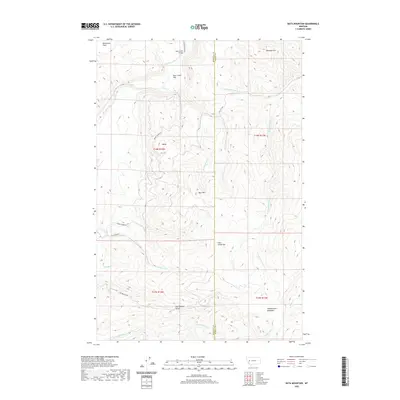 2020 Bata Mountain2020 Print · USGSMissoula and Powell counties meet along these high ridges and river flats in the early 2020s. Researchers can trace forest access routes like Sperry Grade Rd and locate remote landmarks such as Chamberlain Meadows, Bata Mtn, and the Bear Creek Bridge.
 - 2020 Map of Southeast Missoula, 2020 Print
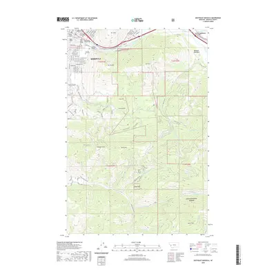 2020 Southeast Missoula2020 Print · USGSMissoula and its surrounding peaks are captured here in the early twenty-first century as the city meets the wilderness of the Lolo National Forest. Trace the grounds of the University of Montana or locate local landmarks like the Higgins Bridge and Waterworks Hill.
 - 2020 Map of Mineral Ridge, 2020 Print
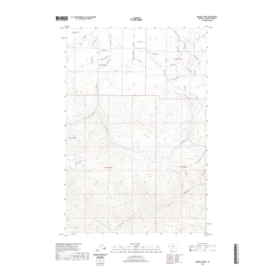 2020 Mineral Ridge2020 Print · USGSMissoula County at the start of the 2020s shows a landscape of steep timbered ridges and mountain creek headwaters. Local historians and explorers can trace the access routes into the high country via Mineral Ridge, Union Cr, and the appropriately named Hidden Treasure Ct.
 - 2020 Map of Union Peak, 2020 Print
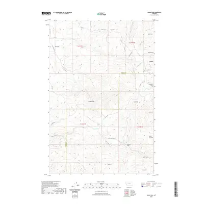 2020 Union Peak2020 Print · USGSThe Garnet Range highlands at the Missoula and Granite county line come into sharp focus in this recent survey. Researchers can trace the layout of Coloma near its cemetery, locate Copper Cliff, and follow the winding Hole-In-The-Wall Rd.
 - 2020 Map of Blue Point, 2020 Print
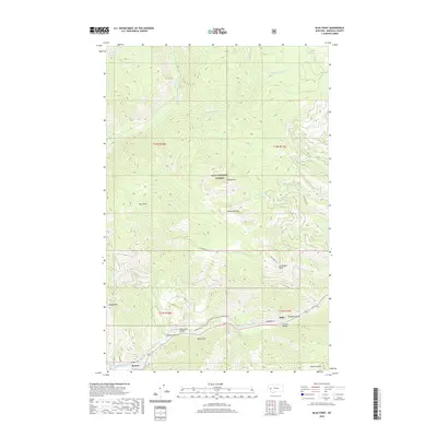 2020 Blue Point2020 Print · USGSMissoula County's high country is captured in the modern era as timber roads and mountain trails crisscross the Lolo National Forest. Researchers can trace river crossings at Marco Flat Bridge and follow the routes through Miller and Bonner along the riverbanks.
 - 2020 Map of Bonner, 2020 Print
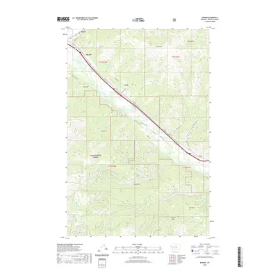 2020 Bonner2020 Print · USGSMissoula County is centered on the Clark Fork valley in this recent 2020s survey. Genealogists and local historians can trace the road networks and mountain drainages connecting Bonner, Piltzville, and Turah near the edge of the Lolo National Forest.
 - 2020 Map of Northeast Missoula, 2020 Print
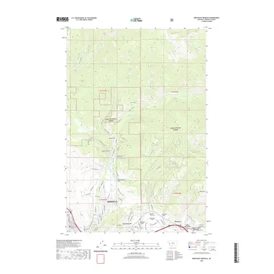 2020 Northeast Missoula2020 Print · USGSMissoula and the Clark Fork valley are captured here at the start of the 2020s, showcasing the area's development along the mountain front. Genealogists and hikers can trace landmarks like Saint Mary Cem, Bandmann Bridge, and the Wallman Trail.
 - 2020 Map of Ravenna, 2020 Print
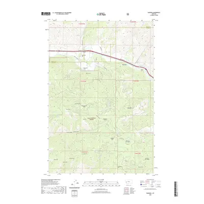 2020 Ravenna2020 Print · USGSThe Clark Fork valley near the Missoula and Granite County border was a critical mountain passage for rail and road in the early twenty-first century. Researchers can trace the path of the Nimrod Tunnels and locate landmarks like Ravenna, Burnt Mtn, and Mormon Spring.
Showing maps 1-25 of 152
Top cities of Missoula County
Frequently asked questions
- What are the different types of historical maps available for Missoula County?
- What is the oldest map of Missoula County?
- Where can I purchase historical maps of Missoula County for my home or office?
- Where can I download high-res historical maps of Missoula County?
- Are there historical topographic maps available for Missoula County?
- Is there historical aerial imagery available for Missoula County?
- Where are historical maps of Missoula County sourced from?