1980s Maps of Missoula County, Montana
Explore 36 historic maps of Missoula County from the 1980s. These maps offer a rare glimpse into what life looked like during the 1980s — showing old roads, neighborhoods, homes, and landmarks that have changed or disappeared over time.
Whether you're researching your family's past, planning a metal detecting trip, or studying how Missoula County's landscape evolved across the 1980s, these high-resolution maps are a powerful tool for exploring the history of this region.
- Focus on a specific era: All maps on this page are from the 1980s, giving you a focused view of this time period.
- See what’s changed: Compare century-old streets, trails, and buildings to today's modern landscape using overlays and satellite layers.
- Research with precision: Use these maps for genealogy, historical research, land use analysis, or educational projects.
- View, download, or print: Maps are fully viewable online in high resolution, and can be downloaded or printed for your own records.
Start exploring Missoula County's history through authentic maps from the 1980s. This is your window into the past.
Missoula County, MT maps
(36)- 1981 Map of Missoula West
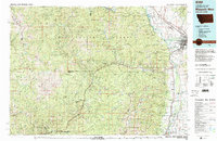 1981 Missoula West1981 Print · USGSThe Bitterroot Valley and the rugged Bitterroot Range are captured here in the early 1980s, documenting the expansion of Missoula and its outlying timber and river towns. Researchers can trace the Burlington Northern rail corridors or locate remote landmarks like Lolo Hot Springs and Lolo Pass.2 unique versions available
 - 1983 Map of Horsehead Peak, 1984 Print
 1983 Horsehead Peak1984 Print · USGSThe high ridges of the Bitterroot range come into focus during the early 1980s as they straddle the Missoula and Mineral county lines. Genealogists and historians can trace the rugged drainages around Ninemile and Sparks, or locate landmarks like Horsehead Peak and Lookout Mountain.
 - 1983 Map of Tarkio, 1984 Print
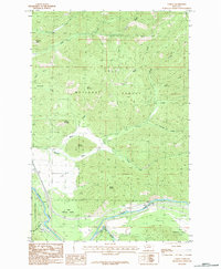 1983 Tarkio1984 Print · USGSThe Clark Fork valley in the early 1980s reveals a landscape where steep forest ridges meet the critical transport corridor of western Montana. Genealogists and historians can trace the small river settlements at Tarkio and Rivulet, or locate the isolated Cem near Nemote Creek.
 - 1983 Map of Stark South, 1984 Print
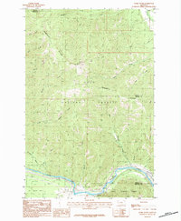 1983 Stark South1984 Print · USGSThe Lolo National Forest interior is documented in the early 1980s, centered on the high ridge of the Ninemile Divide. Researchers can locate the Lookout Tower on Stark Mountain and trace old routes through Freezeout Gulch to the settlement of Cyr.2 unique versions available
 - 1984 Map of Arlee
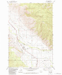 1984 Arlee1984 Print · USGSThe Flathead Indian Reservation in the early eighties centers on the Jocko Valley and the growing community of Arlee. Researchers can trace the path of the Burlington Northern railroad alongside the Rodeo Ground, the local High Sch, and the regional Fish Hatchery.2 unique versions available
 - 1984 Map of Evaro
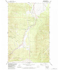 1984 Evaro1984 Print · USGSEvaro and its mountain surroundings are captured in the mid-1980s as a high-altitude railroad and recreation corridor. Researchers can trace the Burlington Northern rail line, the historic Mc Clure Flume, and landmarks like TV Mountain or Schley.
 - 1984 Map of Stark North
 1984 Stark North1984 Print · USGSThe northern reaches of Missoula County in the early eighties show a landscape where the Lolo National Forest meets the Flathead Indian Reservation. Researchers can trace the settlement at Stark and follow high-country routes like the Pack Trail near Lost Lake.
 - 1984 Map of Huson
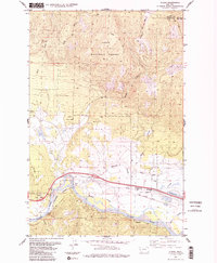 1984 Huson1984 Print · USGSHuson and the surrounding river valley are captured in the early 1980s as a hub for mountain transit and irrigation. Researchers can trace the historic Mullan Road, the winding Clark Fork, and localized landmarks like Frenchtown Pond and Edith Peak.2 unique versions available
 - 1984 Map of Missoula East
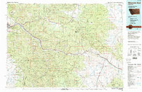 1984 Missoula East1984 Print · USGSThe Clark Fork valley and the Garnet Range are shown here in the mid-1980s as the region's timber and rail heritage remained prominent. Researchers can trace the Burlington Northern line and locate old mining sites like Garnet and the Copper Cliff Mine.
 - 1984 Map of Frenchtown
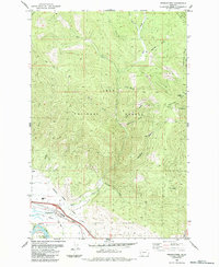 1984 Frenchtown1984 Print · USGSFrenchtown and the Clark Fork valley are seen here in the mid-1980s as the community expanded near the national forest boundary. Researchers can trace the Northern Pacific Railroad Grade and irrigation works like the Frenchtown Irrigation District Ditch.
 - 1984 Map of Mc Cormick Peak
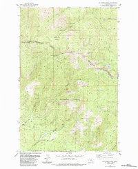 1984 Mc Cormick Peak1984 Print · USGSThe high peaks of the Bitterroot Range come into focus in the mid-1980s, documenting the border between tribal lands and national forest. Trace early industrial footprints at the Favorite Mine or follow the historic Pack Trail through Blacktail Basin.
 - 1984 Map of Alberton
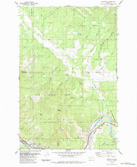 1984 Alberton1984 Print · USGSSettled along the Clark Fork river in the 1980s, the Alberton area shows a landscape of timber management and rail infrastructure. Researchers can trace the Old Railroad Grade, locate the Ninemile Ranger Sta, or find the secluded Kreis Lake.
 - 1984 Map of Saddle Mountain
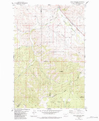 1984 Saddle Mountain1984 Print · USGSThe Flathead Indian Reservation meets the Lolo National Forest in the mid-1980s, revealing a landscape shaped by mountain waters and rail history. Trace the path of the Old Railroad Grade near the Jocko River or locate the Mine tucked into the slopes of Saddle Mountain.
 - 1984 Map of Knowles
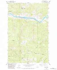 1984 Knowles1984 Print · USGSWestern Montana in the mid-eighties was defined by the intersection of tribal lands and timber reserves along the Flathead River. Researchers can trace the Burlington Northern rail line through Knowles or locate family markers at Gingery Cem.
 - 1984 Map of Hewolf Mountain
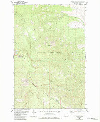 1984 Hewolf Mountain1984 Print · USGSThe high Montana backcountry of Sanders and Missoula Counties is captured here in the mid-1980s. Trace old wilderness access routes like the Pack Trail and Sixmile Trail (Pack) through the Lolo National Forest and Hewolf Mountain.
 - 1984 Map of Perma, 1985 Print
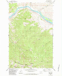 1984 Perma1985 Print · USGSIn the mid-eighties, this stretch of the Flathead River remained a critical junction for rail and mountain transit. Local history researchers can trace the Burlington Northern line through Perma, find the Ferry at Racehorse, and locate Teddy Tunnel.
 - 1985 Map of Quinns Hot Springs
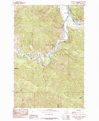 1985 Quinns Hot Springs1985 Print · USGSThe confluence of the Flathead River and Clark Fork dominates this 1980s mountain survey of northwestern Montana. Researchers can trace the layout of Quinns Hot Springs, local landmarks like Patricks Knob, and the remote Cascade Falls.
 - 1985 Map of Idaho Gulch
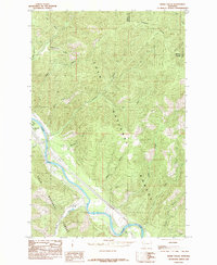 1985 Idaho Gulch1985 Print · USGSThe Clark Fork River corridor in the mid-1980s reveals a landscape of high timberland and river-bottom settlement. Trace the mountain topography from the Ninemile Divide down to Oliverville and the County Airport along the canyon floor.
 - 1987 Map of Hemlock Lake
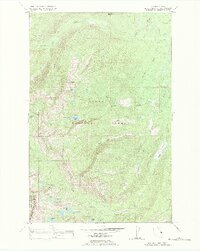 1987 Hemlock Lake1987 Print · USGSHigh in the Mission Mountains during the late eighties, this map shows a wilderness of alpine lakes and pack trails along the Lake and Missoula County line. Researchers can trace remote routes to Hemlock Lake, Cheff Lake, and the summit of Red Butte.
 - 1987 Map of Gray Wolf Lake
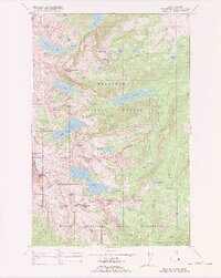 1987 Gray Wolf Lake1987 Print · USGSThe Mission Mountains in the late eighties are preserved here in detail, showcasing the high-altitude wilderness of the Flathead Indian Reservation. Researchers can trace alpine landmarks and remote waters like Gray Wolf Lake, The Angels Bathing Pool, and Crystal Lake.
 - 1988 Map of Huson
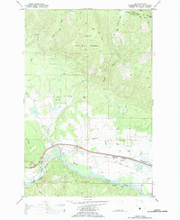 1988 Huson1988 Print · USGSIn the late eighties, the valley of the Clark Fork near Huson showcased a landscape of timber management and river-valley transport. Researchers can trace the path of the Burlington Northern and Mullan Road past sites like Frenchtown Pond and the Old Railroad Grade.
 - 1988 Map of Hewolf Mountain
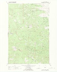 1988 Hewolf Mountain1988 Print · USGSThe high Montana divide between the Flathead Indian Reservation and Lolo National Forest is captured here in the late eighties. Researchers can trace remote backcountry access routes like Edith Peak Road and the Sixmile Trail near Hewolf Mountain.
 - 1988 Map of Gold Creek Peak
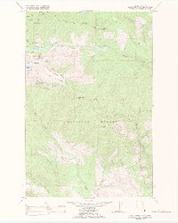 1988 Gold Creek Peak1988 Print · USGSThe mountains of Missoula County are documented here in the late eighties, showing the intersection of the Flathead Indian Reservation and federal land. Researchers can trace remote routes like Jeep Trails near Hidden Lake and Gold Creek Peak.
 - 1988 Map of Mount Harding
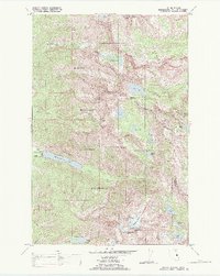 1988 Mount Harding1988 Print · USGSThe Mission Mountains on the Flathead Indian Reservation are shown here in the late eighties, a landscape of high summits and tribal lands. Researchers can trace traditional routes like the Mollman Pack Trail to remote landmarks including McDonald Glacier and Summit Lake.
 - 1988 Map of Swan Peak, 1989 Print
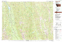 1988 Swan Peak1989 Print · USGSSettlement in the Swan River Valley and the Bob Marshall Wilderness are captured in this late 1980s survey. Researchers can locate remote backcountry sites like the Spotted Bear Airport, the village of Condon, and the Swan Lake shoreline.
Showing maps 1-25 of 36
Top cities of Missoula County
Frequently asked questions
- What are the different types of historical maps available for Missoula County?
- What is the oldest map of Missoula County?
- Where can I purchase historical maps of Missoula County for my home or office?
- Where can I download high-res historical maps of Missoula County?
- Are there historical topographic maps available for Missoula County?
- Is there historical aerial imagery available for Missoula County?
- Where are historical maps of Missoula County sourced from?