
1984 Map of Stark North
USGS Topo · Published 1984About this map
Flathead Indian Reservation and Lolo National Forest meet in this mountainous region northwest of Missoula, where deep drainage systems dictate the layout of the land. The small settlement of Stark sits at the base of the hills, marking the confluence of several significant waterways including Mc Cormick Creek and Ninemile Creek. The terrain is defined by a dense network of named drainages like Moncure Creek, Barrette Creek, and Josephine Creek, which flow through steep gulches toward the valley floor.
Find a feature on this map
26 named features on this map. Tap any name to fly to it.
Don’t see what you’re looking for? This feature index may not catch every label — zoom into the map to look around manually.
Map Details
Editions of this 1984 Stark North Map
This is the sole edition of this map. No revisions or reprints were ever made.
Other maps of this area

1956 · Wallace
USGS Topo · 1:250,000

1959 · Tarkio
USGS Topo · 1:62,500

1959 · Alberton
USGS Topo · 1:62,500

1959 · Perma
USGS Topo · 1:62,500

1960 · Wallace
USGS Topo · 1:250,000

1964 · Mc Donald
USGS Topo · 1:24,000

1983 · Horsehead Peak
USGS Topo · 1:24,000
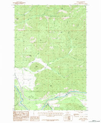
1983 · Tarkio
USGS Topo · 1:24,000
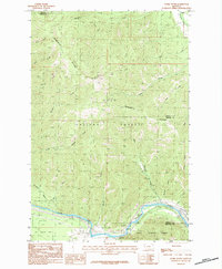
1983 · Stark South
USGS Topo · 1:24,000
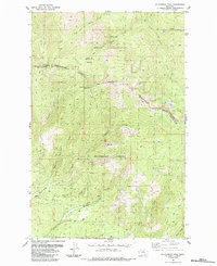
1984 · Mc Cormick Peak
USGS Topo · 1:24,000