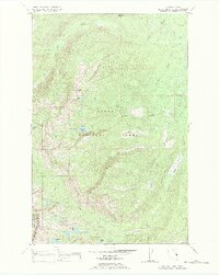
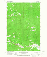
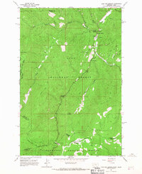
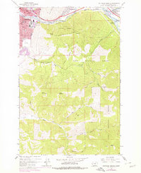
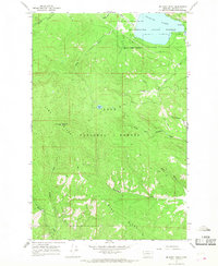
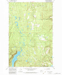
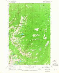
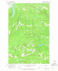
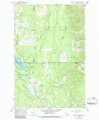
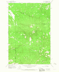
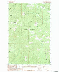
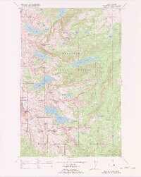
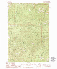
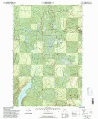
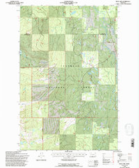
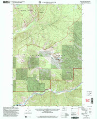
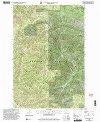
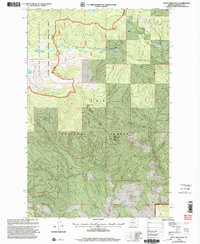
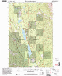
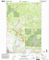
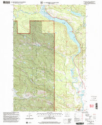
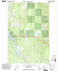
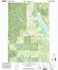
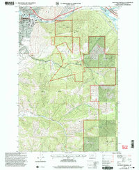
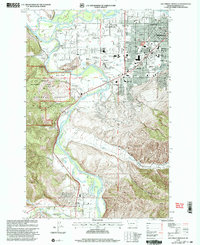
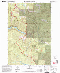
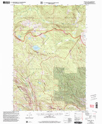
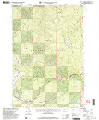
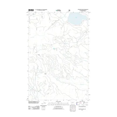
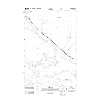
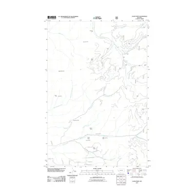
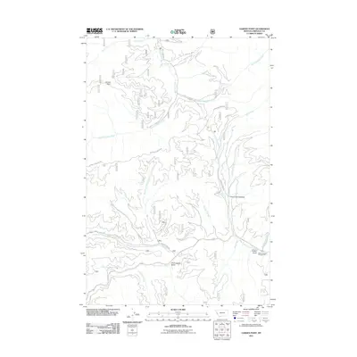
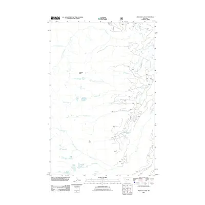
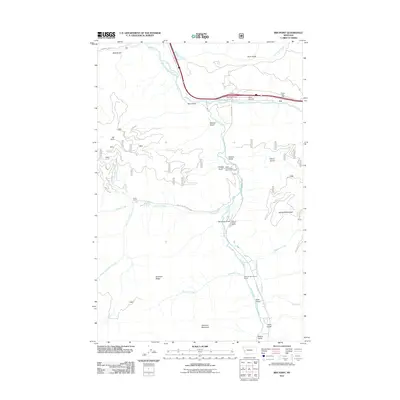
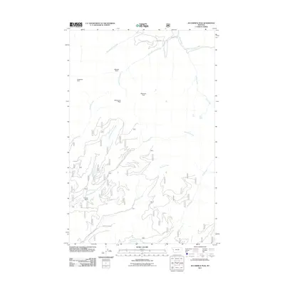
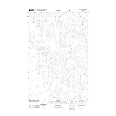
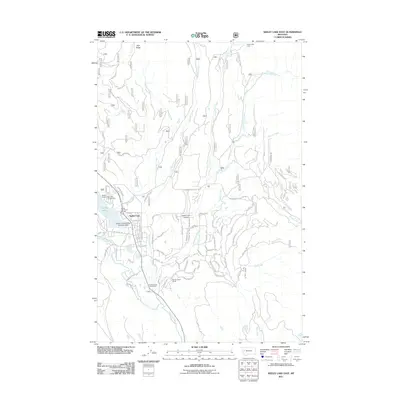
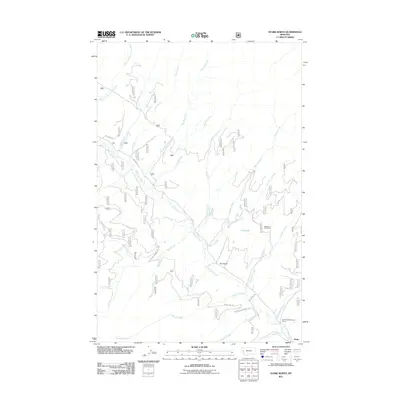
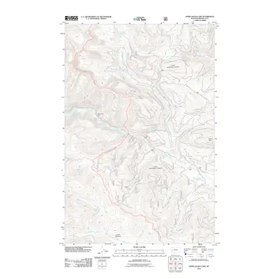
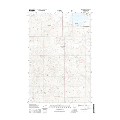
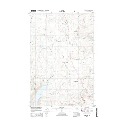
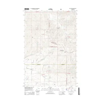
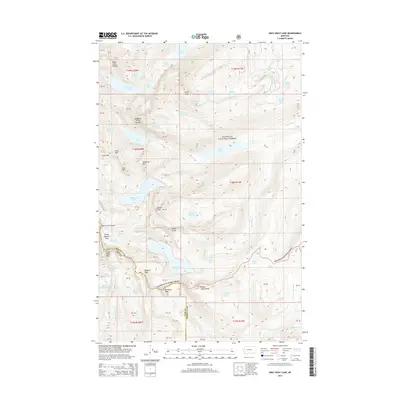
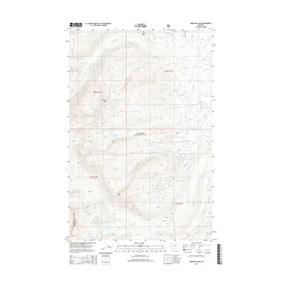
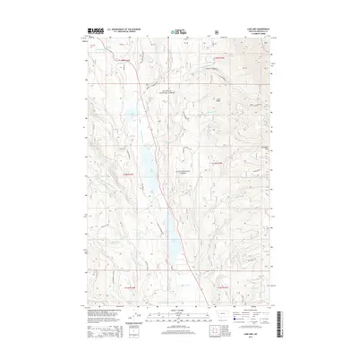
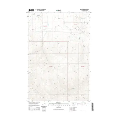
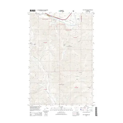
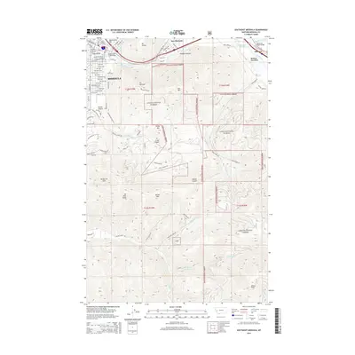
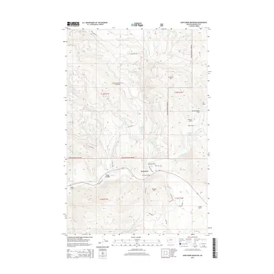
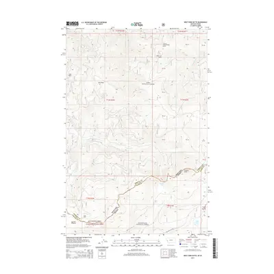
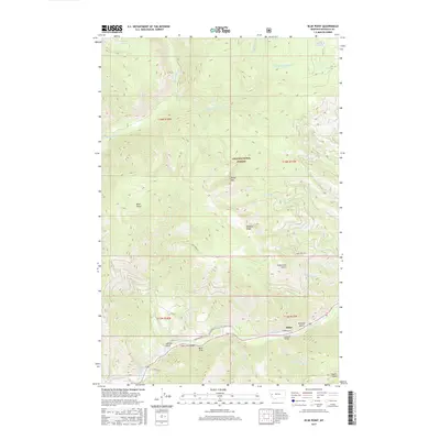
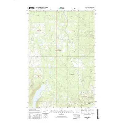
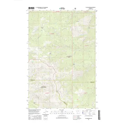
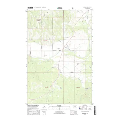
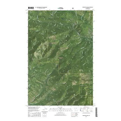
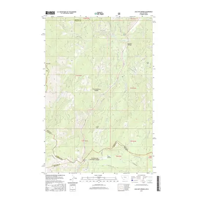
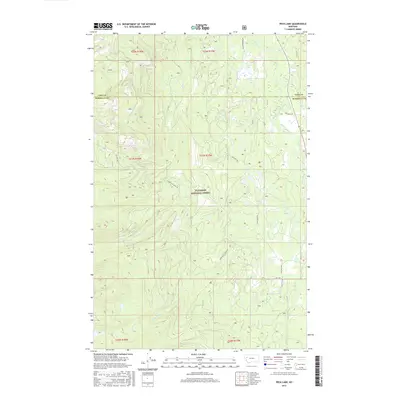
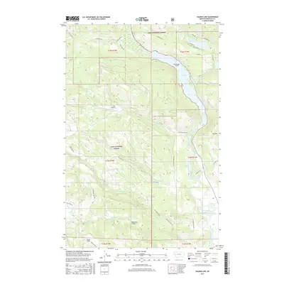
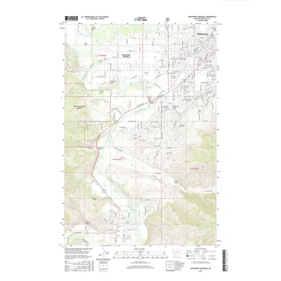
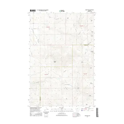
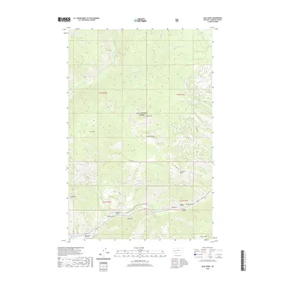
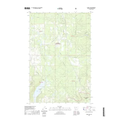
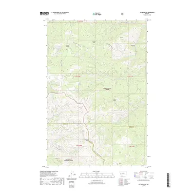
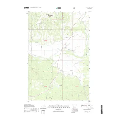
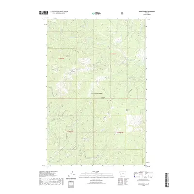
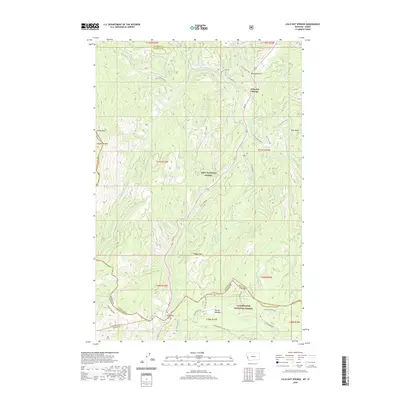
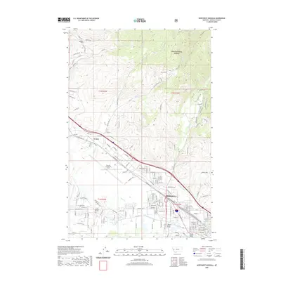
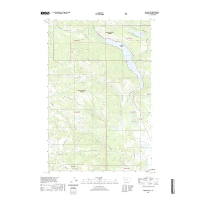
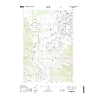
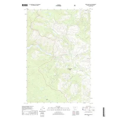
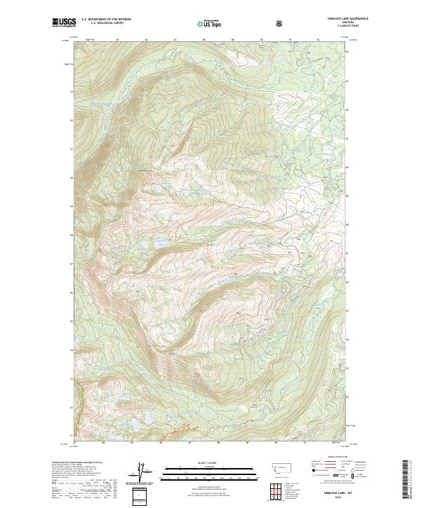
1987 Map of Hemlock Lake
USGS Topo · Published 1987About this map
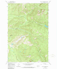
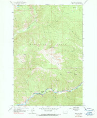
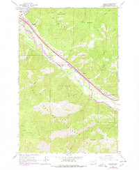
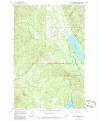
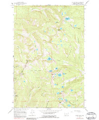
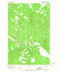
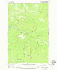
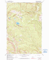
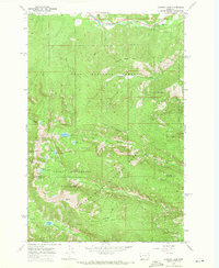
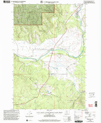
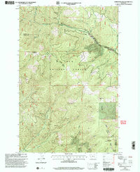
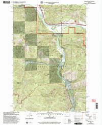
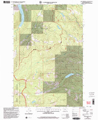
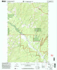
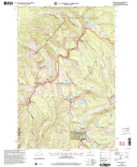
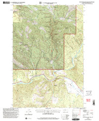
Flathead National Forest and the Flathead Indian Reservation Tribal Wilderness define this high-elevation landscape along the border of Lake and Missoula counties. The terrain is characterized by a dense network of glacial basins and alpine lakes, including Hemlock Lake, Conko Lake, and North Hemlock Lake. Higher elevations are marked by prominent landforms such as Hemlock Point and Red Butte, which overlook the headwaters of numerous drainages like Elk Creek and Kraft Creek.
Find a feature on this map
30 named features on this map. Tap any name to fly to it.
Don’t see what you’re looking for? This feature index may not catch every label — zoom into the map to look around manually.
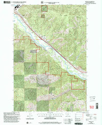
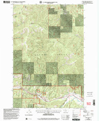
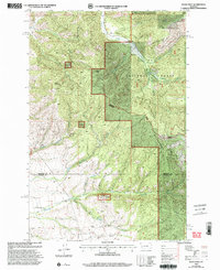
Map Details
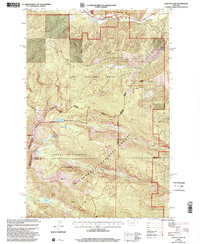
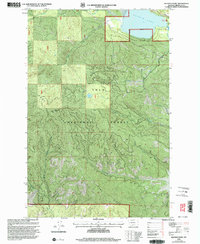
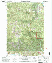
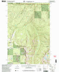
Editions of this 1987 Hemlock Lake Map
This is the sole edition of this map. No revisions or reprints were ever made.
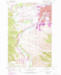
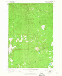
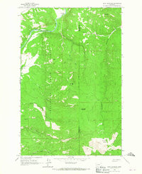
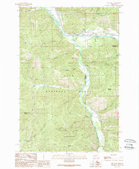
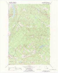
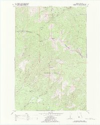
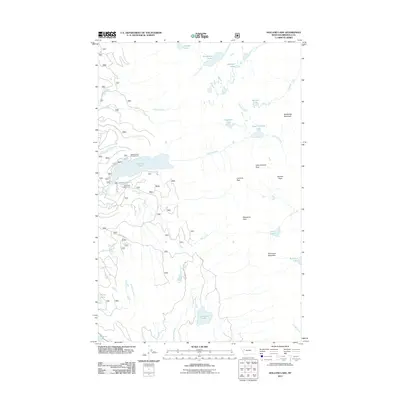
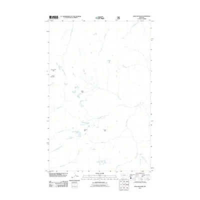
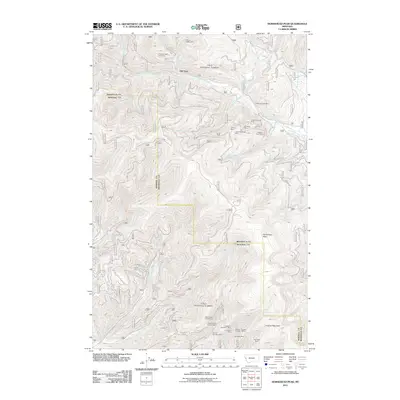
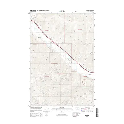
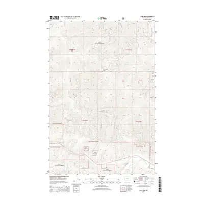
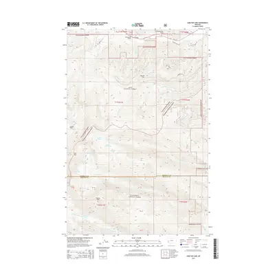
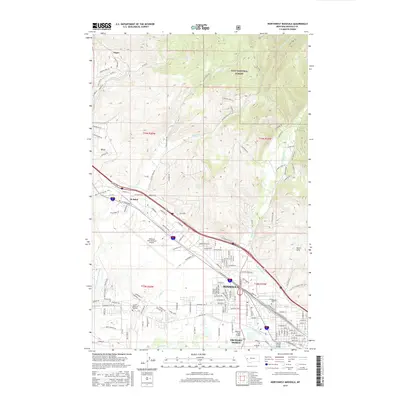
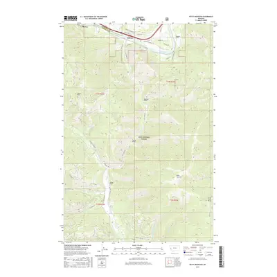
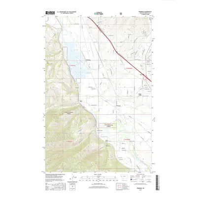
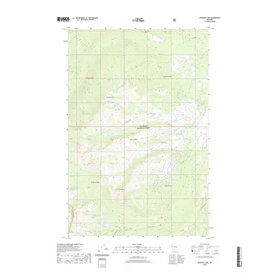
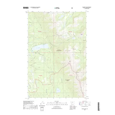
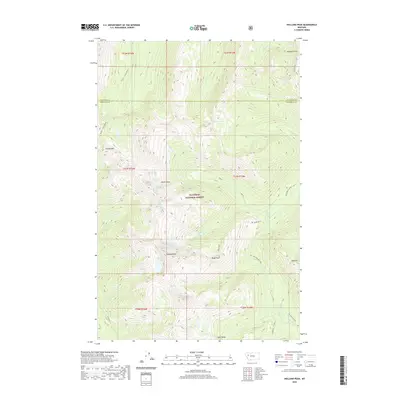
Historical Maps of Missoula County Through Time
313 maps found
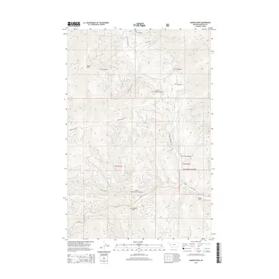
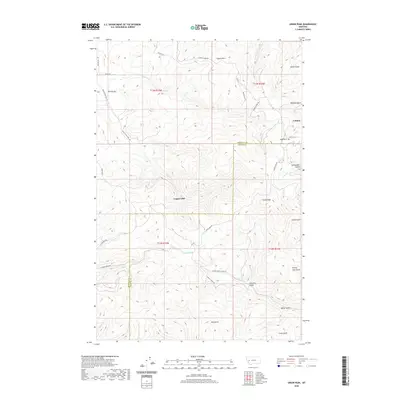
1903 Bonner
Missoula County, MT

1921 Elbow Lake
Missoula County, MT
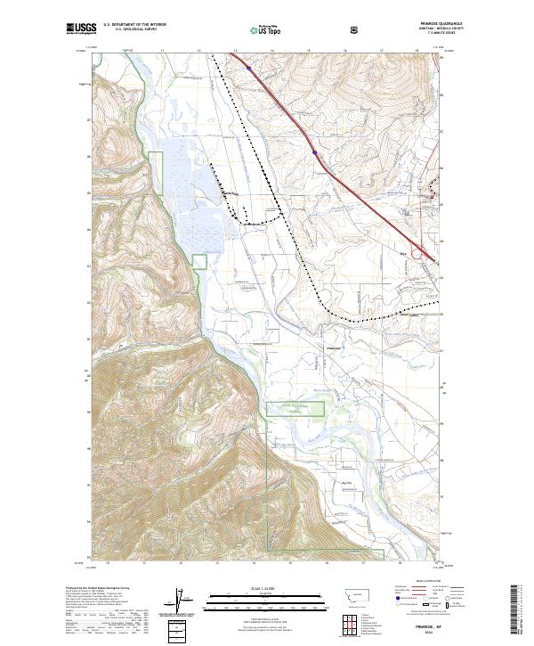
1963 Primrose
Missoula County, MT
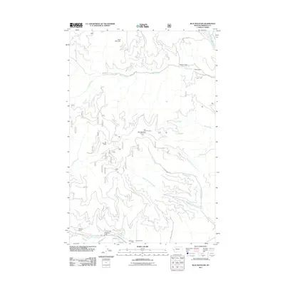
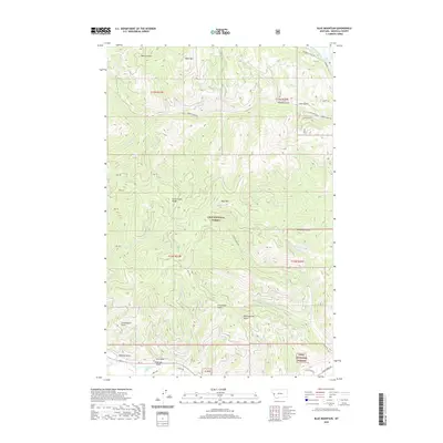
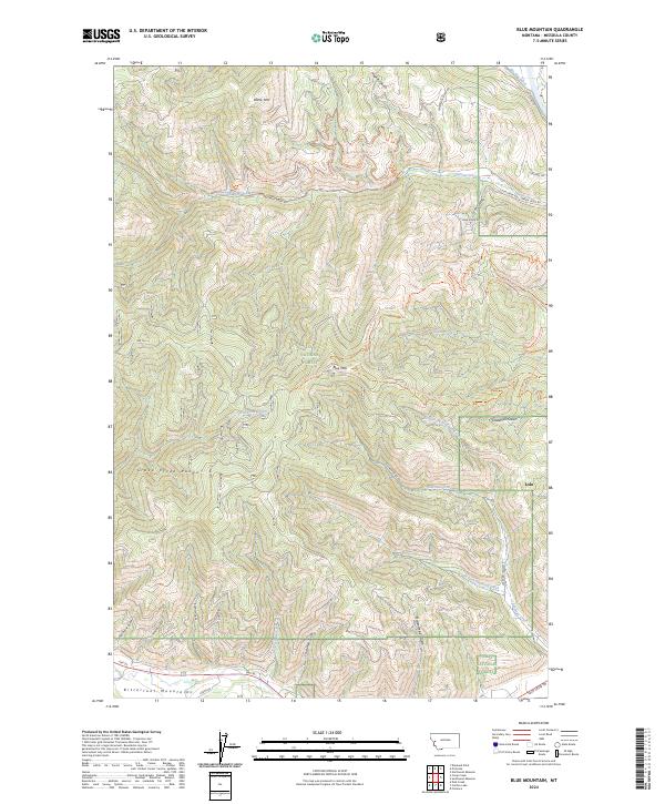
1964 Blue Mountain
Missoula County, MT
1964 Camp Creek
Missoula County, MT
1964 Diamond Point
Missoula County, MT
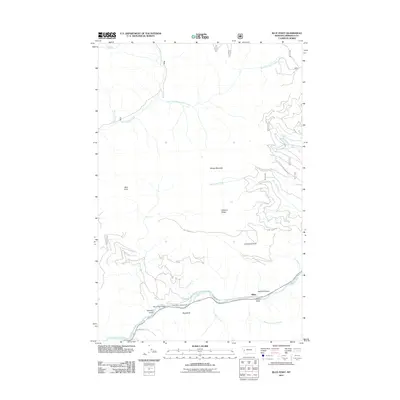
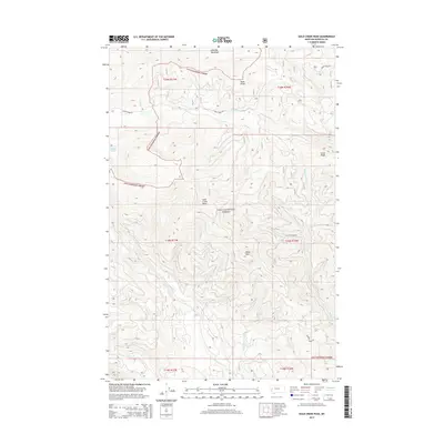
1964 Dick Creek
Missoula County, MT
1964 Garden Point
Missoula County, MT
1964 Lolo Hot Springs
Missoula County, MT
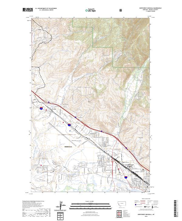
1964 Northeast Missoula
Missoula County, MT
1964 Northwest Missoula
Missoula County, MT
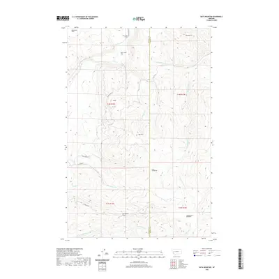
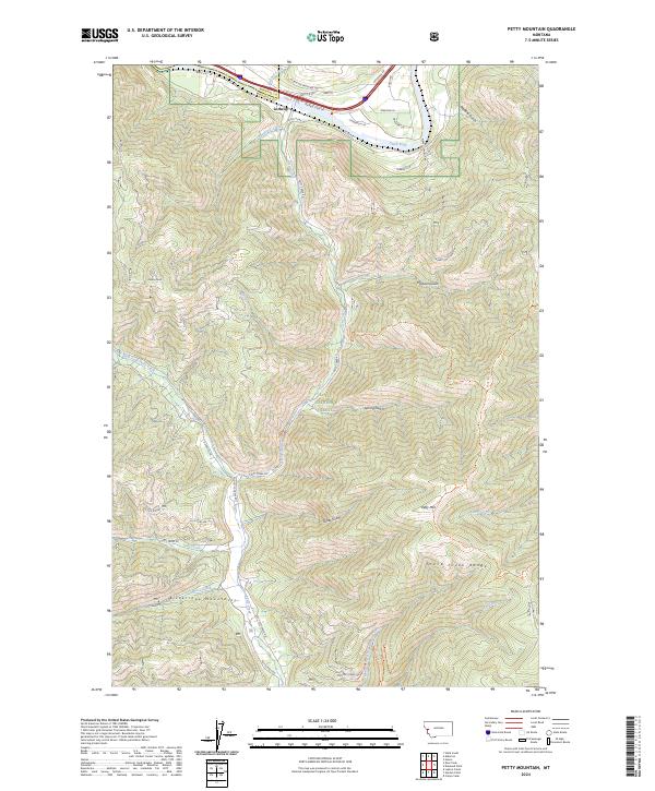
1964 Petty Mountain
Missoula County, MT
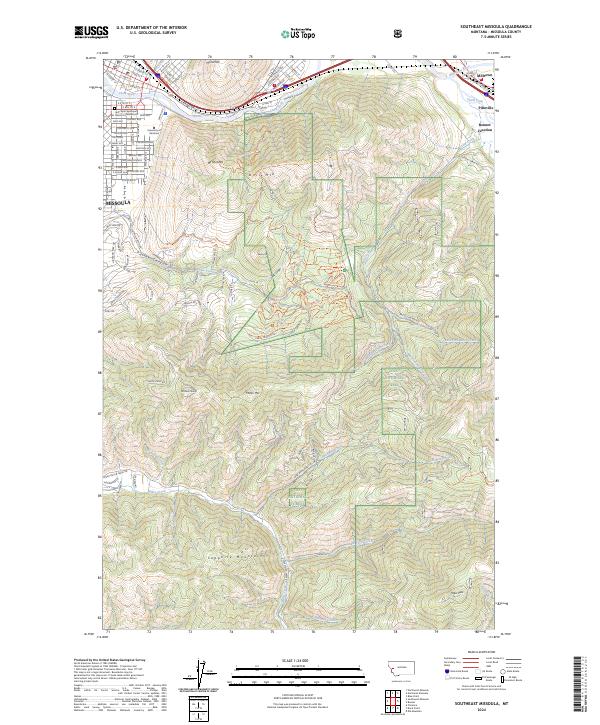
1964 Southeast Missoula
Missoula County, MT
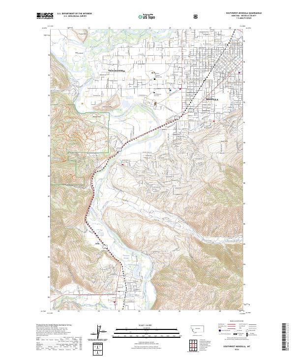
1964 Southwest Missoula
Missoula County, MT
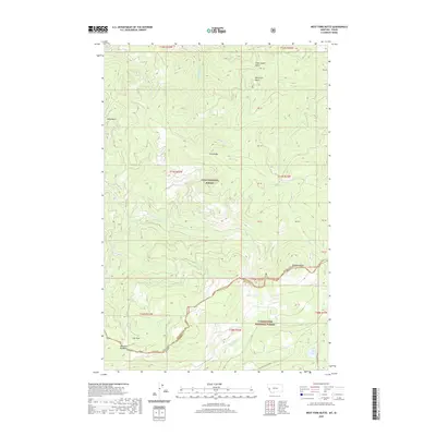
1964 West Fork Butte
Missoula County, MT
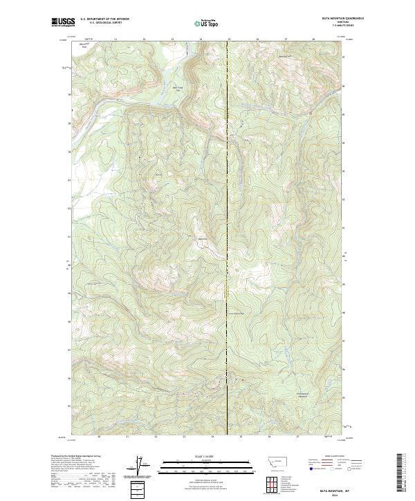
1965 Bata Mountain
Missoula County, MT
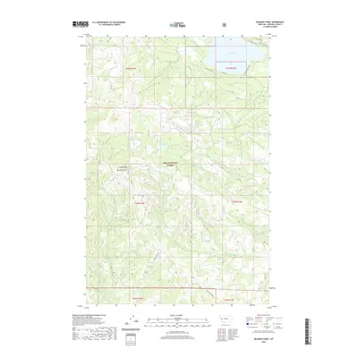
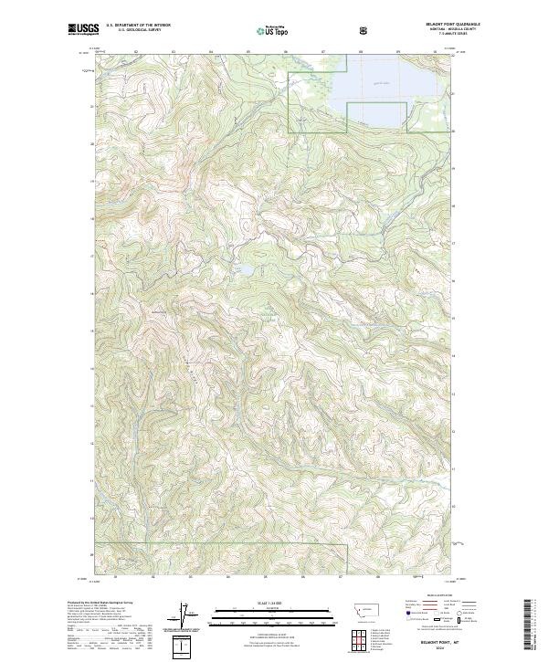
1965 Belmont Point
Missoula County, MT
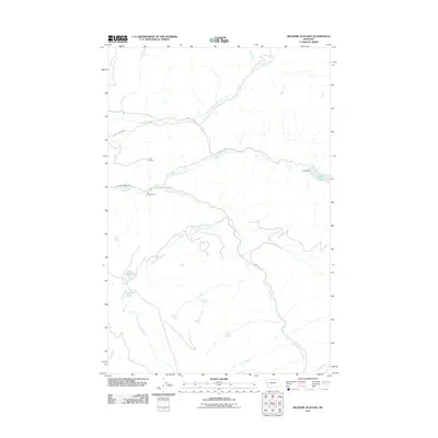
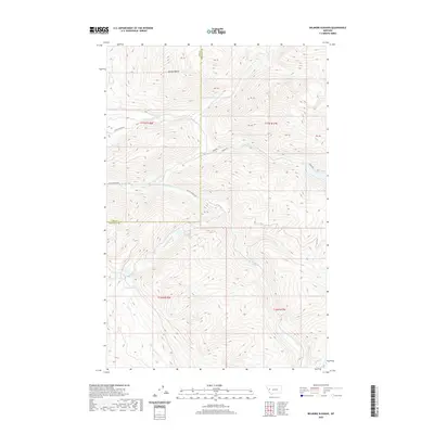
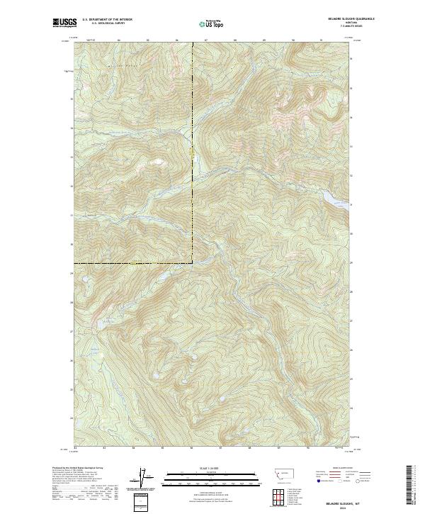
1965 Belmore Sloughs
Missoula County, MT
1965 Blue Point
Missoula County, MT
1965 Bonner
Missoula County, MT
1965 Cygnet Lake
Missoula County, MT
1965 Gold Creek Peak
Missoula County, MT
1965 Gray Wolf Lake
Missoula County, MT
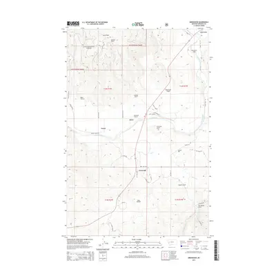
1965 Greenough
Missoula County, MT
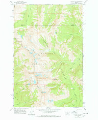
1965 Hemlock Lake
Missoula County, MT
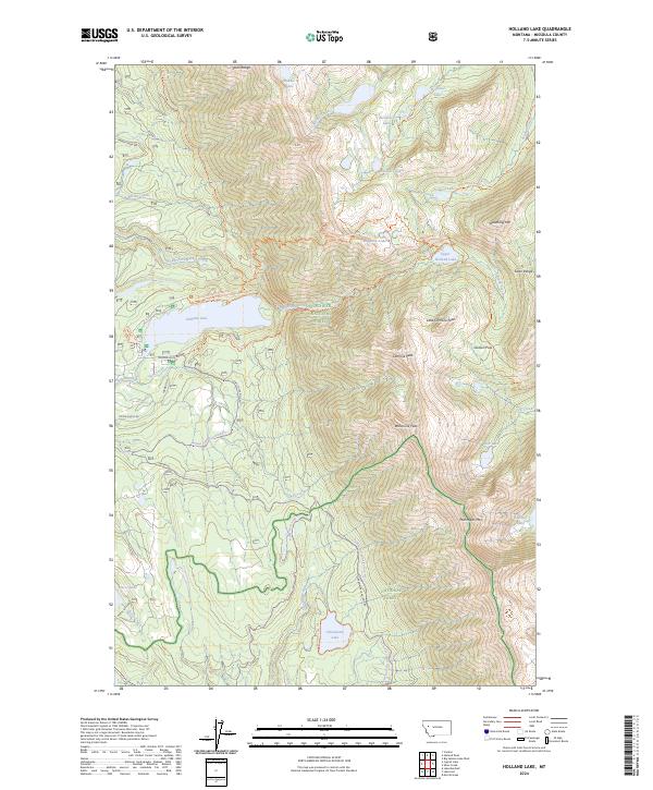
1965 Holland Lake
Missoula County, MT
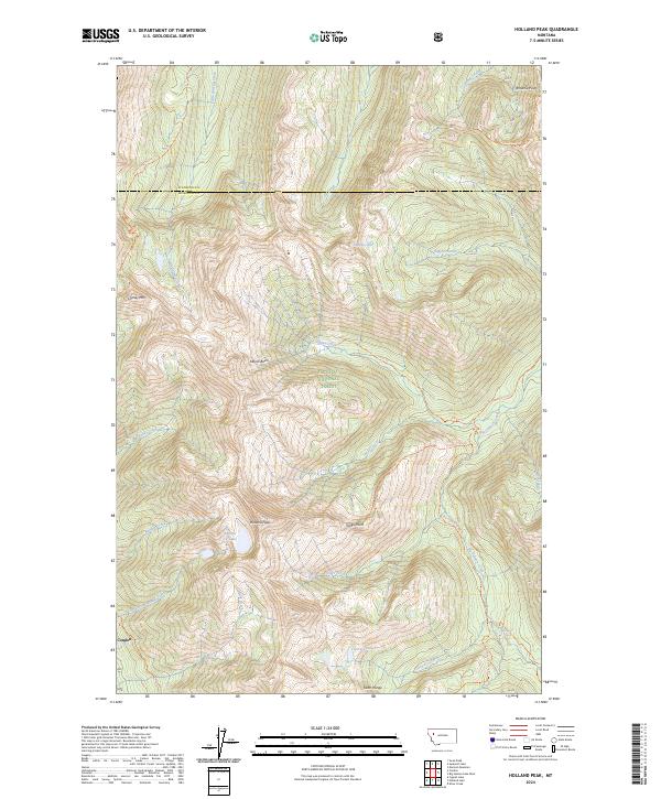
1965 Holland Peak
Missoula County, MT
1965 Lake Inez
Missoula County, MT
1965 Lake Marshall
Missoula County, MT
1965 Mineral Ridge
Missoula County, MT
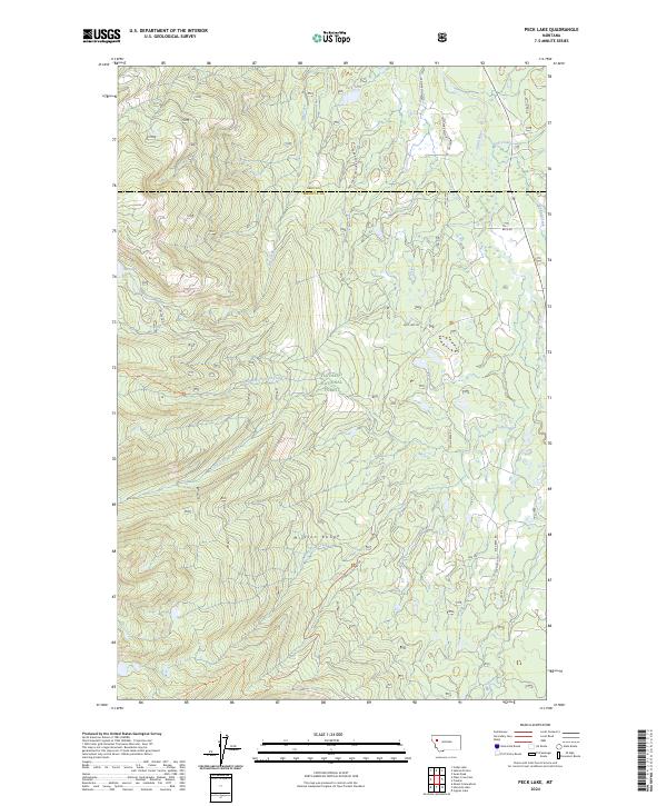
1965 Peck Lake
Missoula County, MT
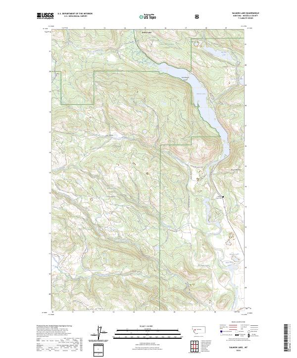
1965 Salmon Lake
Missoula County, MT
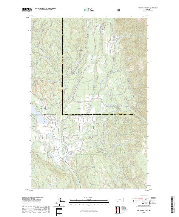
1965 Seeley Lake East
Missoula County, MT
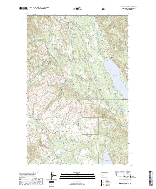
1965 Seeley Lake West
Missoula County, MT
1965 Stuart Peak
Missoula County, MT
1965 Sunflower Mountain
Missoula County, MT
1965 Union Peak
Missoula County, MT
1965 Upper Jocko Lake
Missoula County, MT
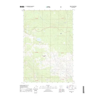
1965 Wapiti Lake
Missoula County, MT
1967 Carlton Lake
Missoula County, MT

1981 Missoula West
Missoula County, MT
1983 Horsehead Peak
Missoula County, MT
1984 Mc Cormick Peak
Missoula County, MT
1984 Missoula East
Missoula County, MT
1984 Stark North
Missoula County, MT
1987 Gray Wolf Lake
Missoula County, MT
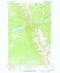
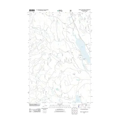
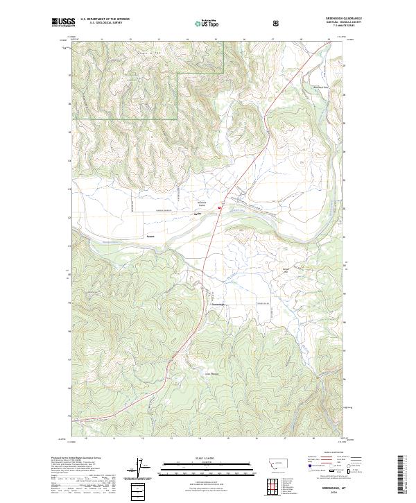
1987 Hemlock Lake
Missoula County, MT
1988 Gold Creek Peak
Missoula County, MT
1989 Belmore Sloughs
Missoula County, MT
1989 Davis Point
Missoula County, MT
1989 Elk Mountain
Missoula County, MT
1989 Iris Point
Missoula County, MT
1989 Lake Marshall
Missoula County, MT
1989 Mc Cormick Peak
Missoula County, MT
1994 Cygnet Lake
Missoula County, MT
1994 Gray Wolf Lake
Missoula County, MT
1994 Hemlock Lake
Missoula County, MT
1994 Holland Peak
Missoula County, MT
1994 Peck Lake
Missoula County, MT
1998 Carlton Lake
Missoula County, MT
1999 Belmont Point
Missoula County, MT
1999 Blue Mountain
Missoula County, MT
1999 Blue Point
Missoula County, MT
1999 Bonner
Missoula County, MT
1999 Camp Creek
Missoula County, MT
1999 Davis Point
Missoula County, MT
1999 Diamond Point
Missoula County, MT
1999 Dick Creek
Missoula County, MT
1999 Elk Mountain
Missoula County, MT
1999 Garden Point
Missoula County, MT
1999 Gold Creek Peak
Missoula County, MT
1999 Greenough
Missoula County, MT
1999 Horsehead Peak
Missoula County, MT
1999 Iris Point
Missoula County, MT
1999 Lake Inez
Missoula County, MT
1999 Lake Marshall
Missoula County, MT
1999 Lolo Hot Springs
Missoula County, MT
1999 Mccormick Peak
Missoula County, MT
1999 Northeast Missoula
Missoula County, MT
1999 Northwest Missoula
Missoula County, MT
1999 Petty MountaIn
Missoula County, MT
1999 Primrose
Missoula County, MT
1999 Salmon Lake
Missoula County, MT
1999 Seeley Lake East
Missoula County, MT
1999 Seeley Lake West
Missoula County, MT
1999 Southeast Missoula
Missoula County, MT
1999 Southwest Missoula
Missoula County, MT
1999 Stark North
Missoula County, MT
1999 Stuart Peak
Missoula County, MT
1999 Sunflower Mountain
Missoula County, MT
1999 Upper Jocko Lake
Missoula County, MT
1999 Wapiti Lake
Missoula County, MT
1999 West Fork Butte
Missoula County, MT
2011 Bata Mountain
Missoula County, MT
2011 Belmont Point
Missoula County, MT
2011 Belmore Sloughs
Missoula County, MT
2011 Blue Mountain
Missoula County, MT
2011 Blue Point
Missoula County, MT
2011 Bonner
Missoula County, MT
2011 Camp Creek
Missoula County, MT
2011 Carlton Lake
Missoula County, MT
2011 Cygnet Lake
Missoula County, MT
2011 Davis Point
Missoula County, MT
2011 Diamond Point
Missoula County, MT
2011 Dick Creek
Missoula County, MT
2011 Elk Mountain
Missoula County, MT
2011 Garden Point
Missoula County, MT
2011 Gold Creek Peak
Missoula County, MT
2011 Gray Wolf Lake
Missoula County, MT
2011 Greenough
Missoula County, MT
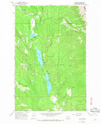
2011 Hemlock Lake
Missoula County, MT
2011 Holland Lake
Missoula County, MT
2011 Holland Peak
Missoula County, MT
2011 Horsehead Peak
Missoula County, MT
2011 Iris Point
Missoula County, MT
2011 Lake Inez
Missoula County, MT
2011 Lake Marshall
Missoula County, MT
2011 Lolo Hot Springs
Missoula County, MT
2011 McCormick Peak
Missoula County, MT
2011 Mineral Ridge
Missoula County, MT
2011 Northeast Missoula
Missoula County, MT
2011 Northwest Missoula
Missoula County, MT
2011 Peck Lake
Missoula County, MT
2011 Petty Mountain
Missoula County, MT
2011 Primrose
Missoula County, MT
2011 Salmon Lake
Missoula County, MT
2011 Seeley Lake East
Missoula County, MT
2011 Seeley Lake West
Missoula County, MT
2011 Southeast Missoula
Missoula County, MT
2011 Southwest Missoula
Missoula County, MT
2011 Stark North
Missoula County, MT
2011 Stuart Peak
Missoula County, MT
2011 Sunflower Mountain
Missoula County, MT
2011 Union Peak
Missoula County, MT
2011 Upper Jocko Lake
Missoula County, MT
2011 Wapiti Lake
Missoula County, MT
2011 West Fork Butte
Missoula County, MT
2014 Bata Mountain
Missoula County, MT
2014 Belmont Point
Missoula County, MT
2014 Belmore Sloughs
Missoula County, MT
2014 Blue Mountain
Missoula County, MT
2014 Blue Point
Missoula County, MT
2014 Bonner
Missoula County, MT
2014 Camp Creek
Missoula County, MT
2014 Carlton Lake
Missoula County, MT
2014 Cygnet Lake
Missoula County, MT
2014 Davis Point
Missoula County, MT
2014 Diamond Point
Missoula County, MT
2014 Dick Creek
Missoula County, MT
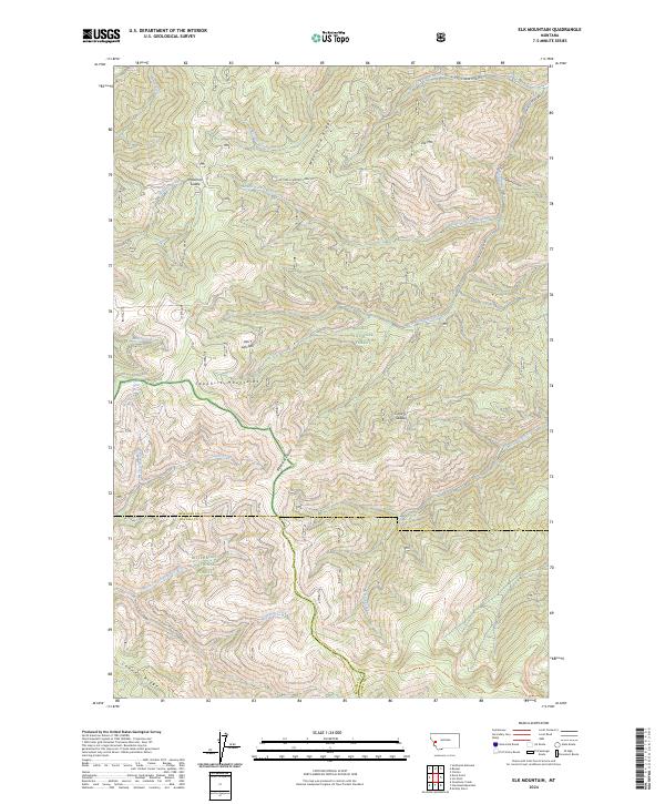
2014 Elk Mountain
Missoula County, MT
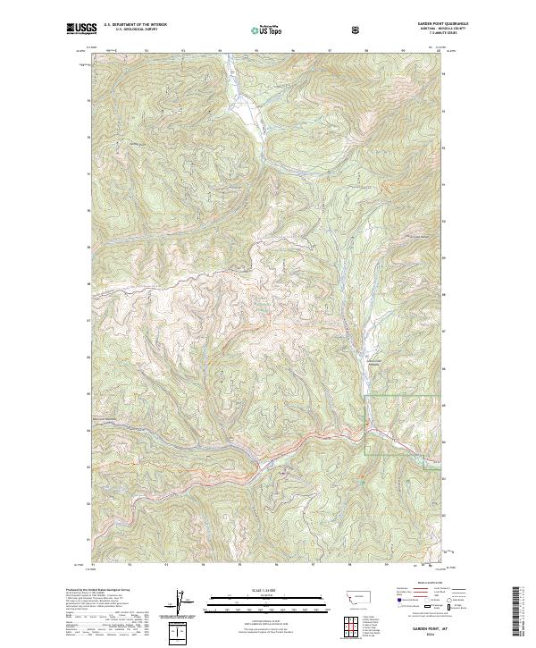
2014 Garden Point
Missoula County, MT
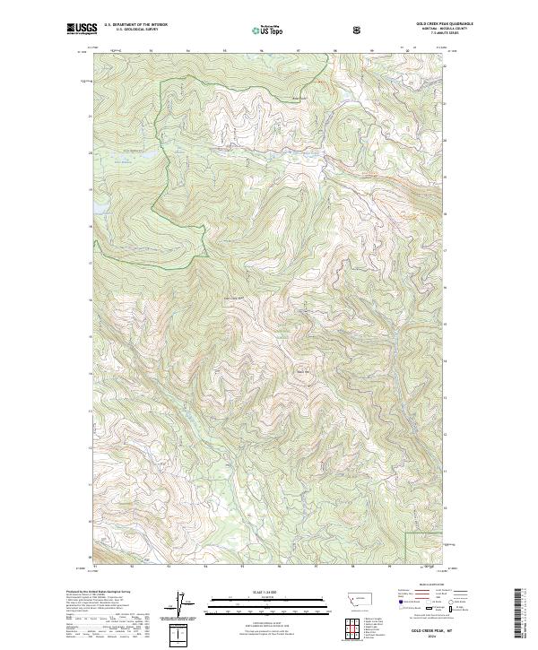
2014 Gold Creek Peak
Missoula County, MT
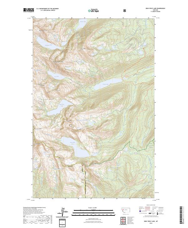
2014 Gray Wolf Lake
Missoula County, MT
2014 Greenough
Missoula County, MT
2014 Hemlock Lake
Missoula County, MT
2014 Holland Lake
Missoula County, MT
2014 Holland Peak
Missoula County, MT
2014 Horsehead Peak
Missoula County, MT

2014 Iris Point
Missoula County, MT
2014 Lake Inez
Missoula County, MT
2014 Lake Marshall
Missoula County, MT
2014 Lolo Hot Springs
Missoula County, MT
2014 McCormick Peak
Missoula County, MT
2014 Mineral Ridge
Missoula County, MT
2014 Northeast Missoula
Missoula County, MT
2014 Northwest Missoula
Missoula County, MT
2014 Peck Lake
Missoula County, MT
2014 Petty Mountain
Missoula County, MT

2014 Primrose
Missoula County, MT
2014 Salmon Lake
Missoula County, MT
2014 Seeley Lake East
Missoula County, MT
2014 Seeley Lake West
Missoula County, MT
2014 Southeast Missoula
Missoula County, MT
2014 Southwest Missoula
Missoula County, MT
2014 Stark North
Missoula County, MT
2014 Stuart Peak
Missoula County, MT
2014 Sunflower Mountain
Missoula County, MT
2014 Union Peak
Missoula County, MT
2014 Upper Jocko Lake
Missoula County, MT
2014 Wapiti Lake
Missoula County, MT
2014 West Fork Butte
Missoula County, MT

2017 Bata Mountain
Missoula County, MT
2017 Belmont Point
Missoula County, MT
2017 Belmore Sloughs
Missoula County, MT
2017 Blue Mountain
Missoula County, MT
2017 Blue Point
Missoula County, MT
2017 Bonner
Missoula County, MT
2017 Camp Creek
Missoula County, MT
2017 Carlton Lake
Missoula County, MT
2017 Cygnet Lake
Missoula County, MT
2017 Davis Point
Missoula County, MT
2017 Diamond Point
Missoula County, MT
2017 Dick Creek
Missoula County, MT
2017 Elk Mountain
Missoula County, MT
2017 Garden Point
Missoula County, MT
2017 Gold Creek Peak
Missoula County, MT
2017 Gray Wolf Lake
Missoula County, MT
2017 Greenough
Missoula County, MT
2017 Hemlock Lake
Missoula County, MT
2017 Holland Lake
Missoula County, MT
2017 Holland Peak
Missoula County, MT
2017 Horsehead Peak
Missoula County, MT
2017 Iris Point
Missoula County, MT
2017 Lake Inez
Missoula County, MT
2017 Lake Marshall
Missoula County, MT
2017 Lolo Hot Springs
Missoula County, MT
2017 McCormick Peak
Missoula County, MT
2017 Mineral Ridge
Missoula County, MT
2017 Northeast Missoula
Missoula County, MT
2017 Northwest Missoula
Missoula County, MT
2017 Peck Lake
Missoula County, MT
2017 Petty Mountain
Missoula County, MT
2017 Primrose
Missoula County, MT
2017 Salmon Lake
Missoula County, MT
2017 Seeley Lake East
Missoula County, MT
2017 Seeley Lake West
Missoula County, MT
2017 Southeast Missoula
Missoula County, MT
2017 Southwest Missoula
Missoula County, MT
2017 Stark North
Missoula County, MT
2017 Stuart Peak
Missoula County, MT
2017 Sunflower Mountain
Missoula County, MT
2017 Union Peak
Missoula County, MT
2017 Upper Jocko Lake
Missoula County, MT
2017 Wapiti Lake
Missoula County, MT
2017 West Fork Butte
Missoula County, MT
2020 Bata Mountain
Missoula County, MT
2020 Belmont Point
Missoula County, MT
2020 Belmore Sloughs
Missoula County, MT
2020 Blue Mountain
Missoula County, MT
2020 Blue Point
Missoula County, MT
2020 Bonner
Missoula County, MT
2020 Camp Creek
Missoula County, MT
2020 Carlton Lake
Missoula County, MT
2020 Cygnet Lake
Missoula County, MT
2020 Davis Point
Missoula County, MT
2020 Diamond Point
Missoula County, MT
2020 Dick Creek
Missoula County, MT
2020 Elk Mountain
Missoula County, MT
2020 Garden Point
Missoula County, MT
2020 Gold Creek Peak
Missoula County, MT
2020 Gray Wolf Lake
Missoula County, MT
2020 Greenough
Missoula County, MT
2020 Hemlock Lake
Missoula County, MT
2020 Holland Lake
Missoula County, MT
2020 Holland Peak
Missoula County, MT
2020 Horsehead Peak
Missoula County, MT
2020 Iris Point
Missoula County, MT
2020 Lake Inez
Missoula County, MT
2020 Lake Marshall
Missoula County, MT
2020 Lolo Hot Springs
Missoula County, MT
2020 McCormick Peak
Missoula County, MT
2020 Mineral Ridge
Missoula County, MT
2020 Northeast Missoula
Missoula County, MT
2020 Northwest Missoula
Missoula County, MT
2020 Peck Lake
Missoula County, MT
2020 Petty Mountain
Missoula County, MT
2020 Primrose
Missoula County, MT
2020 Salmon Lake
Missoula County, MT
2020 Seeley Lake East
Missoula County, MT
2020 Seeley Lake West
Missoula County, MT
2020 Southeast Missoula
Missoula County, MT
2020 Southwest Missoula
Missoula County, MT
2020 Stark North
Missoula County, MT
2020 Stuart Peak
Missoula County, MT
2020 Sunflower Mountain
Missoula County, MT
2020 Union Peak
Missoula County, MT
2020 Upper Jocko Lake
Missoula County, MT
2020 Wapiti Lake
Missoula County, MT
2020 West Fork Butte
Missoula County, MT
2024 Bata Mountain
Missoula County, MT
2024 Belmont Point
Missoula County, MT
2024 Belmore Sloughs
Missoula County, MT
2024 Blue Mountain
Missoula County, MT
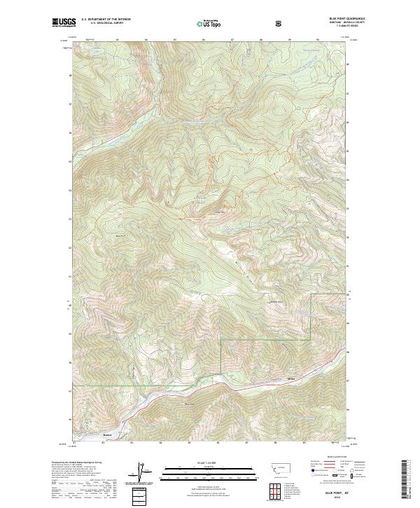
2024 Blue Point
Missoula County, MT
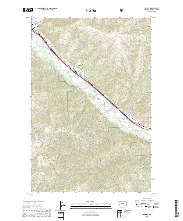
2024 Bonner
Missoula County, MT
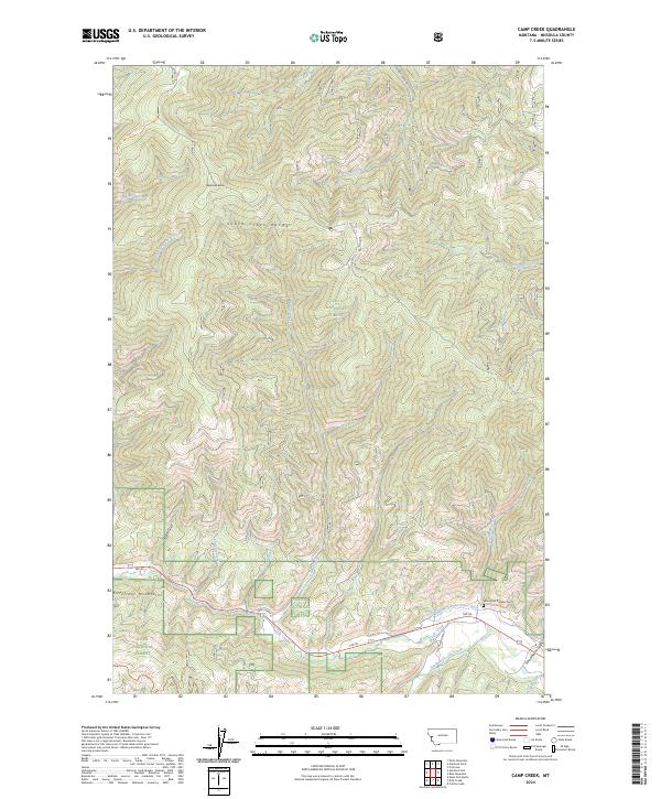
2024 Camp Creek
Missoula County, MT
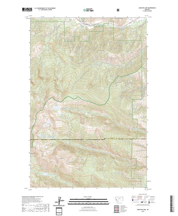
2024 Carlton Lake
Missoula County, MT
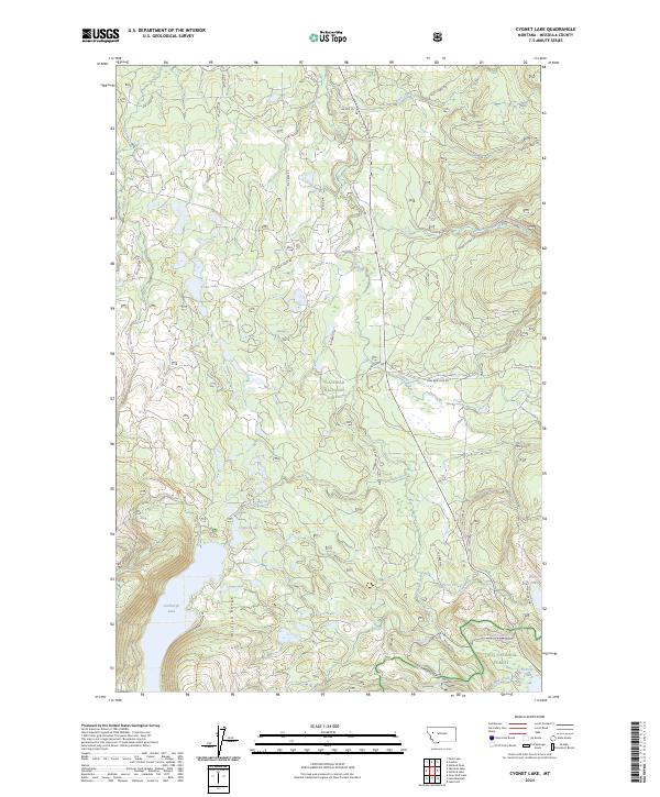
2024 Cygnet Lake
Missoula County, MT
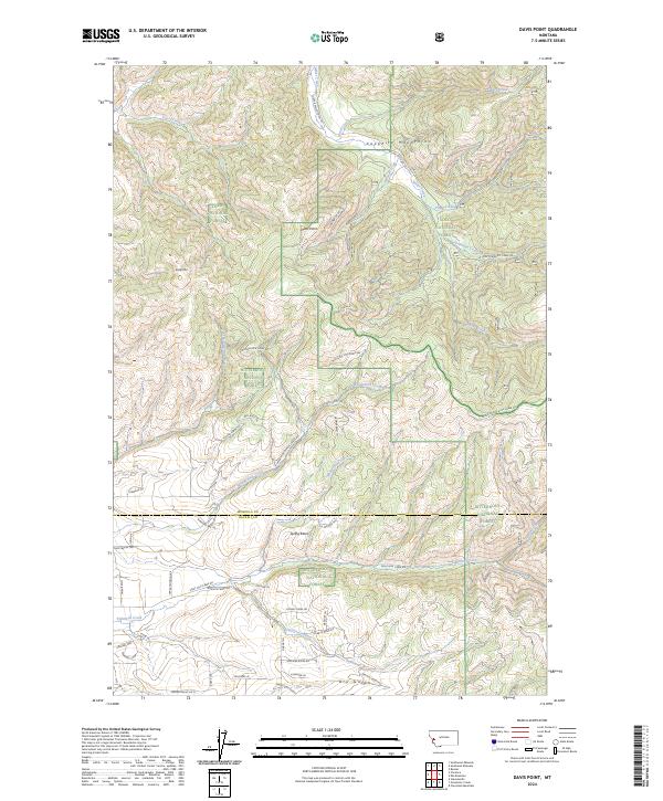
2024 Davis Point
Missoula County, MT
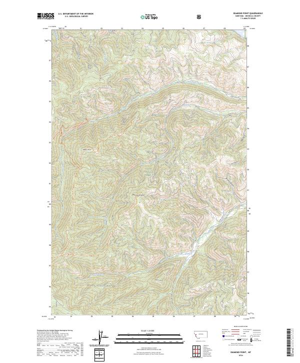
2024 Diamond Point
Missoula County, MT
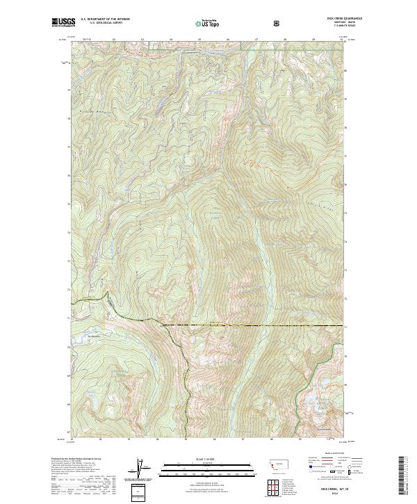
2024 Dick Creek
Missoula County, MT
2024 Elk Mountain
Missoula County, MT
2024 Garden Point
Missoula County, MT
2024 Gold Creek Peak
Missoula County, MT
2024 Gray Wolf Lake
Missoula County, MT
2024 Greenough
Missoula County, MT
2024 Hemlock Lake
Missoula County, MT
2024 Holland Lake
Missoula County, MT
2024 Holland Peak
Missoula County, MT
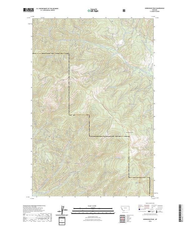
2024 Horsehead Peak
Missoula County, MT
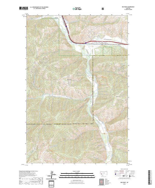
2024 Iris Point
Missoula County, MT
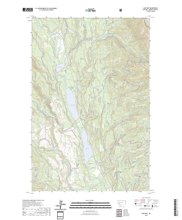
2024 Lake Inez
Missoula County, MT
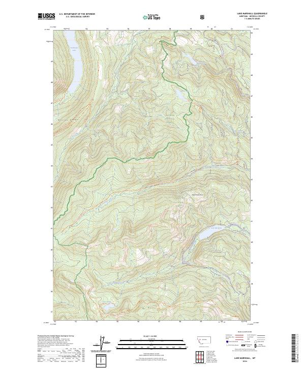
2024 Lake Marshall
Missoula County, MT
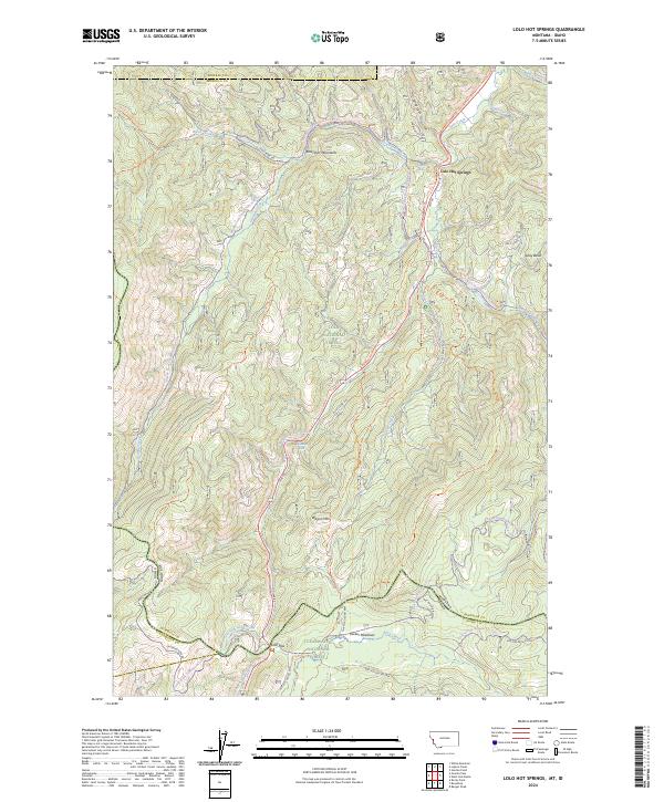
2024 Lolo Hot Springs
Missoula County, MT
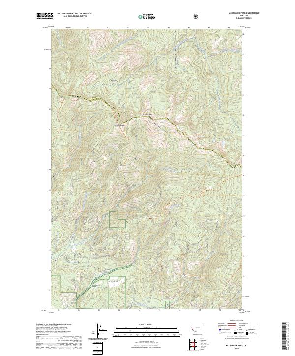
2024 McCormick Peak
Missoula County, MT
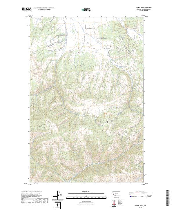
2024 Mineral Ridge
Missoula County, MT
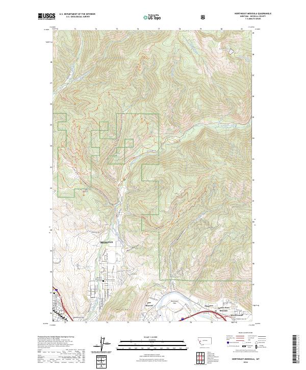
2024 Northeast Missoula
Missoula County, MT
2024 Northwest Missoula
Missoula County, MT
2024 Peck Lake
Missoula County, MT
2024 Petty Mountain
Missoula County, MT
2024 Primrose
Missoula County, MT
2024 Salmon Lake
Missoula County, MT
2024 Seeley Lake East
Missoula County, MT
2024 Seeley Lake West
Missoula County, MT
2024 Southeast Missoula
Missoula County, MT
2024 Southwest Missoula
Missoula County, MT
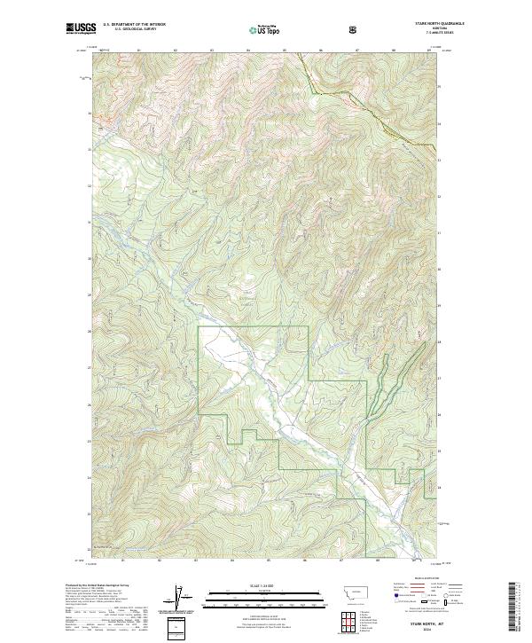
2024 Stark North
Missoula County, MT
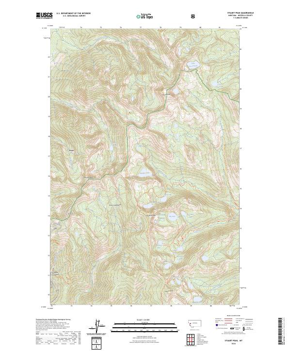
2024 Stuart Peak
Missoula County, MT
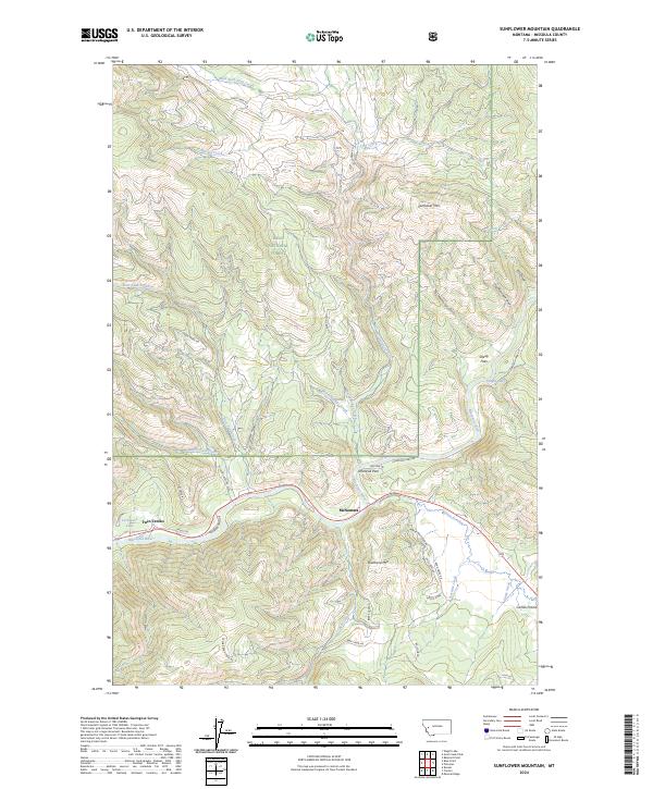
2024 Sunflower Mountain
Missoula County, MT
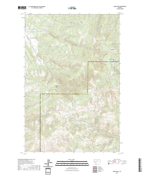
2024 Union Peak
Missoula County, MT
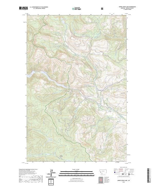
2024 Upper Jocko Lake
Missoula County, MT
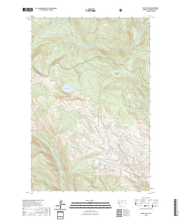
2024 Wapiti Lake
Missoula County, MT
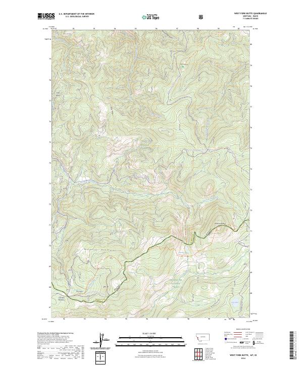
2024 West Fork Butte
Missoula County, MT