2000s (21st Century) Maps of Missoula County, Montana
Explore 380 historic maps of Missoula County from the 2000s (21st Century). These maps offer a rare glimpse into what life looked like during the 2000s — showing old roads, neighborhoods, homes, and landmarks that have changed or disappeared over time.
Whether you're researching your family's past, planning a metal detecting trip, or studying how Missoula County's landscape evolved across the 2000s, these high-resolution maps are a powerful tool for exploring the history of this region.
- Focus on a specific era: All maps on this page are from the 2000s, giving you a focused view of this time period.
- See what’s changed: Compare century-old streets, trails, and buildings to today's modern landscape using overlays and satellite layers.
- Research with precision: Use these maps for genealogy, historical research, land use analysis, or educational projects.
- View, download, or print: Maps are fully viewable online in high resolution, and can be downloaded or printed for your own records.
Start exploring Missoula County's history through authentic maps from the 2000s. This is your window into the past.
Missoula County, MT maps
(380)- 2011 Map of Sunflower Mountain, 2011 Print
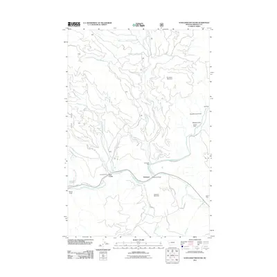 2011 Sunflower Mountain2011 Print · USGSThe Blackfoot River valley was a quiet hub of mountain access and small-scale settlement in 2011. Genealogists and outdoor historians can trace the roads and landmarks of McNamara or locate the Twin Creek Camp and the waters of Lockwood Lake.
 - 2011 Map of Mineral Ridge, 2011 Print
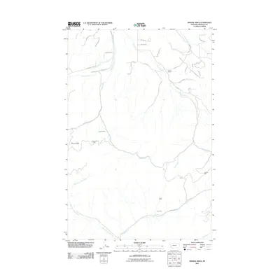 2011 Mineral Ridge2011 Print · USGSMissoula County’s mountain interior is mapped here in the early twenty-first century, showing a landscape shaped by mining and remote access. Researchers can locate the Charcoal Mine and Linton Mine or trace the winding course of Camas Creek near Camas Airport.
 - 2011 Map of Elk Mountain, 2011 Print
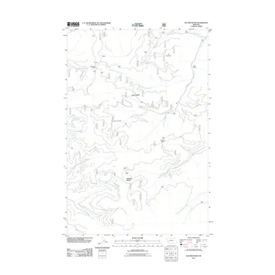 2011 Elk Mountain2011 Print · USGSMissoula County's backcountry is detailed in the early twenty-first century as a complex landscape of saddles and creek drainages. Researchers can trace forest transit routes through Yukon Saddle and Eightmile Saddle or locate the remote Last Drink Springs.
 - 2011 Map of Medicine Tree Hill, 2011 Print
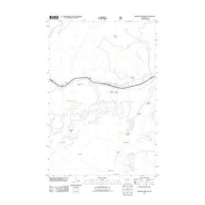 2011 Medicine Tree Hill2011 Print · USGSGranite County at the start of the 2010s shows a landscape of deep Montana gulches and river valley settlements. Researchers can trace the path of the Mullan Rd and find localized landmarks like Medicine Tree Hill, Nimrod, and Chalet Bearmouth.
 - 2011 Map of Iris Point, 2011 Print
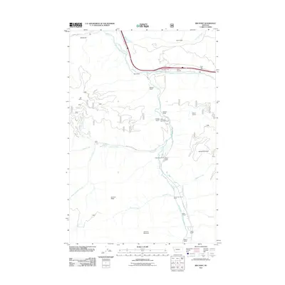 2011 Iris Point2011 Print · USGSThe Clark Fork and Rock Creek valleys come alive in this 2011 survey, showing the mix of travel corridors and mountain ranchlands. Genealogists and historians can trace family sites like Finlen Ranch, landmarks like Rock Creek Lodge, and the Elliot Airstrip.
 - 2011 Map of Bata Mountain, 2011 Print
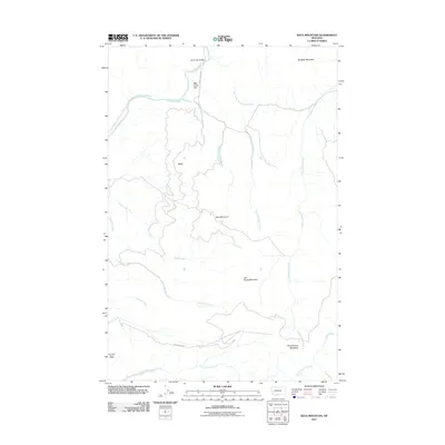 2011 Bata Mountain2011 Print · USGSMissoula County’s mountain interior is shown in detail during the early twenty-first century, highlighting a landscape of timber and mining. Researchers can locate the Elk Creek Barite Mine and trace routes along the Blackfoot River past Bear Creek Flat.
 - 2011 Map of Davis Point, 2011 Print
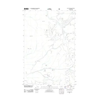 2011 Davis Point2011 Print · USGSMissoula County mining claims and rugged terrain are documented here in the early twenty-first century. Researchers can trace the proximity of numerous mineral sites like the Waldbilling Mine and White Cloud Mine to water sources like Eightmile Creek.
 - 2011 Map of Bonner, 2011 Print
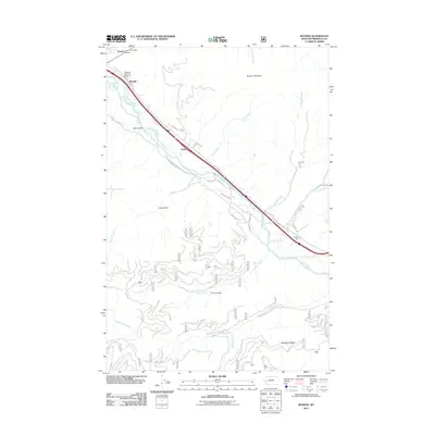 2011 Bonner2011 Print · USGSThe confluence of the Blackfoot River and Clark Fork defined this Montana valley in the early twenty-first century. Researchers can trace the river-bound settlements of Bonner, Turah, and Piltzville along the historic corridor of Old US Hwy 10.
 - 2011 Map of Clinton, 2011 Print
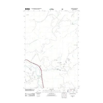 2011 Clinton2011 Print · USGSClinton is seen here in the early twenty-first century, positioned at the confluence of the Clark Fork and Wallace Creek. Researchers can trace an extensive network of mining history through sites like the Cape Nome Mine, Bellview Mine, and Wallace Creek Mill Mine.
 - 2011 Map of Blue Point, 2011 Print
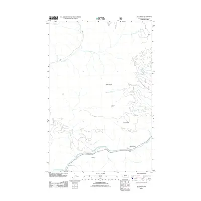 2011 Blue Point2011 Print · USGSMissoula County at the start of the decade reveals a landscape where the river economy and mountain terrain meet. Researchers can trace the path of the Blackfoot River past the settlement of Miller, the Blue Slide, and Wisherd Gulch.
 - 2011 Map of Potomac, 2011 Print
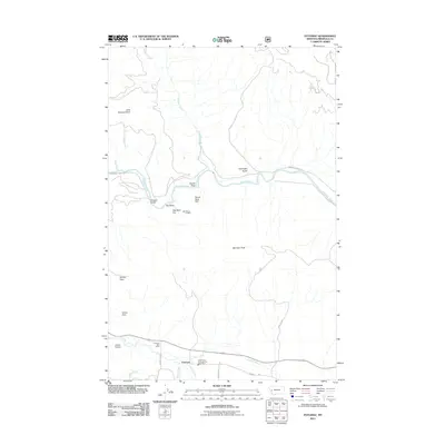 2011 Potomac2011 Print · USGSThe Potomac valley in the early twenty-first century shows a landscape where mountain ranching and local infrastructure meet the Blackfoot River. Genealogists and researchers can trace local landmarks like the Potomac Post Office, the SW Section 23 Mine, and the historic Whitaker Bridge.
 - 2011 Map of Elevation Mountain, 2011 Print
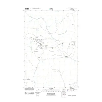 2011 Elevation Mountain2011 Print · USGSThe Garnet Range was a center of intensive mineral extraction in the mountains of western Montana. Genealogists and historians can trace dozens of specific claims like the Nancy Hanks Mine and Shamrock Mine, alongside early settlements like Beartown.
 - 2011 Map of Ravenna, 2011 Print
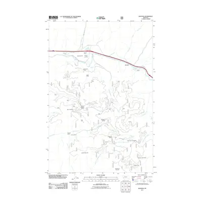 2011 Ravenna2011 Print · USGSThe Clark Fork river valley in the early 21st century reveals a landscape of mountain transit and riverside settlements. Researchers can trace the engineering of the Beavertail Tunnel and Nimrod Tunnels alongside the quiet locales of Ravenna and Bonita.
 - 2011 Map of Union Peak, 2011 Print
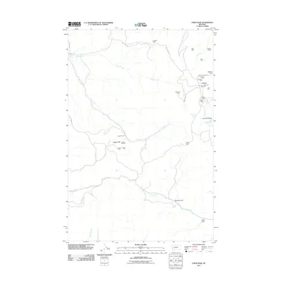 2011 Union Peak2011 Print · USGSThe Garnet Range mining district comes into focus on this recent survey, showing the concentrated claims around Coloma at the turn of the decade. Genealogists and historians can trace the paths between the Coloma Cemetery, the Copper Cliff works, and the Mammoth Mine.
 - 2011 Map of Greenough, 2011 Print
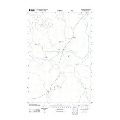 2011 Greenough2011 Print · USGSMissoula County at the start of the 2010s shows a landscape of timber camps and river corridors. You can locate the Greenough Post Office, trace the mountain roads to Hunter Point Lookout Tower, and explore the canyon lands around Barite.
 - 2011 Map of Granite Pass, 2011 Print
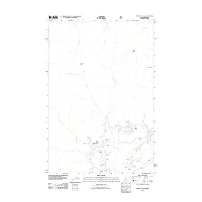 2011 Granite Pass2011 Print · USGSThe Bitterroot wilderness at the Idaho-Montana border is captured here in the early twenty-first century. Researchers can trace high-altitude drainage systems and access routes through Granite Pass, BM Hill Lookout, and the winding Crooked Fork.
 - 2011 Map of Lupine Creek, 2011 Print
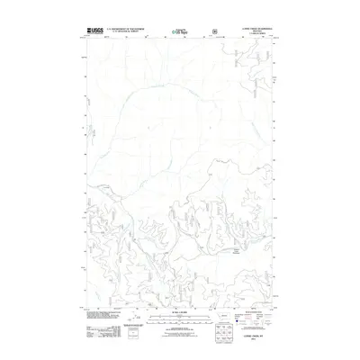 2011 Lupine Creek2011 Print · USGSThis Montana mountain landscape in the early twenty-first century reveals a network of high-country drainages and forest settlements. Local historians can trace the geography of Grovedale, the riparian expanse of Howard Creek Meadows, and the winding S Fork Fish Creek Rd.
 - 2011 Map of Lolo Hot Springs, 2011 Print
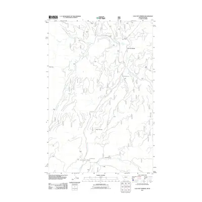 2011 Lolo Hot Springs2011 Print · USGSThe Bitterroot mountainside at the Montana-Idaho border comes into focus in this recent study. You can trace the alpine terrain surrounding Lolo Hot Springs, the high trails near Wagon Mountain, and historical landmarks like the State Line Cabin.
 - 2011 Map of Primrose, 2011 Print
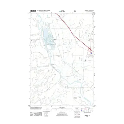 2011 Primrose2011 Print · USGSMissoula County at the start of the 2010s reveals a landscape shaped by the Clark Fork and irrigation networks. Researchers can trace the layout of the Schilling Siding, the historic grounds of Council Grove, and family-named terrain like Sherman Gulch.
 - 2011 Map of Blue Mountain, 2011 Print
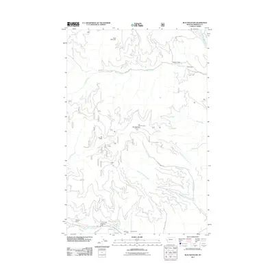 2011 Blue Mountain2011 Print · USGSMissoula County's high ridges and timbered gulches are mapped in detail here during the early twenty-first century. Researchers can locate specific sites like the Chickaman Mine or trace the winding paths of O'Brien Creek Rd and Sleeman Creek Rd.
 - 2011 Map of Garden Point, 2011 Print
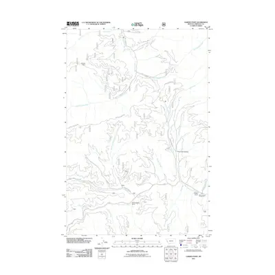 2011 Garden Point2011 Print · USGSMissoula County’s mountain corridors are captured here in the early 21st century, showing a landscape defined by its deep drainages and historical passage. You can trace the geography of western Montana through Chief Joseph Gulch, Grave Creek Meadow, and the Lewis and Clark Campground.
 - 2011 Map of West Fork Butte, 2011 Print
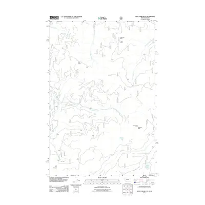 2011 West Fork Butte2011 Print · USGSThe high Bitterroot Range on the Montana-Idaho border is captured here in the early twenty-first century. Researchers can locate remote high-country landmarks like the West Fork Butte Lookout, Lost Park Meadows, and the headwaters of East Fork Lolo Creek.
 - 2011 Map of Carlton Lake, 2011 Print
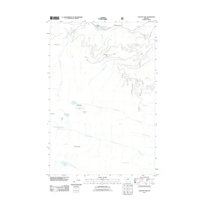 2011 Carlton Lake2011 Print · USGSThe high peaks and drainages of Missoula County are meticulously detailed here in the early twenty-first century. Outdoor historians and researchers can locate the Mill Creek Mine, trace the Carlton Creek watershed, or find the historic Fort Fizzle Campground.
 - 2011 Map of Dick Creek, 2011 Print
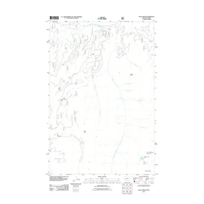 2011 Dick Creek2011 Print · USGSMissoula County mining and mountain hydrology are documented here during the early twenty-first century. Researchers can locate specific lode and placer operations such as the Ward Lode Mine and Dick Creek Mine near the headwaters of Skookum Lake.
 - 2011 Map of Diamond Point, 2011 Print
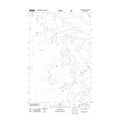 2011 Diamond Point2011 Print · USGSMissoula County in the early twenty-first century is captured here in a period of rugged industrial and natural isolation. Local historians can trace the geography of the Wheeler Barite Mine and numerous named drainages like Emma Gulch and Rock Creek.
Showing maps 1-25 of 380
Top cities of Missoula County
Frequently asked questions
- What are the different types of historical maps available for Missoula County?
- What is the oldest map of Missoula County?
- Where can I purchase historical maps of Missoula County for my home or office?
- Where can I download high-res historical maps of Missoula County?
- Are there historical topographic maps available for Missoula County?
- Is there historical aerial imagery available for Missoula County?
- Where are historical maps of Missoula County sourced from?