
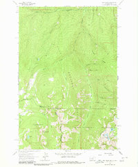
1964 Map of Dick Creek
USGS Topo · Published 1967About this map
Lolo National Forest and the Bitterroot National Forest converge at this point on the Montana-Idaho border during the mid-1960s. The landscape is defined by its administrative and natural boundaries, including the Selway-Bitterroot Wilderness and the Clearwater National Forest. Higher elevations are marked by landmarks like Rocky Point and Lantern Ridge, while the alpine basins hold small water bodies such as Skookum Lake, Duffy Lake, and Holloway Lake.
Find a feature on this map
40 named features on this map. Tap any name to fly to it.
Don’t see what you’re looking for? This feature index may not catch every label — zoom into the map to look around manually.
Map Details
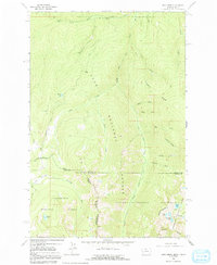
Editions of this 1964 Dick Creek Map
3 editions found
Other maps of this area

1912 · Missoula
USGS Topo · 1:125,000

1956 · Hamilton
USGS Topo · 1:250,000

1959 · Hamilton
USGS Topo · 1:250,000

1960 · Hamilton
USGS Topo · 1:250,000

1964 · Hamilton
USGS Topo · 1:250,000

1964 · Garden Point
USGS Topo · 1:24,000

1964 · West Fork Butte
USGS Topo · 1:24,000
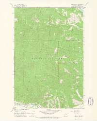
1964 · Blue Mountain
USGS Topo · 1:24,000
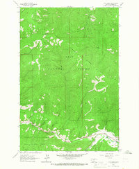
1964 · Camp Creek
USGS Topo · 1:24,000

1964 · St. Joseph Peak
USGS Topo · 1:24,000