2020s Maps of Petroleum County, Montana
Explore 92 historic maps of Petroleum County from the 2020s. These maps offer a rare glimpse into what life looked like during the 2020s — showing old roads, neighborhoods, homes, and landmarks that have changed or disappeared over time.
Whether you're researching your family's past, planning a metal detecting trip, or studying how Petroleum County's landscape evolved across the 2020s, these high-resolution maps are a powerful tool for exploring the history of this region.
- Focus on a specific era: All maps on this page are from the 2020s, giving you a focused view of this time period.
- See what’s changed: Compare century-old streets, trails, and buildings to today's modern landscape using overlays and satellite layers.
- Research with precision: Use these maps for genealogy, historical research, land use analysis, or educational projects.
- View, download, or print: Maps are fully viewable online in high resolution, and can be downloaded or printed for your own records.
Start exploring Petroleum County's history through authentic maps from the 2020s. This is your window into the past.
Petroleum County, MT maps
(92)- 2020 Map of Maxwell Ranch, 2020 Print
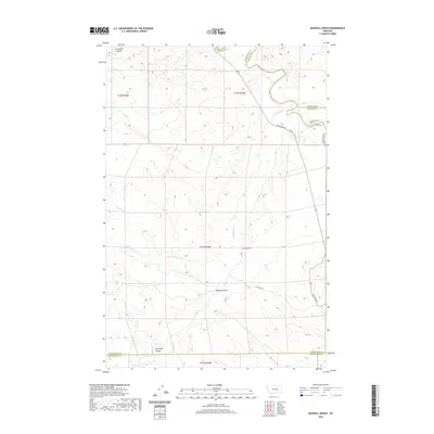 2020 Maxwell Ranch2020 Print · USGSThis Montana ranching landscape at the turn of the decade shows the remote intersection of Petroleum, Garfield, and Rosebud counties. Genealogists and local historians can trace legacy land use at the Maxwell Ranch and follow old routes like Melstone Rd.
 - 2020 Map of Mosby, 2020 Print
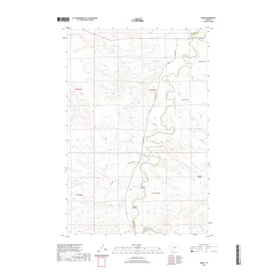 2020 Mosby2020 Print · USGSThe Musselshell River breaks through the central Montana plains in this recent survey of the border between Petroleum and Garfield counties. Genealogists and historians can trace the riverside location of Mosby or locate family landmarks like Hill Ranch and Maxwell Ranch.
 - 2020 Map of Mosby SE, 2020 Print
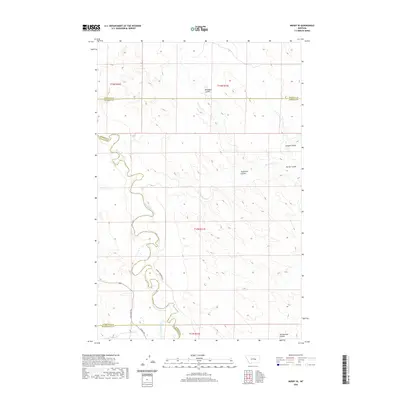 2020 Mosby SE2020 Print · USGSCentral Montana ranching country is documented here at the turn of the decade, where the Musselshell River defines the county boundaries. Researchers can trace land holdings at the Kincheloe Ranch and Hill Ranch or locate the path of the Delphia Melstone Ditch.
 - 2020 Map of Crowley Dam, 2020 Print
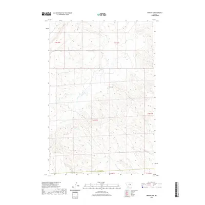 2020 Crowley Dam2020 Print · USGSPetroleum County's ranching country is mapped here during the early twenty-first century, showing the remote landscape south of Winnett. Researchers can trace the drainage of Alkali Cr and locate isolated landmarks like Crowley Dam and Jim Coulee.
 - 2020 Map of Petrolia Lake, 2020 Print
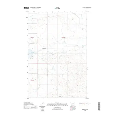 2020 Petrolia Lake2020 Print · USGSPetroleum County's high plains and seasonal waterways are captured here in the modern era. Genealogists and historians can trace local landmarks like Rattlesnake Butte and the winding paths of Flatwillow Cr and Racehorse Coulee.
 - 2020 Map of Mud Spring, 2020 Print
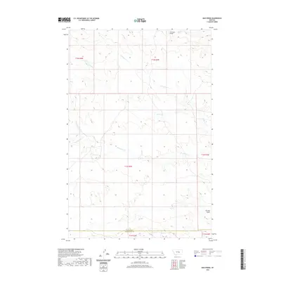 2020 Mud Spring2020 Print · USGSPetroleum County's high plains are mapped here in the modern era, showing the vital water sources and coulees of the central Montana landscape. Researchers can locate named landmarks such as Mud Spring, Circle Bar Spring, and the deep drainage of Salt Sage Coulee.
 - 2020 Map of Nelson Coulee, 2020 Print
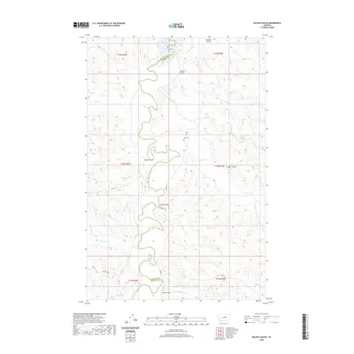 2020 Nelson Coulee2020 Print · USGSPetroleum and Garfield Counties are shown here as they appeared in the early twenty-first century along the winding Musselshell River. Genealogists and local historians can trace legacy routes like Stage Rd and locate the remote Coon Cem.
 - 2020 Map of Winnett South, 2020 Print
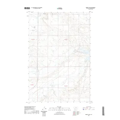 2020 Winnett South2020 Print · USGSPetroleum County's ranching landscape is captured in this modern survey, centered on the community of Winnett. Researchers can trace the winding paths of Flatwillow Cr and Yellow Water Cr or locate the shoreline of Petrolia Lake.
 - 2020 Map of Breed Spring, 2020 Print
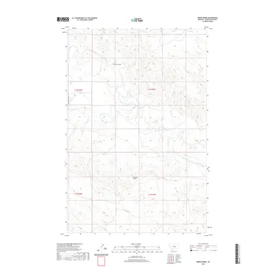 2020 Breed Spring2020 Print · USGSPetroleum County's high plains landscape is captured here in the modern era, showing the intricate drainage of the Missouri River basin. Researchers can trace the paths of Flatwillow Cr and Box Elder Cr alongside landmarks like Breed Spring.
 - 2020 Map of Lake Mason NW, 2020 Print
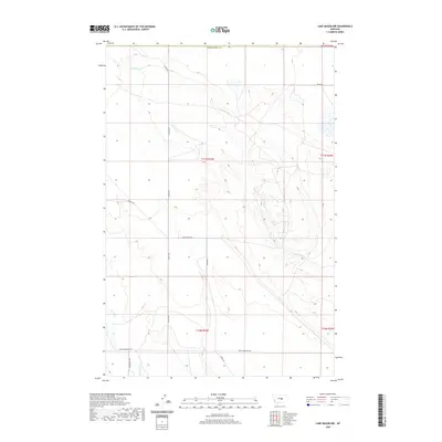 2020 Lake Mason NW2020 Print · USGSFergus County's high plains and creek valleys are documented here in the early twenty-first century, showcasing the rural road network and water systems. Researchers can trace land access and local water sources along N Willow Cr, Snowy Mountain Rd, and Graves Rd.
 - 2020 Map of Kelley, 2020 Print
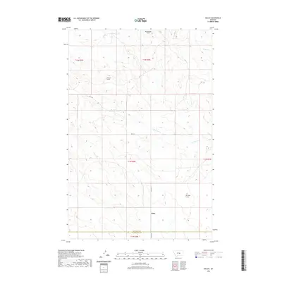 2020 Kelley2020 Print · USGSPetroleum County's ranching landscape is captured here in the contemporary era, showing the intersection of wide-open terrain and historical property lines. Trace the paths of Kelley Rd as it winds past Johnson Coulee and the prominent Rattlesnake Butte.
 - 2020 Map of Snoose Creek, 2020 Print
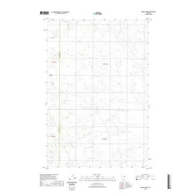 2020 Snoose Creek2020 Print · USGSFergus and Petroleum counties meet in this open ranching landscape during the early twenty-first century. Researchers can trace the drainage of Yellow Water Cr across Tennessee Flat and locate the paths of Double S Rd and Snoose Cr.
 - 2020 Map of Lake Mason NE, 2020 Print
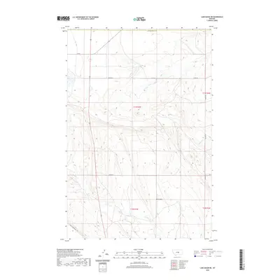 2020 Lake Mason NE2020 Print · USGSPetroleum County ranching country is captured here in the early twenty-first century, showing the intersection of local watercourses and range roads. Genealogists and land researchers can trace property boundaries along Colony Rd or follow the paths of N Willow Cr and Crooked Cr.
 - 2020 Map of Pike Creek Hills West, 2020 Print
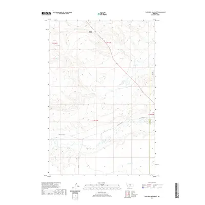 2020 Pike Creek Hills West2020 Print · USGSThe ranchlands along the Fergus and Petroleum County line come to life in this recent survey. Local researchers can trace the course of Flatwillow Cr and identify landmarks like Kinnick Coulee and the Pike Creek Hills.
 - 2020 Map of Big Wall NW, 2020 Print
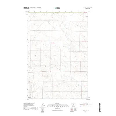 2020 Big Wall NW2020 Print · USGSMusselshell County in 2020 is characterized by its dramatic drainage networks and the distinct geological feature of Devils Basin. Genealogists and historians can trace the road networks around the local colony, including Colony Rd and Alec Roy Rd.
 - 2020 Map of Pike Creek Hills East, 2020 Print
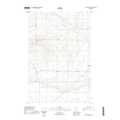 2020 Pike Creek Hills East2020 Print · USGSFergus and Petroleum counties meet in this 2020 map of the Central Montana rangelands, where high benches give way to winding creek bottoms. Researchers can trace the rugged drainage of Flatwillow Creek and find landmarks like Lamberts Bench and the Pike Creek Hills.
 - 2020 Map of Flatwillow, 2020 Print
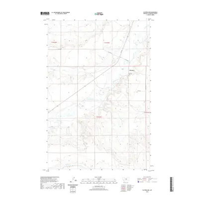 2020 Flatwillow2020 Print · USGSPetroleum County in the modern era remains a landscape of quiet ranching and deep family roots. Researchers can trace the layout of the Flatwillow community, find family names at Flatwillow Cem, and follow the courses of Pike Cr and Flatwillow Cr.
 - 2020 Map of Yellow Water Reservoir, 2020 Print
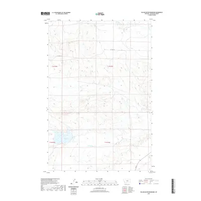 2020 Yellow Water Reservoir2020 Print · USGSPetroleum County ranching country is captured here in the contemporary era, centered on the high plains water network. Genealogists and land researchers can trace the path of Old Winnett Rd and the drainage of Yellow Water Reservoir.
 - 2020 Map of Hanson Flat, 2020 Print
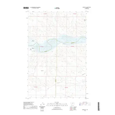 2020 Hanson Flat2020 Print · USGSCentering on the confluence of the Missouri and its vast reservoir, this modern survey documents the remote borderlands of Fergus, Phillips, and Petroleum counties. Trace historical routes like the Old Musselshell Trl and Wilder Trl through Hanson Flat.
 - 2020 Map of Kirkendal Flat, 2020 Print
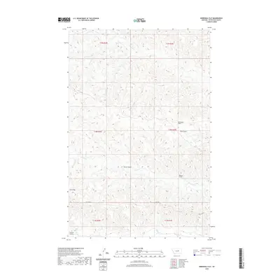 2020 Kirkendal Flat2020 Print · USGSPetroleum County's high plains are revealed in this recent survey, showing a landscape defined by seasonal creek beds and narrow ridges. Researchers can trace the rugged contours of Dunn Ridge and locate remote drainages like Swanson Coulee and Dovetail Cr.
 - 2020 Map of Chain Buttes, 2020 Print
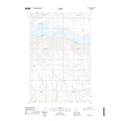 2020 Chain Buttes2020 Print · USGSCentral Montana's shoreline at Fort Peck Lake is captured in the modern era along the Petroleum County line. Trace the intricate system of drainages and landmarks including Chain Buttes, Carpenter Coulee, and the Headman Field Reservoir.
 - 2020 Map of Tin Can Hill, 2020 Print
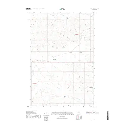 2020 Tin Can Hill2020 Print · USGSPetroleum County's ranching country is shown here in the early twenty-first century, a terrain defined by complex coulee systems and high plains. Genealogists and local historians can trace family-named landforms like Jackson Coulee and the vital water source at Kettle Spring.
 - 2020 Map of Dry Coulee, 2020 Print
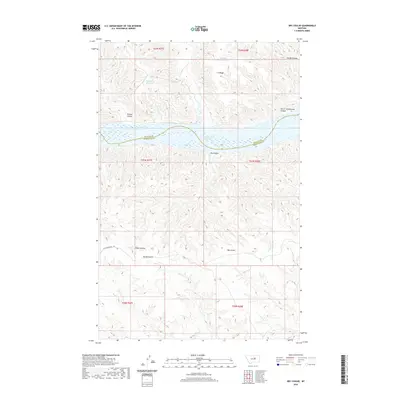 2020 Dry Coulee2020 Print · USGSPetroleum County and its northern neighbors appear here in the early twenty-first century, centered on the waters of Fort Peck Lake. Trace historic livestock routes and land use through the Old Musselshell Trl and family-named landmarks like Garrit Schoolhouse Coulee.
 - 2020 Map of Davis Spring, 2020 Print
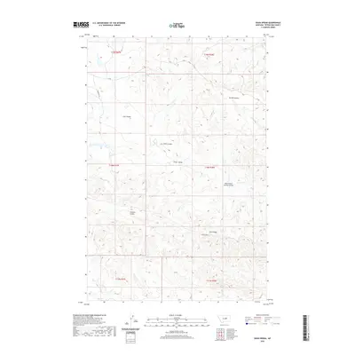 2020 Davis Spring2020 Print · USGSPetroleum County's rangeland and coulee systems are documented here in the early twenty-first century, showing the enduring drainage patterns of the Montana interior. Researchers can trace land use through features like Davis Spring, Dunn Ridge, and the distinctively named West School Section Coulee.
 - 2020 Map of Locke Ranch, 2020 Print
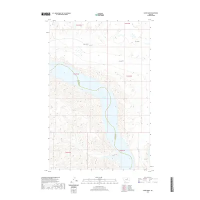 2020 Locke Ranch2020 Print · USGSPetroleum and Phillips counties meet here along the Missouri River breaks in 2020. Local historians and land researchers can trace the historic Musselshell Trl and identify the location of Locke Ranch near the waters of Fort Peck Lake.
Showing maps 1-25 of 92
Top cities of Petroleum County
Frequently asked questions
- What are the different types of historical maps available for Petroleum County?
- What is the oldest map of Petroleum County?
- Where can I purchase historical maps of Petroleum County for my home or office?
- Where can I download high-res historical maps of Petroleum County?
- Are there historical topographic maps available for Petroleum County?
- Is there historical aerial imagery available for Petroleum County?
- Where are historical maps of Petroleum County sourced from?