2020s Maps of Ravalli County, Montana
Explore 141 historic maps of Ravalli County from the 2020s. These maps offer a rare glimpse into what life looked like during the 2020s — showing old roads, neighborhoods, homes, and landmarks that have changed or disappeared over time.
Whether you're researching your family's past, planning a metal detecting trip, or studying how Ravalli County's landscape evolved across the 2020s, these high-resolution maps are a powerful tool for exploring the history of this region.
- Focus on a specific era: All maps on this page are from the 2020s, giving you a focused view of this time period.
- See what’s changed: Compare century-old streets, trails, and buildings to today's modern landscape using overlays and satellite layers.
- Research with precision: Use these maps for genealogy, historical research, land use analysis, or educational projects.
- View, download, or print: Maps are fully viewable online in high resolution, and can be downloaded or printed for your own records.
Start exploring Ravalli County's history through authentic maps from the 2020s. This is your window into the past.
Ravalli County, MT maps
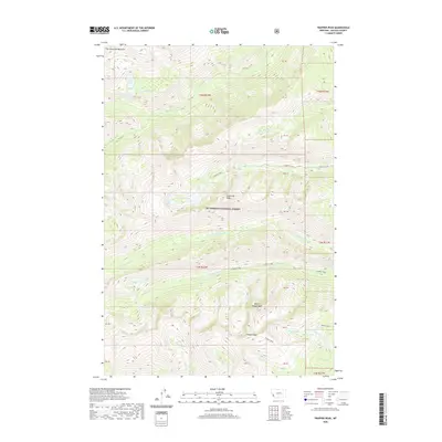
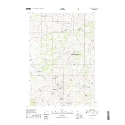
(141)- 2020 Map of Ranger Peak, 2020 Print
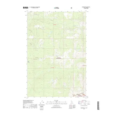 2020 Ranger Peak2020 Print · USGSCovers Ravalli County, including Idaho County, United States, and other nearby areas
 - 2020 Map of White Sand Lake, 2020 Print
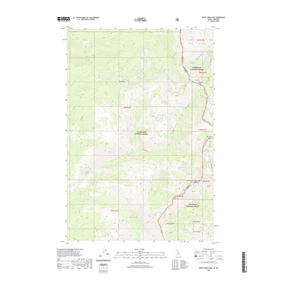 2020 White Sand Lake2020 Print · USGSCovers Ravalli County, including Idaho County, United States, and other nearby areas
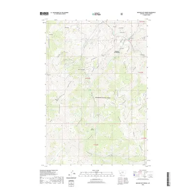
 - 2020 Map of Hunter Peak, 2020 Print
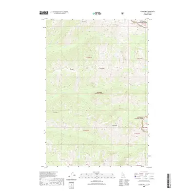 2020 Hunter Peak2020 Print · USGSCovers Ravalli County, including Idaho County, United States, and other nearby areas
 - 2020 Map of Saddle Mountain, 2020 Print
 2020 Saddle Mountain2020 Print · USGSCovers Ravalli County, including Idaho County, United States, and other nearby areas
 - 2020 Map of Blodgett Mountain, 2020 Print
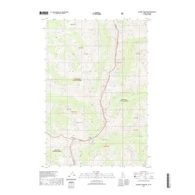 2020 Blodgett Mountain2020 Print · USGSCovers Ravalli County, including Idaho County, United States, and other nearby areas
 - 2020 Map of Shoup, 2020 Print
 2020 Shoup2020 Print · USGSCovers Ravalli County, including Lemhi County, United States, and other nearby areas
 - 2020 Map of Blue Joint, 2020 Print
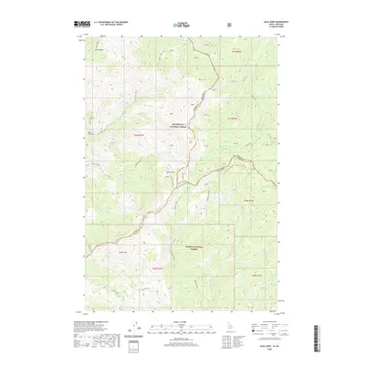 2020 Blue Joint2020 Print · USGSCovers Ravalli County, including Idaho County, Lemhi County, and other nearby areas
 - 2020 Map of Watchtower Peak, 2020 Print
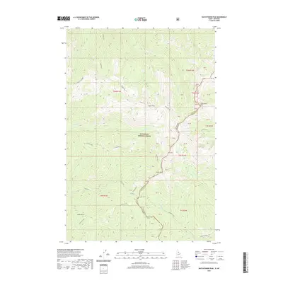 2020 Watchtower Peak2020 Print · USGSCovers Ravalli County, including Idaho County, United States, and other nearby areas
 - 2020 Map of Henderson Ridge, 2020 Print
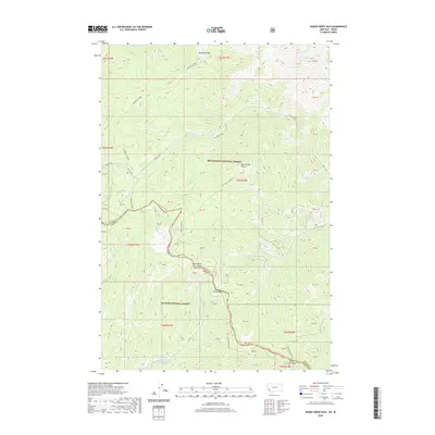
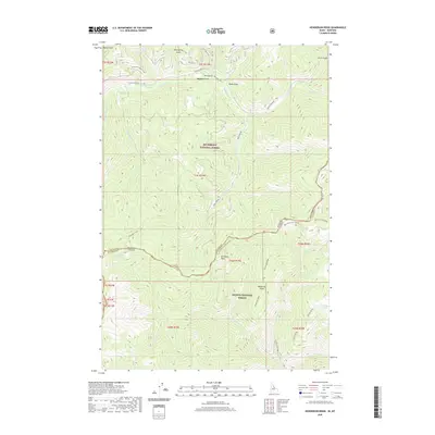 2020 Henderson Ridge2020 Print · USGSCovers Ravalli County, including Lemhi County, United States, and other nearby areas
 - 2020 Map of Nez Perce Peak, 2020 Print
 2020 Nez Perce Peak2020 Print · USGSCovers Ravalli County, including Idaho County, United States, and other nearby areas
 - 2020 Map of Tincup Hill, 2020 Print
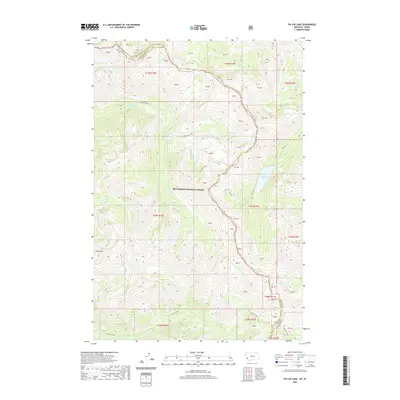
 2020 Tincup Hill2020 Print · USGSCovers Ravalli County, including Lemhi County, United States, and other nearby areas
 - 2020 Map of Allan Mountain, 2020 Print
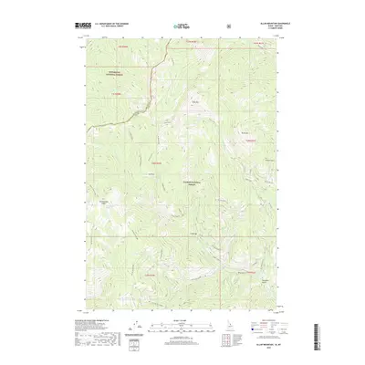 2020 Allan Mountain2020 Print · USGSCovers Ravalli County, including Lemhi County, United States, and other nearby areas
 - 2020 Map of Painted Rocks Lake, 2020 Print
 2020 Painted Rocks Lake2020 Print · USGSCovers Ravalli County, including United States, Montana, and other nearby areas
 - 2020 Map of Piquett Creek, 2020 Print
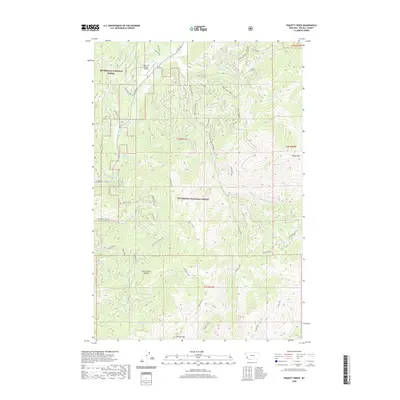 2020 Piquett Creek2020 Print · USGSCovers Ravalli County, including United States, Montana, and other nearby areas
 - 2020 Map of Burnt Ridge, 2020 Print
 2020 Burnt Ridge2020 Print · USGSCovers Ravalli County, including Peaks and Pines Park, United States, and other nearby areas
 - 2020 Map of Alta, 2020 Print
 2020 Alta2020 Print · USGSCovers Ravalli County, including Alta, Lemhi County, and other nearby areas
 - 2020 Map of Medicine Hot Springs, 2020 Print
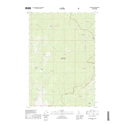
 2020 Medicine Hot Springs2020 Print · USGSCovers Ravalli County, including Medicine Hot Springs, United States, and other nearby areas
 - 2020 Map of Horse Creek Pass, 2020 Print
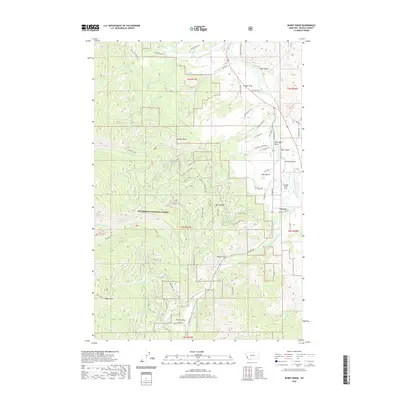
 2020 Horse Creek Pass2020 Print · USGSCovers Ravalli County, including Lemhi County, United States, and other nearby areas
 - 2020 Map of Overwhich Falls, 2020 Print
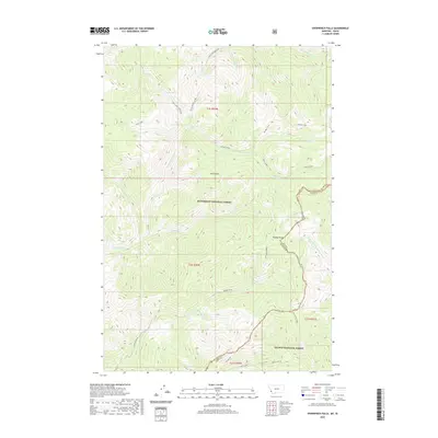 2020 Overwhich Falls2020 Print · USGSCovers Ravalli County, including Lemhi County, United States, and other nearby areas
 - 2020 Map of Trapper Peak, 2020 Print
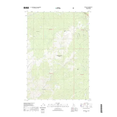
 2020 Trapper Peak2020 Print · USGSCovers Ravalli County, including United States, Montana, and other nearby areas
 - 2020 Map of Boulder Peak, 2020 Print
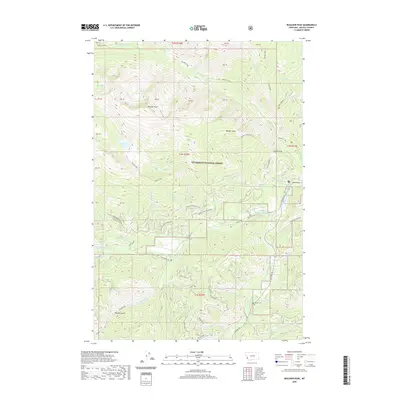 2020 Boulder Peak2020 Print · USGSCovers Ravalli County, including United States, Montana, and other nearby areas
 - 2020 Map of Piquett Mountain, 2020 Print
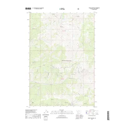 2020 Piquett Mountain2020 Print · USGSCovers Ravalli County, including United States, Montana, and other nearby areas
 - 2020 Map of Robbins Gulch, 2020 Print
 2020 Robbins Gulch2020 Print · USGSCovers Ravalli County, including Conner, Shigley Mobile Home Park, and other nearby areas
 - 2020 Map of Tin Cup Lake, 2020 Print
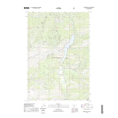
 2020 Tin Cup Lake2020 Print · USGSCovers Ravalli County, including Idaho County, United States, and other nearby areas
 - 2020 Map of Bare Cone, 2020 Print
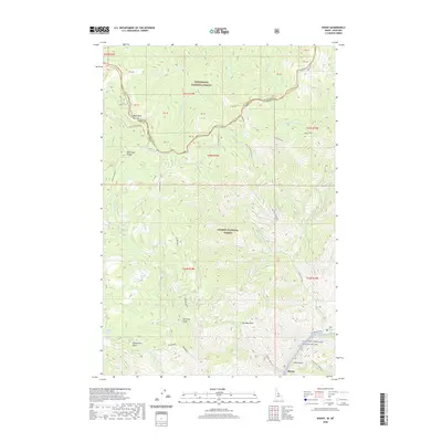
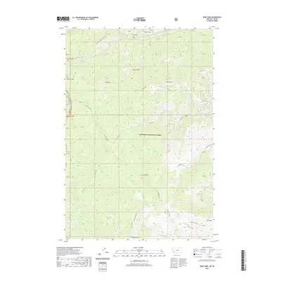 2020 Bare Cone2020 Print · USGSCovers Ravalli County, including Idaho County, United States, and other nearby areas
Showing maps 1-25 of 141
Top cities of Ravalli County
- Hamilton historical maps
- Stevensville historical maps
- Darby historical maps
- Pinesdale historical maps
- Victor historical maps
Frequently asked questions
- What are the different types of historical maps available for Ravalli County?
- What is the oldest map of Ravalli County?
- Where can I purchase historical maps of Ravalli County for my home or office?
- Where can I download high-res historical maps of Ravalli County?
- Are there historical topographic maps available for Ravalli County?
- Is there historical aerial imagery available for Ravalli County?
- Where are historical maps of Ravalli County sourced from?