2000s (21st Century) Maps of Ravalli County, Montana
Explore 348 historic maps of Ravalli County from the 2000s (21st Century). These maps offer a rare glimpse into what life looked like during the 2000s — showing old roads, neighborhoods, homes, and landmarks that have changed or disappeared over time.
Whether you're researching your family's past, planning a metal detecting trip, or studying how Ravalli County's landscape evolved across the 2000s, these high-resolution maps are a powerful tool for exploring the history of this region.
- Focus on a specific era: All maps on this page are from the 2000s, giving you a focused view of this time period.
- See what’s changed: Compare century-old streets, trails, and buildings to today's modern landscape using overlays and satellite layers.
- Research with precision: Use these maps for genealogy, historical research, land use analysis, or educational projects.
- View, download, or print: Maps are fully viewable online in high resolution, and can be downloaded or printed for your own records.
Start exploring Ravalli County's history through authentic maps from the 2000s. This is your window into the past.
Ravalli County, MT maps
(348)- 2011 Map of Sula, 2011 Print
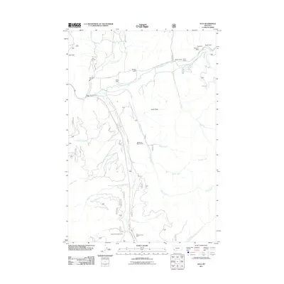 2011 Sula2011 Print · USGSCovers Ravalli County, including Sula, Beaverhead County, and other nearby areas
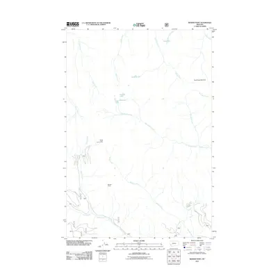
 - 2011 Map of Mussigbrod Lake, 2011 Print
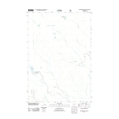 2011 Mussigbrod Lake2011 Print · USGSCovers Ravalli County, including Beaverhead County, United States, and other nearby areas
 - 2011 Map of French Basin, 2011 Print
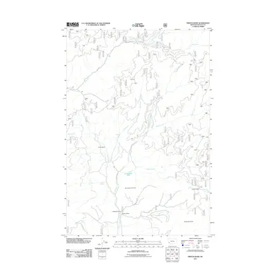 2011 French Basin2011 Print · USGSCovers Ravalli County, including United States, Montana, and other nearby areas
 - 2011 Map of Kelly Lake, 2011 Print
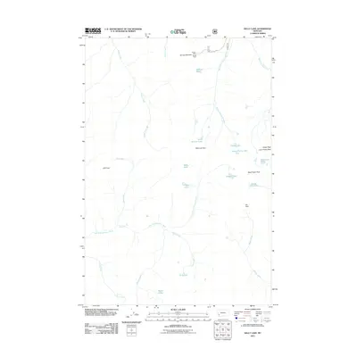 2011 Kelly Lake2011 Print · USGSCovers Ravalli County, including Beaverhead County, Deer Lodge County, and other nearby areas
 - 2011 Map of Lost Trail Pass, 2011 Print
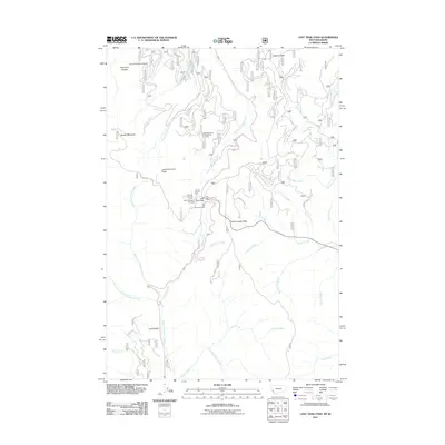 2011 Lost Trail Pass2011 Print · USGSCovers Ravalli County, including Beaverhead County, Lemhi County, and other nearby areas
 - 2011 Map of Bender Point, 2011 Print
 2011 Bender Point2011 Print · USGSCovers Ravalli County, including Beaverhead County, United States, and other nearby areas
 - 2011 Map of Lick Creek, 2011 Print
 2011 Lick Creek2011 Print · USGSCovers Ravalli County, including Granite County, United States, and other nearby areas
 - 2011 Map of Jennings Camp Creek, 2011 Print
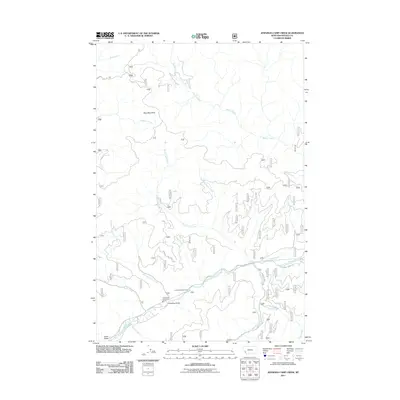 2011 Jennings Camp Creek2011 Print · USGSCovers Ravalli County, including United States, Montana, and other nearby areas
 - 2011 Map of Schultz Saddle, 2011 Print
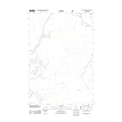
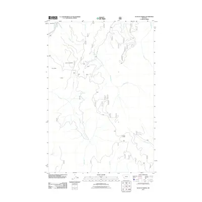 2011 Schultz Saddle2011 Print · USGSCovers Ravalli County, including Beaverhead County, United States, and other nearby areas
 - 2011 Map of Whetstone Ridge, 2011 Print
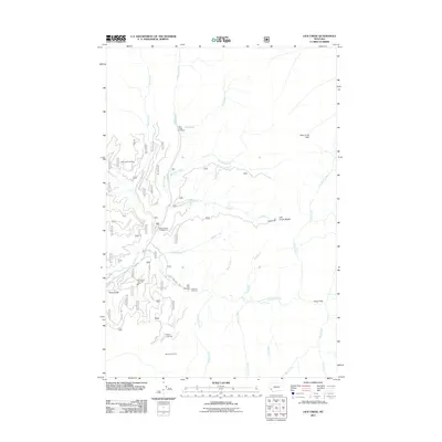
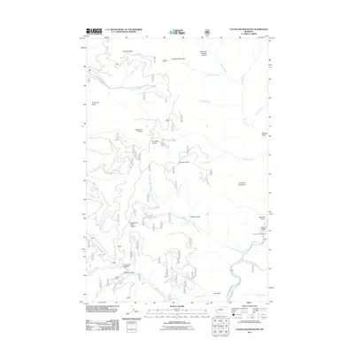
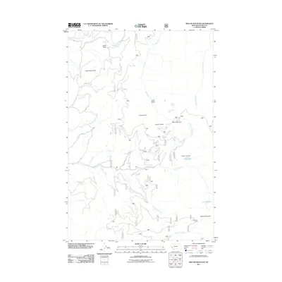
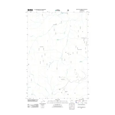 2011 Whetstone Ridge2011 Print · USGSCovers Ravalli County, including Granite County, United States, and other nearby areas
 - 2011 Map of Kent Peak, 2011 Print
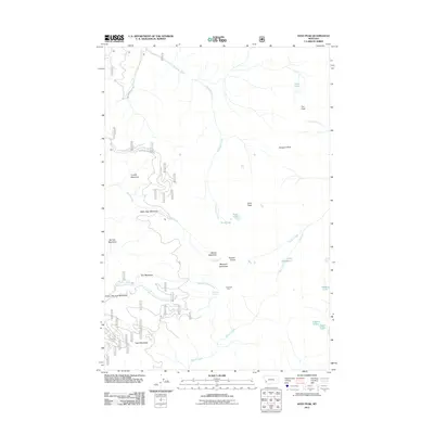 2011 Kent Peak2011 Print · USGSCovers Ravalli County, including Granite County, United States, and other nearby areas
 - 2011 Map of Corley Gulch, 2011 Print
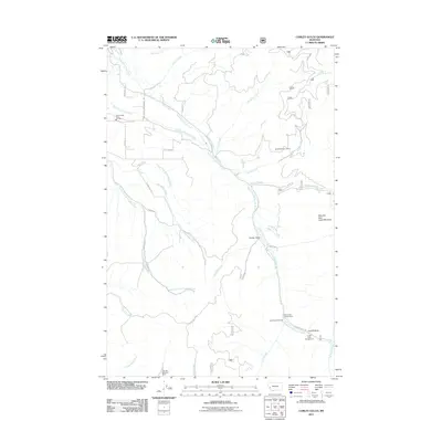 2011 Corley Gulch2011 Print · USGSCovers Ravalli County, including Granite County, United States, and other nearby areas
 - 2011 Map of Elk Mountain, 2011 Print
 2011 Elk Mountain2011 Print · USGSCovers Ravalli County, including Missoula County, Granite County, and other nearby areas
 - 2011 Map of Cleveland Mountain, 2011 Print
 2011 Cleveland Mountain2011 Print · USGSCovers Ravalli County, including Granite County, United States, and other nearby areas
 - 2011 Map of Davis Point, 2011 Print
 2011 Davis Point2011 Print · USGSCovers Ravalli County, including Missoula County, United States, and other nearby areas
 - 2011 Map of Willow Mountain, 2011 Print
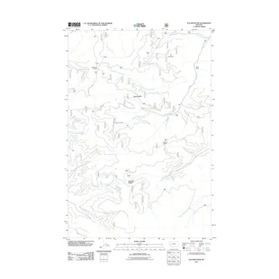
 2011 Willow Mountain2011 Print · USGSCovers Ravalli County, including United States, Montana, and other nearby areas
 - 2011 Map of Gird Point, 2011 Print
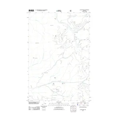
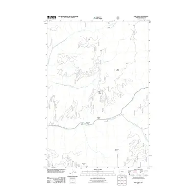 2011 Gird Point2011 Print · USGSCovers Ravalli County, including Gird Point, United States, and other nearby areas
 - 2011 Map of Skalkaho Pass, 2011 Print
 2011 Skalkaho Pass2011 Print · USGSCovers Ravalli County, including Granite County, United States, and other nearby areas
 - 2011 Map of Saint Joseph Peak, 2011 Print
 2011 Saint Joseph Peak2011 Print · USGSCovers Ravalli County, including Idaho County, United States, and other nearby areas
 - 2011 Map of El Capitan, 2011 Print
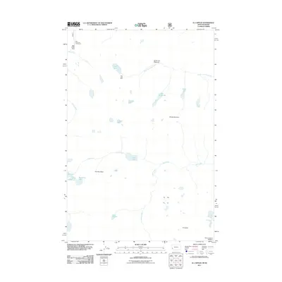 2011 El Capitan2011 Print · USGSCovers Ravalli County, including Idaho County, United States, and other nearby areas
 - 2011 Map of Hamilton North, 2011 Print
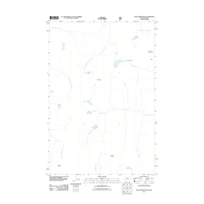
 2011 Hamilton North2011 Print · USGSCovers Ravalli County, including Hamilton, Pinesdale, and other nearby areas
 - 2011 Map of Saddle Mountain, 2011 Print
 2011 Saddle Mountain2011 Print · USGSCovers Ravalli County, including Idaho County, United States, and other nearby areas
 - 2011 Map of Tenmile Lake, 2011 Print
 2011 Tenmile Lake2011 Print · USGSCovers Ravalli County, including Idaho County, United States, and other nearby areas
 - 2011 Map of Como Peaks, 2011 Print
 2011 Como Peaks2011 Print · USGSCovers Ravalli County, including United States, Montana, and other nearby areas
 - 2011 Map of Gash Point, 2011 Print
 2011 Gash Point2011 Print · USGSCovers Ravalli County, including Idaho County, United States, and other nearby areas
Showing maps 1-25 of 348
Top cities of Ravalli County
- Hamilton historical maps
- Stevensville historical maps
- Darby historical maps
- Pinesdale historical maps
- Victor historical maps
Frequently asked questions
- What are the different types of historical maps available for Ravalli County?
- What is the oldest map of Ravalli County?
- Where can I purchase historical maps of Ravalli County for my home or office?
- Where can I download high-res historical maps of Ravalli County?
- Are there historical topographic maps available for Ravalli County?
- Is there historical aerial imagery available for Ravalli County?
- Where are historical maps of Ravalli County sourced from?