2020s Maps of Sanders County, Montana
Explore 170 historic maps of Sanders County from the 2020s. These maps offer a rare glimpse into what life looked like during the 2020s — showing old roads, neighborhoods, homes, and landmarks that have changed or disappeared over time.
Whether you're researching your family's past, planning a metal detecting trip, or studying how Sanders County's landscape evolved across the 2020s, these high-resolution maps are a powerful tool for exploring the history of this region.
- Focus on a specific era: All maps on this page are from the 2020s, giving you a focused view of this time period.
- See what’s changed: Compare century-old streets, trails, and buildings to today's modern landscape using overlays and satellite layers.
- Research with precision: Use these maps for genealogy, historical research, land use analysis, or educational projects.
- View, download, or print: Maps are fully viewable online in high resolution, and can be downloaded or printed for your own records.
Start exploring Sanders County's history through authentic maps from the 2020s. This is your window into the past.
Sanders County, MT maps
(170)- 2020 Map of Scotchman Peak, 2020 Print
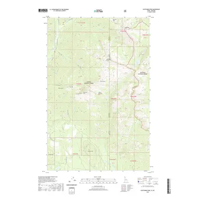 2020 Scotchman Peak2020 Print · USGSThe Idaho-Montana borderlands are showcased in the 2020s, highlighting the towering summits of the Cabinet Mountains. Researchers can trace old mining footprints at Regal Mine or explore the remote drainages of Lightning Creek and Little Spar Lake.
 - 2020 Map of Taylor Peak, 2020 Print
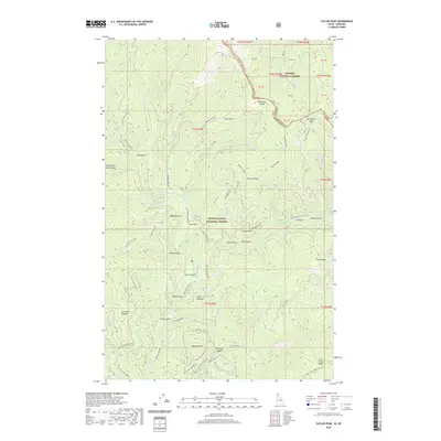 2020 Taylor Peak2020 Print · USGSThe high ridges of the Bitterroot Range along the Idaho-Montana border are shown here in the 2020s. Researchers can trace forest access routes and geographic landmarks like Taylor Peak, the Berlin Gulch settlement area, and Porcupine Pass.
 - 2020 Map of Burke, 2020 Print
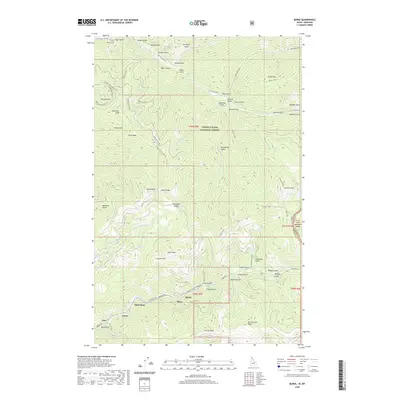 2020 Burke2020 Print · USGSThe Silver Valley mining corridor is captured here in the contemporary era, showing the enduring settlements along Canyon Creek. Researchers can trace the narrow valley floor communities of Burke, Mace, and Gem or locate the Murray Cemetery near the northern forest boundary.
 - 2020 Map of Murray, 2020 Print
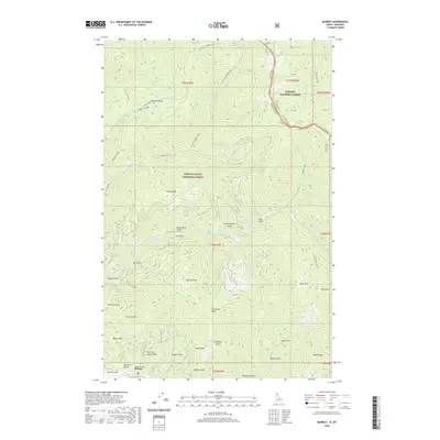 2020 Murray2020 Print · USGSThe remote mountain settlement of Murray is documented here as it appeared in the early twenty-first century. Researchers can trace the drainages and roads of this mining district, from Pennsylvania Gulch and Gold Run to the high elevations of Maple Peak.
 - 2020 Map of Jordan Creek, 2020 Print
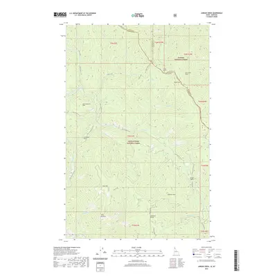 2020 Jordan Creek2020 Print · USGSThe Bitterroot mountain borderlands of northern Idaho and western Montana are documented here in the early twenty-first century. Genealogists and historians can trace high-altitude landmarks like Divide Peak, Jordan Springs, and the prominent Cathedral Rocks.
 - 2020 Map of Cabinet, 2020 Print
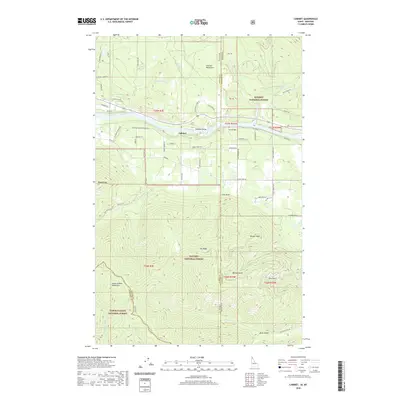 2020 Cabinet2020 Print · USGSThe Idaho-Montana border region near the Cabinet Mountains comes into sharp focus during the early twenty-first century. Genealogists and historians can trace routes like the Kootenai Cabinet Wagon Rd or locate Cabinet and the Cabinet Gorge.
 - 2020 Map of Penrose Peak, 2020 Print
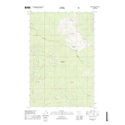 2020 Penrose Peak2020 Print · USGSThe high ridges of the Bitterroot Range come into focus in this recent survey of the Sanders and Mineral County line. Hikers and researchers can trace the crest of the C C Divide between Penrose Peak and Cherry Peak, or locate remote water sources like Acorn Lake and Breen Spr.
 - 2020 Map of Big Hole Peak, 2020 Print
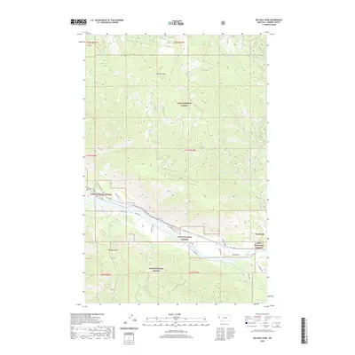 2020 Big Hole Peak2020 Print · USGSSanders County, Montana, remains a landscape of high timber peaks and river valleys as seen in this recent survey. Local historians and genealogists can trace the rural infrastructure near Weeksville and follow the Clark Fork past landmarks like Big Hole Peak and Poacher Gulch.
 - 2020 Map of Bloom Peak, 2020 Print
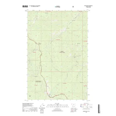 2020 Bloom Peak2020 Print · USGSThe Idaho-Montana borderlands are documented here in the early twenty-first century as the line crosses through the high Cabinet Mountains. Researchers can trace the rugged intersection of the Kaniksu National Forest near Bloom Peak and Ninetythree Mile Lake.
 - 2020 Map of Priscilla Peak, 2020 Print
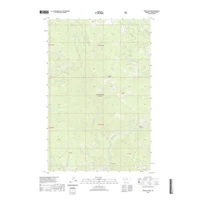 2020 Priscilla Peak2020 Print · USGSHigh in the Sanders County wilderness during the early twenty-first century, this landscape is defined by the peaks and drainages of the Lolo National Forest. Outdoor enthusiasts and historians can trace routes to Priscilla Peak, locate the secluded Honeymoon Lake, and follow the path of the Thompson River.
 - 2020 Map of Eddy Mountain, 2020 Print
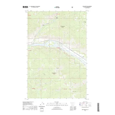 2020 Eddy Mountain2020 Print · USGSSanders County mountains and river valleys are captured here in the contemporary era. Researchers can trace the pathways near Snider and Eddy or locate remote high-country landmarks like Outlaw Lake, Quail Lake, and the summit of Eddy Mtn.
 - 2020 Map of Mount Headley, 2020 Print
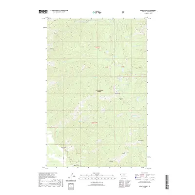 2020 Mount Headley2020 Print · USGSHigh in the Cabinet Mountains during the early twenty-first century, this map shows a remote wilderness of alpine lakes and peaks. Researchers can trace the drainages from Mt Headley down to Winniemuck Lake or locate high-country landmarks like Cube Iron Pass and Castle Rock.
 - 2020 Map of Vermilion Peak, 2020 Print
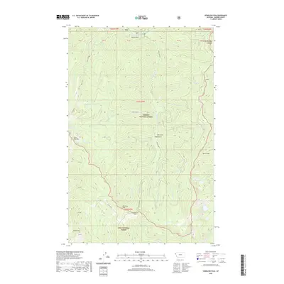 2020 Vermilion Peak2020 Print · USGSSanders County’s high ridgelines and alpine basins are captured in the 2020s, showing a landscape defined by the Lolo National Forest. Outdoor researchers and geologists can trace the high passes and remote waters like Vermilion Pass, Image Lake, and Slide Rock Mtn.
 - 2020 Map of Haugan, 2020 Print
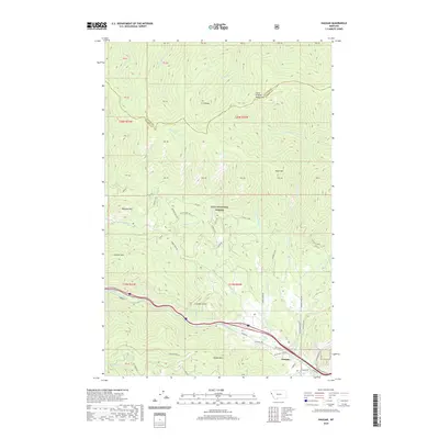 2020 Haugan2020 Print · USGSMineral County's mountain passes and river valleys are shown in detail during the early twenty-first century. Researchers can trace forest service history and local topography through landmarks like Haugan Mtn, the Saint Regis River, and Timber Creek Rd.
 - 2020 Map of Lonepine, 2020 Print
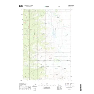 2020 Lonepine2020 Print · USGSLonepine and the surrounding Sanders County ranchlands are captured here in the modern era, showing the intricate Camas Canal irrigation network. Researchers can locate the Murray Memorial Cem and trace the eastern boundary of the Lolo National Forest.
 - 2020 Map of Hot Springs, 2020 Print
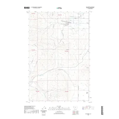 2020 Hot Springs2020 Print · USGSThe Sanders County town of Hot Springs and the surrounding Camas Prairie Basin are shown here in detail during the early twenty-first century. Genealogists and local historians can locate specific sites like Maillet Cem, Venting Cem, and the path of the Camas Canal.
 - 2020 Map of Loneman Creek, 2020 Print
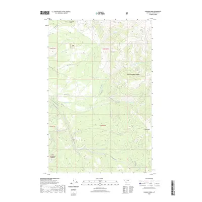 2020 Loneman Creek2020 Print · USGSSanders County’s high country is documented in the modern era as a landscape of forest management and river headwaters. Trace the historic paths of Old Co Rd and Company Rd as they wind through Sears Gulch toward the Corona Divide.
 - 2020 Map of Mill Pocket Creek, 2020 Print
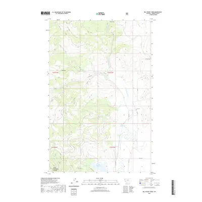 2020 Mill Pocket Creek2020 Print · USGSSanders County in the modern era is defined by the managed waters of the Little Bitterroot River and the eastern edge of the Lolo National Forest. Researchers can trace the layout of regional irrigation at the Upper Dry Fork Reservoir and locate family history at the McKay Cem.
 - 2020 Map of Coney Peak, 2020 Print
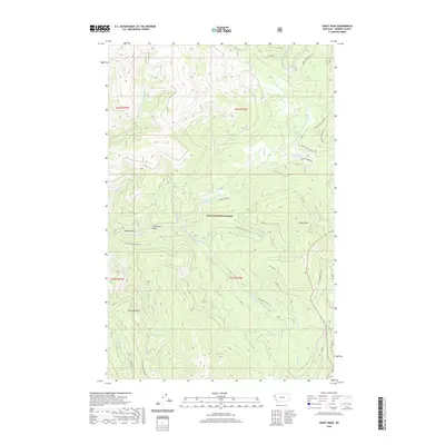 2020 Coney Peak2020 Print · USGSSanders County mountain terrain is captured here during the early twenty-first century as part of the Lolo National Forest. Researchers can trace the drainage of the Little Thompson River and locate landmarks like Coney Peak, Corona Lake, and Noble Gulch.
 - 2020 Map of McDonald, 2020 Print
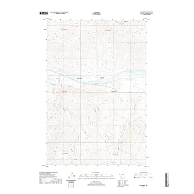 2020 McDonald2020 Print · USGSThe Flathead River valley near McDonald is documented here in the early twenty-first century, showing a landscape of steep ridges and managed waterways. Researchers can trace rural infrastructure from the Revais Canal to mountain access routes like W Magpie Creek Rd.
 - 2020 Map of Baldy Lake, 2020 Print
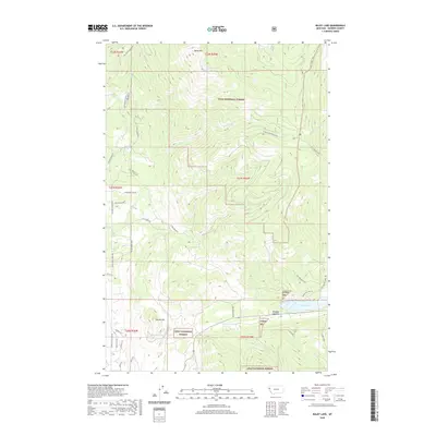 2020 Baldy Lake2020 Print · USGSThe foothills of the Cabinet Mountains are shown here in the 2020s, dominated by the timberlands of the Lolo National Forest. Local historians can trace the paths of Lone Man Divide Rd and Cedar Creek Rd to the heights of Baldy Mtn and Rainbow Lake Pass.
 - 2020 Map of Hot Springs NE, 2020 Print
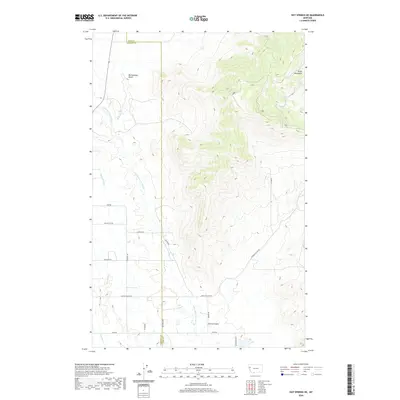 2020 Hot Springs NE2020 Print · USGSNorthwestern Montana at the turn of the decade showcases a landscape of high summits and managed water. Researchers can trace rural land divisions along Camp Aqua Rd or follow the path of the Camas B Canal near the Salish Mountains.
 - 2020 Map of Quinns Hot Springs, 2020 Print
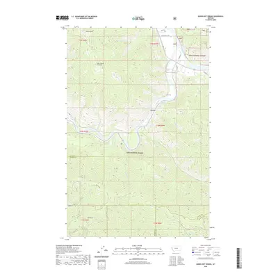 2020 Quinns Hot Springs2020 Print · USGSThe Clark Fork river valley and the peaks of the Coeur d'Alene Mountains define this portion of Sanders County in 2020. Local historians and explorers can trace the terrain around Quinns Hot Springs, the John Tunnel, and the remote Pardee Camp.
 - 2020 Map of Stark North, 2020 Print
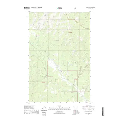 2020 Stark North2020 Print · USGSMissoula County is captured here in the early twenty-first century, showcasing the intersection of the Lolo National Forest and the settlement at Stark. Researchers can trace old timber and access routes like Nine Mile Rd and find remote features like Lost Lake.
 - 2020 Map of Niarada, 2020 Print
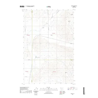 2020 Niarada2020 Print · USGSNorthwestern Montana’s mountain-valley boundary comes into focus in this contemporary survey of the Niarada area. Genealogists and historians can locate the Niarada Cem and trace rural routes through the Hog Heaven Range and the Big Draw.
Showing maps 1-25 of 170
Top cities of Sanders County
- Thompson Falls historical maps
- Plains historical maps
- Hot Springs historical maps
- Trout Creek historical maps
- Noxon historical maps
- Paradise historical maps
Frequently asked questions
- What are the different types of historical maps available for Sanders County?
- What is the oldest map of Sanders County?
- Where can I purchase historical maps of Sanders County for my home or office?
- Where can I download high-res historical maps of Sanders County?
- Are there historical topographic maps available for Sanders County?
- Is there historical aerial imagery available for Sanders County?
- Where are historical maps of Sanders County sourced from?