2000s (21st Century) Maps of Sanders County, Montana
Explore 425 historic maps of Sanders County from the 2000s (21st Century). These maps offer a rare glimpse into what life looked like during the 2000s — showing old roads, neighborhoods, homes, and landmarks that have changed or disappeared over time.
Whether you're researching your family's past, planning a metal detecting trip, or studying how Sanders County's landscape evolved across the 2000s, these high-resolution maps are a powerful tool for exploring the history of this region.
- Focus on a specific era: All maps on this page are from the 2000s, giving you a focused view of this time period.
- See what’s changed: Compare century-old streets, trails, and buildings to today's modern landscape using overlays and satellite layers.
- Research with precision: Use these maps for genealogy, historical research, land use analysis, or educational projects.
- View, download, or print: Maps are fully viewable online in high resolution, and can be downloaded or printed for your own records.
Start exploring Sanders County's history through authentic maps from the 2000s. This is your window into the past.
Sanders County, MT maps
(425)- 2011 Map of Sawtooth Mountain, 2011 Print
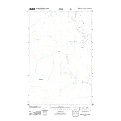 2011 Sawtooth Mountain2011 Print · USGSLincoln County’s high backcountry is detailed here in the early twenty-first century, showing a landscape of mining history and mountain summits. Researchers can locate the Stanley Creek Mine and recreation sites like Ross Creek Campground and Ross Creek Falls and Vista.
 - 2011 Map of Ibex Peak, 2011 Print
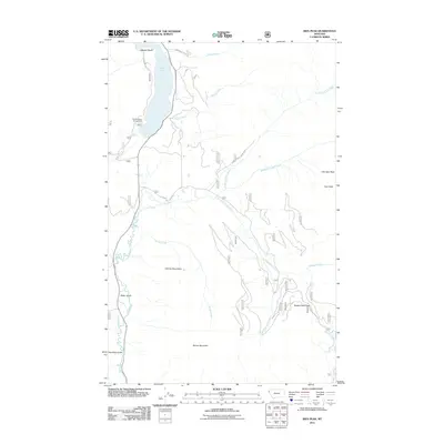 2011 Ibex Peak2011 Print · USGSLincoln County in the early twenty-first century remains defined by the towering Cabinet Mountains and the winding Bull River. Researchers can trace forest access routes and mountain landmarks like Snake Creek Pass, Ibex Peak, and the Bad Medicine Campground at Bull Lake.
 - 2011 Map of Treasure Mountain, 2011 Print
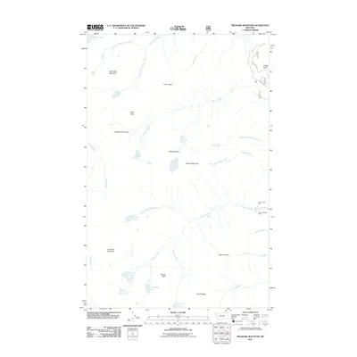 2011 Treasure Mountain2011 Print · USGSLincoln County’s high country is captured here during the early twenty-first century, showing a remote landscape of mining and alpine lakes. Genealogists and historians can locate the Victor-Empire Mine and Silver Mountain Mine or trace the drainages of Flower Creek and Granite Creek.
 - 2011 Map of Elephant Peak, 2011 Print
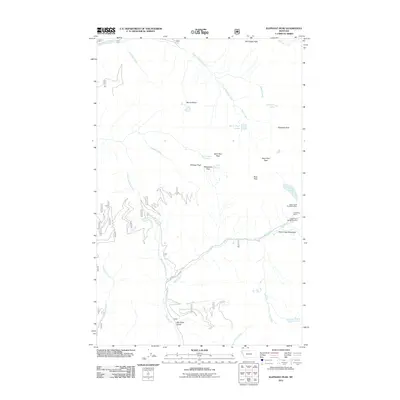 2011 Elephant Peak2011 Print · USGSHigh in the Montana mountains during the early twenty-first century, this area shows a landscape defined by mining history and steep alpine passes. Researchers can locate the Heidelberg Mine complex or trace travel routes through Milwaukee Pass and Saint Paul Pass.
 - 2011 Map of Loon Lake, 2011 Print
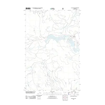 2011 Loon Lake2011 Print · USGSHappys Inn and the surrounding lakes of Lincoln County are captured here during a period of active forest management and recreation. Researchers can trace the road network to the Potter Mine, explore the shores of Upper Thompson Lake, or locate the Loon Lake Mine.
 - 2011 Map of Crowell Mountain, 2011 Print
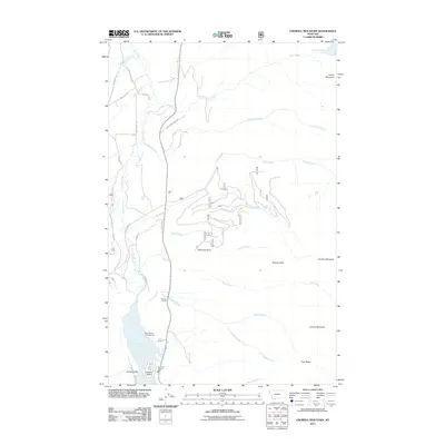 2011 Crowell Mountain2011 Print · USGSThe peaks and valleys of Lincoln County are captured here in the early 21st century, revealing a landscape shaped by mining access and mountain recreation. Researchers can trace the route of Asarco Mine Rd or locate community hubs like the Bull Lake Vol Fire Dept and the Dorr Skeels Campground near the shores of Bull Lake.
 - 2011 Map of Heron, 2011 Print
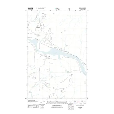 2011 Heron2011 Print · USGSHeron and the Cabinet Gorge Reservoir region of Sanders County are captured here during the early twenty-first century. Genealogists and historians can trace local landmarks like the Heron Cemetery or investigate the many mountain mining sites including the Lucky Star Mine and Blue Creek Mine.
 - 2011 Map of Howard Lake, 2011 Print
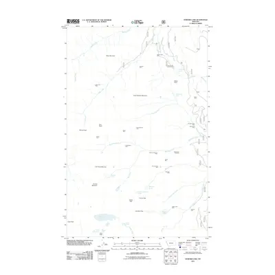 2011 Howard Lake2011 Print · USGSLincoln County in the early twenty-first century remains a landscape defined by its deep mining roots and alpine wilderness. Researchers can trace historic extraction sites like the Libby Creek Mine and Midas Mine alongside remote mountain waters such as Wanless Lake.
 - 2011 Map of Table Top Mountain, 2011 Print
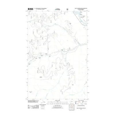 2011 Table Top Mountain2011 Print · USGSSanders County in the early twenty-first century reveals a rugged intersection of mountain wilderness and river recreation. Researchers can trace the winding paths of Clear Creek Rd or locate landmarks like Table Top Mountain and Noxon Reservoir.
 - 2011 Map of Seven Point Mountain, 2011 Print
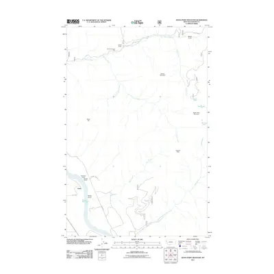 2011 Seven Point Mountain2011 Print · USGSSanders County as it appeared in the early twenty-first century shows a landscape of steep drainages and mountain peaks between the reservoir and the river. Genealogists and local historians can trace the roads around Childs or locate mining sites like the Gold King/Bonanza Mine.
 - 2011 Map of Lookout Pass, 2011 Print
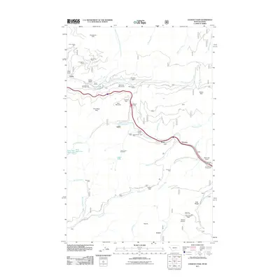 2011 Lookout Pass2011 Print · USGSThe Montana-Idaho border in the Bitterroot Mountains appears here as a complex network of mining and high-altitude transit. Trace the legacy of mountain engineering and extraction through the Saint Paul Pass Tunnel, the Snowstorm Mine, and the Old Yellowstone Trl.
 - 2011 Map of Burke, 2011 Print
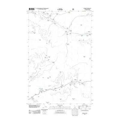 2011 Burke2011 Print · USGSShoshone County’s mining heart is on display here during the early twenty-first century, showcasing the tight-knit canyon settlements and mountain peaks. Researchers can locate dozens of historic shafts including the Hecla Mine and trace the road through Burke, Cornwall, and Gem.
 - 2011 Map of Mantrap Fork, 2011 Print
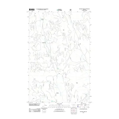 2011 Mantrap Fork2011 Print · USGSThe high meadows and mining prospects of Lincoln County are documented here in the early twenty-first century. Researchers can trace land use through features like the Sales Mine, the McGilla Gorilla Number 50 Dam, and the remote McGinnis Meadows.
 - 2011 Map of Gem Peak, 2011 Print
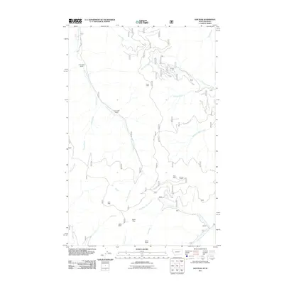 2011 Gem Peak2011 Print · USGSShoshone County, Idaho, and the Montana borderlands are documented in this 2011 survey during an era of modern forest management. Researchers can trace high-altitude landmarks and industrial sites like the Holliday Mine, Gem Peak Lookout, and Lost Cabin Gulch.
 - 2011 Map of Miller Lake, 2011 Print
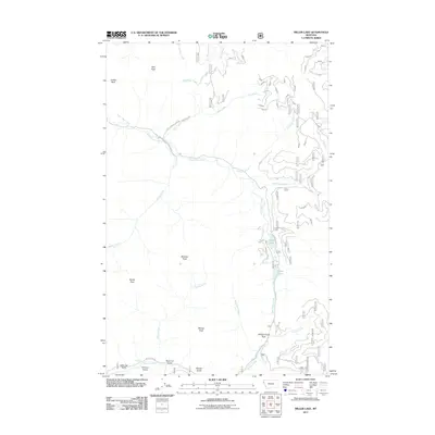 2011 Miller Lake2011 Print · USGSThe high Montana wilderness of the Cabinet Mountains is captured here in the early twenty-first century. Researchers can trace the drainages of East Fisher Creek and Himes Creek while locating landmarks like Miller Lake and Vermilion Falls.
 - 2011 Map of Big Hole Peak, 2011 Print
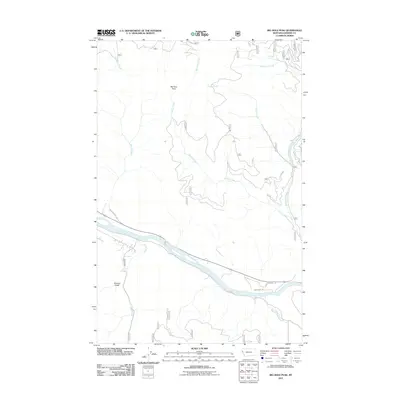 2011 Big Hole Peak2011 Print · USGSSanders County in the early twenty-first century is defined by the sweeping course of the river and the heights of the Bitterroot Mountains. Researchers can trace the drainages of Big Hole Peak and locate rural access along River Rd W and Munson Creek Rd.
 - 2011 Map of Richards Peak, 2011 Print
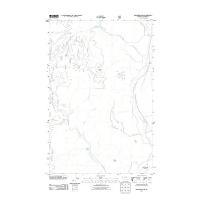 2011 Richards Peak2011 Print · USGSSanders County, Montana, is depicted here in the early 21st century as a landscape of high peaks and river-cut canyons. You can trace the connection between mountain industry and valley geography through features like the Maxi Mine, Richards Peak, and the long course of the Thompson River.
 - 2011 Map of Priscilla Peak, 2011 Print
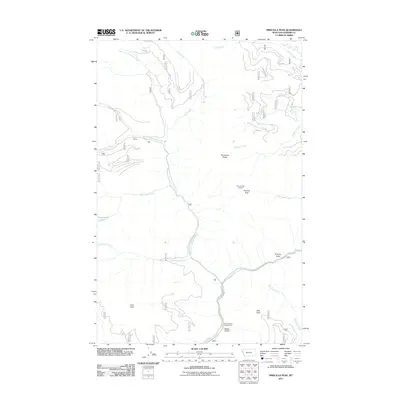 2011 Priscilla Peak2011 Print · USGSSanders County’s high ridges and river forks are captured here during the early twenty-first century. Researchers can trace forest access routes to landmarks like Priscilla Peak Lookout, Honeymoon Lake, and the Clark Memorial Campground.
 - 2011 Map of Mount Headley, 2011 Print
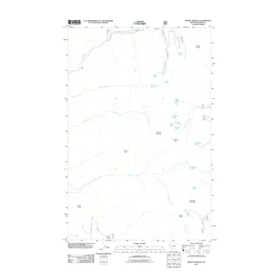 2011 Mount Headley2011 Print · USGSSanders County mountains are surveyed here in the early 2010s, showing a landscape of alpine lakes and significant peaks. Researchers can locate remote high-country features such as Cube Iron Pass, the waters of Goat Lakes, and the summit of Mount Headley.
 - 2011 Map of Thompson Falls, 2011 Print
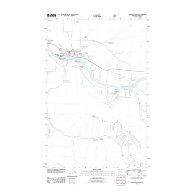 2011 Thompson Falls2011 Print · USGSThompson Falls and the Clark Fork valley are documented here in the early 2000s, showing the intersection of hydro-power and mountain settlement. Researchers can locate family sites at the Fraternal Cemetery or trace the development of Woodlin and the Thompson Falls Dam.
 - 2011 Map of Calico Creek, 2011 Print
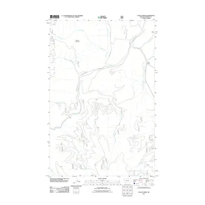 2011 Calico Creek2011 Print · USGSThe Thompson River corridor in Sanders County was a primary focus of this early twenty-first-century survey. Genealogists and researchers can trace local landmarks like Stobie Ranch, Big Spring, and the high slopes of Deerhorn Mountain.
 - 2011 Map of Vermilion Peak, 2011 Print
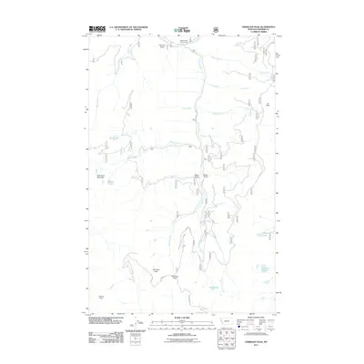 2011 Vermilion Peak2011 Print · USGSSanders County, Montana, is shown here during a period of modern wilderness management and recreational mapping. Researchers can trace the drainages of the Vermilion River and locate remote sites like Sylvan Lake and Willow Creek Campground.
 - 2011 Map of Goat Peak, 2011 Print
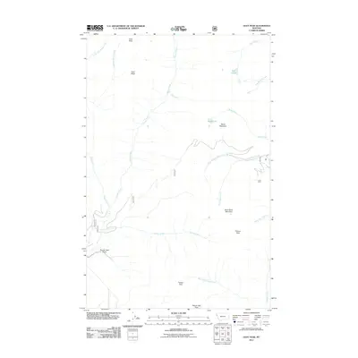 2011 Goat Peak2011 Print · USGSLincoln County’s high ridgelines and mining history are preserved in this early twenty-first-century survey of the Montana mountains. Researchers can trace the location of the King Mine and map the rugged drainages of Silver Butte Creek and Galena Creek.
 - 2011 Map of Silver Butte Pass, 2011 Print
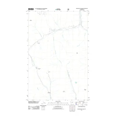 2011 Silver Butte Pass2011 Print · USGSLincoln County’s high mountain drainages and industrial history are charted here just after the turn of the millennium. Trace the forest road network to high-elevation sites like the Snowfall Mine, Viking Mine, and Silver Butte Pass.
 - 2011 Map of Sunset Peak, 2011 Print
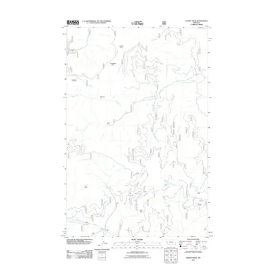 2011 Sunset Peak2011 Print · USGSSanders County in the early 2010s reveals a mountain landscape shaped by mining and forest management. Researchers can trace historic mineral sites like Miller Mine and Eddy Creek Mine alongside distinctive named routes like Dry Fork Rd and Seven Up.
Showing maps 1-25 of 425
Top cities of Sanders County
- Thompson Falls historical maps
- Plains historical maps
- Hot Springs historical maps
- Trout Creek historical maps
- Noxon historical maps
- Paradise historical maps
Frequently asked questions
- What are the different types of historical maps available for Sanders County?
- What is the oldest map of Sanders County?
- Where can I purchase historical maps of Sanders County for my home or office?
- Where can I download high-res historical maps of Sanders County?
- Are there historical topographic maps available for Sanders County?
- Is there historical aerial imagery available for Sanders County?
- Where are historical maps of Sanders County sourced from?