2020s Maps of Toole County, Montana
Explore 98 historic maps of Toole County from the 2020s. These maps offer a rare glimpse into what life looked like during the 2020s — showing old roads, neighborhoods, homes, and landmarks that have changed or disappeared over time.
Whether you're researching your family's past, planning a metal detecting trip, or studying how Toole County's landscape evolved across the 2020s, these high-resolution maps are a powerful tool for exploring the history of this region.
- Focus on a specific era: All maps on this page are from the 2020s, giving you a focused view of this time period.
- See what’s changed: Compare century-old streets, trails, and buildings to today's modern landscape using overlays and satellite layers.
- Research with precision: Use these maps for genealogy, historical research, land use analysis, or educational projects.
- View, download, or print: Maps are fully viewable online in high resolution, and can be downloaded or printed for your own records.
Start exploring Toole County's history through authentic maps from the 2020s. This is your window into the past.
Toole County, MT maps
(98)- 2020 Map of Oilmont, 2020 Print
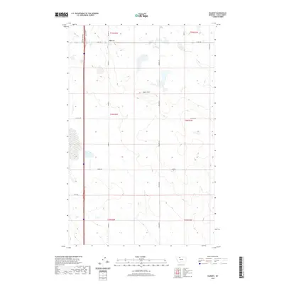 2020 Oilmont2020 Print · USGSThe northern high plains of Toole County are captured here in the early twenty-first century, centered on the settlement of Oilmont. Genealogists and local historians can trace family-named routes such as Benjamin Rd and Gus Blaze Rd near the landmark Raglan Butte.
 - 2020 Map of Ledger, 2020 Print
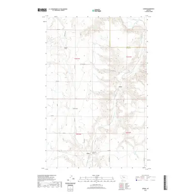 2020 Ledger2020 Print · USGSThe rural plains of Pondera County come into focus during the early 21st century, showing a landscape shaped by the Marias River and agricultural irrigation. Researchers can trace historic corridors like the Fort Conrad Trl and find local landmarks such as Ledger and Pearson Coulee.
 - 2020 Map of Naismith, 2020 Print
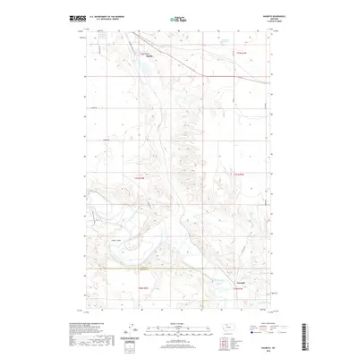 2020 Naismith2020 Print · USGSNorthern Montana's high plains meet the deep-cut valley of the Marias River in this recent survey. Researchers can trace rural developments and industrial sites like Shelby Sand and Gravel or local routes like Fretheim Rd.
 - 2020 Map of Fivemile Coulee West, 2020 Print
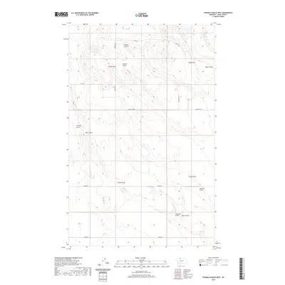 2020 Fivemile Coulee West2020 Print · USGSToole County is shown at the start of the 2020s, a landscape defined by its network of northern prairie drainages. Genealogists and local historians can trace the paths of Twomile Coulee, Fivemile Coulee, and Minnesota Coulee.
 - 2020 Map of Fivemile Coulee East, 2020 Print
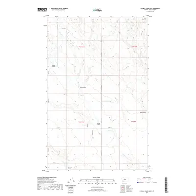 2020 Fivemile Coulee East2020 Print · USGSToole County's high plains are revealed in this modern survey, showing a landscape shaped by drainage channels and seasonal creeks. Researchers can trace the ranching-country road network and landforms like Fivemile Coulee, Sweet Grass Hills, and Willow Creek.
 - 2020 Map of Kevin North, 2020 Print
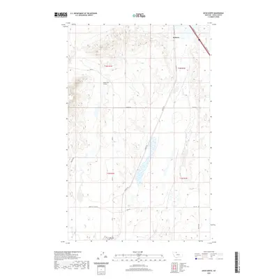 2020 Kevin North2020 Print · USGSNorthern Toole County remains a landscape of high-plains industry and transit in this modern survey. Genealogists and local historians can trace the town layouts of Sunburst and Kevin, along with rural landmarks like Alkali Flat Coulee and Hesla Rd.
 - 2020 Map of Willshaw Flats, 2020 Print
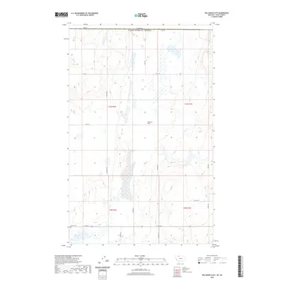 2020 Willshaw Flats2020 Print · USGSNorthern Montana's borderlands are mapped here in the modern era, showing the intersection of ranching life and the international boundary. Genealogists and local historians can trace the grid of rural roads and find significant markers like Sunburst Cem and Willshaw Flats.
 - 2020 Map of Fey Lakes, 2020 Print
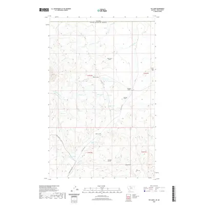 2020 Fey Lakes2020 Print · USGSToole County's high plains near the Canadian border are captured here in a period of quiet ranching and remote land use. Trace family connections and old property lines via Gold Butte and the isolated Ruby Johnson Lake or Moltz Lake.
 - 2020 Map of Conrad Butte, 2020 Print
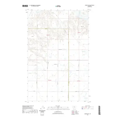 2020 Conrad Butte2020 Print · USGSPondera and Toole counties are mapped here at the start of the 2020s, showing a landscape defined by the Marias River and historic transit. You can trace the path of the Whoop Up Trl and locate local landmarks like Conrad Butte and the Jim Judisch Reservoir.
 - 2020 Map of Denson Ranch, 2020 Print
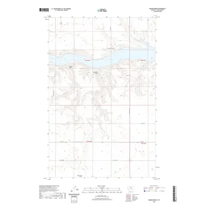 2020 Denson Ranch2020 Print · USGSToole County ranching country meets the sprawling waters of the Marias River valley in this modern survey of the high plains. Map collectors and local historians can trace the paths of Dead Indian Rd and Union School Rd toward the Denson Ranch and the winding shores of Lake Elwell.
 - 2020 Map of Whitlash, 2020 Print
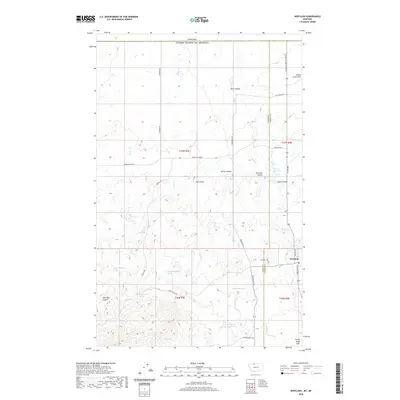 2020 Whitlash2020 Print · USGSWhitlash and the surrounding northern Montana plains are documented here in 2020 near the border with Canada. Researchers can trace local landmarks like Whitlash Cemetery, the post office, and family-named routes such as Morris Ranch Road.
 - 2020 Map of Knees NE, 2020 Print
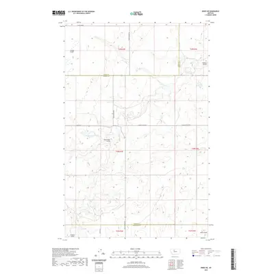 2020 Knees NE2020 Print · USGSThe high plains at the meeting of Chouteau, Liberty, and Toole counties are captured here in the early twenty-first century. Researchers can trace historic routes like Bootlegger Trl and find local landmarks such as St Olaf Church and Hollandsworth Reservoir.
 - 2020 Map of Fowler Coulee NW, 2020 Print
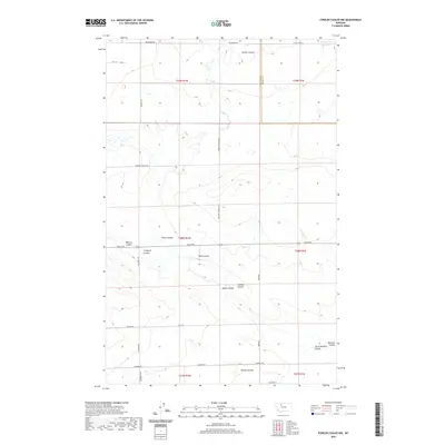 2020 Fowler Coulee NW2020 Print · USGSPondera County at the start of the 2020s remains a landscape of high plains and deep drainages. Researchers can trace the winding paths of Fowler Coulee and Berens Coulee or locate historic rural landmarks like St Olaf Church.
 - 2020 Map of Sunburst, 2020 Print
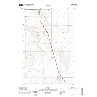 2020 Sunburst2020 Print · USGSNorthern Montana at the edge of the Canadian border reveals a landscape of high plains and strategic transport. Trace the settlement of Sunburst and Sweet Grass alongside landmarks like Ross International Airport and the distinct Jerusalem Rocks.
 - 2020 Map of Shelby, 2020 Print
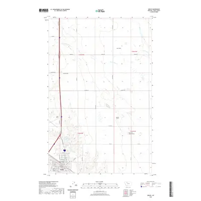 2020 Shelby2020 Print · USGSShelby remains the vital heart of Toole County in this modern survey, showing a town defined by its northern plains geography and rail roots. Genealogists and local historians can trace the town grid out to Mountain View Cem and follow the branching paths of Mead Coulee and Dunkirk Coulee.
 - 2020 Map of West Butte, 2020 Print
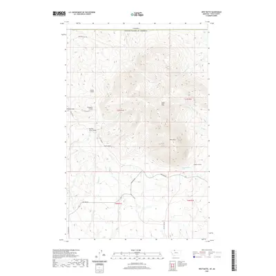 2020 West Butte2020 Print · USGSThe northern Montana borderlands meet the high peaks of the Sweet Grass Hills in this modern topographical study. Researchers can trace remote routes like Coal Mine Rd and explore landmarks like West Butte and Kicking Horse Canyon.
 - 2020 Map of Cactus Flat, 2020 Print
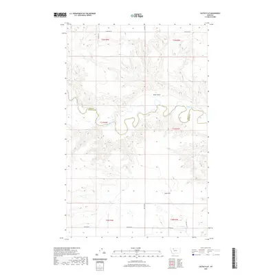 2020 Cactus Flat2020 Print · USGSPondera County at the turn of the twenty-first century reveals a landscape shaped by water rights and ranching. Trace the path of the Marias River along the county line or locate local landmarks like Millar Coulee and Cactus Flat.
 - 2020 Map of Cameron Lake, 2020 Print
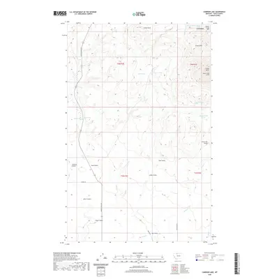 2020 Cameron Lake2020 Print · USGSToole County's north country is captured here in 2020, showing a landscape of high buttes and complex coulees at the edge of the Sweet Grass Hills. Genealogists and local historians can trace legacy landmarks like Eide Ranch Rd and Eide School Rd or locate remote water sources such as Wood Spring.
 - 2020 Map of Johannson Coulee, 2020 Print
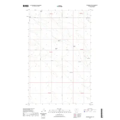 2020 Johannson Coulee2020 Print · USGSToole County's high plains are revealed in the early twenty-first century, showing a vast agricultural landscape etched by deep coulees. Genealogists and local historians can trace family land via named routes like Johannsen Rd and Telstad Rd while locating landmarks like Black Butte.
 - 2020 Map of Ledger NW, 2020 Print
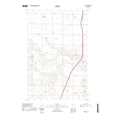 2020 Ledger NW2020 Print · USGSThe high plains of Toole County meet the winding Marias River in this recent survey of the area south of Shelby. Genealogists and historians can trace land use through family-named roads and water features like Hjartarson Rd, Ed McIntyre Reservoir, and Pearson Coulee.
 - 2020 Map of Devon, 2020 Print
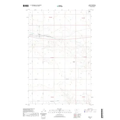 2020 Devon2020 Print · USGSIn this northern Montana landscape, the settlement of Devon is surrounded by a network of drainage coulees. Genealogists and local historians can trace family land ties along rural routes like Appley Rd and Peterson Rd near Coyote Coulee.
 - 2020 Map of Virden, 2020 Print
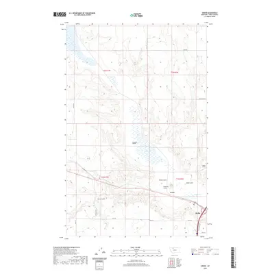 2020 Virden2020 Print · USGSToole County's prairie landscape comes into focus in this recent survey of the area around Shelby. Local researchers can trace the vicinity of Virden and locate regional landmarks like the Valley View Cem, Shelby Airport, and Aloe Lake.
 - 2020 Map of Dunkirk, 2020 Print
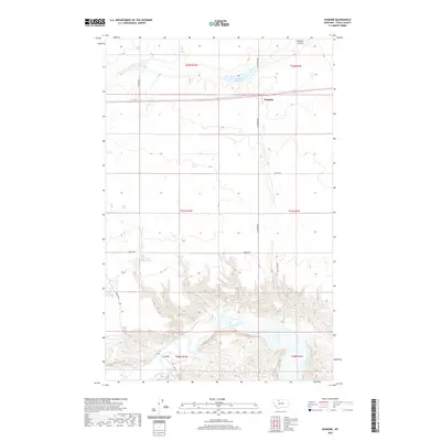 2020 Dunkirk2020 Print · USGSDunkirk and the surrounding Toole County prairie are seen here in the modern era, where agricultural plateaus meet the deep breaks of the Marias River. Researchers can trace local landmarks like the Dunkirk Reservoir, Wilson Reservoir, and the F Bridge river crossing.
 - 2020 Map of Boru Spring, 2020 Print
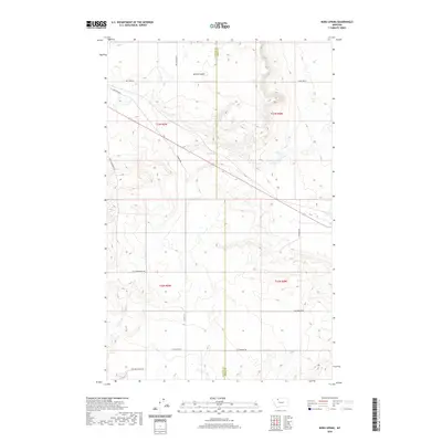 2020 Boru Spring2020 Print · USGSGlacier County ranching and resource lands are documented here in the early twenty-first century. Researchers can trace family-named routes and landmarks such as Hjartarson Rd, Longcake Rd, and the namesake Boru Spring.
 - 2020 Map of Fowler Coulee NE, 2020 Print
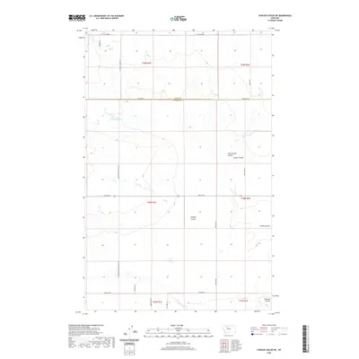 2020 Fowler Coulee NE2020 Print · USGSAcross the northern Montana plains in the 2020s, this area reflects a deep-rooted agricultural and spiritual heritage. Researchers can locate St Olaf Church and trace family-named routes like SOLLID RD and CHRISTENSON SCHOOL RD N.
Showing maps 1-25 of 98
Top cities of Toole County
Frequently asked questions
- What are the different types of historical maps available for Toole County?
- What is the oldest map of Toole County?
- Where can I purchase historical maps of Toole County for my home or office?
- Where can I download high-res historical maps of Toole County?
- Are there historical topographic maps available for Toole County?
- Is there historical aerial imagery available for Toole County?
- Where are historical maps of Toole County sourced from?