2010s Maps of Toole County, Montana
Explore 147 historic maps of Toole County from the 2010s. These maps offer a rare glimpse into what life looked like during the 2010s — showing old roads, neighborhoods, homes, and landmarks that have changed or disappeared over time.
Whether you're researching your family's past, planning a metal detecting trip, or studying how Toole County's landscape evolved across the 2010s, these high-resolution maps are a powerful tool for exploring the history of this region.
- Focus on a specific era: All maps on this page are from the 2010s, giving you a focused view of this time period.
- See what’s changed: Compare century-old streets, trails, and buildings to today's modern landscape using overlays and satellite layers.
- Research with precision: Use these maps for genealogy, historical research, land use analysis, or educational projects.
- View, download, or print: Maps are fully viewable online in high resolution, and can be downloaded or printed for your own records.
Start exploring Toole County's history through authentic maps from the 2010s. This is your window into the past.
Toole County, MT maps
(147)- 2011 Map of Glacier Colony, 2011 Print
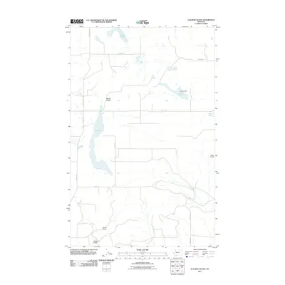 2011 Glacier Colony2011 Print · USGSGlacier County's agricultural high plains are captured here in the early twenty-first century, centered on the communal life of the Glacier Colony. Genealogists and local historians can trace the local road network and water features like Long Lake Dam and Old Maid Coulee.
 - 2011 Map of Fitzpatrick Lake, 2011 Print
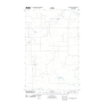 2011 Fitzpatrick Lake2011 Print · USGSGlacier County's high plains and energy corridors are captured here just after the turn of the millennium. Researchers can trace the industrial footprint of the Red Creek Oil Field and locate water landmarks like Fitzpatrick Lake and the Ramcharger Dam.
 - 2011 Map of Hillside Colony, 2011 Print
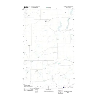 2011 Hillside Colony2011 Print · USGSToole County near the Canadian border is shown here as it appeared in the early 21st century, dominated by communal agricultural settlements and prairie coulees. Researchers can trace the local water infrastructure through Hillside Colony Dam, Looney Tuney Dam, and the Rim Rock Colony settlement.
 - 2011 Map of Ethridge, 2011 Print
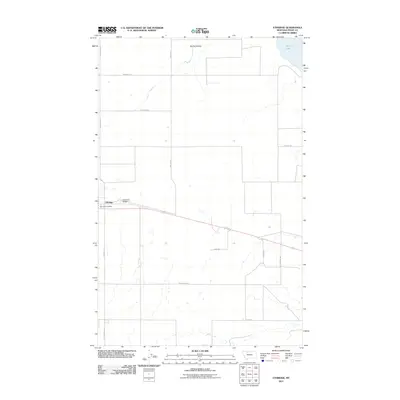 2011 Ethridge2011 Print · USGSThe northern Montana plains near Ethridge come into focus during the early twenty-first century, showing a landscape defined by industrial agriculture. Genealogists and local historians can trace family landholdings via Hallenberg Rd and Skryja Rd near the Ethridge Post Office.
 - 2011 Map of Aloe, 2011 Print
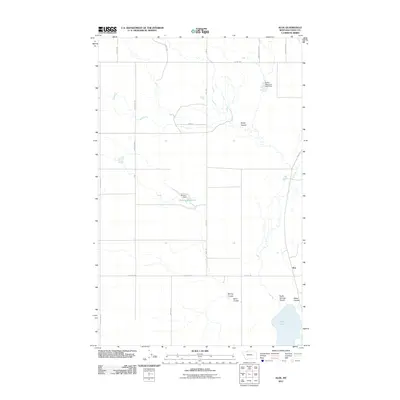 2011 Aloe2011 Print · USGSThe high plains of Toole County are captured here in the early twenty-first century, showing a landscape shaped by ranching and water management. Researchers can trace the rural road network and drainage basins including Aloe Lake, Aloe, and the McLean Reservoir.
 - 2011 Map of Ethridge NW, 2011 Print
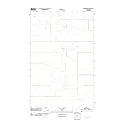 2011 Ethridge NW2011 Print · USGSGlacier County's agricultural expanse is captured here in the early twenty-first century, showing the intersection of modern transit and local family history. Genealogists can trace property boundaries and homestead locations via Dahlquist Rd, Nepstad Rd, and Old Maid Coulee.
 - 2011 Map of Abbott Lake, 2011 Print
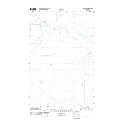 2011 Abbott Lake2011 Print · USGSGlacier County ranchlands are captured here in the early twenty-first century, centered on the confluence where the Marias River begins. Genealogists and local historians can locate Wilkins Ranch, the namesake Abbott Lake, and infrastructure like Sullivan Bridge.
 - 2011 Map of Dunkirk, 2011 Print
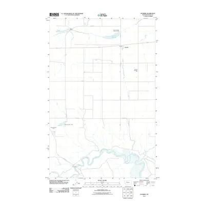 2011 Dunkirk2011 Print · USGSToole County's agricultural heartland is documented here in the early twenty-first century as irrigation networks support the high plains. Genealogists and researchers can trace local infrastructure through the Marias River valley and landmarks like Dunkirk, F Bridge, and the Melcott Reservoir.
 - 2011 Map of Denson Ranch, 2011 Print
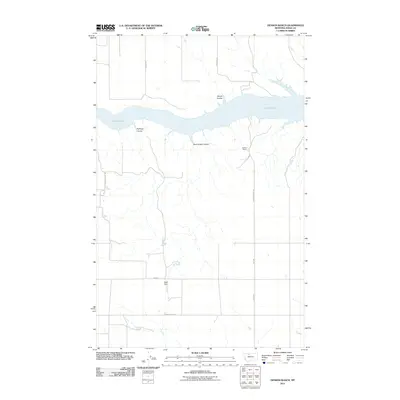 2011 Denson Ranch2011 Print · USGSToole County ranching country is documented here in the early twenty-first century, centered on the expansive waters of Lake Elwell. Researchers can trace remote homesteads and landmarks like Denson Ranch, Algol Dam, and the winding Marsh Coulee.
 - 2011 Map of Naismith, 2011 Print
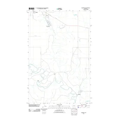 2011 Naismith2011 Print · USGSToole County ranchlands and the river valley are captured here in the early twenty-first century. Researchers can trace the meandering Marias River as it passes near Naismith or locate local landmarks like the Underdal Ranch and Marias Fairground.
 - 2011 Map of South Devon School, 2011 Print
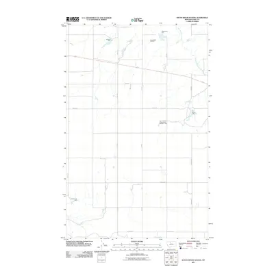 2011 South Devon School2011 Print · USGSToole County ranchlands are captured here in the early twenty-first century, showing the intricate water systems required for high-plains agriculture. You can trace family-named landmarks and infrastructure such as the Bar Z F Ranch Incorporated Number 1 Dam, Westermark Dam, and Three Dollar Bill Dam.
 - 2011 Map of Fey Lakes, 2011 Print
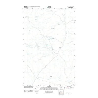 2011 Fey Lakes2011 Print · USGSToole County ranchlands meet the Canadian border in this modern-era survey of the Montana high plains. Researchers can locate family landmarks like the A Fey Ranch and J Fey Ranch or trace the history of the Gold Butte Mine and Gold Butte Cemetery.
 - 2011 Map of Pondera School, 2011 Print
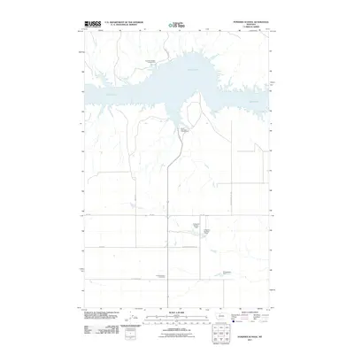 2011 Pondera School2011 Print · USGSLiberty County's high plains meet the shores of the Marias River reservoir in this early twenty-first-century survey. Researchers can trace the footprint of the Pondera School and explore the rugged coast of Lake Elwell near Bootlegger Trl.
 - 2011 Map of Ledger, 2011 Print
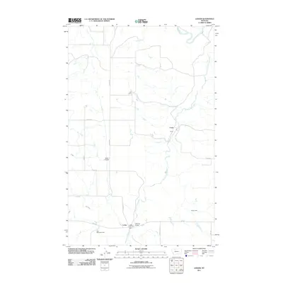 2011 Ledger2011 Print · USGSThe Ledger area of Pondera County was a critical node for Montana agriculture and rail transport in the early twenty-first century. Researchers can trace rural post offices and ranch boundaries near Keil Ranch and Ledger Post Office along the Dry Fork Marias River.
 - 2011 Map of McCarters Lake, 2011 Print
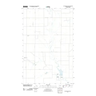 2011 McCarters Lake2011 Print · USGSToole County's high plains are captured here in the early 21st century, showing a landscape defined by water engineering and energy extraction. Researchers can trace family-named landmarks and infrastructure like the Devon Gas Field, McCarter Lake, and Hellinger Landing Strip.
 - 2011 Map of Central School, 2011 Print
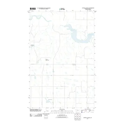 2011 Central School2011 Print · USGSToole County ranching and water management take center stage in this early twenty-first-century survey of northern Montana. Genealogists and local historians can locate Omholt Cemetery and trace the development of rural lifelines like Union School Rd and D Ratzburg Reservoir.
 - 2011 Map of West Butte, 2011 Print
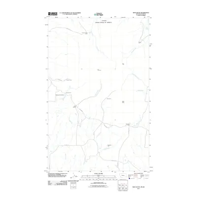 2011 West Butte2011 Print · USGSThe Montana-Alberta border country comes into focus in this recent survey of the Sweetgrass Hills region. Researchers can trace the placement of active and historical operations like the McDermott Mine and family holdings such as the Roscoe Ranch and West Butte Ranch.
 - 2011 Map of Berkholder Reservoir, 2011 Print
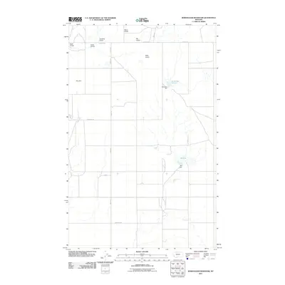 2011 Berkholder Reservoir2011 Print · USGSLiberty County in the early twenty-first century remains a landscape of managed water and rural homesteads. Genealogists and local historians can trace the foundations of this ranching community through the locations of the Hawthorne School and Blair Ranch.
 - 2011 Map of Johannson Coulee, 2011 Print
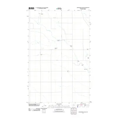 2011 Johannson Coulee2011 Print · USGSToole County ranching country is mapped here in the early twenty-first century, showing the wide-open landscape between the coulees. Genealogists and local historians can locate family landmarks like Johannson Ranch and geographic features such as Black Butte or Kippen.
 - 2011 Map of Conrad Butte, 2011 Print
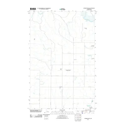 2011 Conrad Butte2011 Print · USGSThe ranching and water-management landscape of Pondera County is preserved here in the early twenty-first century. Family and ranch history can be traced through sites like Jim Judisch Reservoir, the Whoop-Up Trl, and the McCracken Brothers Dam.
 - 2011 Map of Hawthorne School, 2011 Print
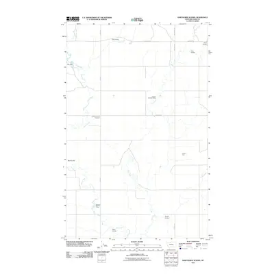 2011 Hawthorne School2011 Print · USGSToole County ranching country is documented here during the early twenty-first century, showing the persistent rural grid and water management of northern Montana. Researchers can locate the site of Hawthorne School and trace drainages like Eide Coulee and Sheep Creek.
 - 2011 Map of Virden, 2011 Print
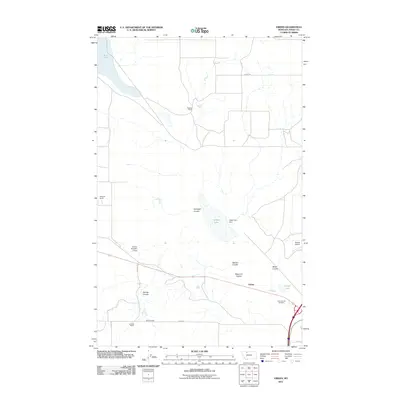 2011 Virden2011 Print · USGSToole County ranching and water management are front and center in this Montana survey from the early twenty-first century. Researchers can trace family legacies at Roberts Ranch and Dumas Ranch or locate burials at the Toole County Cemetery near Virden.
 - 2011 Map of Cameron Lake, 2011 Print
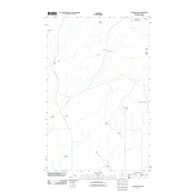 2011 Cameron Lake2011 Print · USGSToole County ranching and mining lands appear here in the early twenty-first century, centered on the high ground of the Sweet Grass Hills. Researchers can trace the heritage of local operations like the Gold Butte Mine, Old Berthelote Ranch, and Scalese Ranch.
 - 2011 Map of Knees NE, 2011 Print
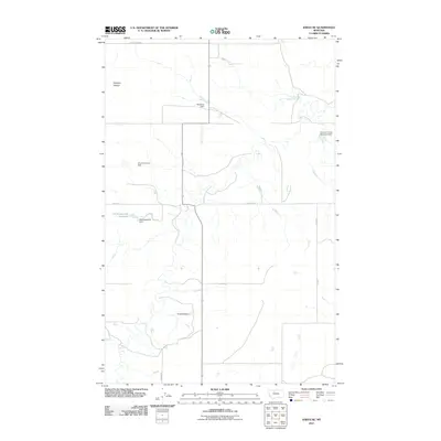 2011 Knees NE2011 Print · USGSThe Montana prairie of Chouteau County is captured here in the early twenty-first century, showing a landscape shaped by water management. You can locate family landmarks like St Olaf Church and curiously named water works such as Kneeded Dam or Gladiolus Dam.
 - 2011 Map of Shelby, 2011 Print
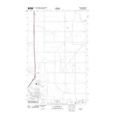 2011 Shelby2011 Print · USGSShelby and the surrounding Montana high plains are captured here in the early twenty-first century, showcasing the intersection of railroad history and modern infrastructure. You can trace the town grid and local landmarks like the Shelby Cemetery, the Great Northern Railway Overpass, and Lake Shel-oole.
Showing maps 1-25 of 147
Top cities of Toole County
Frequently asked questions
- What are the different types of historical maps available for Toole County?
- What is the oldest map of Toole County?
- Where can I purchase historical maps of Toole County for my home or office?
- Where can I download high-res historical maps of Toole County?
- Are there historical topographic maps available for Toole County?
- Is there historical aerial imagery available for Toole County?
- Where are historical maps of Toole County sourced from?