1980s Maps of Esmeralda County, Nevada
Explore 60 historic maps of Esmeralda County from the 1980s. These maps offer a rare glimpse into what life looked like during the 1980s — showing old roads, neighborhoods, homes, and landmarks that have changed or disappeared over time.
Whether you're researching your family's past, planning a metal detecting trip, or studying how Esmeralda County's landscape evolved across the 1980s, these high-resolution maps are a powerful tool for exploring the history of this region.
- Focus on a specific era: All maps on this page are from the 1980s, giving you a focused view of this time period.
- See what’s changed: Compare century-old streets, trails, and buildings to today's modern landscape using overlays and satellite layers.
- Research with precision: Use these maps for genealogy, historical research, land use analysis, or educational projects.
- View, download, or print: Maps are fully viewable online in high resolution, and can be downloaded or printed for your own records.
Start exploring Esmeralda County's history through authentic maps from the 1980s. This is your window into the past.
Esmeralda County, NV maps
(60)- 1980 Map of Kibby Flat
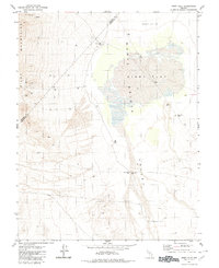 1980 Kibby Flat1980 Print · USGSThe arid basins of the Monte Cristo Valley are captured here as they appeared in 1980, detailing a landscape defined by mining and desert infrastructure. Trace old industrial footprints at the Dunham Mill (Site) and high-altitude mining at the Tiffany Mine.
 - 1980 Map of Cole Spring
 1980 Cole Spring1980 Print · USGSEsmeralda and Nye counties meet at the high-desert spring and rugged mountain ridges documented here in the early eighties. Researchers can locate remote mineral prospects, a quarry, and the vital water source at Cole Spring along the edge of the Cirac Valley.2 unique versions available
 - 1980 Map of Outlaw Springs SE
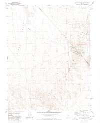 1980 Outlaw Springs SE1980 Print · USGSThe Nevada desert landscape at the border of Nye and Esmeralda counties is revealed in this 1980 survey of the mining districts east of Cirac Valley. Researchers can trace old prospecting sites like USMM Big Smoky, locate unnamed Ruins, and follow a network of Jeep Trails through the hills.
 - 1980 Map of Outlaw Springs NE
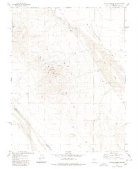 1980 Outlaw Springs NE1980 Print · USGSThe high desert of Nye and Esmeralda counties is captured here in the 1980s, showcasing a landscape defined by mineral exploration and arid basins. Researchers can trace the network of Jeep Trails connecting remote Mines, Prospects, and exploratory Drill Holes throughout the Royston Hills.
 - 1980 Map of Eddyville
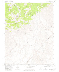 1980 Eddyville1980 Print · USGSThe Pilot Mountains of central Nevada are shown in the 1980s as a landscape defined by high-altitude mining and desert springs. Researchers can locate remote sites like Eddyville and trace the proximity of the Dunlap Tunnel and Hasbrouck Mine to vital water at Mustang Spring.
 - 1980 Map of Dicalite Summit
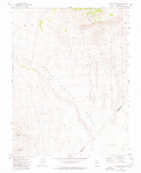 1980 Dicalite Summit1980 Print · USGSMineral and Esmeralda counties met in this high-desert mining landscape during the late twentieth century. Metal detectorists and historians can trace the paths of several Jeep Trails leading to the Good Hope Mine and the Desert Scheelite Mine.
 - 1980 Map of Outlaw Springs
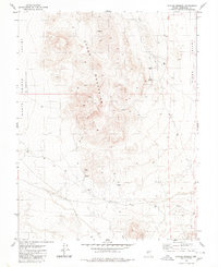 1980 Outlaw Springs1980 Print · USGSEsmeralda County in the early eighties is captured here as a landscape of high desert basins and isolated mining prospects. Researchers can locate the mountain settlement of Brandon, the namesake Outlaw Springs, and early infrastructure like a Radio Tower and various Jeep Trails.2 unique versions available
 - 1985 Map of Excelsior Mts
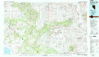 1985 Excelsior Mts1985 Print · USGSThe Nevada-California borderlands were a center of high-desert mining and military activity in the 1980s. Local history buffs can trace the Southern Pacific rail line and locate heritage sites like the Borealis Mine and Sodaville.2 unique versions available
 - 1985 Map of Saline Valley
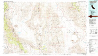 1985 Saline Valley1985 Print · USGSInyo County during the mid-1980s reveals a desert landscape of remote mining claims and isolated outposts between the high ranges. Geologists and researchers can trace the roads to Teakettle Junction or locate the historic Cerro Gordo Mine and Stovepipe Wells.2 unique versions available
 - 1985 Map of Last Chance Range
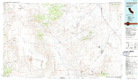 1985 Last Chance Range1985 Print · USGSThe high deserts of the California-Nevada border come alive in the mid-eighties, showing a landscape shaped by remote mining and volcanic geology. Researchers can trace historic extraction routes at the Sylvania Mine, locate the iconic Scotty's Castle, or follow the Old Railroad Grade past Bonnie Claire.2 unique versions available
 - 1985 Map of Goldfield
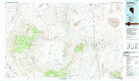 1985 Goldfield1985 Print · USGSEsmeralda County and the surrounding high desert are captured in the mid-eighties as modern infrastructure intersected with a century of mining history. Researchers can locate remote extraction sites like the Mohawk Mine, early outposts at Klondike, and geothermal features like Alkali Hot Spring.
 - 1987 Map of Rhyolite Ridge NW
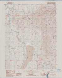 1987 Rhyolite Ridge NW1987 Print · USGSEsmeralda County's high-desert mining and ranching landscape is frozen in time during the late eighties. Metal detectorists and local historians can trace scattered prospects and ruins near Emigrant Peak and the ancient water sources of Gap Spring.
 - 1987 Map of Volcanic Hills West
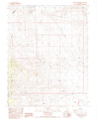 1987 Volcanic Hills West1987 Print · USGSEsmeralda County, Nevada, is captured in the late 1980s as a landscape of high-desert mining and isolated springs. Modern researchers can locate the F and L Mine, trace the Pinchot Trail, and identify water sources at Sand Spring Canyon and Wildhorse Flat.
 - 1987 Map of East of Davis Mtn.
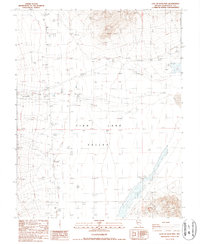 1987 East of Davis Mtn.1987 Print · USGSThe high-desert floor of Fish Lake Valley is captured here in the late eighties, showing a landscape defined by water and resource extraction. Researchers can locate remote geothermal wells, scattered prospects, and the small landing strip used to access this isolated terrain.
 - 1987 Map of Lida Wash SW
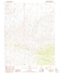 1987 Lida Wash SW1987 Print · USGSEsmeralda County in the late 1980s is defined here by the convergence of the Silver Peak Range and the Palmetto Mountains. Mineral seekers can trace the network of 4WD trails leading to numerous isolated prospects and a lonely Mine on the valley's edge.
 - 1987 Map of West of Gold Mountain
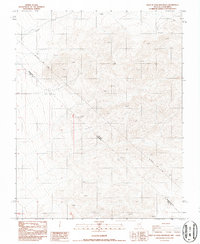 1987 West of Gold Mountain1987 Print · USGSThe Nevada and California borderlands come into focus in the late eighties, dominated by high desert peaks and old mining claims. Follow the historic Von Schmidt Line (1873) past Cone 6537 and several prospects along Oriental Wash.
 - 1987 Map of Mohawk Mine
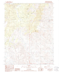 1987 Mohawk Mine1987 Print · USGSEsmeralda County's high desert mining country is captured here during the late eighties, showing a landscape defined by mineral claims and essential water holes. Researchers can trace the tracks leading to the Mohawk Mine, Nivloc Mine, and remote spots like Cone Spring.
 - 1987 Map of Juniper Mtn
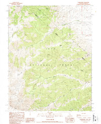 1987 Juniper Mtn1987 Print · USGSThe high country of the Mono County and Esmeralda County border is documented here in the late twentieth century. Researchers can trace the drainages of Leidy Creek and McAfee Creek or locate remote mining sites like the Green Monster Mine.
 - 1987 Map of Station Peak
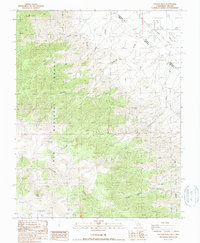 1987 Station Peak1987 Print · USGSThe California-Nevada borderlands near Mono County come into focus in the late 1980s, revealing a landscape shaped by high-altitude grazing and transit. Trace the historic Von Schmidt Line and locate remote outposts like the Deep Springs Cow Camp and Station Peak.
 - 1987 Map of Lone Mountain
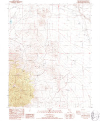 1987 Lone Mountain1987 Print · USGSEsmeralda County in the late 1980s shows a landscape defined by desert mining and abandoned infrastructure. Trace the Old Railroad Grade and locate historical Ruins and a Cem (cemetery) near Lone Mountain and the Smokey Valley.
 - 1987 Map of Magruder Mtn
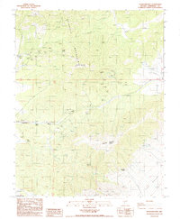 1987 Magruder Mtn1987 Print · USGSEsmeralda County's high-desert mining country is captured here during the late twentieth century. Researchers can trace the water sources and mining claims vital to the region, from the Blue Dick Mine to Mammoth Springs and the settlement of Palmetto.
 - 1987 Map of Tule Canyon
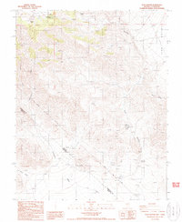 1987 Tule Canyon1987 Print · USGSThe Nevada-California borderlands are captured in the late eighties, documenting the arid Divide between Esmeralda and Inyo counties. Trace historic surveying at the Von Schmidt Line and locate essential desert water at Wild Rose Spring or Roosevelt Well.
 - 1987 Map of Truman Meadows
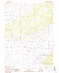 1987 Truman Meadows1987 Print · USGSHigh desert springs and the historic interstate boundary define this borderland region in the late eighties. Researchers can trace the original Von Schmidt Line past the Open Pit Mine or locate water sources like McBride Springs and Orchard Spring.
 - 1987 Map of Indian Garden Creek
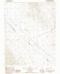 1987 Indian Garden Creek1987 Print · USGSThe high desert border between Nevada and California comes into focus in the late eighties, documenting the arid reaches of Fish Lake Valley. Trace the historic Von Schmidt Line (1873) and locate mineral operations like the Good Hope Mine and Lookout Mine.
 - 1987 Map of Lida Wash NW
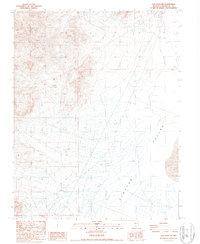 1987 Lida Wash NW1987 Print · USGSClayton Valley was a site of active mineral exploration and industrial infrastructure during the mid-eighties. Researchers can trace the layout of resource extraction through the placement of a Pumping Station, a Tailings Pond, and various prospects throughout the valley.
Showing maps 1-25 of 60
Top cities of Esmeralda County
- Dyer historical maps
- Goldfield historical maps
- Silver Peak historical maps
- Gold Point historical maps
- Lida historical maps
Frequently asked questions
- What are the different types of historical maps available for Esmeralda County?
- What is the oldest map of Esmeralda County?
- Where can I purchase historical maps of Esmeralda County for my home or office?
- Where can I download high-res historical maps of Esmeralda County?
- Are there historical topographic maps available for Esmeralda County?
- Is there historical aerial imagery available for Esmeralda County?
- Where are historical maps of Esmeralda County sourced from?