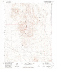
1980 Map of Outlaw Springs
USGS Topo · Published 1980About this map
The Cedar Mountains form the high, central spine of this Great Basin landscape, separating the Monte Cristo Valley (Depression) to the west from the Cirac Valley to the east. At the heart of the range, the high-elevation settlement of Brandon is documented alongside critical water sources like Outlaw Springs and another unnamed Spring.
Find a feature on this map
16 named features on this map. Tap any name to fly to it.
Don’t see what you’re looking for? This feature index may not catch every label — zoom into the map to look around manually.
Map Details
Editions of this 1980 Outlaw Springs Map
2 editions found
Other maps of this area

1907 · Tonopah
USGS Topo · 1:250,000

1908 · Tonopah
USGS Topo · 1:250,000

1956 · Tonopah
USGS Topo · 1:250,000

1959 · Tonopah
USGS Topo · 1:250,000

1962 · Tonopah
USGS Topo · 1:250,000
1968 · Crow Springs
USGS Topo · 1:24,000
1968 · Coaldale NE
USGS Topo · 1:24,000
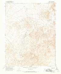
1968 · Gilbert
USGS Topo · 1:24,000
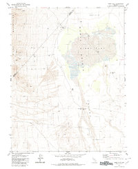
1980 · Kibby Flat
USGS Topo · 1:24,000

1980 · Cole Spring
USGS Topo · 1:24,000