2020s Maps of Bernalillo County, New Mexico
Explore 66 historic maps of Bernalillo County from the 2020s. These maps offer a rare glimpse into what life looked like during the 2020s — showing old roads, neighborhoods, homes, and landmarks that have changed or disappeared over time.
Whether you're researching your family's past, planning a metal detecting trip, or studying how Bernalillo County's landscape evolved across the 2020s, these high-resolution maps are a powerful tool for exploring the history of this region.
- Focus on a specific era: All maps on this page are from the 2020s, giving you a focused view of this time period.
- See what’s changed: Compare century-old streets, trails, and buildings to today's modern landscape using overlays and satellite layers.
- Research with precision: Use these maps for genealogy, historical research, land use analysis, or educational projects.
- View, download, or print: Maps are fully viewable online in high resolution, and can be downloaded or printed for your own records.
Start exploring Bernalillo County's history through authentic maps from the 2020s. This is your window into the past.
Bernalillo County, NM maps
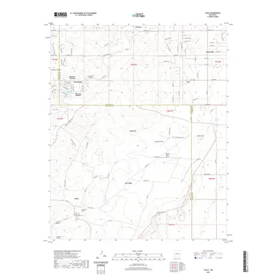
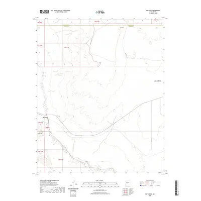
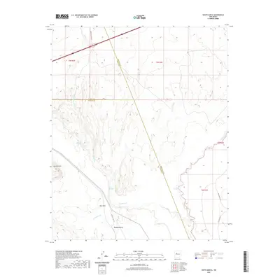
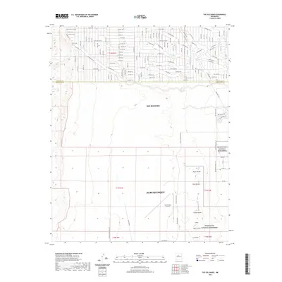
(66)- 2020 Map of Tajique, 2020 Print
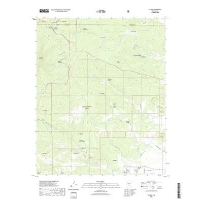 2020 Tajique2020 Print · USGSCovers Bernalillo County, including King Place, Riley Place, and other nearby areas
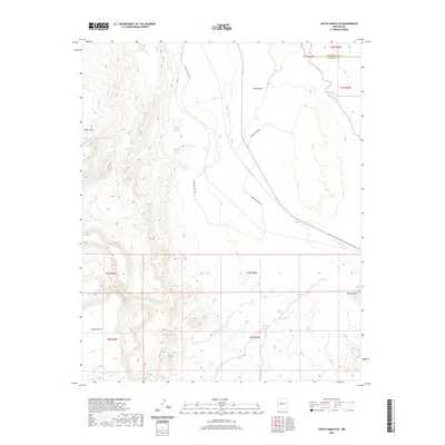
 - 2020 Map of Milbourn Ranch, 2020 Print
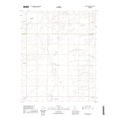
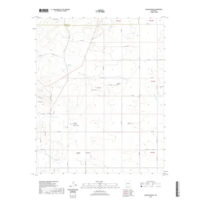 2020 Milbourn Ranch2020 Print · USGSCovers Bernalillo County, including Torrance County, United States, and other nearby areas
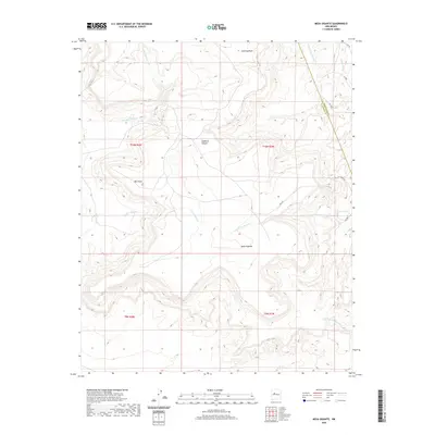
 - 2020 Map of Mount Washington, 2020 Print
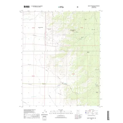 2020 Mount Washington2020 Print · USGSCovers Bernalillo County, including Valencia County, United States, and other nearby areas
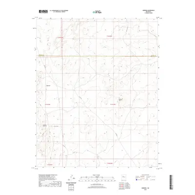
 - 2020 Map of Dalies NW, 2020 Print
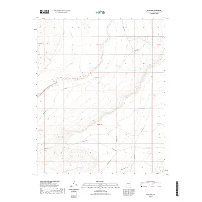 2020 Dalies NW2020 Print · USGSCovers Bernalillo County, including United States, New Mexico, and other nearby areas
 - 2020 Map of Dalies, 2020 Print
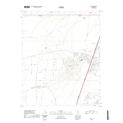 2020 Dalies2020 Print · USGSCovers Bernalillo County, including Los Lunas, Dalies, and other nearby areas
 - 2020 Map of Isleta, 2020 Print
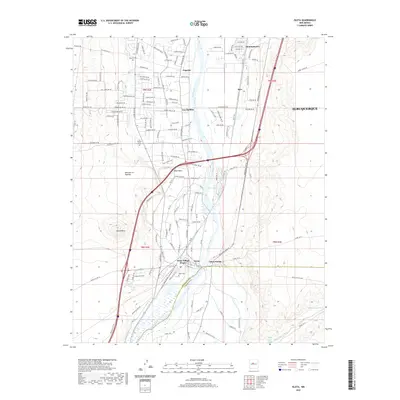 2020 Isleta2020 Print · USGSCovers Bernalillo County, including Albuquerque, Barr, and other nearby areas
 - 2020 Map of Chilili, 2020 Print
 2020 Chilili2020 Print · USGSCovers Bernalillo County, including Augustine, Old Chilili, and other nearby areas
 - 2020 Map of Hubbell Spring, 2020 Print
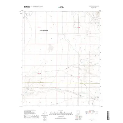 2020 Hubbell Spring2020 Print · USGSCovers Bernalillo County, including Albuquerque, Valencia County, and other nearby areas
 - 2020 Map of Rio Puerco, 2020 Print
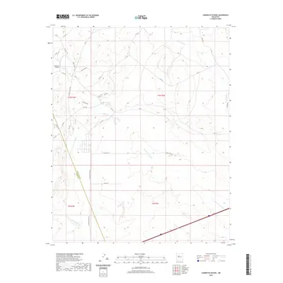
 2020 Rio Puerco2020 Print · USGSCovers Bernalillo County, including Rio Puerco, Valencia County, and other nearby areas
 - 2020 Map of Wind Mesa, 2020 Print
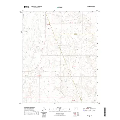
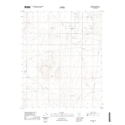 2020 Wind Mesa2020 Print · USGSCovers Bernalillo County, including United States, New Mexico, and other nearby areas
 - 2020 Map of Bosque Peak, 2020 Print
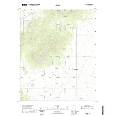
 2020 Bosque Peak2020 Print · USGSCovers Bernalillo County, including Zelete's Rock, Valencia County, and other nearby areas
 - 2020 Map of Escabosa, 2020 Print
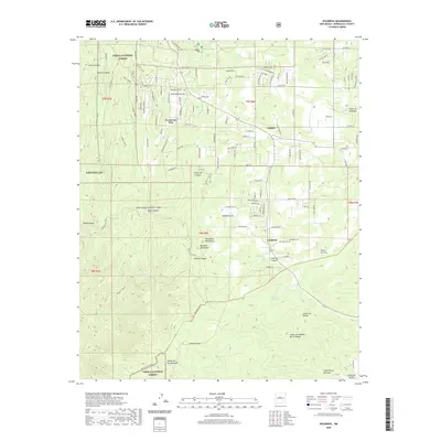 2020 Escabosa2020 Print · USGSCovers Bernalillo County, including Escabosa, Ponderosa Pine, and other nearby areas
 - 2020 Map of Los Lunas, 2020 Print
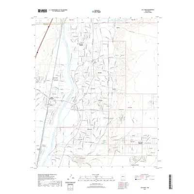 2020 Los Lunas2020 Print · USGSCovers Bernalillo County, including Los Lunas, Bosque Farms, and other nearby areas
 - 2020 Map of South Garcia, 2020 Print
 2020 South Garcia2020 Print · USGSCovers Bernalillo County, including South Garcia, Valencia County, and other nearby areas
 - 2020 Map of South Garcia SE, 2020 Print
 2020 South Garcia SE2020 Print · USGSCovers Bernalillo County, including Valencia County, United States, and other nearby areas
 - 2020 Map of Mesa Gigante, 2020 Print
 2020 Mesa Gigante2020 Print · USGSCovers Bernalillo County, including Eastern Navajo Agency, Cibola County, and other nearby areas
 - 2020 Map of Herrera, 2020 Print
 2020 Herrera2020 Print · USGSCovers Bernalillo County, including Eastern Navajo Agency, Herrera, and other nearby areas
 - 2020 Map of Arch Mesa, 2020 Print
 2020 Arch Mesa2020 Print · USGSCovers Bernalillo County, including Eastern Navajo Agency, Piedra Lumbre, and other nearby areas
 - 2020 Map of Canoncito School, 2020 Print
 2020 Canoncito School2020 Print · USGSCovers Bernalillo County, including Eastern Navajo Agency, To'hajiilee, and other nearby areas
 - 2020 Map of Albuquerque East, 2020 Print
 2020 Albuquerque East2020 Print · USGSCovers Bernalillo County, including Albuquerque, Enchanted Park, and other nearby areas
 - 2020 Map of San Pedro, 2020 Print
 2020 San Pedro2020 Print · USGSCovers Bernalillo County, including San Pedro, Cedar Grove, and other nearby areas
 - 2020 Map of The Volcanoes, 2020 Print
 2020 The Volcanoes2020 Print · USGSCovers Bernalillo County, including Albuquerque, Rio Rancho, and other nearby areas
 - 2020 Map of Tijeras, 2020 Print
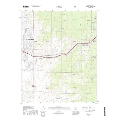 2020 Tijeras2020 Print · USGSCovers Bernalillo County, including Albuquerque, Cedar Crest, and other nearby areas
 - 2020 Map of Albuquerque West, 2020 Print
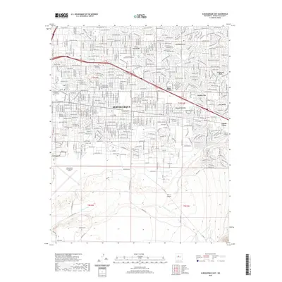
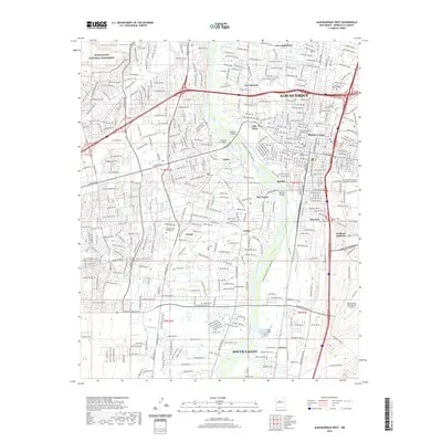 2020 Albuquerque West2020 Print · USGSCovers Bernalillo County, including Albuquerque, South Valley, and other nearby areas
 - 2020 Map of Benavidez Ranch, 2020 Print
 2020 Benavidez Ranch2020 Print · USGSCovers Bernalillo County, including Albuquerque, Eastern Navajo Agency, and other nearby areas
Showing maps 1-25 of 66
Top cities of Bernalillo County
- Albuquerque historical maps
- South Valley historical maps
- Los Ranchos de Albuquerque historical maps
- Paradise Hills historical maps
- Cedar Crest historical maps
- Tijeras historical maps
Frequently asked questions
- What are the different types of historical maps available for Bernalillo County?
- What is the oldest map of Bernalillo County?
- Where can I purchase historical maps of Bernalillo County for my home or office?
- Where can I download high-res historical maps of Bernalillo County?
- Are there historical topographic maps available for Bernalillo County?
- Is there historical aerial imagery available for Bernalillo County?
- Where are historical maps of Bernalillo County sourced from?