2020s Maps of Mora County, New Mexico
Explore 100 historic maps of Mora County from the 2020s. These maps offer a rare glimpse into what life looked like during the 2020s — showing old roads, neighborhoods, homes, and landmarks that have changed or disappeared over time.
Whether you're researching your family's past, planning a metal detecting trip, or studying how Mora County's landscape evolved across the 2020s, these high-resolution maps are a powerful tool for exploring the history of this region.
- Focus on a specific era: All maps on this page are from the 2020s, giving you a focused view of this time period.
- See what’s changed: Compare century-old streets, trails, and buildings to today's modern landscape using overlays and satellite layers.
- Research with precision: Use these maps for genealogy, historical research, land use analysis, or educational projects.
- View, download, or print: Maps are fully viewable online in high resolution, and can be downloaded or printed for your own records.
Start exploring Mora County's history through authentic maps from the 2020s. This is your window into the past.
Mora County, NM maps
(100)- 2020 Map of La Chata Crater, 2020 Print
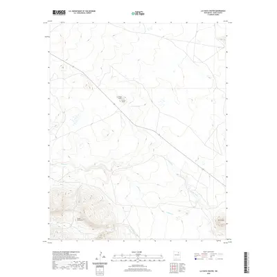 2020 La Chata Crater2020 Print · USGSCovers Mora County, including United States, New Mexico, and other nearby areas
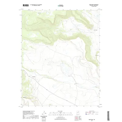
 - 2020 Map of Rayado, 2020 Print
 2020 Rayado2020 Print · USGSCovers Mora County, including Sunny Side, Rayado, and other nearby areas
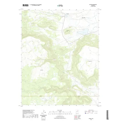
 - 2020 Map of Mora Ranch, 2020 Print
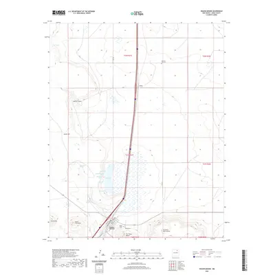
 2020 Mora Ranch2020 Print · USGSCovers Mora County, including Naranjos, United States, and other nearby areas
 - 2020 Map of Charette Lake, 2020 Print
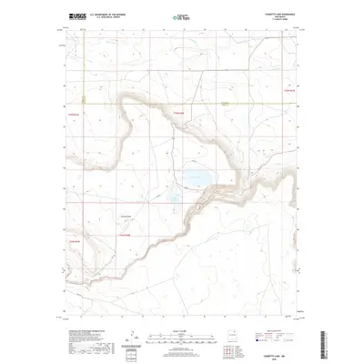 2020 Charette Lake2020 Print · USGSCovers Mora County, including Colfax County, United States, and other nearby areas
 - 2020 Map of Canon Colorado, 2020 Print
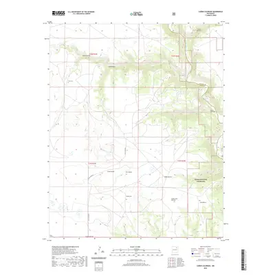 2020 Canon Colorado2020 Print · USGSCovers Mora County, including Harding County, United States, and other nearby areas
 - 2020 Map of Alto De Hormiga, 2020 Print
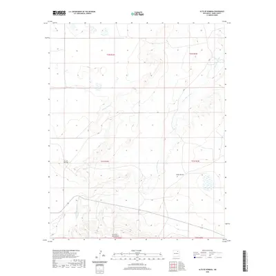 2020 Alto De Hormiga2020 Print · USGSCovers Mora County, including United States, New Mexico, and other nearby areas
 - 2020 Map of Jaritas Ranch, 2020 Print
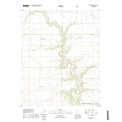 2020 Jaritas Ranch2020 Print · USGSCovers Mora County, including Colfax County, Harding County, and other nearby areas
 - 2020 Map of Mills West, 2020 Print
 2020 Mills West2020 Print · USGSCovers Mora County, including Mills, Harding County, and other nearby areas
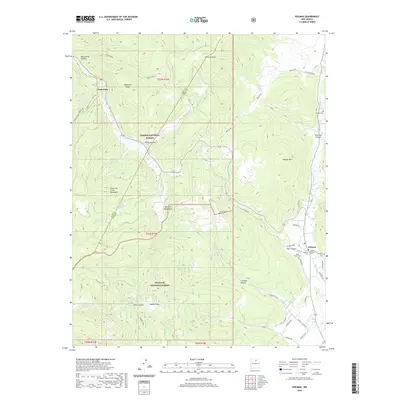
 - 2020 Map of Wagon Mound, 2020 Print
 2020 Wagon Mound2020 Print · USGSCovers Mora County, including Wagon Mound, Levy, and other nearby areas
 - 2020 Map of Cerro Negro, 2020 Print
 2020 Cerro Negro2020 Print · USGSCovers Mora County, including United States, New Mexico, and other nearby areas
 - 2020 Map of Colmor, 2020 Print
 2020 Colmor2020 Print · USGSCovers Mora County, including Colmor, Colfax County, and other nearby areas
 - 2020 Map of Miami, 2020 Print
 2020 Miami2020 Print · USGSCovers Mora County, including Miami, Valdez Place, and other nearby areas
 - 2020 Map of Stony Lake, 2020 Print
 2020 Stony Lake2020 Print · USGSCovers Mora County, including Colfax County, United States, and other nearby areas
 - 2020 Map of Holman, 2020 Print
 2020 Holman2020 Print · USGSCovers Mora County, including Holman, Angostura, and other nearby areas
 - 2020 Map of White Peak, 2020 Print
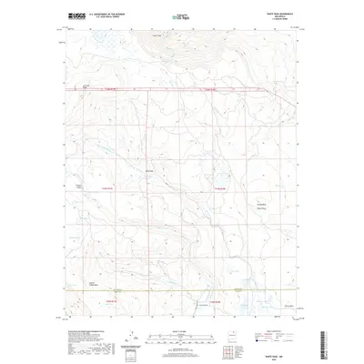 2020 White Peak2020 Print · USGSCovers Mora County, including Colfax County, United States, and other nearby areas
 - 2020 Map of Lucero, 2020 Print
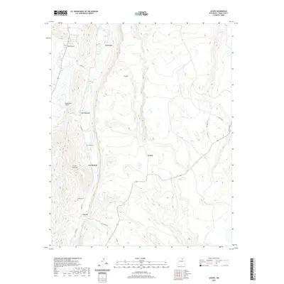 2020 Lucero2020 Print · USGSCovers Mora County, including Los Cocas, Los Medinas, and other nearby areas
 - 2020 Map of Shady Brook, 2020 Print
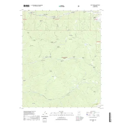 2020 Shady Brook2020 Print · USGSCovers Mora County, including Valle Escondido, Shady Brook, and other nearby areas
 - 2020 Map of Cerro Vista, 2020 Print
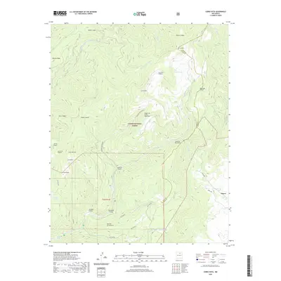 2020 Cerro Vista2020 Print · USGSCovers Mora County, including Taos County, United States, and other nearby areas
 - 2020 Map of Ojo Feliz, 2020 Print
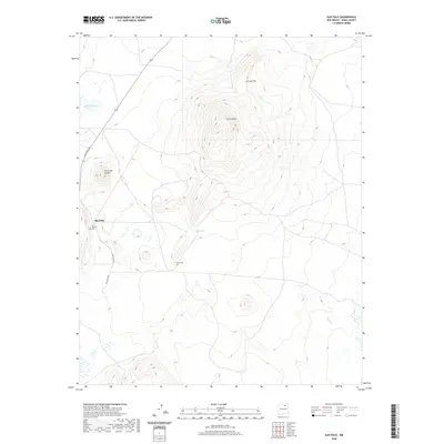 2020 Ojo Feliz2020 Print · USGSCovers Mora County, including Ojo Feliz, United States, and other nearby areas
 - 2020 Map of Watrous, 2020 Print
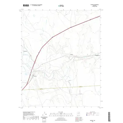 2020 Watrous2020 Print · USGSCovers Mora County, including Shoemaker, Valmora, and other nearby areas
 - 2020 Map of Ocate, 2020 Print
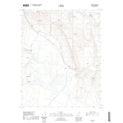 2020 Ocate2020 Print · USGSCovers Mora County, including Los LeFebres, Los Huerros, and other nearby areas
 - 2020 Map of Guadalupita, 2020 Print
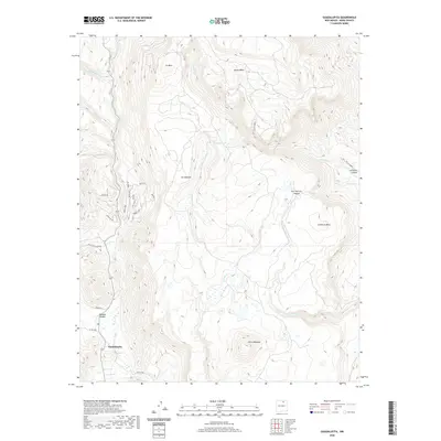 2020 Guadalupita2020 Print · USGSCovers Mora County, including Guadalupita, United States, and other nearby areas
 - 2020 Map of Cherry Valley Lake, 2020 Print
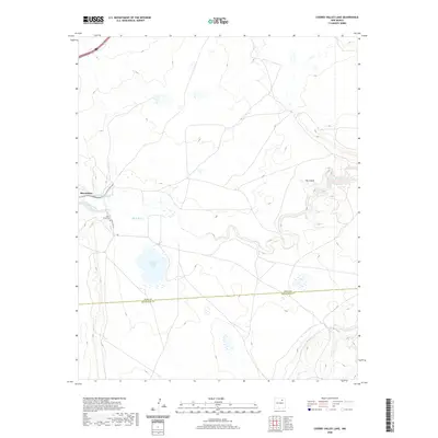 2020 Cherry Valley Lake2020 Print · USGSCovers Mora County, including San Miguel County, United States, and other nearby areas
 - 2020 Map of Maxson Crater, 2020 Print
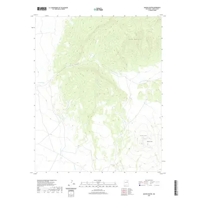 2020 Maxson Crater2020 Print · USGSCovers Mora County, including United States, New Mexico, and other nearby areas
 - 2020 Map of Osha Mountain, 2020 Print
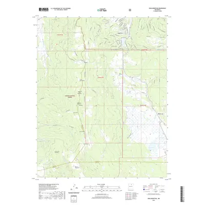 2020 Osha Mountain2020 Print · USGSCovers Mora County, including Angel Fire, Black Lake, and other nearby areas
Showing maps 1-25 of 100
Top cities of Mora County
Frequently asked questions
- What are the different types of historical maps available for Mora County?
- What is the oldest map of Mora County?
- Where can I purchase historical maps of Mora County for my home or office?
- Where can I download high-res historical maps of Mora County?
- Are there historical topographic maps available for Mora County?
- Is there historical aerial imagery available for Mora County?
- Where are historical maps of Mora County sourced from?