2010s Maps of Mora County, New Mexico
Explore 150 historic maps of Mora County from the 2010s. These maps offer a rare glimpse into what life looked like during the 2010s — showing old roads, neighborhoods, homes, and landmarks that have changed or disappeared over time.
Whether you're researching your family's past, planning a metal detecting trip, or studying how Mora County's landscape evolved across the 2010s, these high-resolution maps are a powerful tool for exploring the history of this region.
- Focus on a specific era: All maps on this page are from the 2010s, giving you a focused view of this time period.
- See what’s changed: Compare century-old streets, trails, and buildings to today's modern landscape using overlays and satellite layers.
- Research with precision: Use these maps for genealogy, historical research, land use analysis, or educational projects.
- View, download, or print: Maps are fully viewable online in high resolution, and can be downloaded or printed for your own records.
Start exploring Mora County's history through authentic maps from the 2010s. This is your window into the past.
Mora County, NM maps
(150)- 2010 Map of Loma Parda, 2010 Print
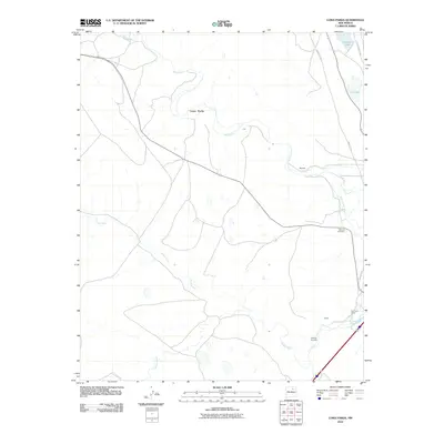 2010 Loma Parda2010 Print · USGSNortheastern New Mexico's historic transit corridors are on full display here, showing the paths of the Santa Fe Trl and Old Santa Fe Trl. Genealogists and historians can locate the Watrous Cemetery, Kroenig Cemetery, and the Fort Union Corral along the river valleys.
 - 2010 Map of Colmor, 2010 Print
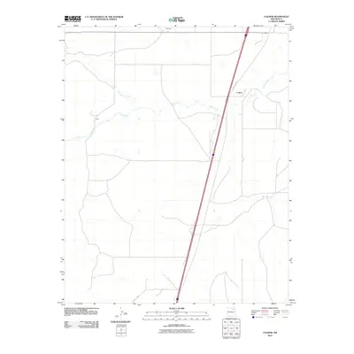 2010 Colmor2010 Print · USGSThe high plains of Colfax County appear in the early 21st century, dominated by the long diagonal reach of Old US Hwy 85. Genealogists and researchers can trace the rural outposts of Colmor, Maes, and Montoya along the winding banks of Ocate Creek.
 - 2010 Map of Charette Lake, 2010 Print
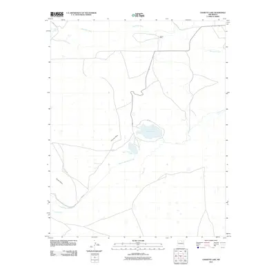 2010 Charette Lake2010 Print · USGSColfax County at the start of the 21st century remains a landscape of ranching and water management. Researchers can trace the path of the Santa Fe Trl past landmarks like Charette Mesa and the waters of Charette Lake.
 - 2010 Map of Stony Lake, 2010 Print
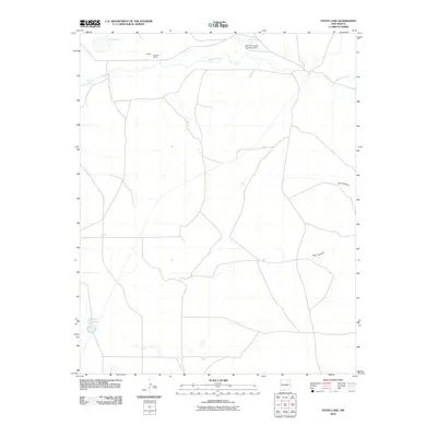 2010 Stony Lake2010 Print · USGSHigh plains ranching in Colfax County is captured here in the early twenty-first century, centered on the area's vital water sources and remote outposts. Genealogists and local researchers can trace legacy holdings at Red River Ranch and landmarks like Stony Lake or the Red River Cattle Company Dam.
 - 2010 Map of Wagon Mound, 2010 Print
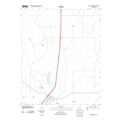 2010 Wagon Mound2010 Print · USGSThe high plains of Mora County come alive in this survey of Wagon Mound, where the legacy of the Santa Fe Trl meets modern ranching. Researchers can locate the Mountain View Cemetery, the old Wagon Mound Post Office, and remote springs like Big Willow Spring.
 - 2010 Map of Agua Fria Peak, 2010 Print
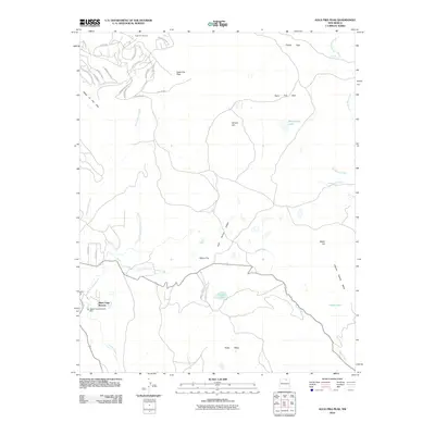 2010 Agua Fria Peak2010 Print · USGSAngel Fire and the southern Sangre de Cristo Mountains are captured here during a period of significant resort and residential growth. Genealogists and researchers can trace the development of Black Lake Resorts and the infrastructure surrounding Agua Fria Peak and the Angel Fire Ski Area.
 - 2010 Map of Lucero, 2010 Print
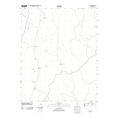 2010 Lucero2010 Print · USGSMora County's high-country settlements are documented here during the early twenty-first century as they line the banks of Coyote Creek. Family history researchers can locate specific namesake communities like Los Cisneros and Los Medinas or find burial sites at La Morada Cemetery.
 - 2010 Map of Guadalupita, 2010 Print
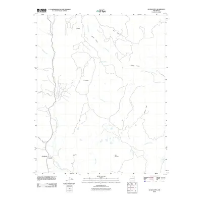 2010 Guadalupita2010 Print · USGSMora County ranching and mining land comes into focus in this early 21st-century survey of the high mesas. Researchers can trace local heritage through the Guadalupita Post Office, the John Hays Mine, and family-named landmarks like Blatteman and Hughs.
 - 2010 Map of Ojo Feliz, 2010 Print
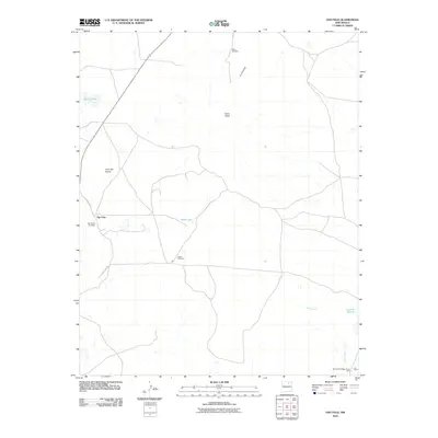 2010 Ojo Feliz2010 Print · USGSThe community of Ojo Feliz and the surrounding Mora County landscape are shown here as they appeared in the early twenty-first century. Genealogists and historians can trace local family roots through the San Yasidro Cemetery and Casias Cemetery or locate the Lois Claim and North Baldy Ridge Group Mine.
 - 2010 Map of Canon Encierro, 2010 Print
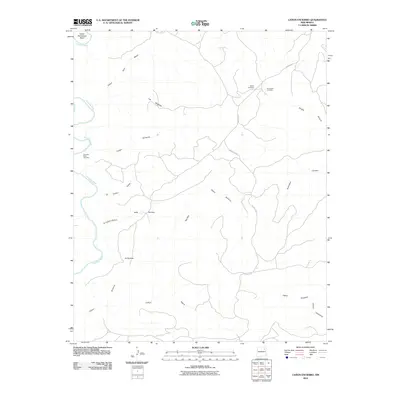 2010 Canon Encierro2010 Print · USGSSan Miguel County ranching country is documented here in the early twenty-first century, showing the canyons and mesas east of the Canadian River. Family history researchers can locate remote burial sites including Armenta Plaza Cemetery and Calvert Cemetery near the W-3 Cattle Company.
 - 2010 Map of Canon Ancho, 2010 Print
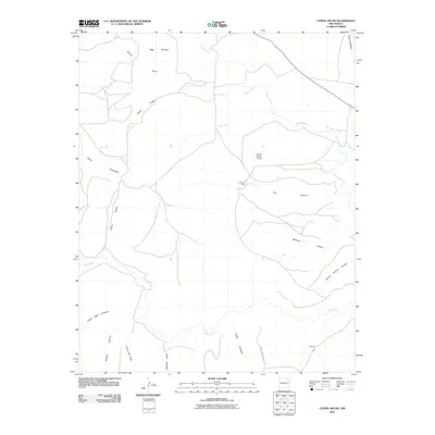 2010 Canon Ancho2010 Print · USGSSan Miguel County in the early twenty-first century remains a landscape of deep canyons and isolated ranching outposts. Researchers can trace land use patterns through features like Paltenghe Ranch, the Mora River, and the Eureka Ranch Airport.
 - 2010 Map of Cherry Valley Lake, 2010 Print
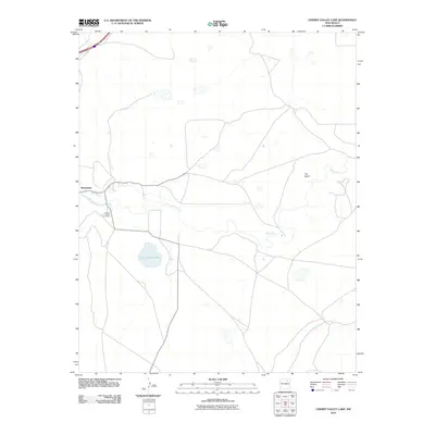 2010 Cherry Valley Lake2010 Print · USGSSan Miguel County in the early 2000s shows a landscape defined by the Mora River and its irrigation systems. Researchers can trace local genealogy at Cherry Valley Cemetery or explore the rural layout of Shoemaker and The Island.
 - 2010 Map of Frutosa Lake, 2010 Print
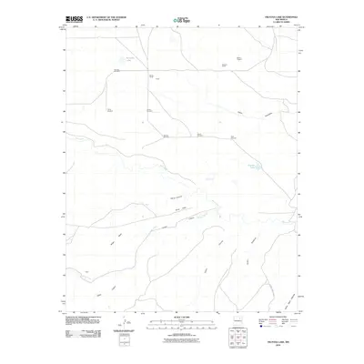 2010 Frutosa Lake2010 Print · USGSSan Miguel County ranchlands are documented here in the early twenty-first century, showing a landscape defined by canyons and essential water sources. You can trace the path of the Mora River and locate remote outposts like Berlier Ranch, Allen, and Morrison Windmill.
 - 2010 Map of Alamosa Creek, 2010 Print
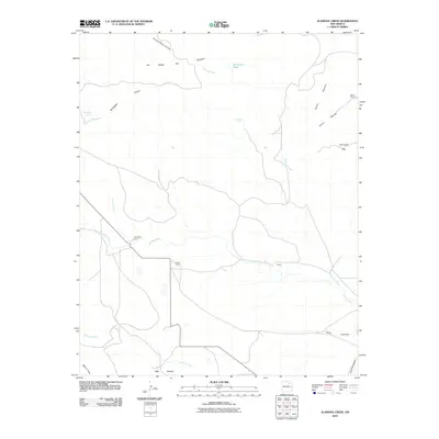 2010 Alamosa Creek2010 Print · USGSMora County ranching country is captured here in the early twenty-first century, showing a landscape defined by scattered homesteads and seasonal water. Genealogists and historians can locate family sites like Thompson Ranch or trace the drainage of Vermejo Creek and Alamosa Creek.
 - 2010 Map of Canon Las Cuevas, 2010 Print
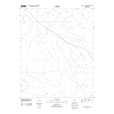 2010 Canon Las Cuevas2010 Print · USGSHarding County ranching country is mapped here during the early twenty-first century, showing a landscape defined by its deep canyon drainages. Genealogists and local historians can trace the paths of Mills Canyon Rd past landmarks like the Thompson Windmill and Cañon las Cuevas.
 - 2010 Map of Alamito, 2010 Print
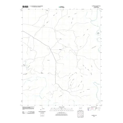 2010 Alamito2010 Print · USGSThe high mesa country of Mora County comes into focus in this early twenty-first century survey of the Alamito area. Researchers can trace the ranching landscape through landmarks like McDaniels, Mensor Windmill, and the winding Lower Horseshoe Bend of the Canadian River.
 - 2010 Map of Ocate, 2010 Print
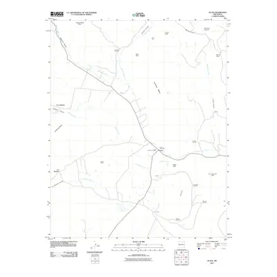 2010 Ocate2010 Print · USGSHigh-country ranching and small family settlements define this Mora County landscape in the early twenty-first century. Genealogists and historians can trace the foundations of local life through landmarks like the Ocate Post Office, Halls Peak Cemetery, and Los LeFebres.
 - 2010 Map of Miami, 2010 Print
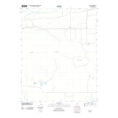 2010 Miami2010 Print · USGSMiami and the surrounding mesas of northern New Mexico are documented here at the turn of the millennium. Local historians and genealogists can trace family outposts like Valdez Place and Fernandez Ranch or locate burials at the Miami Cemetery.
 - 2010 Map of Comanche Peak, 2010 Print
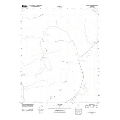 2010 Comanche Peak2010 Print · USGSThe Mora Valley and the Rincon Mountains are documented here in the early twenty-first century, showing a landscape of high-altitude ranching and remote settlements. Genealogists and local historians can locate the Immaculate Heart of Mary Cemetery and trace the small communities of El Turquillo and Luceros.
 - 2010 Map of Mora Ranch, 2010 Print
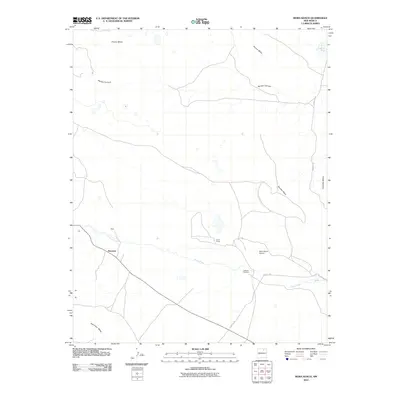 2010 Mora Ranch2010 Print · USGSMora County ranching country is shown here in the early twenty-first century as life continues along the banks of Ocate Creek. Researchers can locate the Calhoun Cemetery and trace the path of the historic Santa Fe Trl near Naranjos.
 - 2010 Map of White Peak, 2010 Print
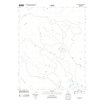 2010 White Peak2010 Print · USGSColfax County's high ranching country is documented here in the early twenty-first century, showing a landscape defined by seasonal camps and cattle operations. Researchers can trace land use through historic sites like La Grulla Cow Camp, Sawmill Camp, and the C S Cattle Company.
 - 2010 Map of Rayado, 2010 Print
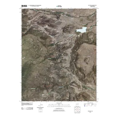 2010 Rayado2010 Print · USGSNew Mexico's high-mesa ranching country is captured here during the first decade of the 21st century. Researchers can trace the legacy of early transit along the Santa Fe Trl or locate family roots at the Abreu Cemetery and Rayado Historic District.
 - 2010 Map of Alto De Hormiga, 2010 Print
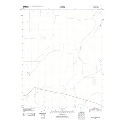 2010 Alto De Hormiga2010 Print · USGSMora County ranching country is documented here during the first decade of the new millennium. Researchers can trace the layout of high-desert tracts and named points like Wengert, Red River Ranch, and the Arroyo Piedra Lumbre watercourse.
 - 2010 Map of La Chata Crater, 2010 Print
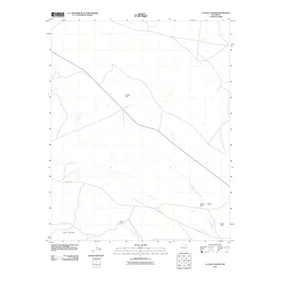 2010 La Chata Crater2010 Print · USGSMora County ranch lands and volcanic topography define this high-plains region in 2010. Trace the historic route of the SANTA FE TRL past local landmarks like La Chata Crater and the Diamond A Ranch.
 - 2010 Map of Cerro Negro, 2010 Print
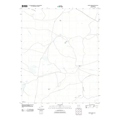 2010 Cerro Negro2010 Print · USGSMora County ranch land and historic trail routes are preserved in this early twenty-first-century survey. You can trace the path of the SANTA FE TRL past volcanic peaks like Cerro Negro and locate sites like the North Baldy Ridge Group Mine.
Showing maps 1-25 of 150
Top cities of Mora County
Frequently asked questions
- What are the different types of historical maps available for Mora County?
- What is the oldest map of Mora County?
- Where can I purchase historical maps of Mora County for my home or office?
- Where can I download high-res historical maps of Mora County?
- Are there historical topographic maps available for Mora County?
- Is there historical aerial imagery available for Mora County?
- Where are historical maps of Mora County sourced from?