2020s Maps of Union County, New Mexico
Explore 164 historic maps of Union County from the 2020s. These maps offer a rare glimpse into what life looked like during the 2020s — showing old roads, neighborhoods, homes, and landmarks that have changed or disappeared over time.
Whether you're researching your family's past, planning a metal detecting trip, or studying how Union County's landscape evolved across the 2020s, these high-resolution maps are a powerful tool for exploring the history of this region.
- Focus on a specific era: All maps on this page are from the 2020s, giving you a focused view of this time period.
- See what’s changed: Compare century-old streets, trails, and buildings to today's modern landscape using overlays and satellite layers.
- Research with precision: Use these maps for genealogy, historical research, land use analysis, or educational projects.
- View, download, or print: Maps are fully viewable online in high resolution, and can be downloaded or printed for your own records.
Start exploring Union County's history through authentic maps from the 2020s. This is your window into the past.
Union County, NM maps
(164)- 2020 Map of Farley, 2020 Print
 2020 Farley2020 Print · USGSThe high plains of Colfax County meet the Union County border in this recent survey of northeastern New Mexico. Genealogists and local historians can trace the rural road network connecting Farley to remote landmarks like Lanier Lake and the winding Sand Arroyo.
 - 2020 Map of Lawrence Arroyo, 2020 Print
 2020 Lawrence Arroyo2020 Print · USGSUnion County's high plains and mesas come alive in this contemporary survey of the New Mexico ranchlands. Genealogists and historians can trace family-named landmarks like Barela Spring, Cleto Lake, and the winding course of Lawrence Arroyo.
 - 2020 Map of Divine Lake, 2020 Print
 2020 Divine Lake2020 Print · USGSThe High Plains of northeastern New Mexico are captured here in the twenty-first century as the cattle and grassland economy remains central. Family history researchers can locate the Mofax Cem and trace landmarks like Sugarloaf Mtn and Divine Lake.
 - 2020 Map of Palo Blanco Mountain, 2020 Print
 2020 Palo Blanco Mountain2020 Print · USGSNortheast New Mexico's volcanic high plains are captured here in the contemporary era at the Union and Colfax county line. Researchers can trace land tracts and water sources across the landscape, from Palo Blanco Mtn to Alamo Spring and Barela Lake.
 - 2020 Map of Robinson Peak, 2020 Print
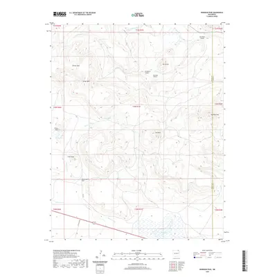 2020 Robinson Peak2020 Print · USGSThe high mesa country of Union County is preserved here in the late twentieth century, showing the intersection of volcanic terrain and vital water sources. Trace family ties and land use across Johnson Mesa, find remote landmarks like Jose Butte, or follow the Dry Cimarron River.
 - 2020 Map of Kiowa, 2020 Print
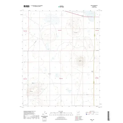 2020 Kiowa2020 Print · USGSHigh plains and volcanic craters define this corner of New Mexico on the border of Colfax and Union Counties. Researchers can trace local landmarks like Mountain View Cem, the settlement of Kiowa, and natural features including Horseshoe Crater.
 - 2020 Map of Trinchera Pass, 2020 Print
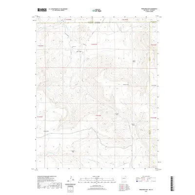 2020 Trinchera Pass2020 Print · USGSThe Colorado and New Mexico borderlands come alive in this recent survey of high-mesa country. Researchers can locate the Pacheco Cem or trace the drainage of the Dry Cimarron River as it passes landmarks like Prestons Point and Trinchera Pass.
 - 2020 Map of Folsom, 2020 Print
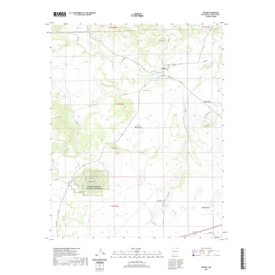 2020 Folsom2020 Print · USGSThe volcanic landscape of Union County is on full display in this modern survey of the Folsom area. Geologists and local historians can trace the topography of Capulin Volcano National Monument, locate the Folsom Cem, and follow the Dry Cimarron River through the village of Folsom.
 - 2020 Map of Clapham, 2020 Print
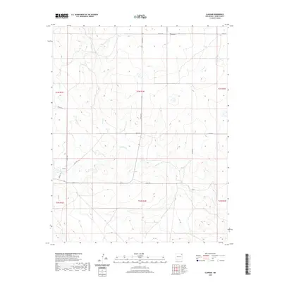 2020 Clapham2020 Print · USGSNortheastern New Mexico ranch land is documented here in the early twenty-first century, showing the enduring rural layout of Union County. Local researchers can trace the drainages of Pinabetes Cr and Garcia Cr alongside the settlements of Clapham and Thomas.
 - 2020 Map of Beenham, 2020 Print
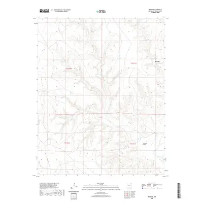 2020 Beenham2020 Print · USGSBeenham and the surrounding Union County high plains are captured here in the modern era. Researchers can trace the winding descent into Tramperos Canyon and locate the remote settlement of Beenham along Bushnell Cr.
 - 2020 Map of Tripod Mountain, 2020 Print
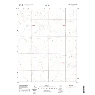 2020 Tripod Mountain2020 Print · USGSUnion County's high plains and volcanic peaks are captured in this recent survey of northeastern New Mexico. Researchers can trace the drainage of Carrizo Cr or locate geological landmarks like Tripod Mtn, Chavez Mtn, and the distinctive ridge of The Hogback.
 - 2020 Map of Sofia, 2020 Print
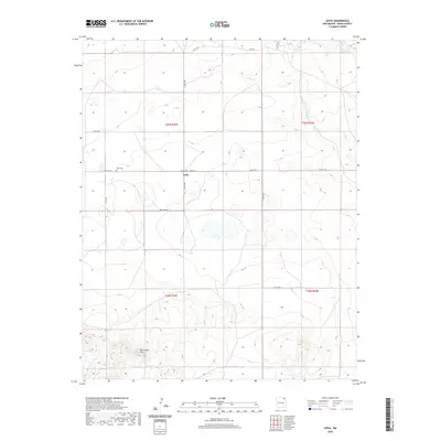 2020 Sofia2020 Print · USGSNortheastern New Mexico's high plains are documented here in the modern era, centered on the small community of Sofia. Researchers can trace the path of Carrizo Cr and follow rural routes like Belcheff Rd and Sofia Rd through the open range.
 - 2020 Map of Romero Spring, 2020 Print
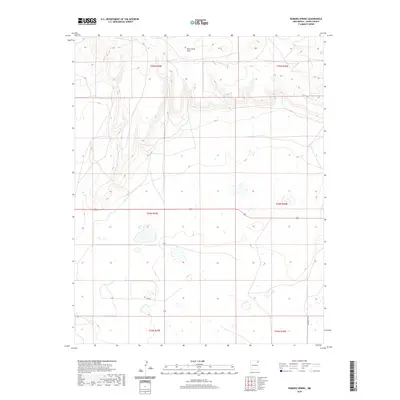 2020 Romero Spring2020 Print · USGSHigh plains ranching and volcanic geology define this northeastern New Mexico corner in the early twenty-first century. Researchers can trace land partitions across the Don Carlos Hills and locate water sources like Romero Spring.
 - 2020 Map of Yates SE, 2020 Print
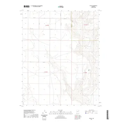 2020 Yates SE2020 Print · USGSHarding and Union Counties appear in the early twenty-first century as a landscape of wide-open ranching country. Researchers can trace family-named routes and geographic landmarks like Romero Bros Rd, Lovato Rd, and the prominent Ute Creek Mesa.
 - 2020 Map of Des Moines, 2020 Print
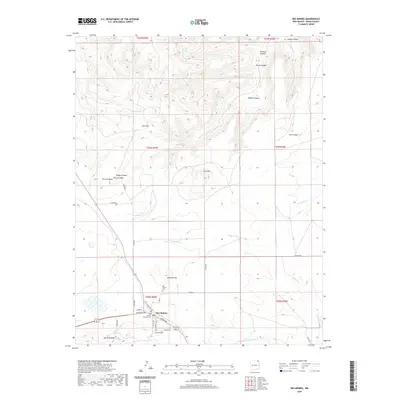 2020 Des Moines2020 Print · USGSThe high plains and volcanic peaks of Union County are surveyed here during the early twenty-first century. Genealogists and local historians can locate Des Moines and its community sites like Des Moines Cem and the nearby Sierra Grande landform.
 - 2020 Map of Yates, 2020 Print
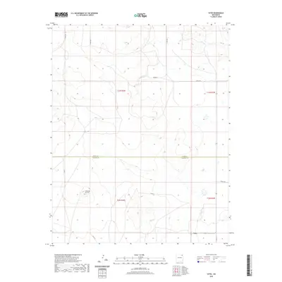 2020 Yates2020 Print · USGSThe rural crossing at Yates and the surrounding ranchlands are captured here in the early twenty-first century. Researchers can trace land boundaries between Union Co and Harding Co while locating landmarks like the prominent Cerro de la Cruz.
 - 2020 Map of Clayton, 2020 Print
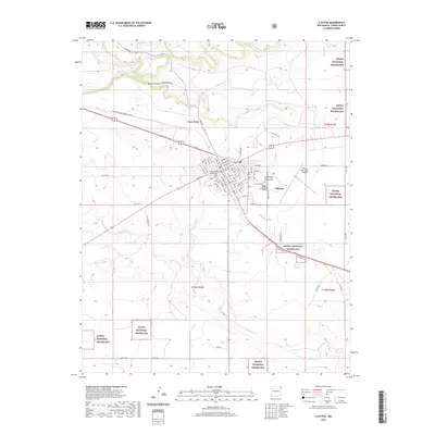 2020 Clayton2020 Print · USGSIn this modern survey of the northeastern New Mexico plains, the cattle-and-rail hub of Clayton stands at the center of a landscape shaped by canyon drainages and open ranch land. Researchers can locate the Union County courthouse and trace family history through the Independent Order of Odd Fellows Cem.
 - 2020 Map of Skull Mesa, 2020 Print
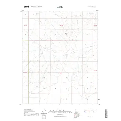 2020 Skull Mesa2020 Print · USGSUnion County's high plains are surveyed here in the modern era, showing a landscape defined by the drainage of Tramperos Cr. Researchers can trace old section-line roads like Perschbacher Rd and locate local landmarks such as Skull Mesa and Rock Hill.
 - 2020 Map of Clayton SW, 2020 Print
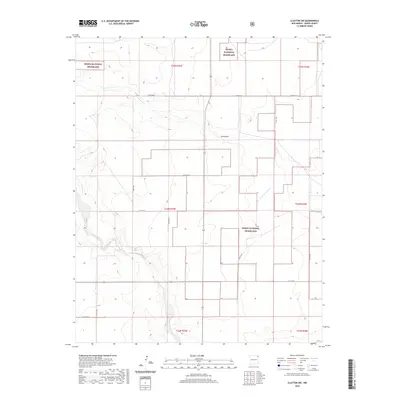 2020 Clayton SW2020 Print · USGSThe high plains of Union County are captured here in the early twenty-first century, showcasing a landscape of federal conservation and ranching. Researchers can trace the path of Carrizo Cr and find rural landmarks like Plainview and Sand Draw.
 - 2020 Map of Sedan NE, 2020 Print
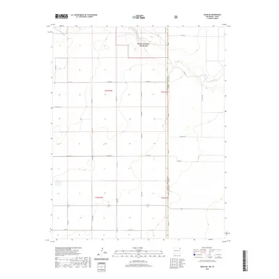 2020 Sedan NE2020 Print · USGSThe High Plains along the New Mexico-Texas border are captured here in a period of modern land management. Researchers can trace the drainage of Carrizo Cr and find early family-named routes like Holman Rd, Perkins Rd, and Woody Ln.
 - 2020 Map of Blind Gap, 2020 Print
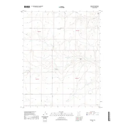 2020 Blind Gap2020 Print · USGSUnion County ranching country is mapped here in the early twenty-first century, showing the remote high plains landscape. Genealogists and local historians can locate family land near Sand Spring or trace routes through Blind Gap and Telephone Gap.
 - 2020 Map of Black Canyon, 2020 Print
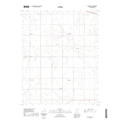 2020 Black Canyon2020 Print · USGSUnion County's high plains are documented here in recent years, showing a landscape defined by ranching routes and canyon drainages. Researchers can trace land ties along Heringa Rd and Swagerty Rd or follow the natural contours of Black Canyon.
 - 2020 Map of Wedding Cake Butte, 2020 Print
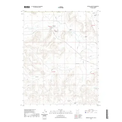 2020 Wedding Cake Butte2020 Print · USGSThe Colorado and New Mexico borderlands come to life in this recent study of the high plains and mesa country. Researchers can trace the ranching infrastructure and distinct landforms of the region, from Wedding Cake Butte to the S Beheimer Ditch and Piñon Ridge.
 - 2020 Map of Goat Canyon, 2020 Print
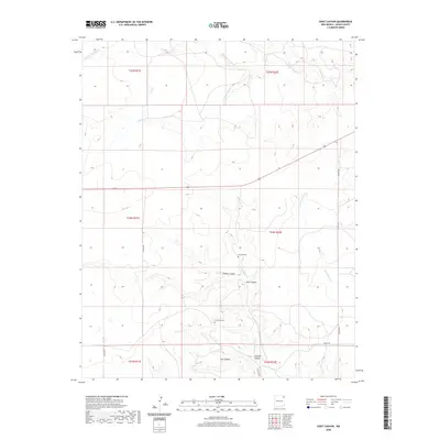 2020 Goat Canyon2020 Print · USGSNortheastern New Mexico's ranching country is documented here in the early twenty-first century, showing a landscape defined by deep canyons and high plains. Researchers can trace family sites at Sanchez Cem or follow the path of Pinabetes Cr through Goat Canyon.
 - 2020 Map of Grenville SW, 2020 Print
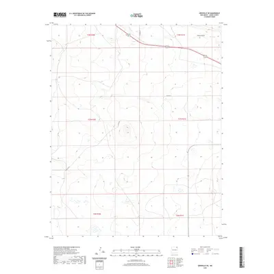 2020 Grenville SW2020 Print · USGSUnion County, New Mexico, is captured here in the early twenty-first century, showing a remote landscape shaped by prairie drainage and section-line roads. Researchers can trace rural routes like Hittson Rd and find the geographical landmark of Cherry Canyon.
Showing maps 1-25 of 164
Top cities of Union County
Frequently asked questions
- What are the different types of historical maps available for Union County?
- What is the oldest map of Union County?
- Where can I purchase historical maps of Union County for my home or office?
- Where can I download high-res historical maps of Union County?
- Are there historical topographic maps available for Union County?
- Is there historical aerial imagery available for Union County?
- Where are historical maps of Union County sourced from?