2000s (21st Century) Maps of Union County, New Mexico
Explore 420 historic maps of Union County from the 2000s (21st Century). These maps offer a rare glimpse into what life looked like during the 2000s — showing old roads, neighborhoods, homes, and landmarks that have changed or disappeared over time.
Whether you're researching your family's past, planning a metal detecting trip, or studying how Union County's landscape evolved across the 2000s, these high-resolution maps are a powerful tool for exploring the history of this region.
- Focus on a specific era: All maps on this page are from the 2000s, giving you a focused view of this time period.
- See what’s changed: Compare century-old streets, trails, and buildings to today's modern landscape using overlays and satellite layers.
- Research with precision: Use these maps for genealogy, historical research, land use analysis, or educational projects.
- View, download, or print: Maps are fully viewable online in high resolution, and can be downloaded or printed for your own records.
Start exploring Union County's history through authentic maps from the 2000s. This is your window into the past.
Union County, NM maps
(420)- 2010 Map of Furnish Canyon West, 2010 Print
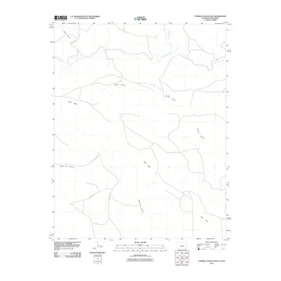 2010 Furnish Canyon West2010 Print · USGSHigh plains ranching country in southeastern Colorado is defined here by its winding canyons and mesa overlooks. Researchers can trace the path of West Carrizo Creek as it weaves past Black Mesa and into the depths of Furnish Canyon.
 - 2010 Map of Farley, 2010 Print
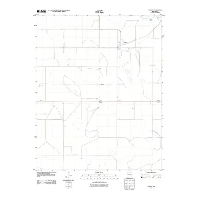 2010 Farley2010 Print · USGSNortheastern New Mexico's high plains are documented here in the early twenty-first century, showcasing a sparse ranching and farming landscape. Researchers can locate small family-named clusters and landmarks like Farley, Muller Dam, and the crossroads at Fleming.
 - 2010 Map of Cobert Mesa South, 2010 Print
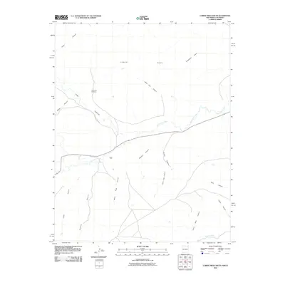 2010 Cobert Mesa South2010 Print · USGSThe high mesas and deep canyon drainages of Las Animas County appear in crisp detail in this 2010 topographic study. Researchers can trace the winding Dry Cimarron River and explore named features like Indian Trail Canyon and the Folsom Area.
 - 2010 Map of Sedan, 2010 Print
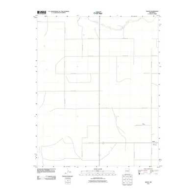 2010 Sedan2010 Print · USGSUnion County's high plains are documented here in the early twenty-first century, centered on the ranching community of Sedan. Researchers can locate the Sedan Post Office and Sedan Cemetery along the road network near Carrizo Creek.
 - 2010 Map of Snyder Lake, 2010 Print
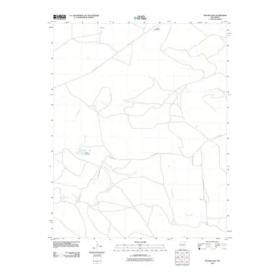 2010 Snyder Lake2010 Print · USGSHigh plains ranching and water management define this Union County landscape in the early 21st century. Researchers can trace rural settlement patterns near Chambers and Wiley, or follow the drainages of Carrizo Creek to the Snyder Lake Dam.
 - 2010 Map of Car Top Butte, 2010 Print
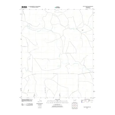 2010 Car Top Butte2010 Print · USGSNortheastern New Mexico's ranching country is documented here in the early twenty-first century, showing the remote high-plains terrain of Union County. Researchers can trace land features like Car Top Butte and name-specific landmarks such as Charley Adams Canyon and Pinabetes Creek.
 - 2010 Map of Travesser Park, 2010 Print
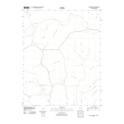 2010 Travesser Park2010 Print · USGSThe high mesa country of the New Mexico-Colorado border comes into focus in this recent study of the canyon-cut landscape. Researchers can trace the winding paths of Dry Cimarron River and Travesser Creek as they pass beneath Jesus Mesa.
 - 2010 Map of Beenham, 2010 Print
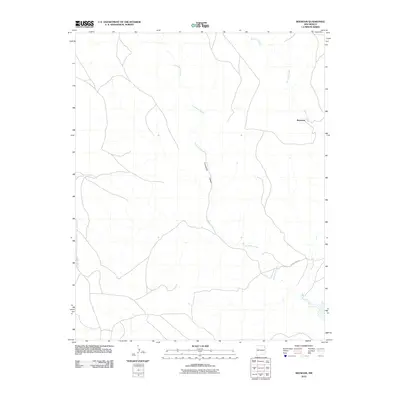 2010 Beenham2010 Print · USGSUnion County ranching country is captured here in the early twenty-first century, showing a landscape shaped by deep drainage systems. Genealogists and local historians can trace the rural routes surrounding Beenham and follow the path of Tramperos Canyon.
 - 2010 Map of Tripod Mountain, 2010 Print
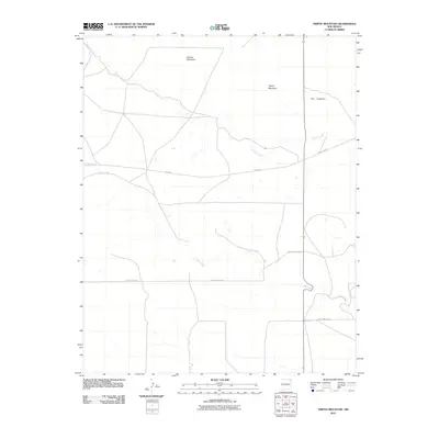 2010 Tripod Mountain2010 Print · USGSHigh plains topography and remote mountain peaks define this Union County landscape in the early 2010s. Researchers can trace rural routes like Sofia Rd as they navigate around Tripod Mountain, Chavez Mountain, and the winding path of Carrizo Creek.
 - 2010 Map of Cuates School, 2010 Print
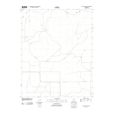 2010 Cuates School2010 Print · USGSUnion County, New Mexico, remains a land of isolated ranching and high-desert terrain in the early twenty-first century. Genealogists and local historians can trace the foundations of rural life through water sources like Bruner Spring and family sites such as Pacheco Ranch.
 - 2010 Map of Gladstone NW, 2010 Print
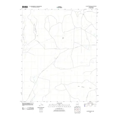 2010 Gladstone NW2010 Print · USGSThe high plains of Union County in the early twenty-first century reveal a landscape of remote outposts and winding drainages. Trace the rural road network connecting Armijo and Biffle or locate landmarks like Lower Garret Dam and Barela Canyon.
 - 2010 Map of Atencio, 2010 Print
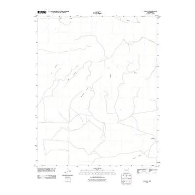 2010 Atencio2010 Print · USGSUnion County ranching country appears in the early twenty-first century as a landscape of remote canyons and high ridges. Researchers can locate the settlement of Atencio and trace historical land use through landmarks like Big Windmill and the winding Rodriguez Canyon.
 - 2010 Map of Malpie Mountain, 2010 Print
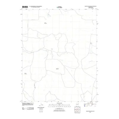 2010 Malpie Mountain2010 Print · USGSUnion County's high ranching country comes into focus in this early twenty-first century survey. Trace the old roads through Maverick or locate landmarks of the high plains like Malpie Mountain, Rosey Windmill, and Malpie Lake.
 - 2010 Map of Cross L Ranch SW, 2010 Print
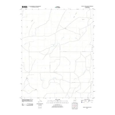 2010 Cross L Ranch SW2010 Print · USGSUnion County ranching country is mapped here in the early twenty-first century, showing a landscape defined by vital water sources and remote range roads. Genealogists and historians can locate family-named landmarks like Fleming Windmill and Baker Windmill along the banks of Spring Creek.
 - 2010 Map of Blind Gap, 2010 Print
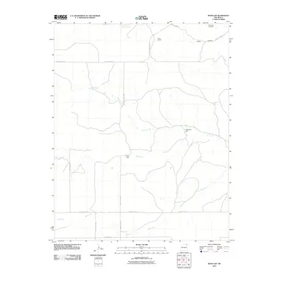 2010 Blind Gap2010 Print · USGSUnion County, New Mexico, is documented here in the early twenty-first century as a land of wide-open ranching country and deep canyons. Family historians and researchers can trace local landmarks like Smith Airport, Blind Gap, and the drainage of Rafael Creek.
 - 2010 Map of Boiler Gap, 2010 Print
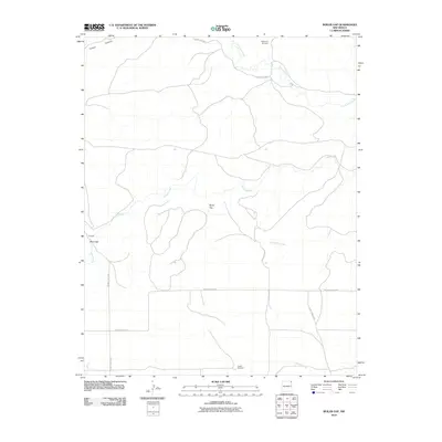 2010 Boiler Gap2010 Print · USGSUnion County, New Mexico, is shown in the early twenty-first century as a land of high-plains ranching and deep canyons. Researchers can trace the drainage of Corrumpa Creek and Rafael Creek or locate local landmarks like Vialpondo Windmill and Boiler Gap.
 - 2010 Map of Minnie Butte, 2010 Print
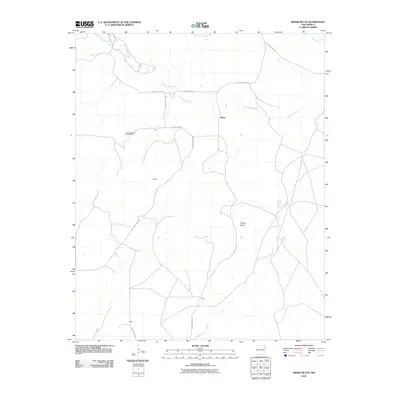 2010 Minnie Butte2010 Print · USGSUnion County during the early 2000s remains a landscape of wide-open ranching country and intermittent stream beds. Genealogists and local historians can trace the rural road network connecting Miera, Jeffrey, and landmarks like Minnie Butte.
 - 2010 Map of Grenville SW, 2010 Print
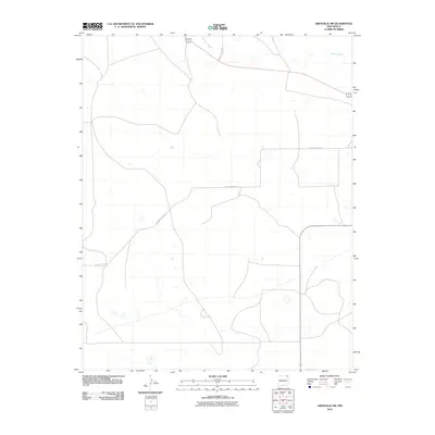 2010 Grenville SW2010 Print · USGSNortheastern New Mexico's High Plains are captured here in the early twenty-first century, showing a remote landscape of ranching and open range. Researchers can trace the path of Seneca Creek and the rural network of County Hwy A-052.
 - 2010 Map of Black Canyon, 2010 Print
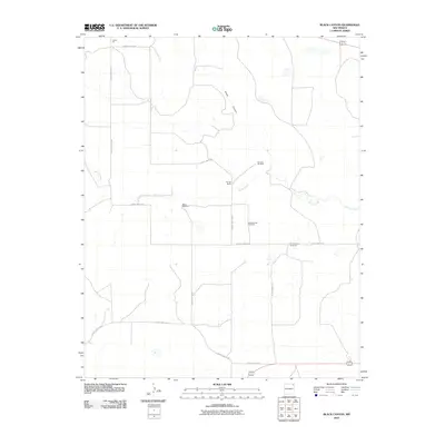 2010 Black Canyon2010 Print · USGSNortheastern New Mexico's ranching country is documented here in the early twenty-first century, showing a landscape shaped by water and wide-open range. Researchers can locate named landmarks such as Heringa Ranch, Schoolhouse Windmill, and Perico Creek.
 - 2010 Map of Mount Dora, 2010 Print
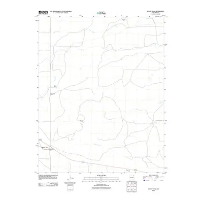 2010 Mount Dora2010 Print · USGSThe ranching country of Union County is documented here during the early 2000s, showing the intersection of high-plains geography and modern infrastructure. You can trace local landmarks like the Price Ranch Airport, the Mount Dora Post Office, and the industrial Angkin Trust Pit.
 - 2010 Map of Capulin, 2010 Print
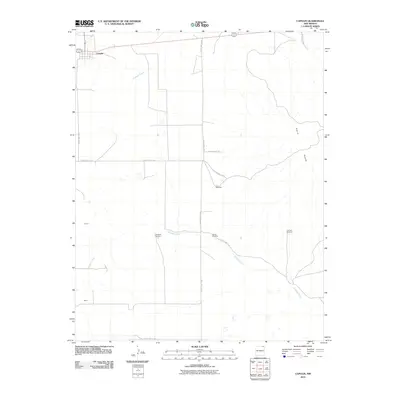 2010 Capulin2010 Print · USGSCapulin and the eastern slopes of the volcanic Sierra Grande appear here during the first decade of the 2000s. Researchers can trace the rural landscape through named landmarks like La Cueva Windmill, Leiorer, and the headwaters of Gallegos Creek.
 - 2010 Map of Beenham SW, 2010 Print
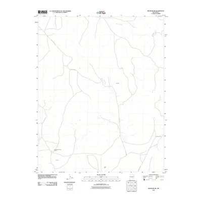 2010 Beenham SW2010 Print · USGSThe high plains of Union County are captured here in the early twenty-first century, showcasing a landscape defined by ranching and resource extraction. Researchers can locate family landmarks like Harlan Vigil or trace the roads surrounding Campbell and the Bueyeros CO2 Plant Airport.
 - 2010 Map of Sedan SE, 2010 Print
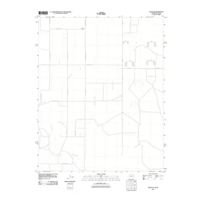 2010 Sedan SE2010 Print · USGSUnion County, New Mexico, appears here in the early twenty-first century as a landscape of wide-open spaces and rural cattle-country roads. Genealogists and local historians can locate Shaha Cemetery and trace the drainage of Tramperos Creek across the high plains.
 - 2010 Map of Cow Mountain, 2010 Print
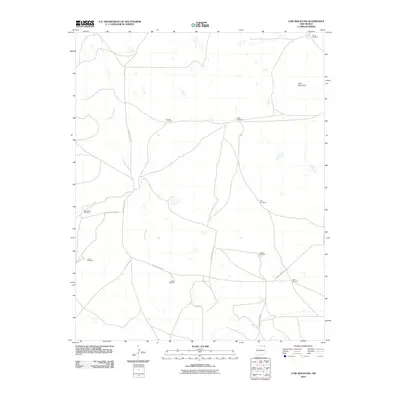 2010 Cow Mountain2010 Print · USGSThe high plains of Union County at the turn of the millennium reveal a landscape focused on ranching and water management. Researchers can trace land use through family-named landmarks like Sintas Windmill, Marsellino Windmill, and the prominent Cow Mountain.
 - 2010 Map of Stead, 2010 Print
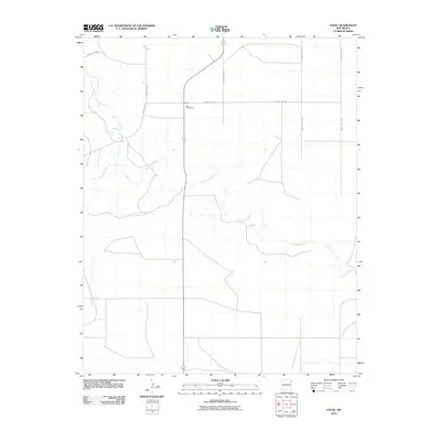 2010 Stead2010 Print · USGSNortheastern New Mexico's high plains are captured here in the early twenty-first century, centered on the ranching community of Stead. Researchers can pinpoint the location of the Stead Post Office and trace the riparian drainage of Tramperos Creek and Pinabetes Creek.
Showing maps 1-25 of 420
Top cities of Union County
Frequently asked questions
- What are the different types of historical maps available for Union County?
- What is the oldest map of Union County?
- Where can I purchase historical maps of Union County for my home or office?
- Where can I download high-res historical maps of Union County?
- Are there historical topographic maps available for Union County?
- Is there historical aerial imagery available for Union County?
- Where are historical maps of Union County sourced from?