2020s Maps of New York
Explore 1,071 historic maps of New York from the 2020s. These maps offer a rare glimpse into what life looked like during the 2020s — showing old roads, neighborhoods, homes, and landmarks that have changed or disappeared over time.
Whether you're researching your family's past, planning a metal detecting trip, or studying how New York's landscape evolved across the 2020s, these high-resolution maps are a powerful tool for exploring the history of this region.
- Focus on a specific era: All maps on this page are from the 2020s, giving you a focused view of this time period.
- See what’s changed: Compare century-old streets, trails, and buildings to today's modern landscape using overlays and satellite layers.
- Research with precision: Use these maps for genealogy, historical research, land use analysis, or educational projects.
- View, download, or print: Maps are fully viewable online in high resolution, and can be downloaded or printed for your own records.
Start exploring New York's history through authentic maps from the 2020s. This is your window into the past.
New York maps
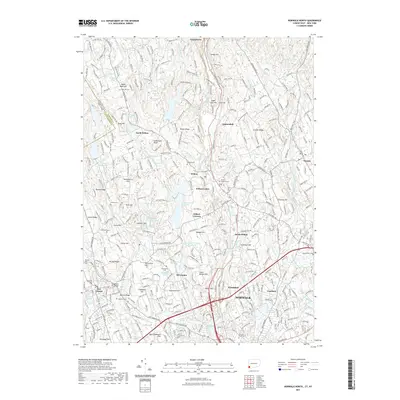
(1,071)- 2021 Map of New London, 2021 Print
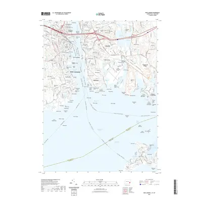 2021 New London2021 Print · USGSCovers New York, including Groton, New London, and other nearby areas
 - 2021 Map of Sharon, 2021 Print
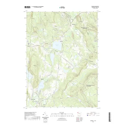 2021 Sharon2021 Print · USGSCovers New York, including Salisbury, North East, and other nearby areas
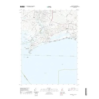
 - 2021 Map of Sherwood Point, 2021 Print
 2021 Sherwood Point2021 Print · USGSCovers New York, including Huntington, Smithtown, and other nearby areas
 - 2021 Map of Clinton OE S, 2021 Print
 2021 Clinton OE S2021 Print · USGSCovers New York, including Southold, Madison, and other nearby areas
 - 2021 Map of Branford OE S, 2021 Print
 2021 Branford OE S2021 Print · USGSCovers New York, including Riverhead, Branford, and other nearby areas
 - 2021 Map of Glenville, 2021 Print
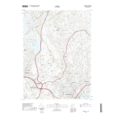 2021 Glenville2021 Print · USGSCovers New York, including Greenwich, White Plains, and other nearby areas
 - 2021 Map of Norwalk South, 2021 Print
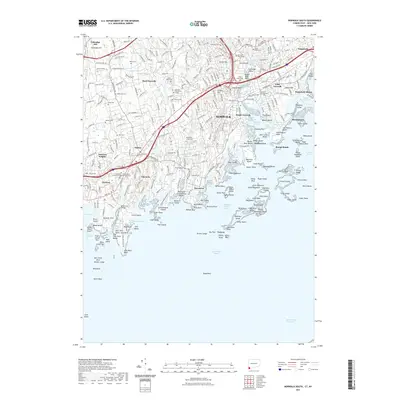 2021 Norwalk South2021 Print · USGSCovers New York, including Huntington, Stamford, and other nearby areas
 - 2021 Map of Niantic, 2021 Print
 2021 Niantic2021 Print · USGSCovers New York, including New London, Southold, and other nearby areas
 - 2021 Map of Guilford OE S, 2021 Print
 2021 Guilford OE S2021 Print · USGSCovers New York, including Riverhead, Branford, and other nearby areas
 - 2021 Map of Norwalk North, 2021 Print
 2021 Norwalk North2021 Print · USGSCovers New York, including Norwalk, Westport, and other nearby areas
 - 2021 Map of Watch Hill, 2021 Print
 2021 Watch Hill2021 Print · USGSCovers New York, including Southold, Westerly, and other nearby areas
 - 2021 Map of Mystic, 2021 Print
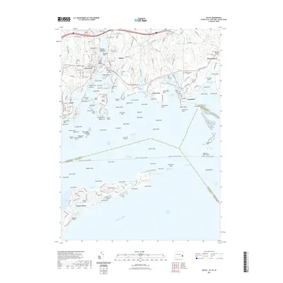 2021 Mystic2021 Print · USGSCovers New York, including Groton, Southold, and other nearby areas
 - 2021 Map of Pittsfield West, 2021 Print
 2021 Pittsfield West2021 Print · USGSCovers New York, including Pittsfield, Lenox, and other nearby areas
 - 2021 Map of Egremont, 2021 Print
 2021 Egremont2021 Print · USGSCovers New York, including Great Barrington, Copake, and other nearby areas
 - 2021 Map of Bash Bish Falls, 2021 Print
 2021 Bash Bish Falls2021 Print · USGSCovers New York, including Salisbury, Copake, and other nearby areas
 - 2021 Map of Hancock, 2021 Print
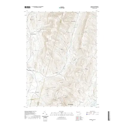 2021 Hancock2021 Print · USGSCovers New York, including Pittsfield, Lanesborough, and other nearby areas
 - 2021 Map of State Line, 2021 Print
 2021 State Line2021 Print · USGSCovers New York, including Great Barrington, Hillsdale, and other nearby areas
 - 2023 Map of Wattsburg, 2023 Print
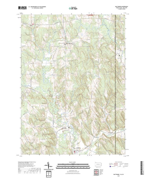 2023 Wattsburg2023 Print · USGSCrossing the Pennsylvania and New York border, this modern topographic study captures the rural hamlets and glacial terrain of Erie and Chautauqua counties. Genealogists can locate family burial sites like the Old Miller Burial Ground and Lowville Cem near the banks of the West Branch French Creek.
 - 2023 Map of North East OE N, 2023 Print
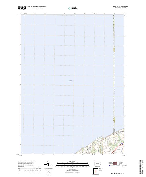 2023 North East OE N2023 Print · USGSThe Pennsylvania and New York border reaches the shoreline of Lake Erie in this recent survey of the coastal corridor. Researchers can trace the path of Twenty-mile Creek and the route of the Great Lakes Seaway Trail as they cross the state line.
 - 2023 Map of Damascus, 2023 Print
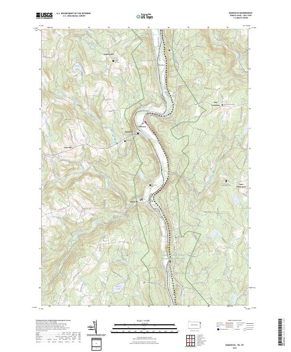 2023 Damascus2023 Print · USGSThe Delaware River valley at the Pennsylvania and New York border remains a landscape of small river towns and upland ponds in this recent survey. Genealogists can locate family burial sites including Hillside Cem and Milanville Cem near the banks of the Delaware River Gorge.
 - 2023 Map of Susquehanna, 2023 Print
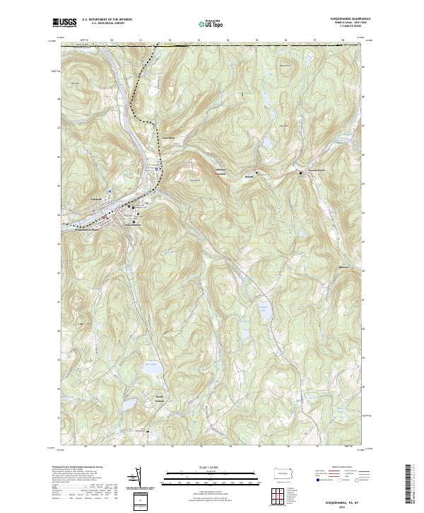 2023 Susquehanna2023 Print · USGSThe river valley at Susquehanna and Oakland is shown in this recent survey, capturing the region's transition from a major rail hub to a modern landscape. Researchers can locate numerous family burial sites like Evergreen Cem and trace the historic route of the D & H Rail-Trl.
 - 2023 Map of Sayre, 2023 Print
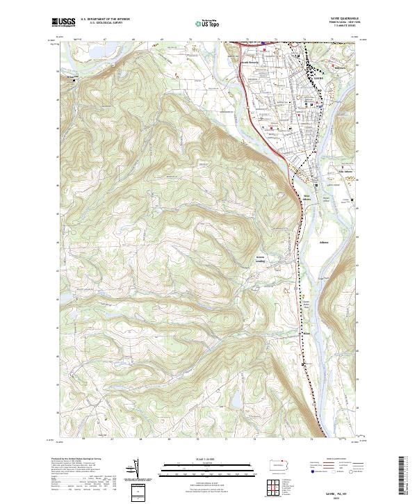 2023 Sayre2023 Print · USGSThe confluence of the Chemung River and Susquehanna River highlights this late-era survey of the Penn-York border. Researchers can trace family history at Tioga Point Cemetery, the Queen Esther Flats, and the older Old Athens Cemetery.
 - 2023 Map of Starrucca, 2023 Print
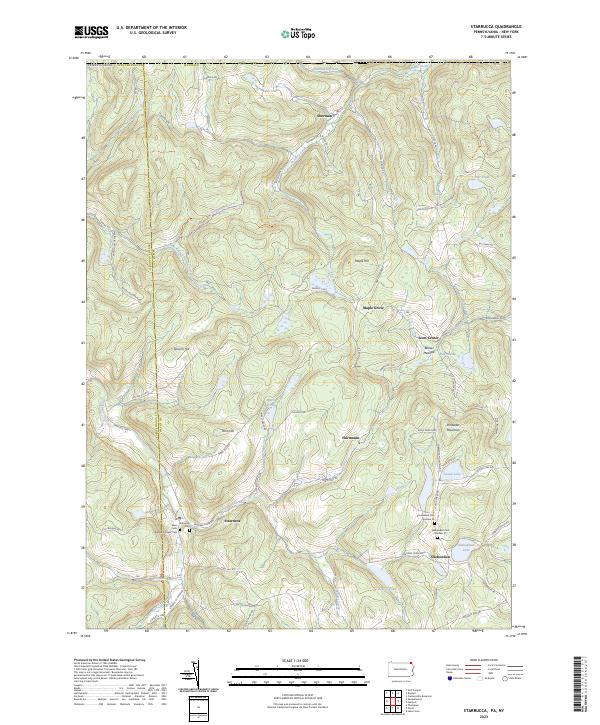 2023 Starrucca2023 Print · USGSWayne County's high ridges and creek valleys appear in recent detail, showing the rural character of the Pennsylvania-New York borderlands. Genealogists and historians can locate remote family burial sites like Shehawken Cem Number 02 or trace the path of the former D&H Rail-Trl.
 - 2023 Map of Ellisburg, 2023 Print
 2023 Ellisburg2023 Print · USGSPotter County and the New York borderlands appear here in a landscape of deep hollows and rural crossroad communities. Researchers can trace family history through several landmark burial sites like Andrews Settlement Cem and explore small hamlets including Eleven Mile and Kinney.
 - 2023 Map of Harrison Valley, 2023 Print
 2023 Harrison Valley2023 Print · USGSHarrison Valley and the high ridges of Potter County are mapped here just south of the New York state line. Researchers can trace rural lineages through the English Family Cem, locate the small settlement of Mills, and follow the headwaters of the Genesee River.
Showing maps 1-25 of 1,071
Top cities of New York
- New York historical maps
- Hempstead historical maps
- Brookhaven historical maps
- Islip historical maps
- Oyster Bay historical maps
- Buffalo historical maps
See more
Top counties of New York
- Kings County historical maps
- Queens County historical maps
- New York County historical maps
- Suffolk County historical maps
- Bronx County historical maps
- Nassau County historical maps
See more
Frequently asked questions
- What are the different types of historical maps available for New York?
- What is the oldest map of New York?
- Where can I purchase historical maps of New York for my home or office?
- Where can I download high-res historical maps of New York?
- Are there historical topographic maps available for New York?
- Is there historical aerial imagery available for New York?
- Where are historical maps of New York sourced from?