2020s Maps of Adams County, North Dakota
Explore 58 historic maps of Adams County from the 2020s. These maps offer a rare glimpse into what life looked like during the 2020s — showing old roads, neighborhoods, homes, and landmarks that have changed or disappeared over time.
Whether you're researching your family's past, planning a metal detecting trip, or studying how Adams County's landscape evolved across the 2020s, these high-resolution maps are a powerful tool for exploring the history of this region.
- Focus on a specific era: All maps on this page are from the 2020s, giving you a focused view of this time period.
- See what’s changed: Compare century-old streets, trails, and buildings to today's modern landscape using overlays and satellite layers.
- Research with precision: Use these maps for genealogy, historical research, land use analysis, or educational projects.
- View, download, or print: Maps are fully viewable online in high resolution, and can be downloaded or printed for your own records.
Start exploring Adams County's history through authentic maps from the 2020s. This is your window into the past.
Adams County, ND maps
(58)- 2020 Map of Haynes, 2020 Print
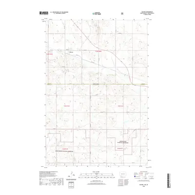 2020 Haynes2020 Print · USGSThe borderlands of North Dakota and South Dakota are captured here in a modern era of high-plains ranching and prairie conservation. Genealogists and local historians can trace the town layout of Haynes, locate the Haynes Cem, and explore the winding paths through the Grand River National Grassland.
 - 2020 Map of Hettinger South, 2020 Print
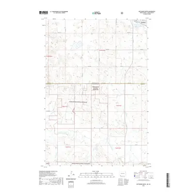 2020 Hettinger South2020 Print · USGSHettinger and the expansive prairie of the North Dakota-South Dakota border are captured here in the 2020s. Local researchers can trace family lands near the Grand River National Grassland or follow the waters of Bull Hook Cr and Mirror Lake.
 - 2020 Map of Pearl Butte NW, 2020 Print
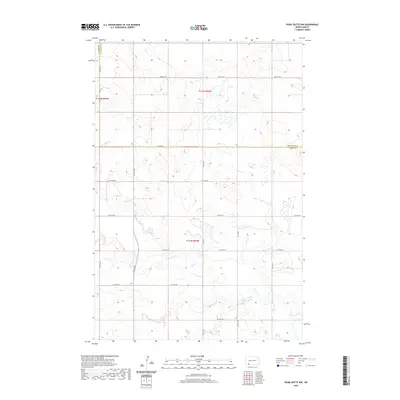 2020 Pearl Butte NW2020 Print · USGSThe open prairie of the North Dakota borderlands comes into focus in this recent survey of the Hettinger and Adams county line. Genealogists and researchers can trace the course of Cedar Creek and a network of section roads like 102 Ave SW and 15th Ave NE.
 - 2020 Map of Round Top, 2020 Print
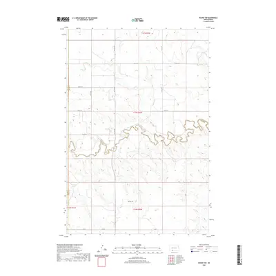 2020 Round Top2020 Print · USGSThe North Dakota prairie at the intersection of Adams, Grant, and Sioux Counties is captured here in modern detail. Trace the winding course of Cedar Creek or locate the landmark elevation of Round Top amidst the drainages of Timber Cr and Alkali Cr.
 - 2020 Map of Abbey Hill, 2020 Print
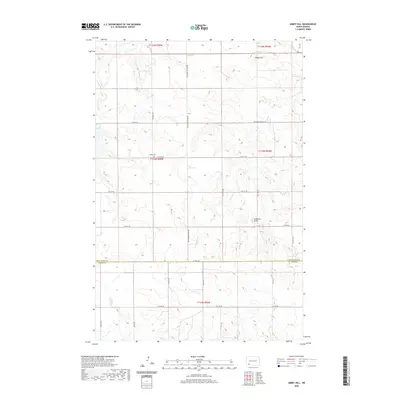 2020 Abbey Hill2020 Print · USGSThe border of Hettinger and Adams counties comes into focus in this recent survey, showing a landscape of high prairie ridges and winding creek beds. Family historians can locate Alden Cem and trace the paths of Indian Cr and Dayton Cr across the plains.
 - 2020 Map of Cedar Butte, 2020 Print
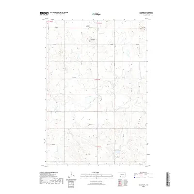 2020 Cedar Butte2020 Print · USGSAdams County's prairie landscape remains defined by its distinctive high-plains topography and early twentieth-century land patterns. Genealogists and local historians can trace family ties at the Union Cem / Spring Butte Cem or locate landmarks like Robbers Butte and Cedar Creek.
 - 2020 Map of Cedar Lake, 2020 Print
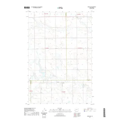 2020 Cedar Lake2020 Print · USGSThe High Plains of southwestern North Dakota are documented here in 2020, where four counties meet near the waters of Cedar Lake. Genealogists and local researchers can trace the rural landscape near Haven of Rest Cem and along the winding Cedar Creek.
 - 2020 Map of Liens Dams, 2020 Print
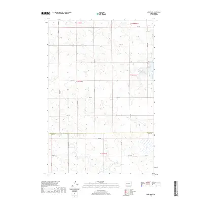 2020 Liens Dams2020 Print · USGSHettinger and Adams counties are shown here in the contemporary era, revealing a landscape defined by prairie watercourses and a strict grid of section-line roads. Researchers can trace the path of Chanta Peta Cr, the namesake Liens Dams, and travel along Three Mile Bridge Rd.
 - 2020 Map of Mott SW, 2020 Print
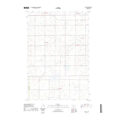 2020 Mott SW2020 Print · USGSHettinger County's open prairie and river bottoms are documented here in the early twenty-first century. Genealogists and land researchers can trace the course of the Cannonball River and locate landmarks like Forsch Rocks or Van Patton Slough.
 - 2020 Map of Whetstone Buttes, 2020 Print
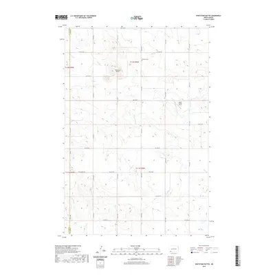 2020 Whetstone Buttes2020 Print · USGSBowman and Adams counties appear here in the modern era, showcasing a high-plains landscape defined by section lines and natural landmarks. Researchers can locate the Whetstone Cemetery, the prominent Whetstone Buttes, and the Hagen Private Airport.
 - 2020 Map of Pearl Butte, 2020 Print
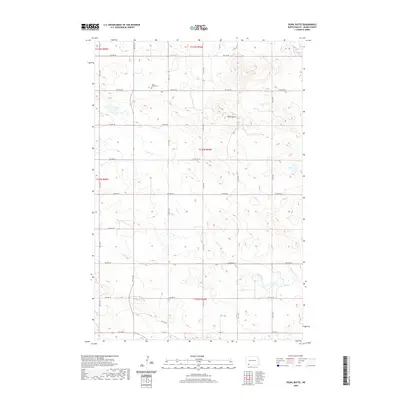 2020 Pearl Butte2020 Print · USGSAdams County remains a landscape of open range and precise section grids in this modern survey. Researchers can locate the Saint Peters Cem and trace the drainage of Duck Creek near the high ground of Pearl Butte.
 - 2020 Map of Plum Butte NE, 2020 Print
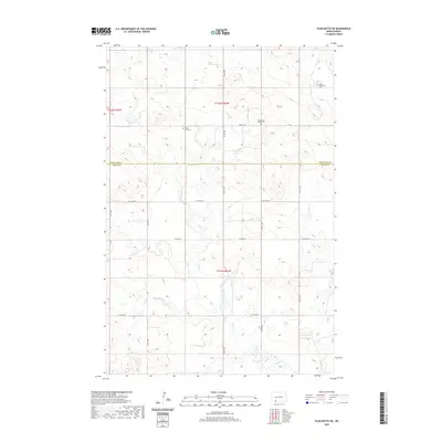 2020 Plum Butte NE2020 Print · USGSNorth Dakota's southern prairie landscape is captured here in the years following the turn of the millennium. Genealogists can locate significant rural landmarks including Sacred Heart Cem and Pilgerheim Baptist Cem along the Timber Creek drainage.
 - 2020 Map of Reeder, 2020 Print
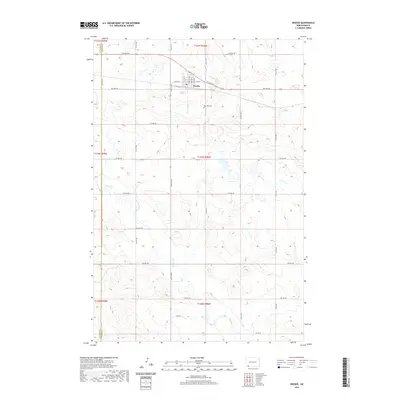 2020 Reeder2020 Print · USGSReeder and the surrounding Adams County prairie are shown in high detail during the early twenty-first century. Genealogists and researchers can locate Rose Hill Cem and trace the drainage of Buffalo Cr through the local section lines.
 - 2020 Map of Hettinger North, 2020 Print
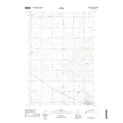 2020 Hettinger North2020 Print · USGSCovers Adams County, including Hettinger, United States, and other nearby areas
 - 2020 Map of Plum Butte, 2020 Print
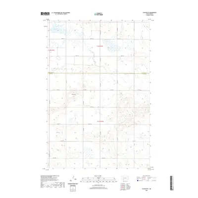 2020 Plum Butte2020 Print · USGSThe prairie landscape at the border of Hettinger and Adams Counties is captured here in its modern agricultural form. Genealogists and local historians can trace the grid of section roads like 83rd Street SW around landmarks such as Plum Butte and Dry Lake.
 - 2020 Map of Long Butte, 2020 Print
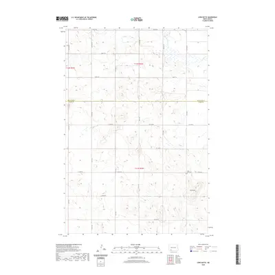 2020 Long Butte2020 Print · USGSThe prairie landscape south of Mott is captured here in the early twenty-first century, showing the rural crossroads of Hettinger and Adams counties. Family historians and researchers can locate Long Butte Cem and trace the drainage of Timber Cr across the northern sections.
 - 2020 Map of Enterprise School, 2020 Print
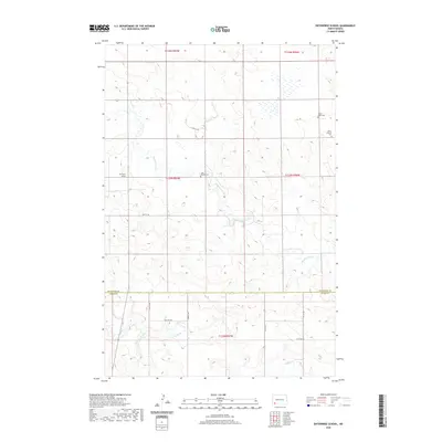 2020 Enterprise School2020 Print · USGSThe Hettinger County plains are captured here in a moment of rural quietude south of Mott. Researchers can trace the heritage of local homesteading through the Enterprise School site and scattered burials at Saint Helena Cem or Tepee Butte Cem.
 - 2020 Map of Coffin Buttes, 2020 Print
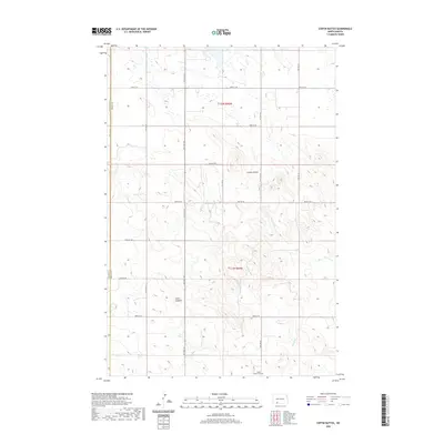 2020 Coffin Buttes2020 Print · USGSThe open prairie of Grant County is documented in the modern era, showing the enduring grid of section roads and natural basins. Researchers can locate the footprint of Pretty Rock Lake and trace the land divisions across this high-plains landscape.
 - 2020 Map of Barths Butte, 2020 Print
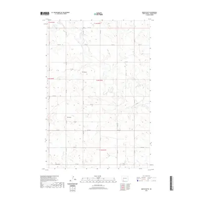 2020 Barths Butte2020 Print · USGSAdams County’s high prairie is captured here in the contemporary era, showing a landscape defined by its prominent buttes and creek drainages. Researchers can trace the section-line road grid near Barths Butte and Twin Buttes or follow the winding course of Cedar Cr.
 - 2020 Map of Ehler Lake, 2020 Print
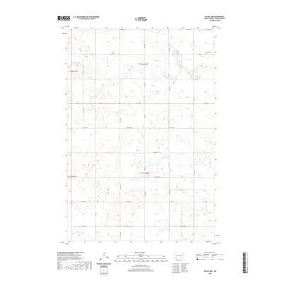 2020 Ehler Lake2020 Print · USGSAdams County's open prairie is documented in the modern era, showing the intersection of natural watercourses and the rural road grid. Genealogists can locate Richland Cem while researchers trace the paths of Ehler Lake and Wolf Butte Creek.
 - 2020 Map of Wolf Butte, 2020 Print
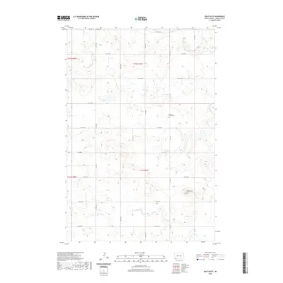 2020 Wolf Butte2020 Print · USGSAdams County in the modern era remains a landscape of high prairie and scattered watercourses. Local history and family roots can be traced through the Wolf Butte Lutheran Cem or by surveying the drainages of Cedar Cr and Duck Cr.
 - 2020 Map of Taylor Butte SE, 2020 Print
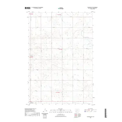 2020 Taylor Butte SE2020 Print · USGSThe northern edge of Hettinger and the high ground of Rocky Ridge dominate this recent look at Adams County. Genealogists and local historians can locate the Hettinger Cem and trace the drainage of Duck Cr through the sectional grid.
 - 2020 Map of Bucyrus, 2020 Print
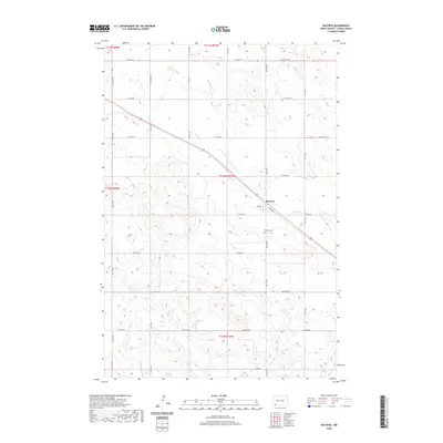 2020 Bucyrus2020 Print · USGSBucyrus and the high plains of Adams County are captured here in the early twenty-first century as the traditional rail-and-road grid remains unchanged. Researchers can locate Bucyrus Cem and trace the path of Flat Cr through this agricultural landscape.
 - 2020 Map of Nason Hill, 2020 Print
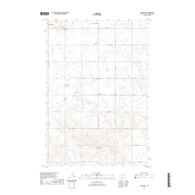 2020 Nason Hill2020 Print · USGSAdams County’s high plains are documented here in the early twenty-first century, showing a landscape defined by ranching and small rural parishes. Genealogists can locate family burial sites at Stowers Cem and the Holy Family Catholic Cem near the banks of Cedar Creek.
 - 2020 Map of Taylor Butte, 2020 Print
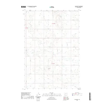 2020 Taylor Butte2020 Print · USGSNorth Dakota's high plains in the early twenty-first century are defined by an expansive grid of section-line roads and natural watercourses. Genealogists and local historians can trace the topography surrounding Taylor Butte, Ross Slough, and the diverse branches of Cedar Creek.
Showing maps 1-25 of 58
Top cities of Adams County
Frequently asked questions
- What are the different types of historical maps available for Adams County?
- What is the oldest map of Adams County?
- Where can I purchase historical maps of Adams County for my home or office?
- Where can I download high-res historical maps of Adams County?
- Are there historical topographic maps available for Adams County?
- Is there historical aerial imagery available for Adams County?
- Where are historical maps of Adams County sourced from?