2000s (21st Century) Maps of Bowman County, North Dakota
Explore 200 historic maps of Bowman County from the 2000s (21st Century). These maps offer a rare glimpse into what life looked like during the 2000s — showing old roads, neighborhoods, homes, and landmarks that have changed or disappeared over time.
Whether you're researching your family's past, planning a metal detecting trip, or studying how Bowman County's landscape evolved across the 2000s, these high-resolution maps are a powerful tool for exploring the history of this region.
- Focus on a specific era: All maps on this page are from the 2000s, giving you a focused view of this time period.
- See what’s changed: Compare century-old streets, trails, and buildings to today's modern landscape using overlays and satellite layers.
- Research with precision: Use these maps for genealogy, historical research, land use analysis, or educational projects.
- View, download, or print: Maps are fully viewable online in high resolution, and can be downloaded or printed for your own records.
Start exploring Bowman County's history through authentic maps from the 2000s. This is your window into the past.
Bowman County, ND maps
(200)- 2005 Map of Eagles Nest Butte, 2007 Print
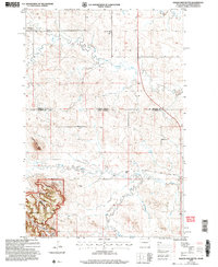 2005 Eagles Nest Butte2007 Print · USGSThe North Dakota and South Dakota borderlands meet here in the early twenty-first century, revealing a landscape of high plains ranching and national forest. Genealogists and local historians can locate the Feist Ranch, trace the Bullock Road, and find the sites of the Lone Tree School and Cox School.
 - 2005 Map of Ladner NE, 2007 Print
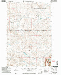 2005 Ladner NE2007 Print · USGSThe borderlands of South Dakota and North Dakota are documented here in the early 2000s, showing a high plains landscape of ranching and national forest. Genealogists and local historians can locate the Grand River Sch, Cox Ch, and family landmarks like Janvrin Ranch.
 - 2011 Map of Cow Butte, 2011 Print
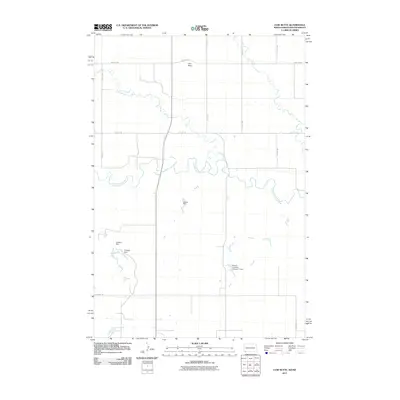 2011 Cow Butte2011 Print · USGSThe borderlands of Harding County come into focus during the early twenty-first century, centered on the landmark of Cow Butte. Researchers can trace the essential water-security network of this high plains region through features like Schaur Dam and Lightning Creek.
 - 2011 Map of Scranton NE, 2011 Print
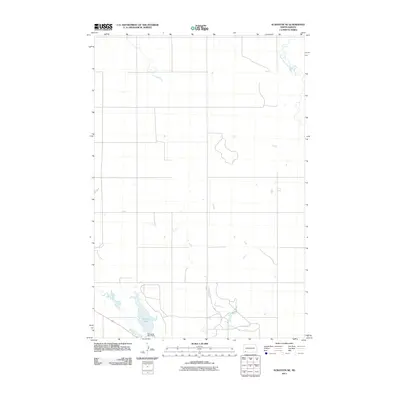 2011 Scranton NE2011 Print · USGSBowman County prairie lands are documented here in the early 2000s, showing a landscape shaped by rural section lines and vital water sources. Researchers can trace the drainage of Buffalo Creek or examine the footprint of Gascoyne Lake and its associated Gascoyne Lake Dam.
 - 2011 Map of Talbot Butte, 2011 Print
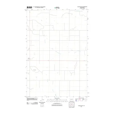 2011 Talbot Butte2011 Print · USGSBowman County’s high plains are documented here in the early twenty-first century, showing a landscape of ranching and open range. Researchers can trace the drainage of South Fork Cedar Creek or locate landmarks like Talbot Butte and the Butte View State Campground.
 - 2011 Map of Marmarth, 2011 Print
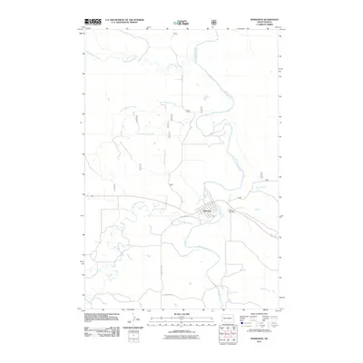 2011 Marmarth2011 Print · USGSMarmarth sits at a sharp bend in the Little Missouri River during the early 2000s, serving as a remote hub for southwestern North Dakota. Genealogists and local historians can trace the town's layout and find nearby Riverside Cemetery, Little Beaver Creek, and Bacon Creek.
 - 2011 Map of Cedar Ridge, 2011 Print
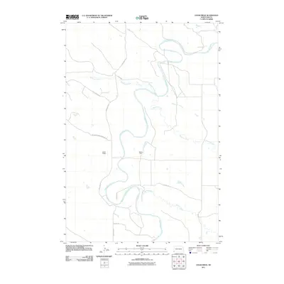 2011 Cedar Ridge2011 Print · USGSThe Little Missouri River loops through the North Dakota badlands during the early 2010s, reflecting a landscape shaped by both water and energy exploration. Local history researchers can trace the routes of Camp Crook Rd and find the location of Bagley Dam.
 - 2011 Map of Ives, 2011 Print
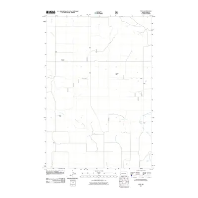 2011 Ives2011 Print · USGSBowman County ranchlands are documented here in the early twenty-first century, showing a landscape defined by family homesteads and prairie creeks. Researchers can trace local genealogy and land use through sites like Saint Paul Cemetery, Oldis Ranch, and the settlement of Ives.
 - 2011 Map of Gascoyne, 2011 Print
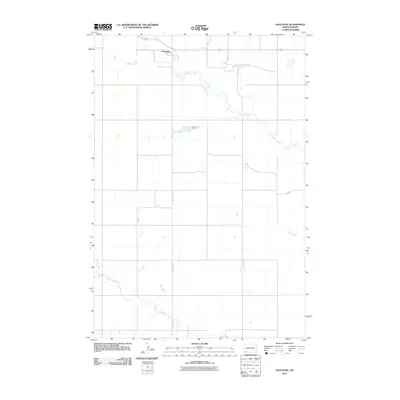 2011 Gascoyne2011 Print · USGSGascoyne and the surrounding North Dakota prairie are captured here in the early twenty-first century. Researchers can trace the meandering path of Buffalo Creek and locate the reservoir at Gascoyne Dam alongside the primary route of Gascoyne Rd.
 - 2011 Map of Griffin, 2011 Print
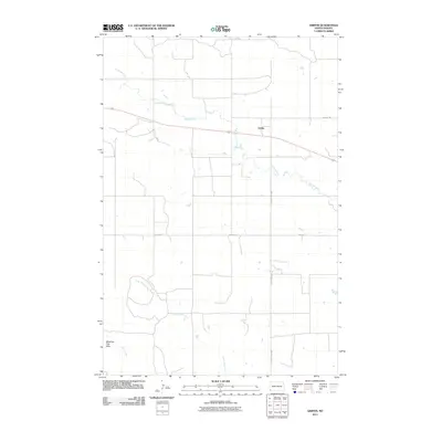 2011 Griffin2011 Print · USGSThe southwestern North Dakota prairie surrounds Griffin in the early twenty-first century, showing a landscape defined by ranch roads and watercourses. Researchers can trace the path of Old Hwy 12 and locate the distinct Medicine Pole Hills south of Spring Creek.
 - 2011 Map of Bowman, 2011 Print
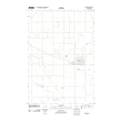 2011 Bowman2011 Print · USGSBowman and its surrounding prairie highlands are documented here at the start of the twenty-first century. Researchers can locate family sites near Saint Charles Cemetery, follow the path of Spring Creek, and trace the rural road network connecting Twin Buttes to the town center.
 - 2011 Map of Bowman SW, 2011 Print
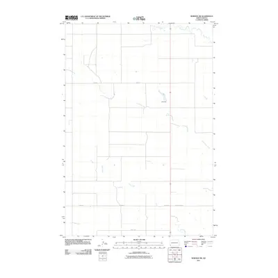 2011 Bowman SW2011 Print · USGSBowman County is captured here in the early twenty-first century, showcasing the resilient ranching landscape of southwestern North Dakota. Researchers can trace land use through features like Unks Dam and the courses of Cold Turkey Creek and Alkali Creek.
 - 2011 Map of Rhame SE, 2011 Print
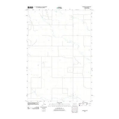 2011 Rhame SE2011 Print · USGSBowman County in the early twenty-first century remains a landscape of open range and winding waterways. Genealogists and land researchers can trace the course of the North Fork Grand River or follow rural transit along County Hwy-0823 and Amor Rd.
 - 2011 Map of Scranton SW, 2011 Print
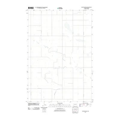 2011 Scranton SW2011 Print · USGSNorth Dakota's southwestern plains are captured here in the early twenty-first century, showing the enduring grid of the High Plains. Genealogists and historians can trace rural routes like Circle K Rd and Scranton Rd as they intersect near Lightning Creek.
 - 2011 Map of Kid Creek, 2011 Print
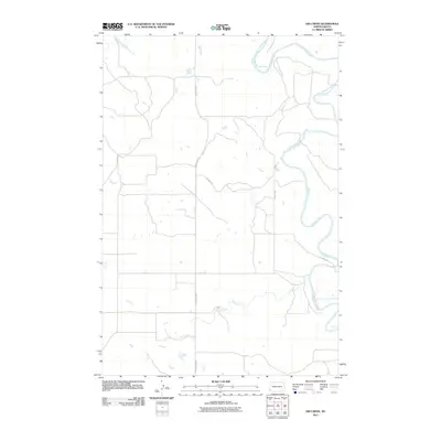 2011 Kid Creek2011 Print · USGSBowman County is depicted at the start of the second decade of the 2000s, showing a landscape defined by its remote river valleys. Genealogists and land researchers can trace property access and natural boundaries along the Little Missouri River, Kid Creek, and Oil Well Rd.
 - 2011 Map of Scranton, 2011 Print
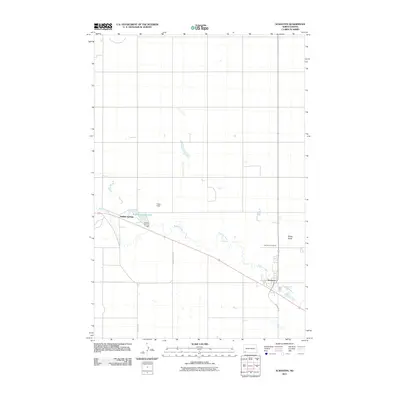 2011 Scranton2011 Print · USGSScranton and the surrounding Bowman County plains are shown in this modern survey of southwestern North Dakota. Genealogists and local historians can trace the layouts of Scranton, Buffalo Springs, and the Scranton Cemetery alongside Buffalo Creek.
 - 2011 Map of Cedar Hills, 2011 Print
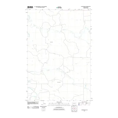 2011 Cedar Hills2011 Print · USGSBowman County's rugged drainage basins and high buttes are captured here during the early 2010s. Researchers can trace the winding path of the Little Missouri River and locate landmarks like Sunset Butte and Cedar Hills.
 - 2011 Map of West Fork Deep Creek, 2011 Print
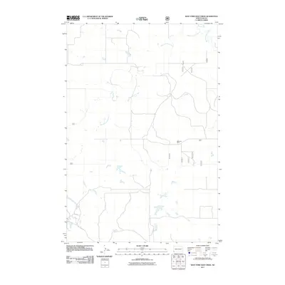 2011 West Fork Deep Creek2011 Print · USGSThe ranching country of western North Dakota is shown here as it appeared in the early 2000s. Genealogists and local historians can trace family landholdings like Bloomgren Ranch and follow the intricate drainage of West Fork Deep Creek and East Fork Deep Creek.
 - 2011 Map of Mud Buttes, 2011 Print
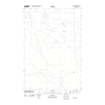 2011 Mud Buttes2011 Print · USGSBowman County prairie and badlands terrain are documented in detail during the early 2010s. Researchers can trace the winding paths of the Little Missouri River and Sevenmile Creek or locate landmarks like Rattlesnake Buttes and Mud Buttes.
 - 2011 Map of Stewart Lake, 2011 Print
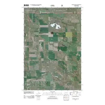 2011 Stewart Lake2011 Print · USGSSlope County's high plains and drainage networks are documented in this early twenty-first century survey. Researchers can trace the water levels of Stewart Lake and locate rural landmarks such as the Stuber Ranch and Stewart Lake Dam.
 - 2011 Map of Marmarth SE, 2011 Print
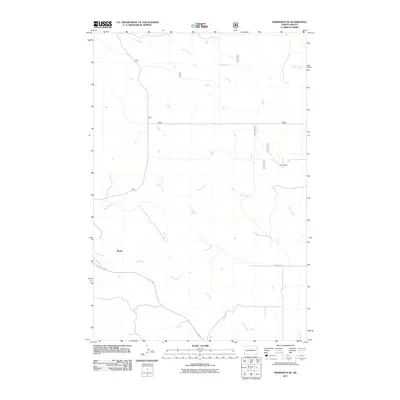 2011 Marmarth SE2011 Print · USGSSouthwestern North Dakota ranchlands are documented here in the early twenty-first century, showing the isolated settlement of Mazda. Researchers can trace the drainage basins of Indian Creek and Hay Creek or locate the site of Merz Ranch along these rural routes.
 - 2011 Map of Bowman SE, 2011 Print
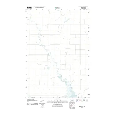 2011 Bowman SE2011 Print · USGSBowman County in the early twenty-first century reveals a quiet landscape of prairie drainages and reservoir waters. Researchers can trace the winding paths of Stage Creek and Cold Turkey Creek as they flow toward Bowman-Haley Lake.
 - 2011 Map of Mineral Springs, 2011 Print
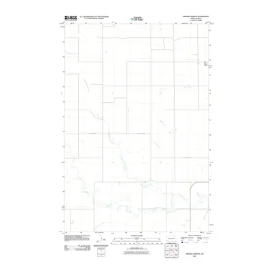 2011 Mineral Springs2011 Print · USGSSlope County remains a landscape of wide-open prairie and winding watercourses in this early twenty-first-century survey. Researchers can trace the meandering paths of Cedar Creek and its branches or locate landmarks like the Bob Denny Hills.
 - 2011 Map of Amidon SE, 2011 Print
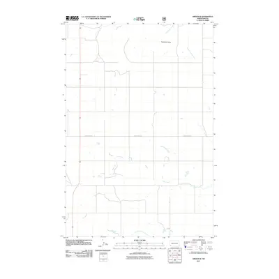 2011 Amidon SE2011 Print · USGSSlope County, North Dakota, is documented in the early twenty-first century as an expanse of prairie and ranch land. Researchers can trace the drainage of Cedar Creek and its many forks or locate landmarks like Rattlesnake Butte and Sand Creek.
 - 2011 Map of Warnke Hill, 2011 Print
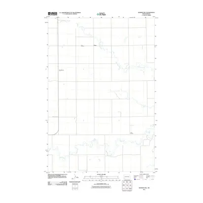 2011 Warnke Hill2011 Print · USGSThe rural landscape of Slope County is documented here during the early twenty-first century, showing the dispersed settlement pattern of the North Dakota plains. Genealogists and local historians can locate the Pierce Cemetery, the community of Pierce, and the more remote Cedar Cemetery.
Showing maps 1-25 of 200
Top cities of Bowman County
- Bowman historical maps
- Scranton historical maps
- Rhame historical maps
- Haley historical maps
- Gascoyne historical maps
Frequently asked questions
- What are the different types of historical maps available for Bowman County?
- What is the oldest map of Bowman County?
- Where can I purchase historical maps of Bowman County for my home or office?
- Where can I download high-res historical maps of Bowman County?
- Are there historical topographic maps available for Bowman County?
- Is there historical aerial imagery available for Bowman County?
- Where are historical maps of Bowman County sourced from?