2020s Maps of Bowman County, North Dakota
Explore 75 historic maps of Bowman County from the 2020s. These maps offer a rare glimpse into what life looked like during the 2020s — showing old roads, neighborhoods, homes, and landmarks that have changed or disappeared over time.
Whether you're researching your family's past, planning a metal detecting trip, or studying how Bowman County's landscape evolved across the 2020s, these high-resolution maps are a powerful tool for exploring the history of this region.
- Focus on a specific era: All maps on this page are from the 2020s, giving you a focused view of this time period.
- See what’s changed: Compare century-old streets, trails, and buildings to today's modern landscape using overlays and satellite layers.
- Research with precision: Use these maps for genealogy, historical research, land use analysis, or educational projects.
- View, download, or print: Maps are fully viewable online in high resolution, and can be downloaded or printed for your own records.
Start exploring Bowman County's history through authentic maps from the 2020s. This is your window into the past.
Bowman County, ND maps
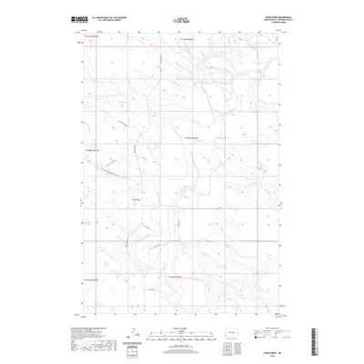
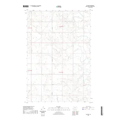
(75)- 2020 Map of Waterhole Creek, 2020 Print
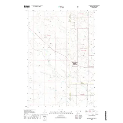 2020 Waterhole Creek2020 Print · USGSCovers Bowman County, including Fallon County, Slope County, and other nearby areas
 - 2020 Map of Snider Hill, 2020 Print
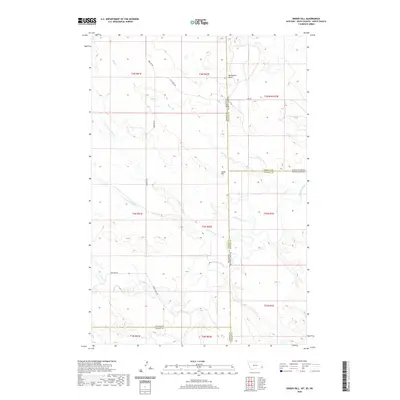 2020 Snider Hill2020 Print · USGSCovers Bowman County, including Fallon County, Carter County, and other nearby areas
 - 2020 Map of Scole School, 2020 Print
 2020 Scole School2020 Print · USGSCovers Bowman County, including Fallon County, United States, and other nearby areas
 - 2020 Map of Webster NE, 2020 Print
 2020 Webster NE2020 Print · USGSCovers Bowman County, including Fallon County, United States, and other nearby areas
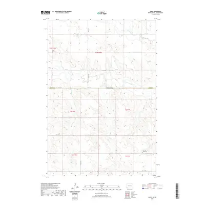
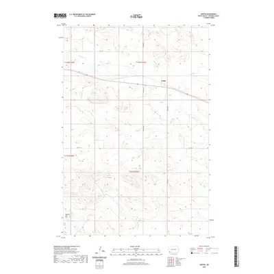
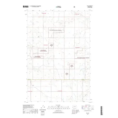
 - 2020 Map of Haley, 2020 Print
 2020 Haley2020 Print · USGSCovers Bowman County, including Haley, Harding County, and other nearby areas
 - 2020 Map of Bowman-Haley Dam, 2020 Print
 2020 Bowman-Haley Dam2020 Print · USGSCovers Bowman County, including Harding County, United States, and other nearby areas
 - 2020 Map of Doaks Butte, 2020 Print
 2020 Doaks Butte2020 Print · USGSCovers Bowman County, including Harding County, United States, and other nearby areas
 - 2020 Map of Cedar Lake, 2020 Print
 2020 Cedar Lake2020 Print · USGSCovers Bowman County, including Slope County, Hettinger County, and other nearby areas
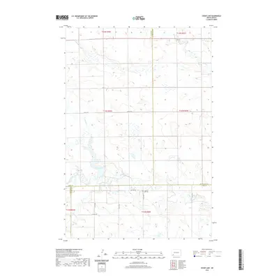
 - 2020 Map of Whetstone Buttes, 2020 Print
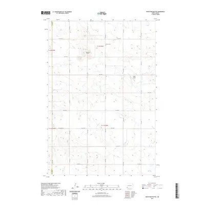 2020 Whetstone Buttes2020 Print · USGSCovers Bowman County, including Adams County, United States, and other nearby areas
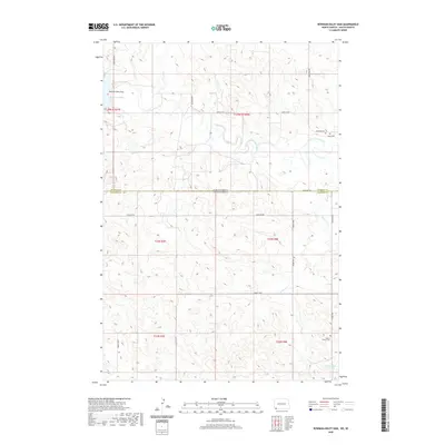
 - 2020 Map of Reeder, 2020 Print
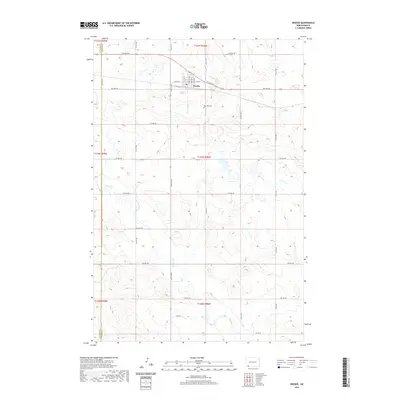 2020 Reeder2020 Print · USGSCovers Bowman County, including Reeder, Adams County, and other nearby areas
 - 2020 Map of Bowman SE, 2020 Print
 2020 Bowman SE2020 Print · USGSCovers Bowman County, including United States, North Dakota, and other nearby areas
 - 2020 Map of Bowman SW, 2020 Print
 2020 Bowman SW2020 Print · USGSCovers Bowman County, including United States, North Dakota, and other nearby areas
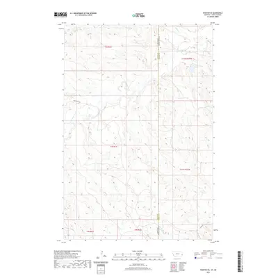
 - 2020 Map of Marmarth, 2020 Print
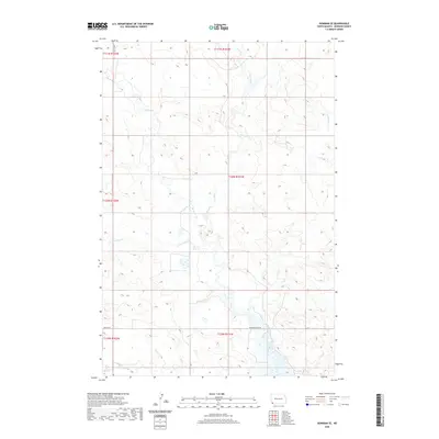
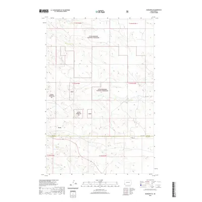
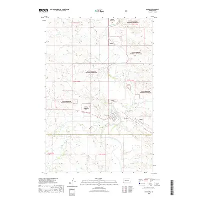 2020 Marmarth2020 Print · USGSCovers Bowman County, including Marmarth, Slope County, and other nearby areas
 - 2020 Map of Cedar Ridge, 2020 Print
 2020 Cedar Ridge2020 Print · USGSCovers Bowman County, including United States, North Dakota, and other nearby areas
 - 2020 Map of Gascoyne, 2020 Print
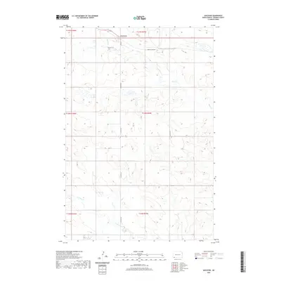 2020 Gascoyne2020 Print · USGSCovers Bowman County, including Gascoyne, United States, and other nearby areas
 - 2020 Map of Griffin, 2020 Print
 2020 Griffin2020 Print · USGSCovers Bowman County, including Griffin, United States, and other nearby areas
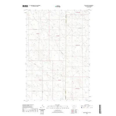
 - 2020 Map of Mineral Springs, 2020 Print
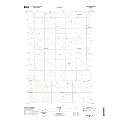 2020 Mineral Springs2020 Print · USGSCovers Bowman County, including Slope County, United States, and other nearby areas
 - 2020 Map of Kid Creek, 2020 Print
 2020 Kid Creek2020 Print · USGSCovers Bowman County, including United States, North Dakota, and other nearby areas
 - 2020 Map of Marmarth SE, 2020 Print
 2020 Marmarth SE2020 Print · USGSCovers Bowman County, including Mazda, Slope County, and other nearby areas
 - 2020 Map of Cow Butte, 2020 Print
 2020 Cow Butte2020 Print · USGSCovers Bowman County, including Harding County, Perkins County, and other nearby areas
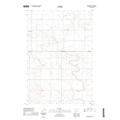
 - 2020 Map of Ives, 2020 Print
 2020 Ives2020 Print · USGSCovers Bowman County, including Ives, Slope County, and other nearby areas
 - 2020 Map of Rhame, 2020 Print
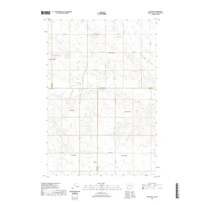
 2020 Rhame2020 Print · USGSCovers Bowman County, including Rhame, United States, and other nearby areas
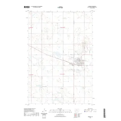
 - 2020 Map of Talbot Butte, 2020 Print
 2020 Talbot Butte2020 Print · USGSCovers Bowman County, including United States, North Dakota, and other nearby areas
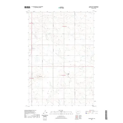
 - 2020 Map of Bowman, 2020 Print
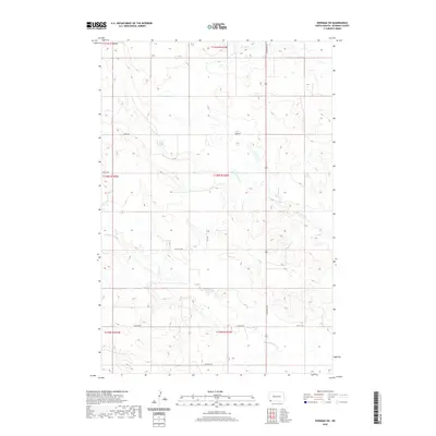
 2020 Bowman2020 Print · USGSCovers Bowman County, including Bowman, United States, and other nearby areas
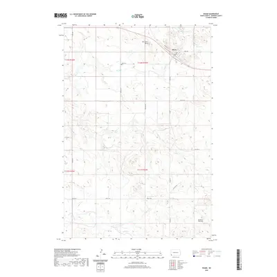
 - 2020 Map of Camel Butte, 2020 Print
 2020 Camel Butte2020 Print · USGSCovers Bowman County, including United States, North Dakota, and other nearby areas
Showing maps 1-25 of 75
Top cities of Bowman County
- Bowman historical maps
- Scranton historical maps
- Rhame historical maps
- Haley historical maps
- Gascoyne historical maps
Frequently asked questions
- What are the different types of historical maps available for Bowman County?
- What is the oldest map of Bowman County?
- Where can I purchase historical maps of Bowman County for my home or office?
- Where can I download high-res historical maps of Bowman County?
- Are there historical topographic maps available for Bowman County?
- Is there historical aerial imagery available for Bowman County?
- Where are historical maps of Bowman County sourced from?