2010s Maps of Grant County, North Dakota
Explore 132 historic maps of Grant County from the 2010s. These maps offer a rare glimpse into what life looked like during the 2010s — showing old roads, neighborhoods, homes, and landmarks that have changed or disappeared over time.
Whether you're researching your family's past, planning a metal detecting trip, or studying how Grant County's landscape evolved across the 2010s, these high-resolution maps are a powerful tool for exploring the history of this region.
- Focus on a specific era: All maps on this page are from the 2010s, giving you a focused view of this time period.
- See what’s changed: Compare century-old streets, trails, and buildings to today's modern landscape using overlays and satellite layers.
- Research with precision: Use these maps for genealogy, historical research, land use analysis, or educational projects.
- View, download, or print: Maps are fully viewable online in high resolution, and can be downloaded or printed for your own records.
Start exploring Grant County's history through authentic maps from the 2010s. This is your window into the past.
Grant County, ND maps
(132)- 2011 Map of Clark Butte NE, 2011 Print
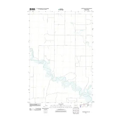 2011 Clark Butte NE2011 Print · USGSStark County's open prairie and river valleys are captured here in the early twenty-first century as agricultural life continues along the water. Genealogists and land researchers can trace property boundaries and rural access roads near the Heart River, Peters Creek, and Beaver Creek.
 - 2011 Map of Clark Butte, 2011 Print
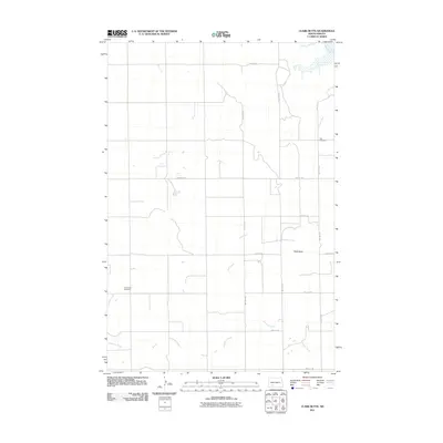 2011 Clark Butte2011 Print · USGSGrant County is captured in the early twenty-first century as a rural expanse of prairie and creek beds. Genealogists and local historians can locate early family burial sites at Zion Cemetery and Freidenfeld Cemetery or trace the geography of Clark Butte.
 - 2011 Map of North Star Butte, 2011 Print
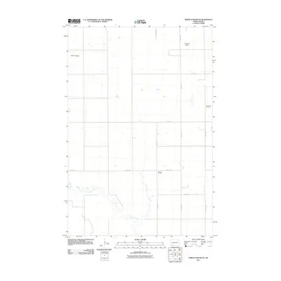 2011 North Star Butte2011 Print · USGSGrant County is shown here in the early 21st century as a landscape of prairie buttes and section-line farm roads. Genealogists and local historians can locate rural burial grounds such as Philadelphia Cemetery and Ebenezer Cemetery near Thirtymile Creek.
 - 2011 Map of Bentley, 2011 Print
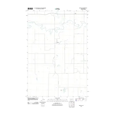 2011 Bentley2011 Print · USGSHettinger County's rural prairie landscape is captured here in the early twenty-first century, centered on the small community of Bentley. Researchers can locate the Odessa Cemetery and trace the winding path of the Cannonball River through the section grid.
 - 2011 Map of Green Ridge, 2011 Print
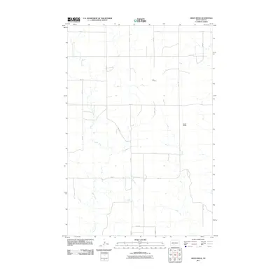 2011 Green Ridge2011 Print · USGSMorton County remains a landscape of deep-rooted agriculture and prairie terrain in the early twenty-first century. Genealogists and local historians can trace legacy land divisions along County Rd 84 and locate the historic Zion Cemetery near Green Ridge.
 - 2011 Map of Raleigh, 2011 Print
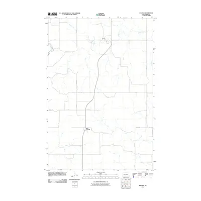 2011 Raleigh2011 Print · USGSGrant County agricultural life is captured here in the early twenty-first century, centered on the small rural communities of the Missouri Plateau. Genealogists and local historians can trace family land proximity to Raleigh, the settlement at Saint Gertrude, or the banks of Dogtooth Creek.
 - 2011 Map of Crown Butte Creek SE, 2011 Print
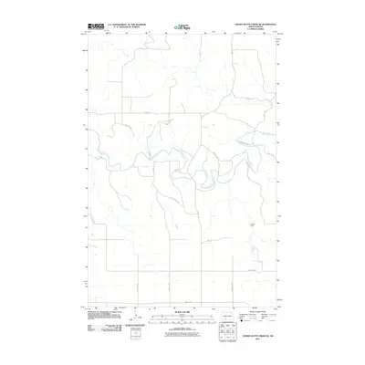 2011 Crown Butte Creek SE2011 Print · USGSGrant County is captured in the early twenty-first century, showing a remote agricultural landscape dominated by the winding Heart River. Researchers can trace local water management at Shriek Dam or follow section-line routes like 57th St SW and 52nd Ave SW.
 - 2011 Map of Lookout Butte SE, 2011 Print
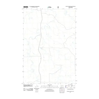 2011 Lookout Butte SE2011 Print · USGSThe Porcupine District of Sioux County is captured here in the early twenty-first century, showing a remote landscape defined by its waterways. Genealogists and researchers can trace the winding courses of Cedar Creek, Roger Creek, and the uniquely named Leaf on the Hill Creek.
 - 2011 Map of Otter Creek East, 2011 Print
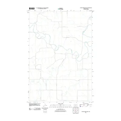 2011 Otter Creek East2011 Print · USGSMorton County at the start of the 2010s shows a landscape shaped by the winding Heart River and wide-open prairie. Researchers can trace the drainage patterns of Otter Creek and Beaver Creek among the rural section roads.
 - 2011 Map of Crown Butte Creek NW, 2011 Print
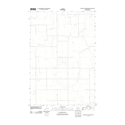 2011 Crown Butte Creek NW2011 Print · USGSThis rural portion of Morton County is shown in the early twenty-first century, preserving the precise grid of the North Dakota prairie. Local history researchers can trace old section lines and property boundaries along County Rd 87, Bahr Creek, and the uniquely named Don't Dr.
 - 2011 Map of Round Top, 2011 Print
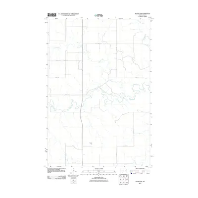 2011 Round Top2011 Print · USGSSioux County's open prairie and winding waterways are captured in the early twenty-first century as agricultural life follows the land's natural contours. Genealogists and land historians can trace property boundaries near Round Top or along the banks of Cedar Creek and Timber Creek.
 - 2011 Map of Timmer, 2011 Print
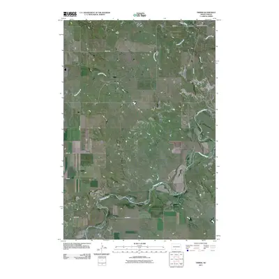 2011 Timmer2011 Print · USGSThe northern plains of Morton County are captured here in the early twenty-first century, centered on the quiet crossroads of Timmer. Researchers can trace the winding Cannonball River and locate family history sites like the Saint George Cemetery and Dogtooth Creek.
 - 2011 Map of Shields, 2011 Print
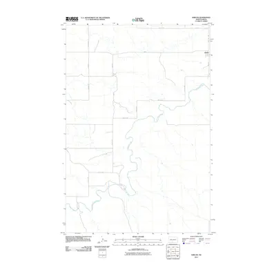 2011 Shields2011 Print · USGSThe rural community of Shields and its surrounding prairie lands are captured here just after the first decade of the new millennium. Researchers can trace the winding Cannonball River and the grid of section roads like 40th Ave SW and 85th St SW.
 - 2011 Map of Pretty Rock Butte SE, 2011 Print
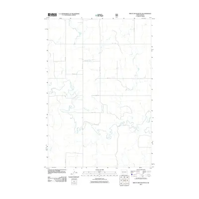 2011 Pretty Rock Butte SE2011 Print · USGSSioux County's open rangeland is documented here in the early twenty-first century, showing the intersection of vital waterways and section roads. Researchers can trace the winding paths of Cedar Creek and Brushy Creek alongside local routes like 90th Ave SW.
 - 2011 Map of Almont West, 2011 Print
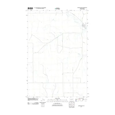 2011 Almont West2011 Print · USGSAlmont sits at the edge of the Morton County prairies during the early twenty-first century. Researchers can trace the town's original street layout along Mandan Ave and follow the winding course of Big Muddy Creek through the surrounding ranchland.
 - 2011 Map of Wheeler Hills, 2011 Print
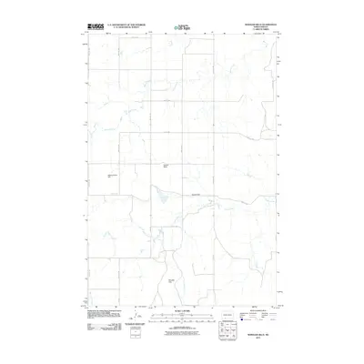 2011 Wheeler Hills2011 Print · USGSGrant County in the early twenty-first century is a landscape of expansive prairie ridges and creek drainages. Researchers can trace the section-line road networks and landforms like Blind Johnny Hill, Russell Butte, and Howard Dam.
 - 2011 Map of Dogtooth Buttes, 2011 Print
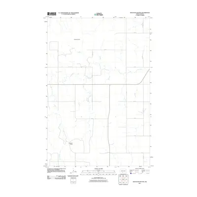 2011 Dogtooth Buttes2011 Print · USGSNorth Dakota's high prairie is mapped here in the early twenty-first century, showing the rural structure of southern Morton County. Local history researchers can trace the drainage of Louse Creek and Dogtooth Creek near landmarks like Dogtooth Buttes.
 - 2011 Map of Heil, 2011 Print
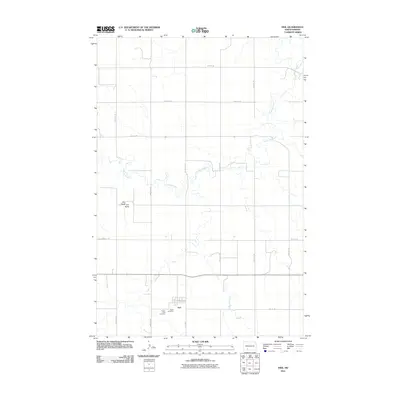 2011 Heil2011 Print · USGSHeil and the surrounding Grant County grasslands are captured here in the early twenty-first century. Genealogists can locate family sites near Prairie View Cemetery or Peace Cemetery, while others can trace the course of Antelope Creek near Elm Butte.
 - 2011 Map of Crown Butte Creek SW, 2011 Print
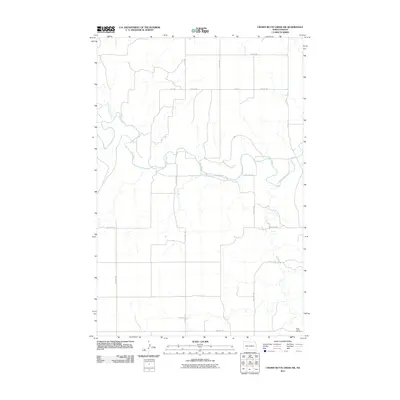 2011 Crown Butte Creek SW2011 Print · USGSThe Heart River valley in Grant County is shown here in the early twenty-first century, defined by its meandering watercourses and rigid section-line roads. Genealogists can locate Saint Johns Cemetery or trace the drainage of Heart Butte Creek.
 - 2011 Map of Paradise Flats, 2011 Print
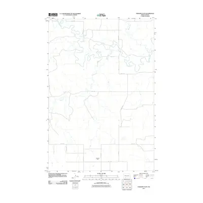 2011 Paradise Flats2011 Print · USGSGrant County is captured in the early twenty-first century as a landscape of meandering waterways and quiet prairie. Trace the winding course of the Cannonball River and identify the local road network connecting Paradise Flats and Snake Creek.
 - 2011 Map of Bell Coulee East, 2011 Print
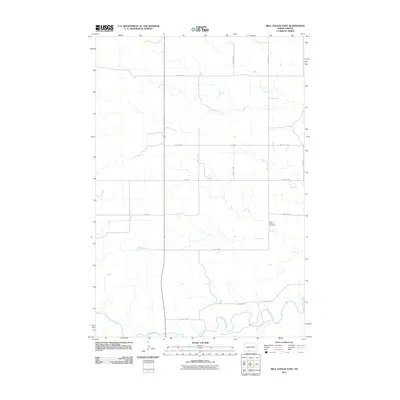 2011 Bell Coulee East2011 Print · USGSSioux County's open plains and river bottoms are documented here in the early twenty-first century. Genealogists and local historians can locate Saint Gabriel Cemetery or trace the winding course of the Cannonball River and Leaf on the Hill Creek.
 - 2011 Map of Freda, 2011 Print
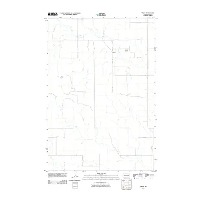 2011 Freda2011 Print · USGSGrant County’s prairie landscape is documented here in the early twenty-first century, centered on the small settlement of Freda. Genealogists and local historians can locate Bethesda Cemetery and trace the drainage of Dogtooth Creek past the prominent Three Buttes.
 - 2011 Map of Porcupine, 2011 Print
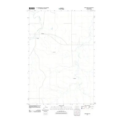 2011 Porcupine2011 Print · USGSThe Porcupine District of Sioux County is captured here in the early twenty-first century, showcasing the rural landscape of the Standing Rock Reservation. Genealogists and local historians can trace the area around Porcupine and Chadwick, or locate the Congregational Cemetery.
 - 2011 Map of Almont East, 2011 Print
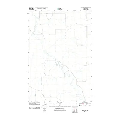 2011 Almont East2011 Print · USGSMorton County remains a landscape of sprawling creek beds and rural section roads in the early twenty-first century. Researchers can trace family history at Almont Cemetery or follow the intricate oxbows of Big Muddy Creek and Hailstone Creek.
 - 2011 Map of Heart Butte, 2011 Print
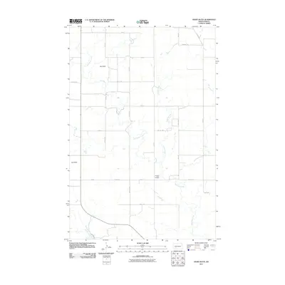 2011 Heart Butte2011 Print · USGSThe open prairie of Morton County is mapped here in the early twenty-first century, showing the enduring agricultural grid of the North Dakota landscape. Genealogists and local historians can locate Old Saint Joseph Cemetery and trace landmarks like Heart Butte and Wolf Butte.
Showing maps 1-25 of 132
Top cities of Grant County
- Elgin historical maps
- Carson historical maps
- New Leipzig historical maps
- Raleigh historical maps
- Lark historical maps
- Leith historical maps
See more
Frequently asked questions
- What are the different types of historical maps available for Grant County?
- What is the oldest map of Grant County?
- Where can I purchase historical maps of Grant County for my home or office?
- Where can I download high-res historical maps of Grant County?
- Are there historical topographic maps available for Grant County?
- Is there historical aerial imagery available for Grant County?
- Where are historical maps of Grant County sourced from?