2010s Maps of Four Bears Segment, North Dakota
Explore 18 historic maps of Four Bears Segment from the 2010s. These maps offer a rare glimpse into what life looked like during the 2010s — showing old roads, neighborhoods, homes, and landmarks that have changed or disappeared over time.
Whether you're researching your family's past, planning a metal detecting trip, or studying how Four Bears Segment's landscape evolved across the 2010s, these high-resolution maps are a powerful tool for exploring the history of this region.
- Focus on a specific era: All maps on this page are from the 2010s, giving you a focused view of this time period.
- See what’s changed: Compare century-old streets, trails, and buildings to today's modern landscape using overlays and satellite layers.
- Research with precision: Use these maps for genealogy, historical research, land use analysis, or educational projects.
- View, download, or print: Maps are fully viewable online in high resolution, and can be downloaded or printed for your own records.
Start exploring Four Bears Segment's history through authentic maps from the 2010s. This is your window into the past.
Four Bears Segment, ND maps
(18)- 2011 Map of Sanish SW, 2011 Print
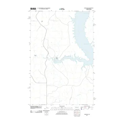 2011 Sanish SW2011 Print · USGSThe Missouri River breaks into the vast reservoir of Lake Sakakawea in the early 21st century, illustrating a landscape defined by water engineering and native lands. Researchers can trace the winding paths of Writing Rock Coulee, Bear Den Creek, and the heights of Blue Butte.
 - 2011 Map of Sanish NW, 2011 Print
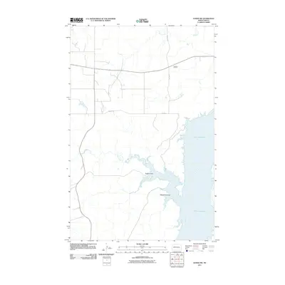 2011 Sanish NW2011 Print · USGSThe northern Missouri River breaks in North Dakota appear here just after the first decade of the millennium. Genealogists and local historians can locate Goodbird Cemetery and trace the rugged shoreline of Lake Sakakawea at Rough Coulee and Whitebody Coulee.
 - 2011 Map of Sanish, 2011 Print
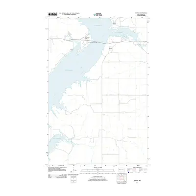 2011 Sanish2011 Print · USGSMountrail County's shoreline along the Missouri River is captured here in the early 21st century, showing the modern layout of the Fort Berthold Indian Reservation. Researchers can trace local landmarks like Riverview Cemetery, the settlement of Sanish, and the vital Four Bears Memorial Bridge.
 - 2011 Map of Blue Buttes, 2011 Print
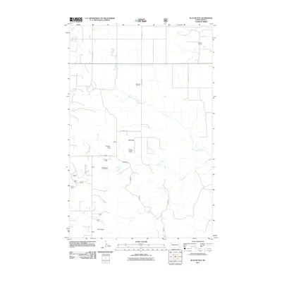 2011 Blue Buttes2011 Print · USGSThe McKenzie County ranchlands and energy fields are documented here during the early twenty-first century. Genealogists and historians can trace family landholdings like Van Dyke Ranch and landmark sites including Redeemer Cemetery and Chimney Butte.
 - 2011 Map of Blue Buttes SE, 2011 Print
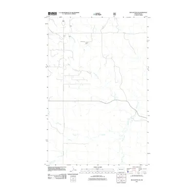 2011 Blue Buttes SE2011 Print · USGSMcKenzie County's Four Bears Segment is shown here in the early twenty-first century, highlighting the rural ranching landscape. Genealogists and researchers can trace family-named landmarks like C Mercer Ranch and the winding course of Handy Water Creek.
 - 2011 Map of Rat Lake SE, 2011 Print
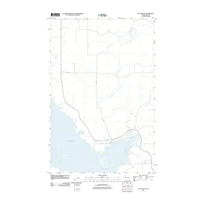 2011 Rat Lake SE2011 Print · USGSThe Missouri River valley in western North Dakota appears here just after the first decade of the millennium. Local researchers can trace the winding course of the Little Knife River as it joins the northern reaches of Lake Sakakawea.
 - 2014 Map of Rat Lake SE, 2014 Print
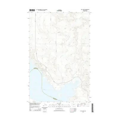 2014 Rat Lake SE2014 Print · USGSMountrail and McKenzie counties meet along the Missouri River in this mid-2010s survey of the North Dakota plains. Researchers can trace the modern shoreline of Lake Sakakawea and follow the meandering path of the Little Knife River as it cuts toward the reservoir.
 - 2014 Map of Blue Buttes SE, 2014 Print
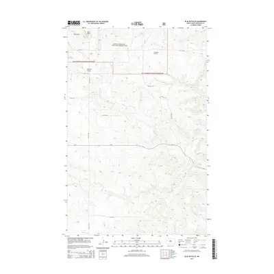 2014 Blue Buttes SE2014 Print · USGSMcKenzie County's badlands terrain is captured here in the early twenty-first century, showing a landscape shaped by both nature and industry. Researchers can trace the development of the Blue Buttes Oil and Gas Field and landmarks like Aura Butte or Foreman Coulee.
 - 2014 Map of Sanish, 2014 Print
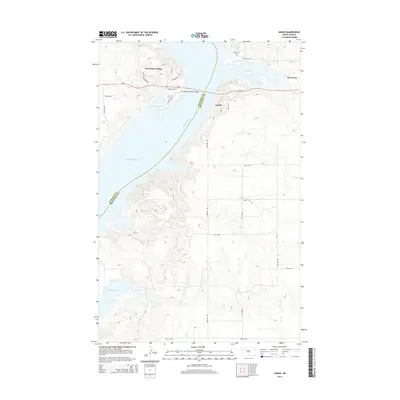 2014 Sanish2014 Print · USGSMountrail and McKenzie counties meet at the Missouri River in this recent survey of tribal lands and shoreline communities. Researchers can trace the development of New Town, find the Riverview Cem, and locate Four Bears Village west of the bridge.
 - 2014 Map of Sanish SW, 2014 Print
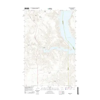 2014 Sanish SW2014 Print · USGSThe Missouri River breaks of Western North Dakota are captured here in the early twenty-first century as they meet the waters of Lake Sakakawea. Researchers can trace the layout of Mandaree and explore the complex drainage networks of Bear Den Bay and Horse Camp Coulee.
 - 2014 Map of Sanish NW, 2014 Print
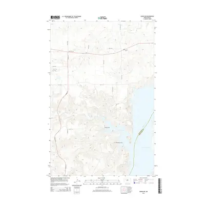 2014 Sanish NW2014 Print · USGSThe Missouri River breaks into the vast Lake Sakakawea during the early twenty-first century along the border of McKenzie and Mountrail counties. Researchers can trace the local landscape through the Antelope Oil Field, Goodbird Cem, and the winding Rough Coulee.
 - 2014 Map of Blue Buttes, 2014 Print
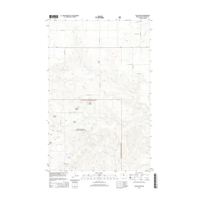 2014 Blue Buttes2014 Print · USGSMcKenzie County's high plains and badlands are captured here in the early twenty-first century, showing a landscape defined by ranching and energy. Genealogists and researchers can locate the Redeemer Cem and trace early oil development at Antelope Oil Field or landmarks like Chimney Butte.
 - 2017 Map of Sanish NW, 2017 Print
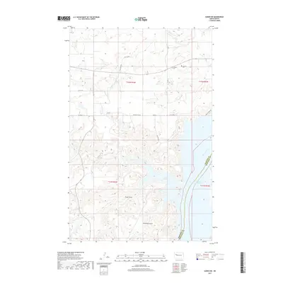 2017 Sanish NW2017 Print · USGSThe Missouri River breaks of Mountrail County appear in detail here, showing the dramatic interface of the prairie and the shoreline. Genealogists can locate family burial sites such as Goodbird Cem and Matthews Cem near the waters of Hunts Along Bay.
 - 2017 Map of Blue Buttes, 2017 Print
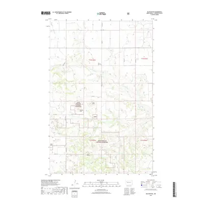 2017 Blue Buttes2017 Print · USGSThe McKenzie County high country is documented here during the mid-2010s, showcasing the vast federal acreage of the Little Missouri National Grassland. Researchers can locate Our Redeemer Cem and trace the drainage of Clarks Cr among landmarks like Chimney Butte.
 - 2017 Map of Sanish, 2017 Print
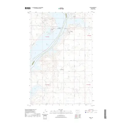 2017 Sanish2017 Print · USGSThe bluffs of the Missouri River valley appear here in the late twenty-tens, where the expansive Lake Sakakawea defines the geography. Local researchers can locate Grand Valley Lutheran Cemetery and the settlement of Sanish near the Four Bears Memorial Bridge.
 - 2017 Map of Rat Lake SE, 2017 Print
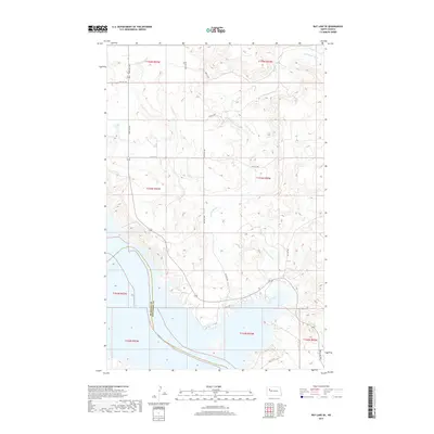 2017 Rat Lake SE2017 Print · USGSThe northern reaches of Lake Sakakawea and the winding Little Knife River define this North Dakota landscape in the late 2010s. Genealogists and local historians can trace the McKenzie and Mountrail County line and rural routes like 92nd Ave NW.
 - 2017 Map of Blue Buttes SE, 2017 Print
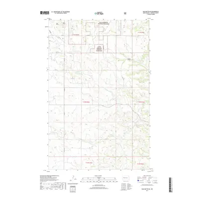 2017 Blue Buttes SE2017 Print · USGSMcKenzie County's high plains are documented here during the mid-2010s, showing a landscape shaped by conservation and grazing. Researchers can trace land parcels near Blue Buttes or follow the paths of Handy Water Cr and Bear Den Cr.
 - 2018 Map of Sanish SW, 2018 Print
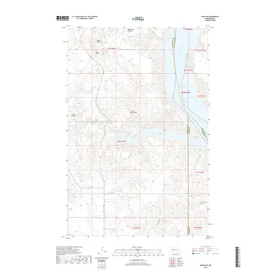 2018 Sanish SW2018 Print · USGSLake Sakakawea and the Missouri River breaks define this area in 2018, where tribal lands meet the edges of three North Dakota counties. Trace the rugged drainage of Writing Rock Coulee and Bear Den Bay, or locate the high point of Blue Butte.
End of results
Showing maps 1-18 of 18
Top cities near Four Bears Segment
Top neighborhoods of Four Bears Segment
Frequently asked questions
- What are the different types of historical maps available for Four Bears Segment?
- What is the oldest map of Four Bears Segment?
- Where can I purchase historical maps of Four Bears Segment for my home or office?
- Where can I download high-res historical maps of Four Bears Segment?
- Are there historical topographic maps available for Four Bears Segment?
- Is there historical aerial imagery available for Four Bears Segment?
- Where are historical maps of Four Bears Segment sourced from?